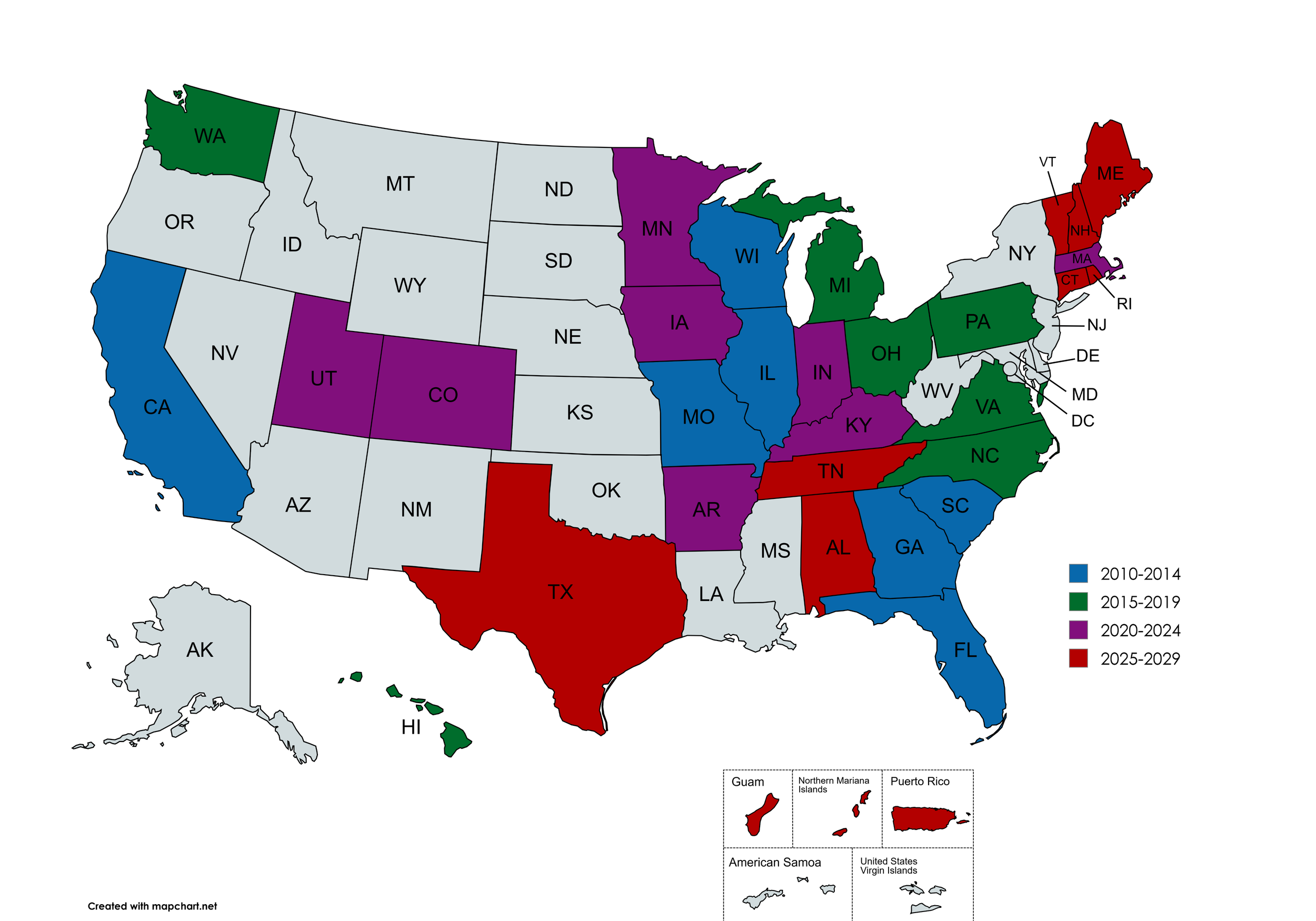
Navigating New England: CT, RI, NH, ME, and VT
May 20th – June 5th
Connecticut, Rhode Island, New Hampshire, Maine, Vermont
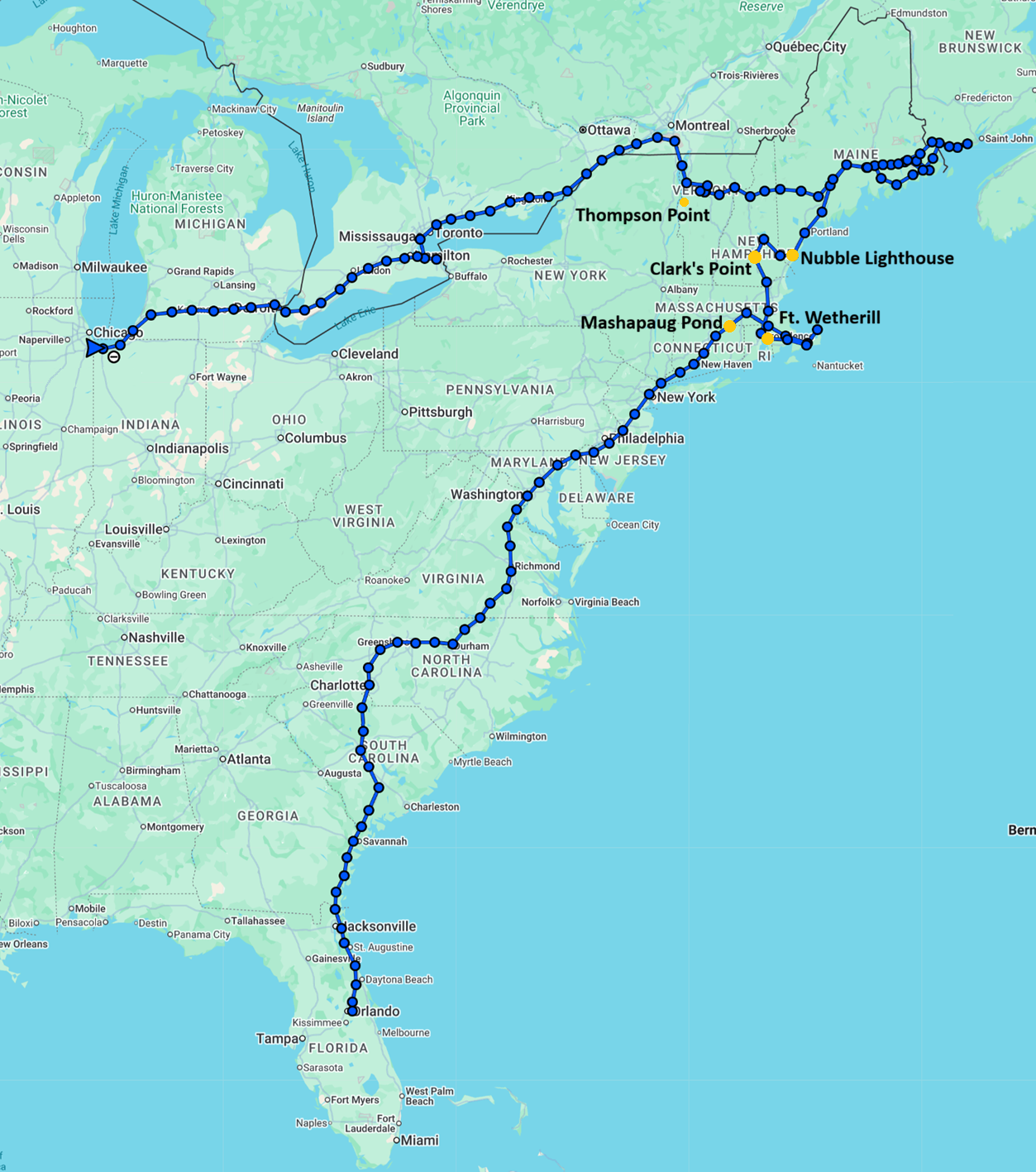
Roughly 3,900 miles
Trying to find a time and place for the entire family to meet up and get together is always a difficult endeavor. After some debate, much back and forth, we finally settled on a destination. This year’s family adventure was a trip to Vermont for a relaxing break in nature. This is a new region of the country for me and combined with my never-ending quest to go diving in all 50 states, it led me to make another questionable life choice. This one started, like so many questionable life choices, with flying down to Florida. The plan was to slowly drive and road trip up from Florida to Vermont to meet the family while knocking out 5 new states on the way. On the world’s most efficient route ever.
Leg One: Florida to North Carolina
The time in Florida was baseline Florida. Swung by Seminole Scuba to grab a full face mask to try that out on this adventure, Disney Springs for the traditional Earl of Sandwich, sandwiches and then just started the journey north to Mooresville, North Carolina.
Our time in Mooresville was short, spent mostly working and trying not to get murdered by a cult celebration that Kody got roped into by a previous student-friend. There were talks about diving in a “new to us” quarry, but given the time, weather, general apathy, and the fact we’d both been diving in NC before, we skipped it for another weekend. We escaped mostly unscathed and continued north to Connecticut.
Leg Two: North Carolina to Connecticut
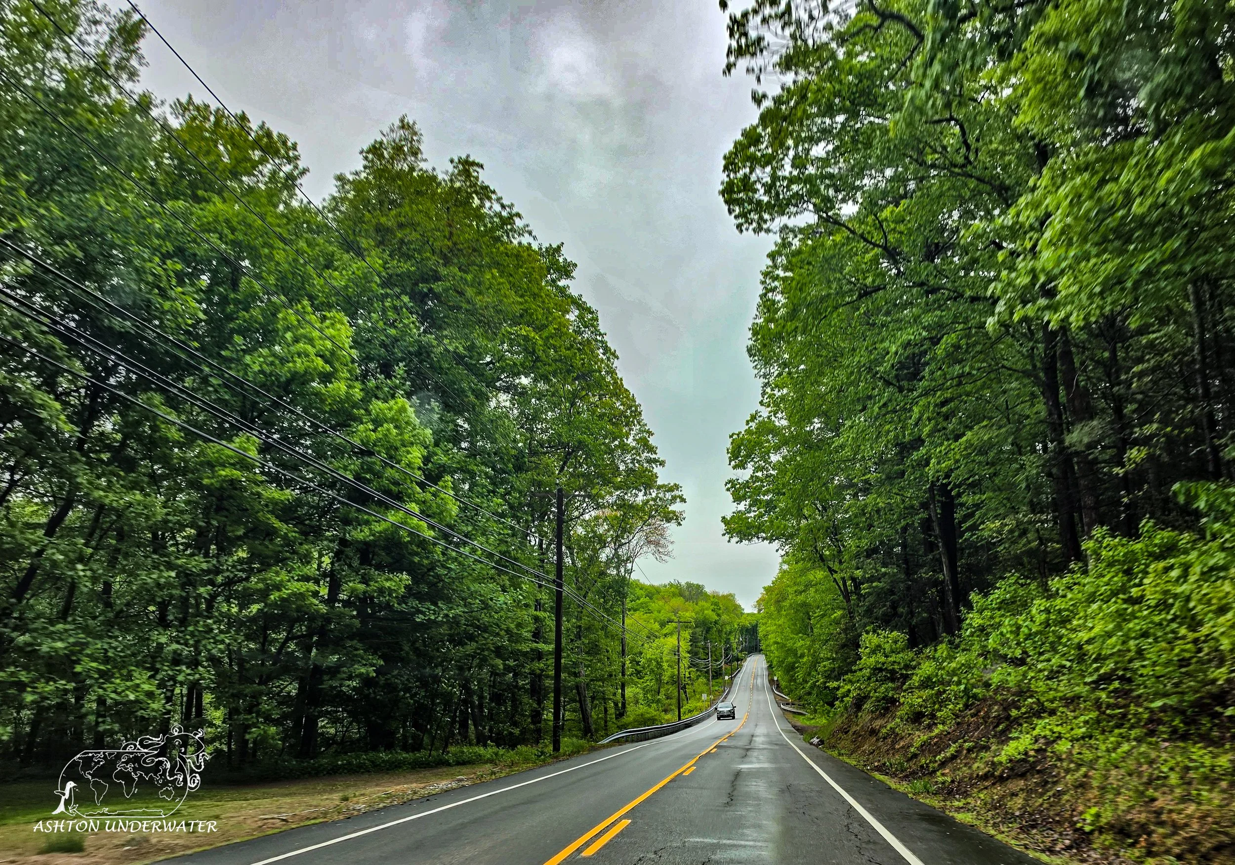
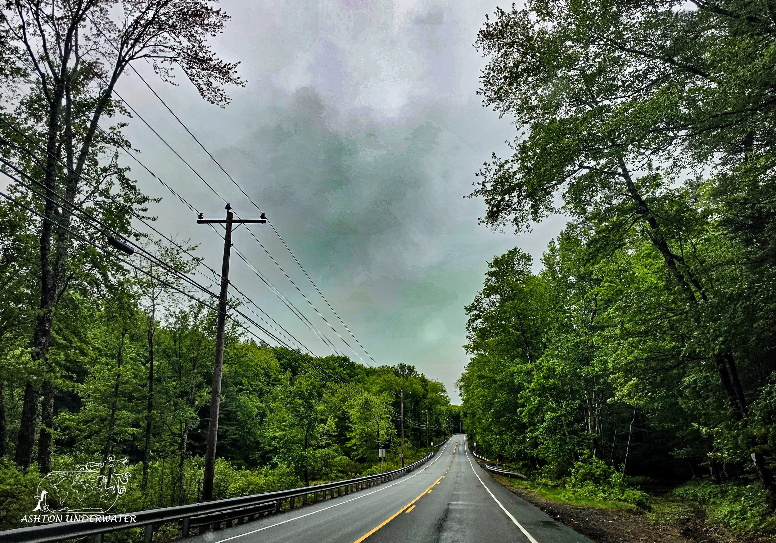
The drive to Connecticut was mostly uneventful. Some quick snaps of the Washington Monument and other memorials that could be seen from the car as we drove past. Dinner, then getting everything mostly prepped for the first dive of the trip; Mashapaug Pond inside of Bigelow Hollow State Park.
Mashapaug Pond, Bigelow Hollow State Park
Union, Connecticut
42.0072, -72.1302
25’ for 21 minutes & 20 minutes, 55°
May 25th
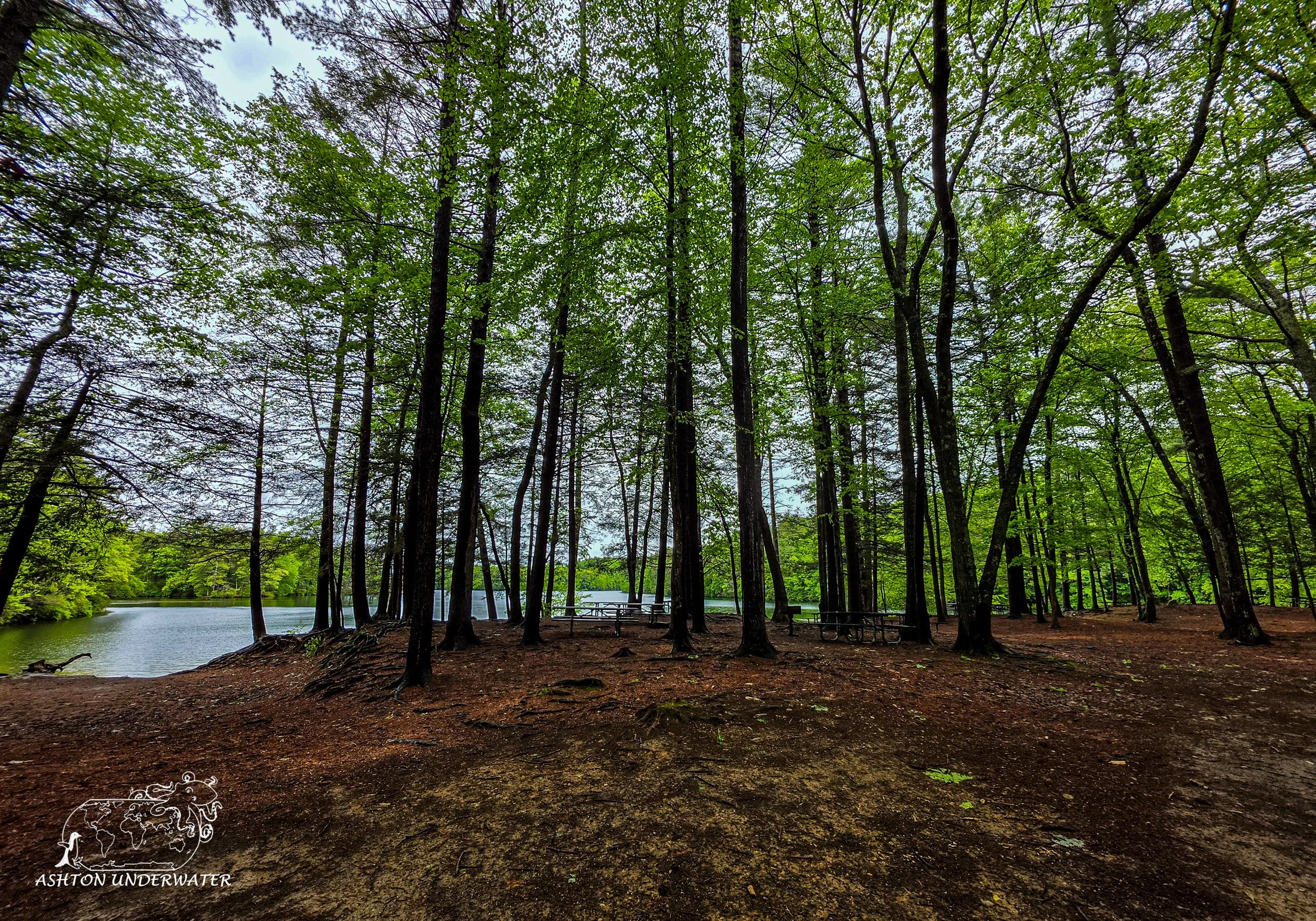
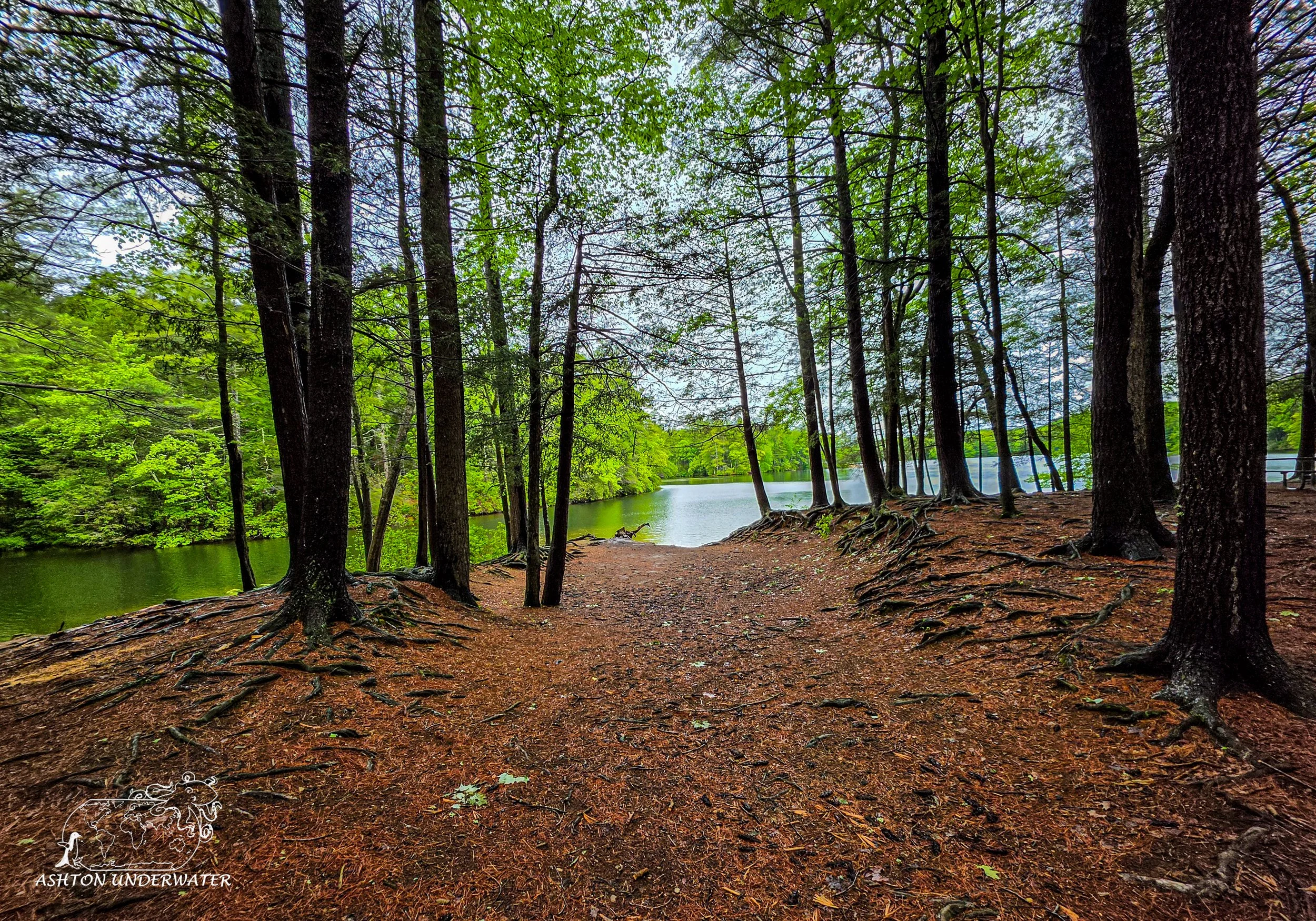
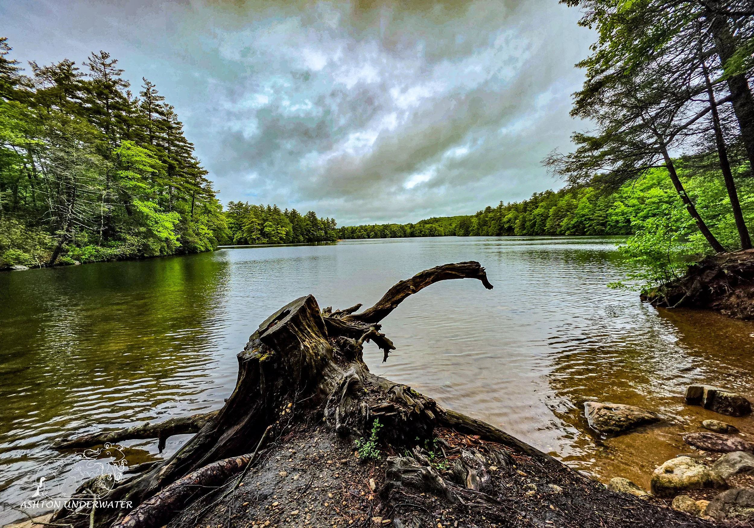
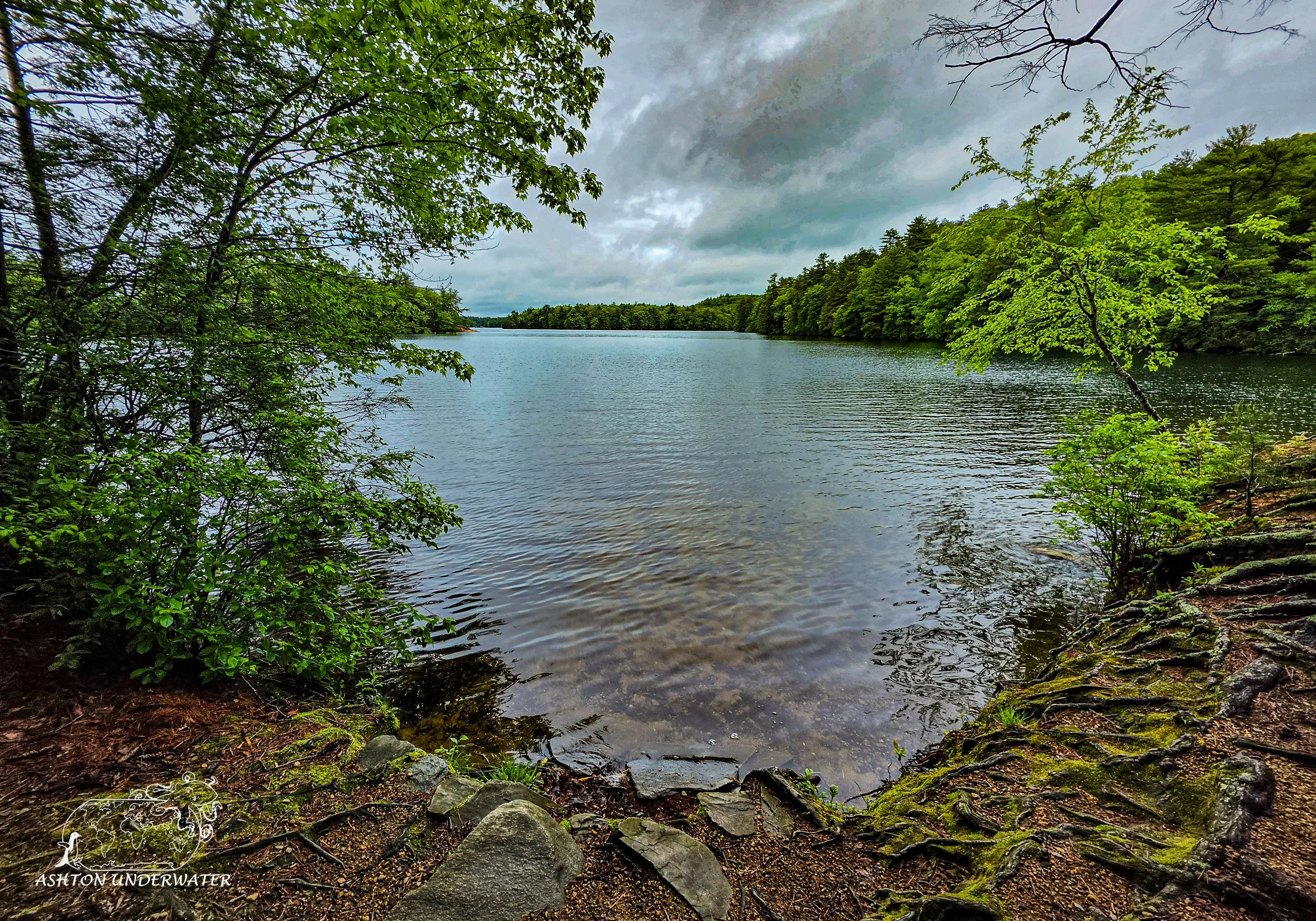
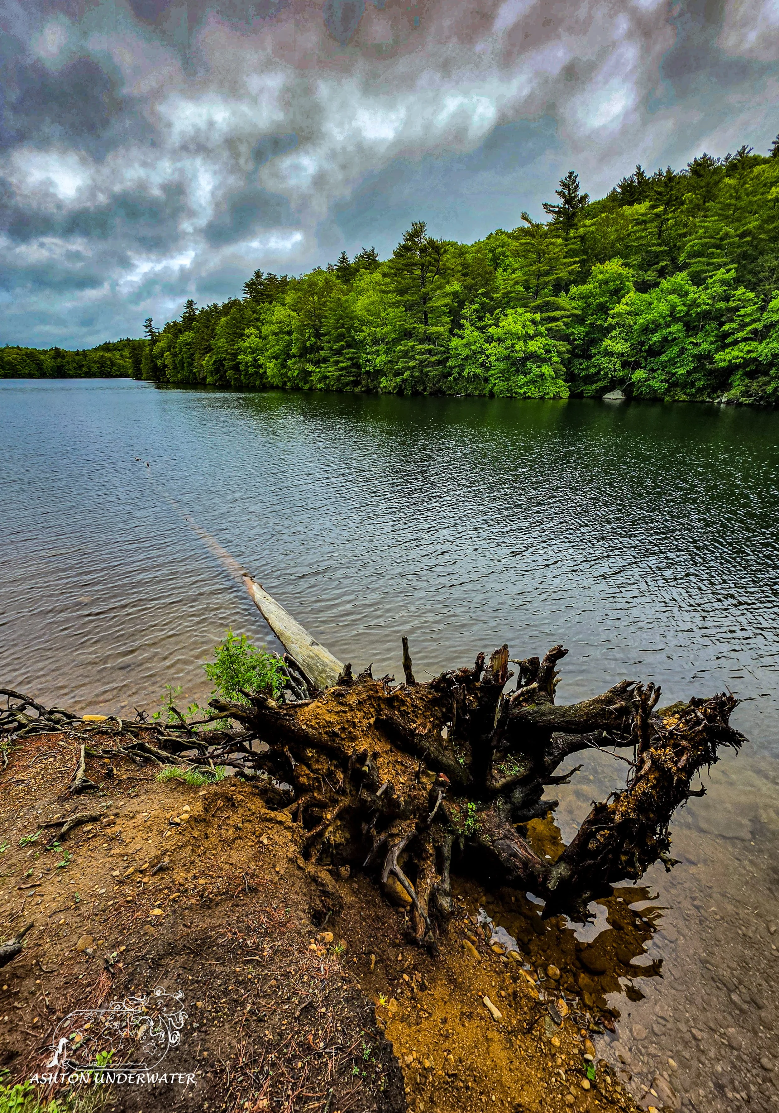
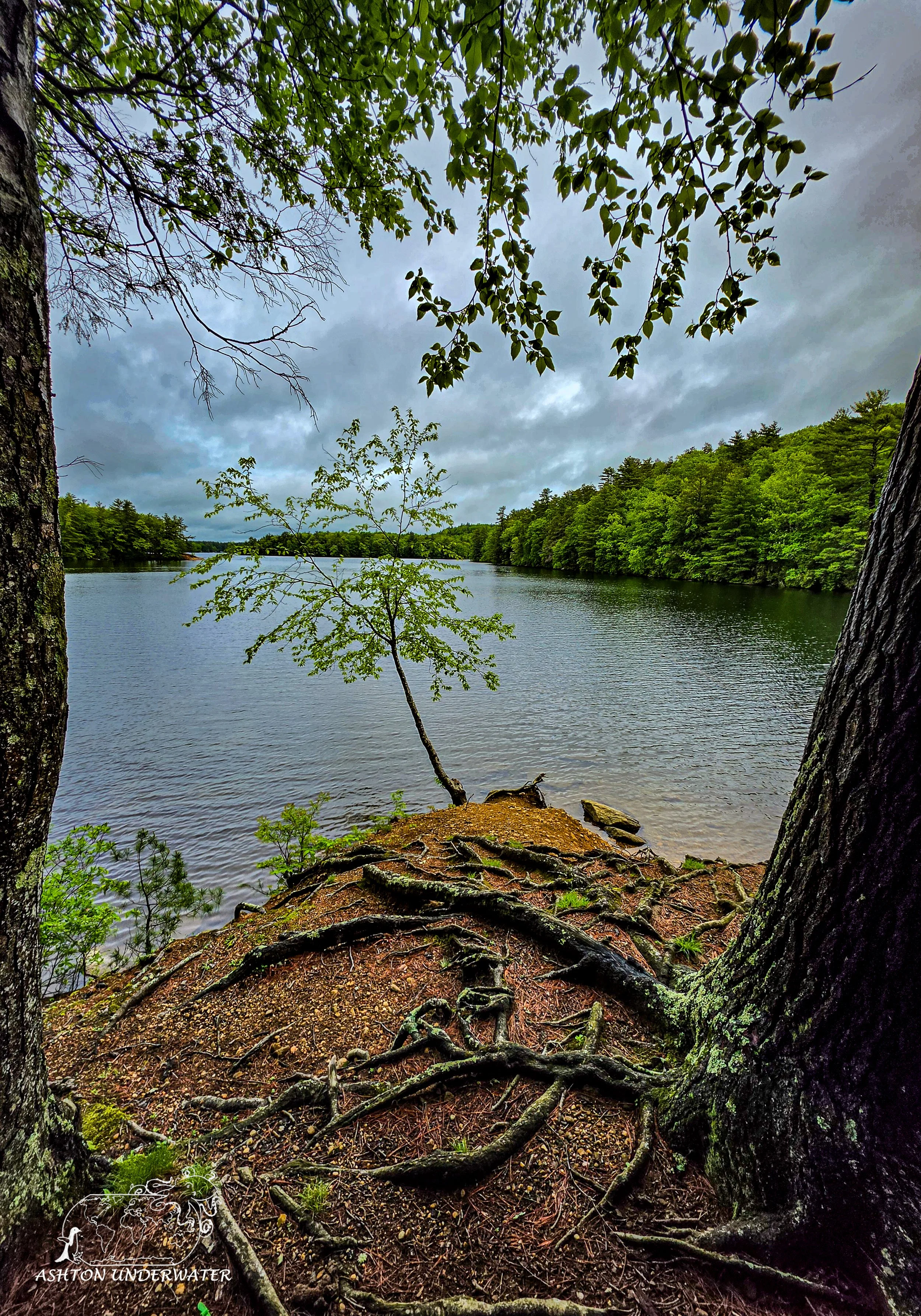
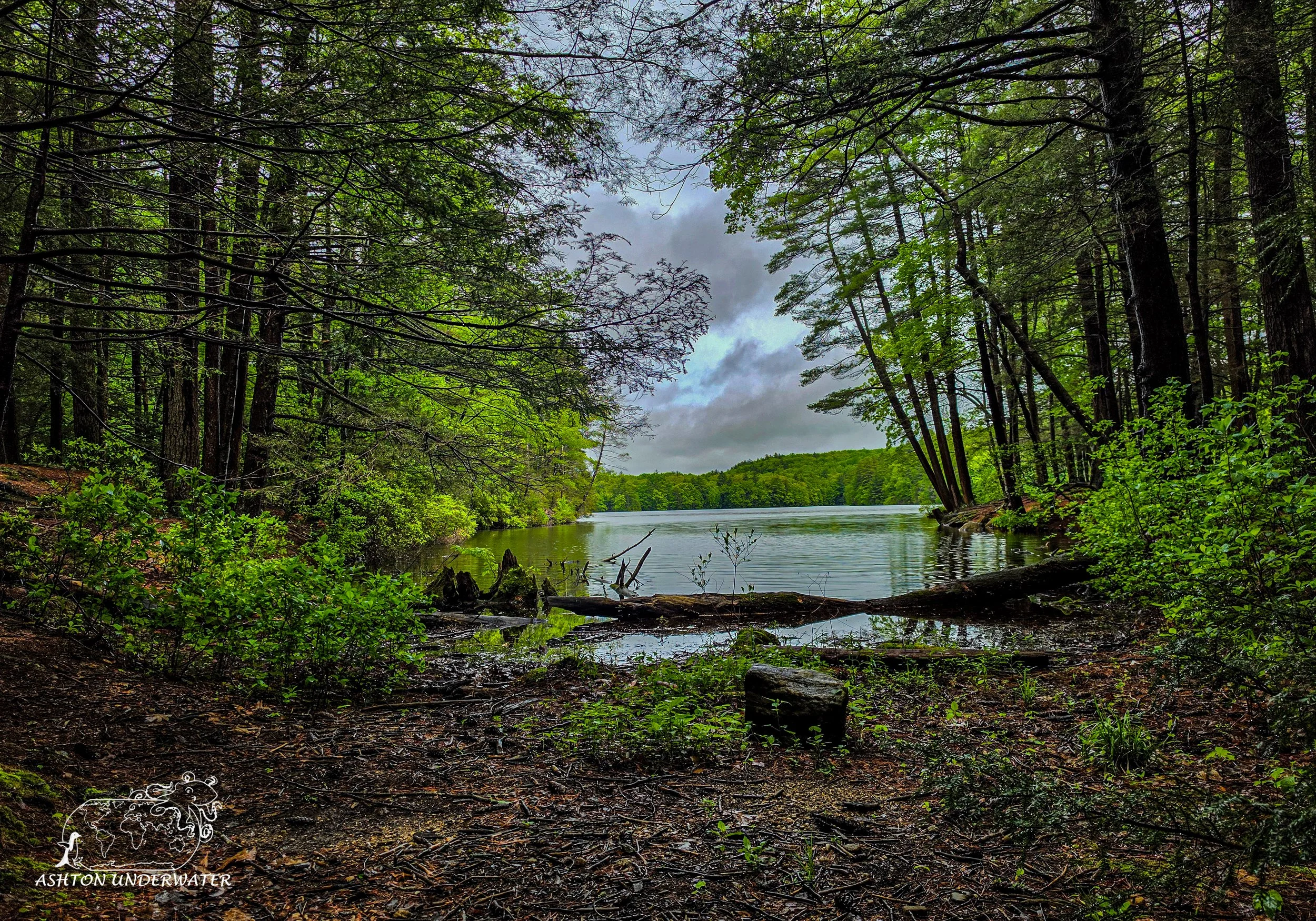
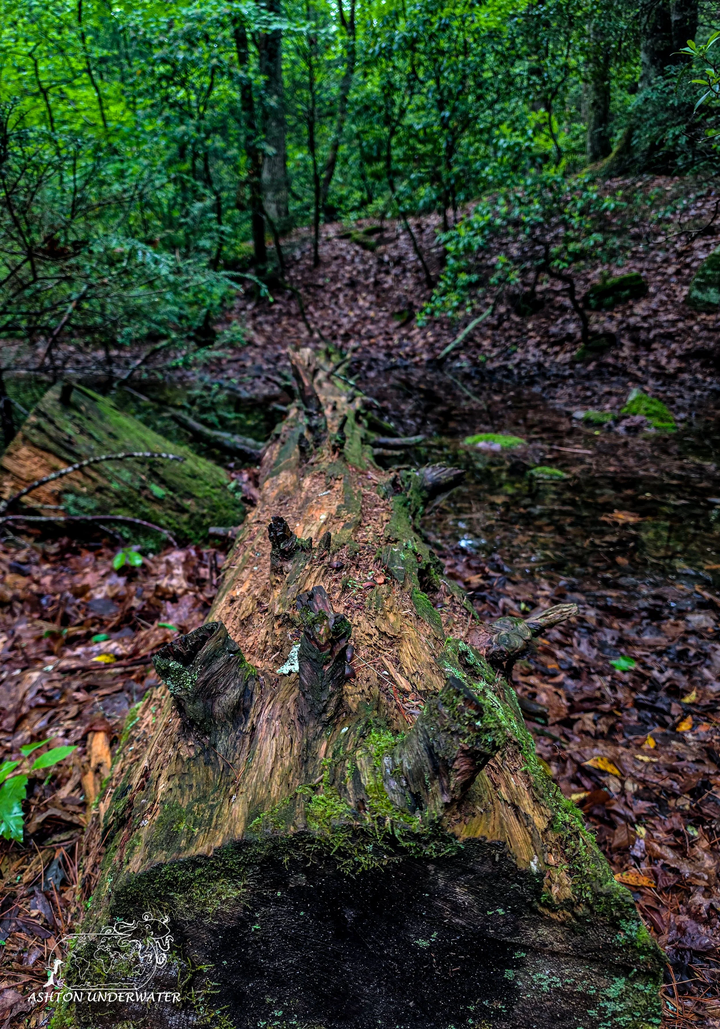
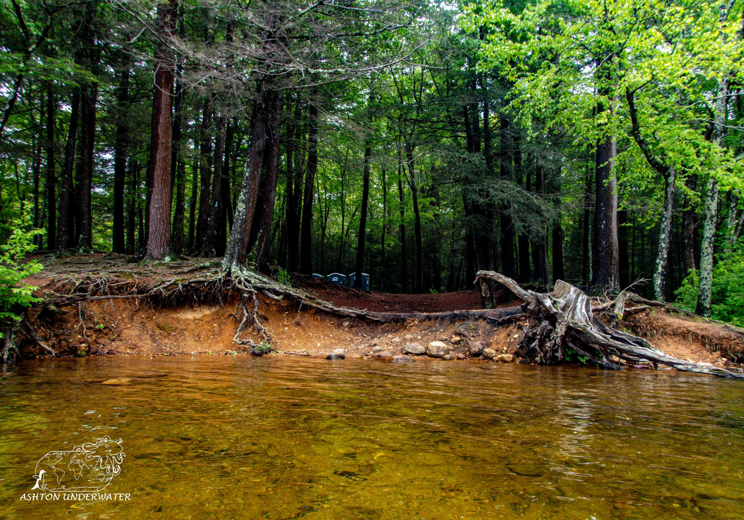
Mashapaug Pond is a large 287-acre pond located inside of Bigelow Hollow State Park. Entry into the park is $15 for vehicles with out of state plates. Technically, there are two bodies of water in the park, Bigelow Pond, and Mashapaug Pond. Bigelow Pond is nothing but mud and weeds and not deep enough to make it worth diving, so the only real option is to dive in Mashapaug. (At least that’s what we were told when we drove in.) Mashapaug is the Nipmuck Indian word for “Great Pond.”
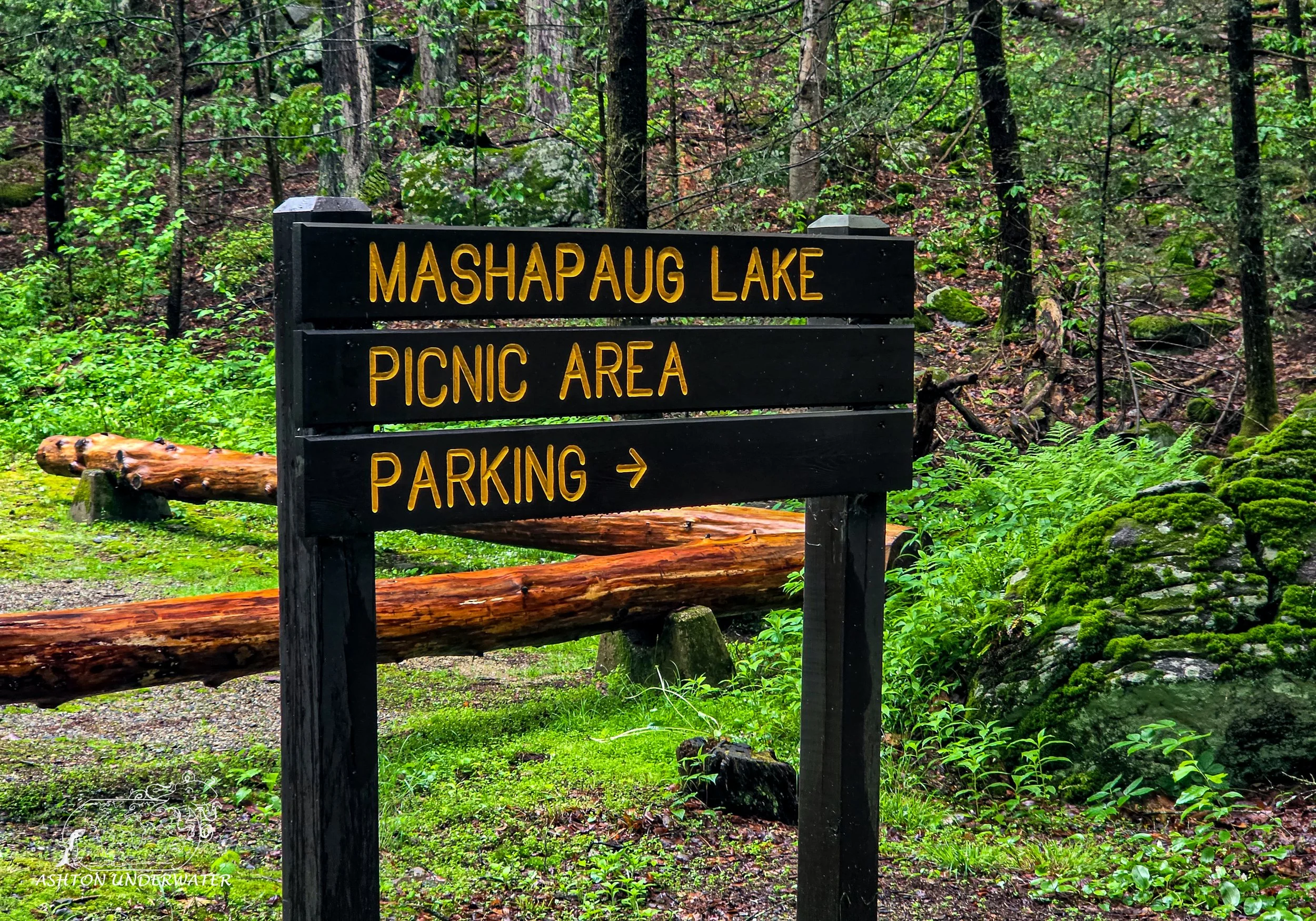
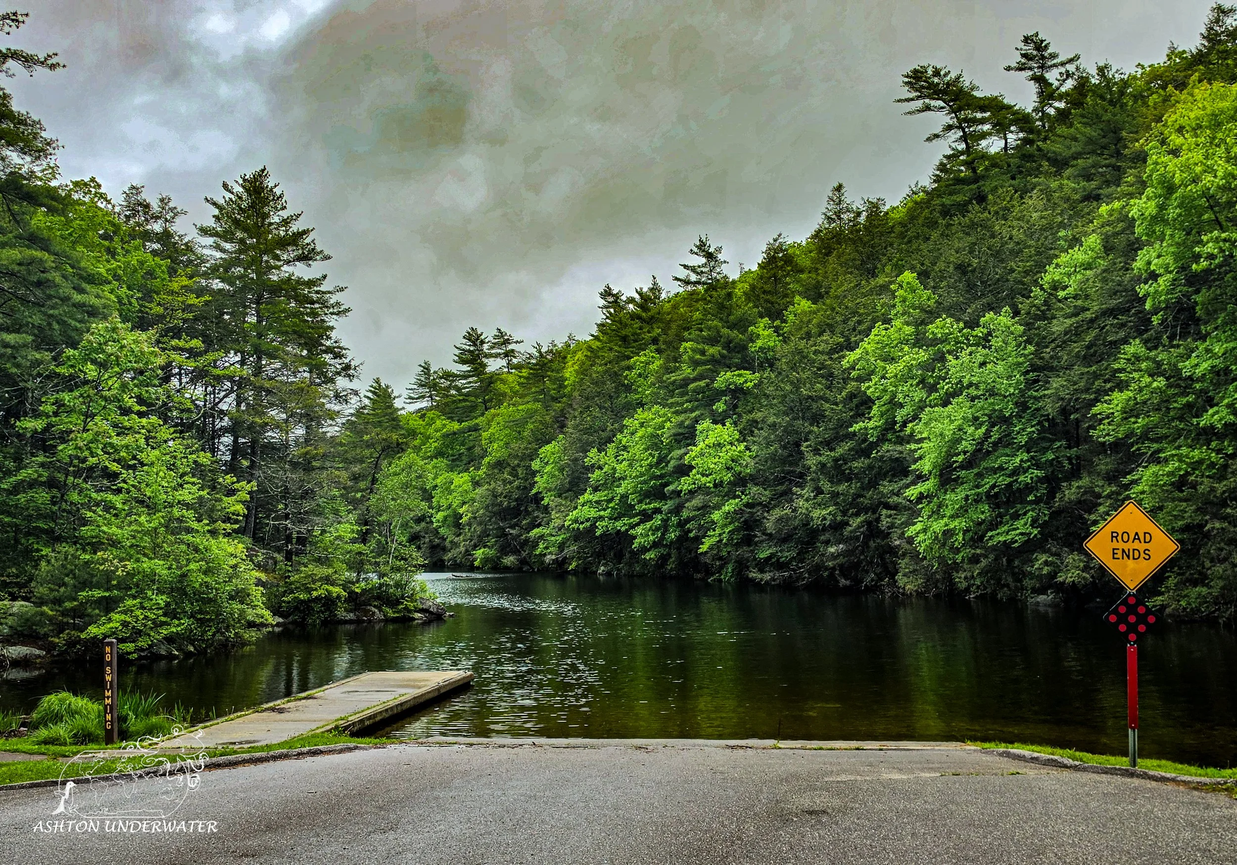
After checking in, follow the one road you’re on until you get to the end of the line and cannot drive further. There will be several signs for parking and for the pond. Drive past all of these until you get to the end and your only option is to drive into the water. Do not drive into the lake. There are a couple of porta potties, a welcome sign, and if the front gate is closed you can electronically pay for your parking and fill out a parking slip for your vehicle. There is no diving off the boat ramp next to the parking lot, so you get to schlep your gear into the woods.
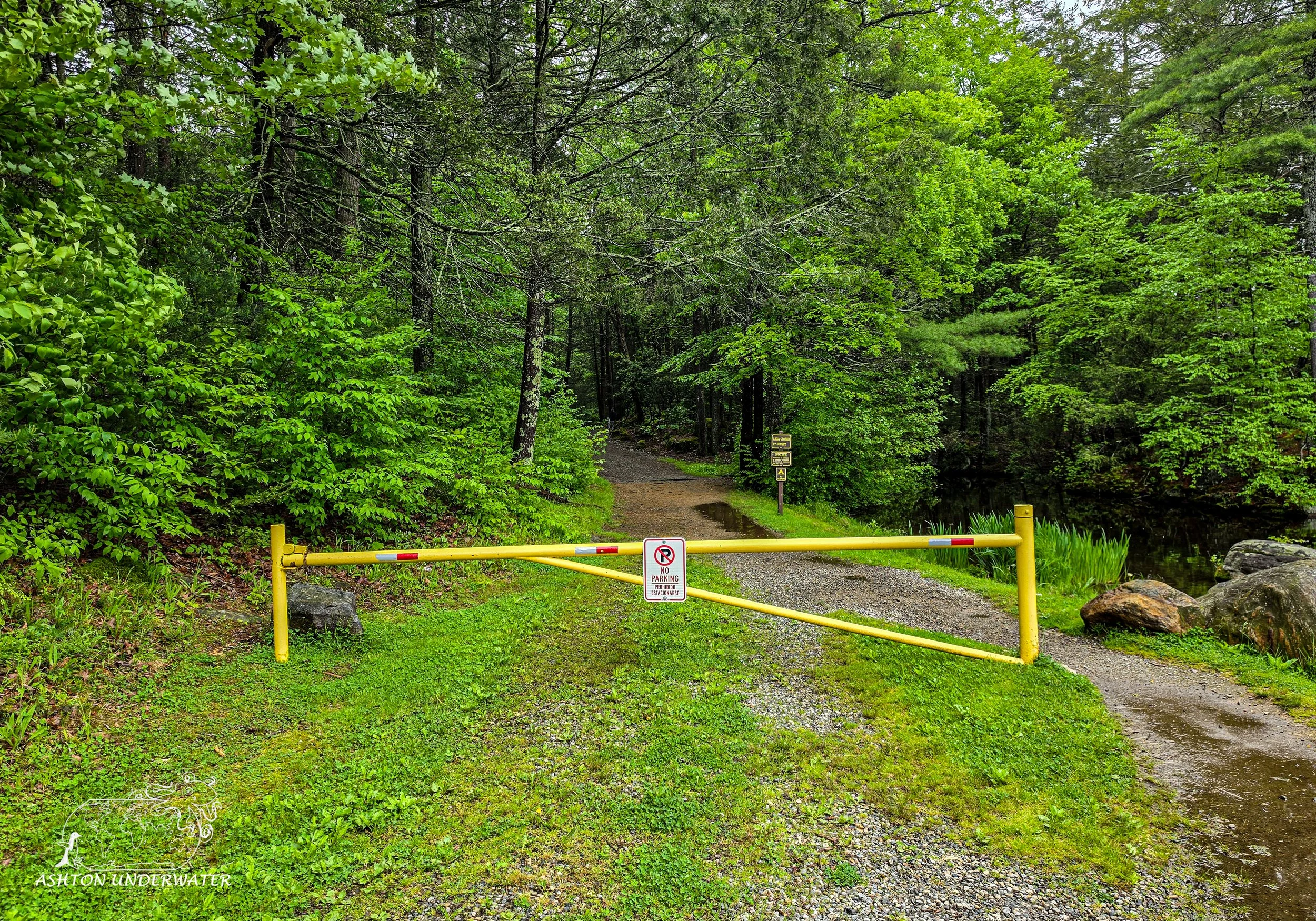
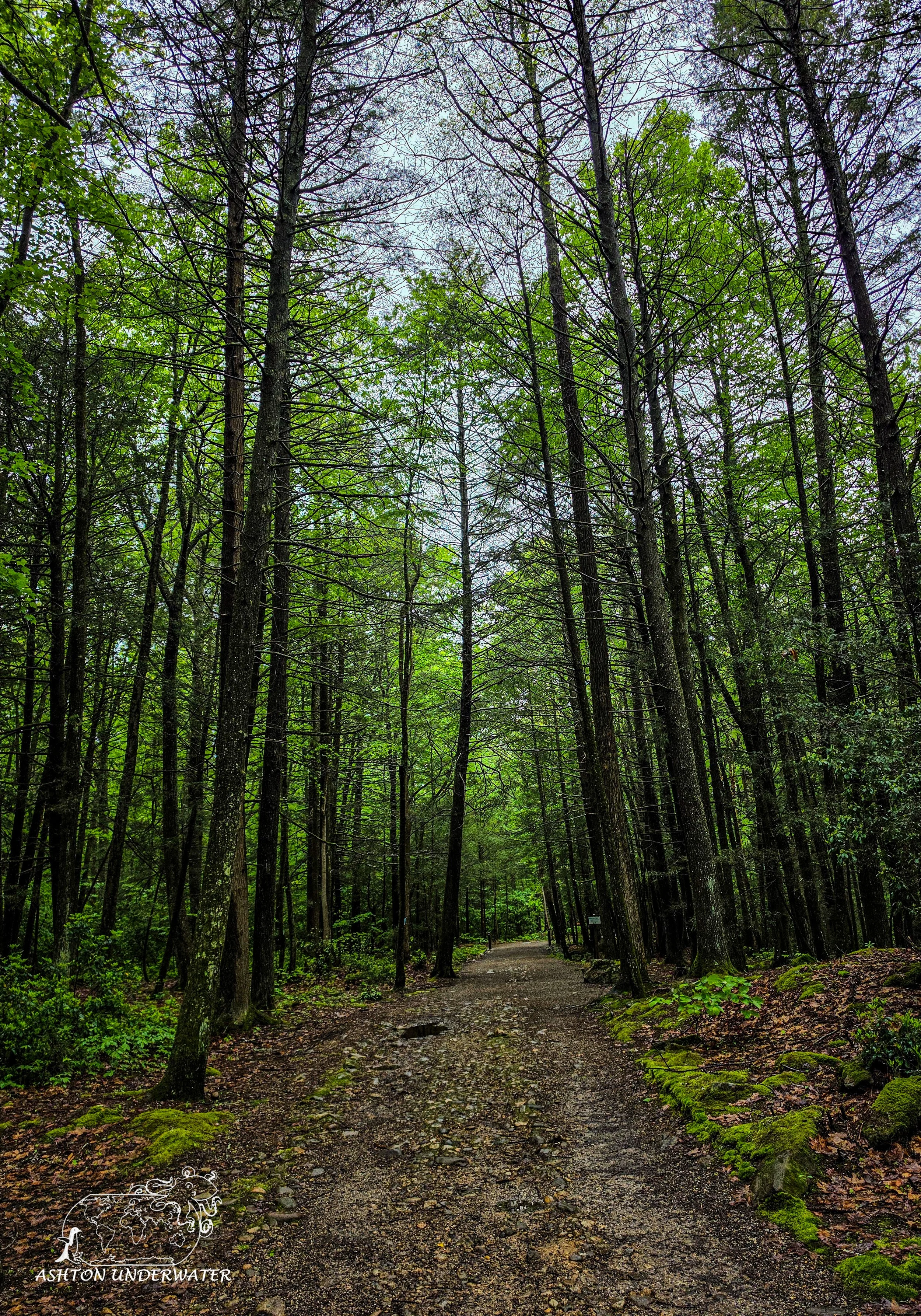
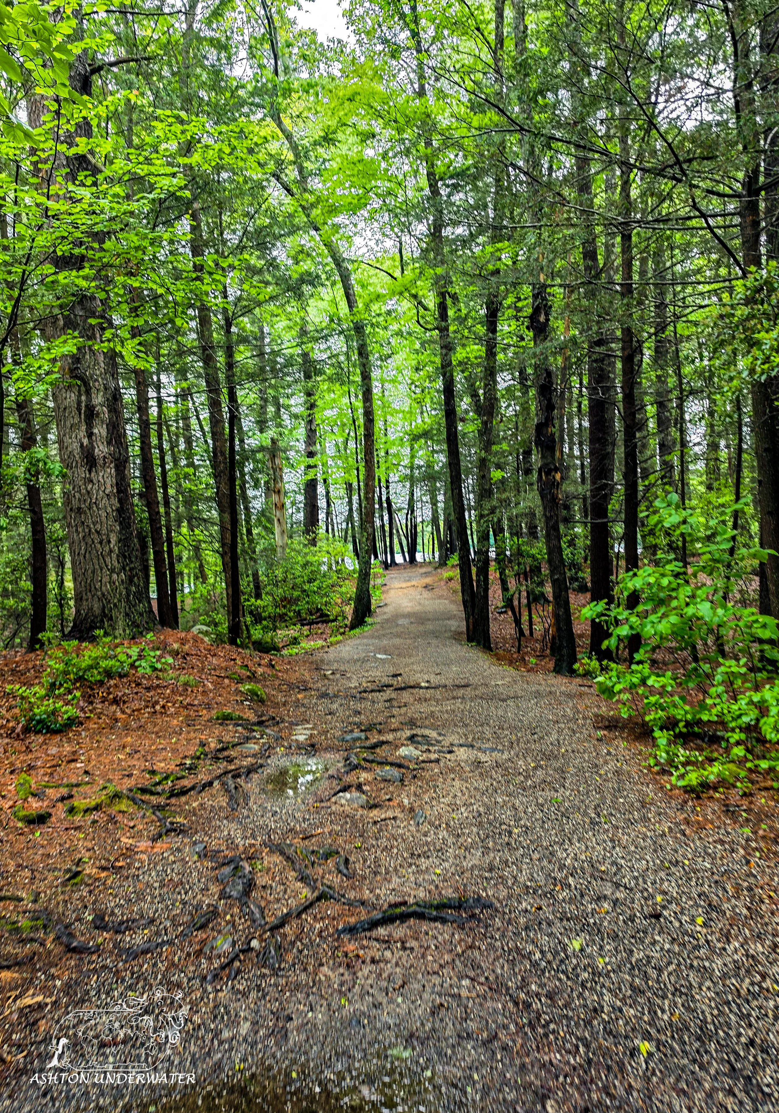
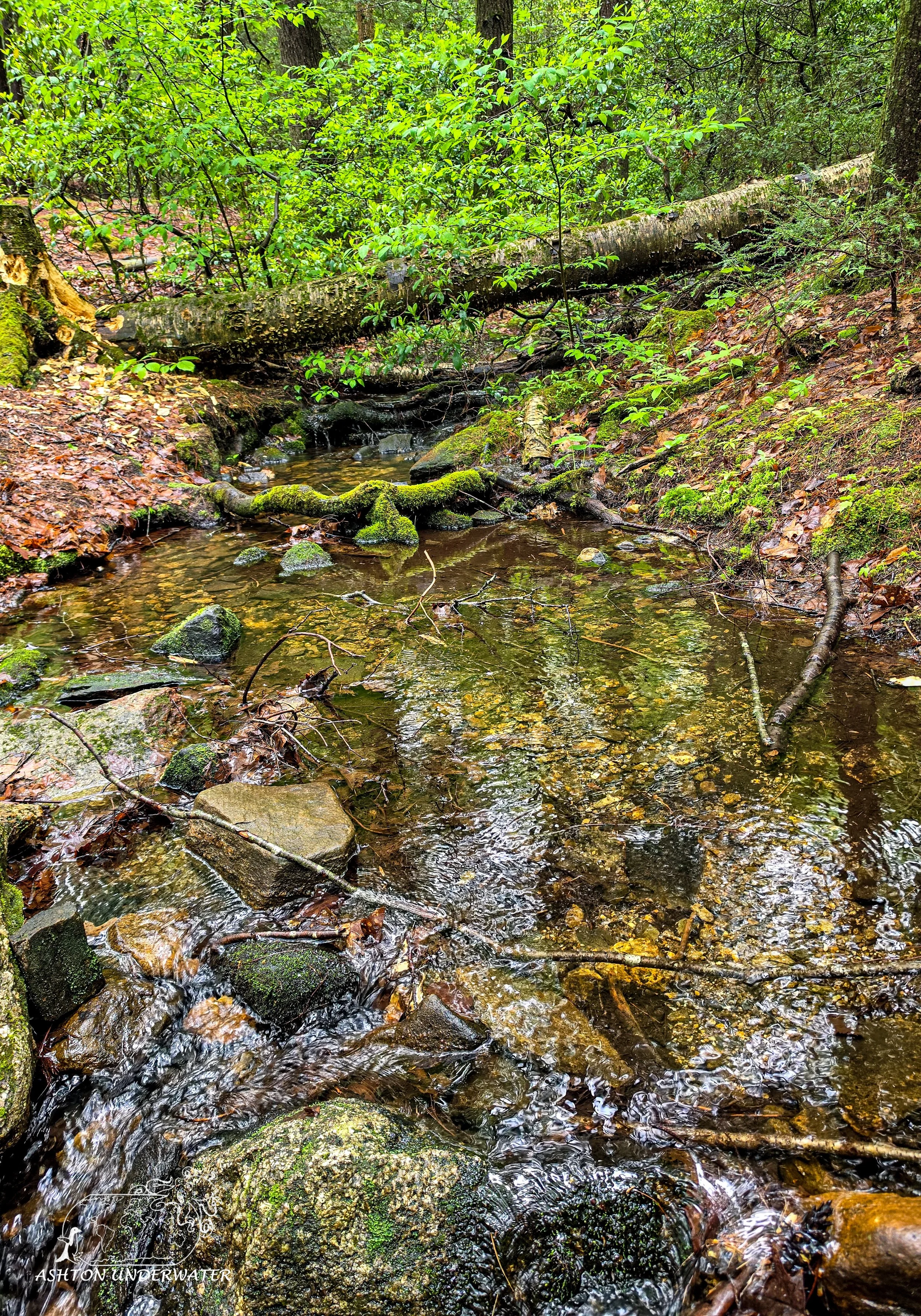
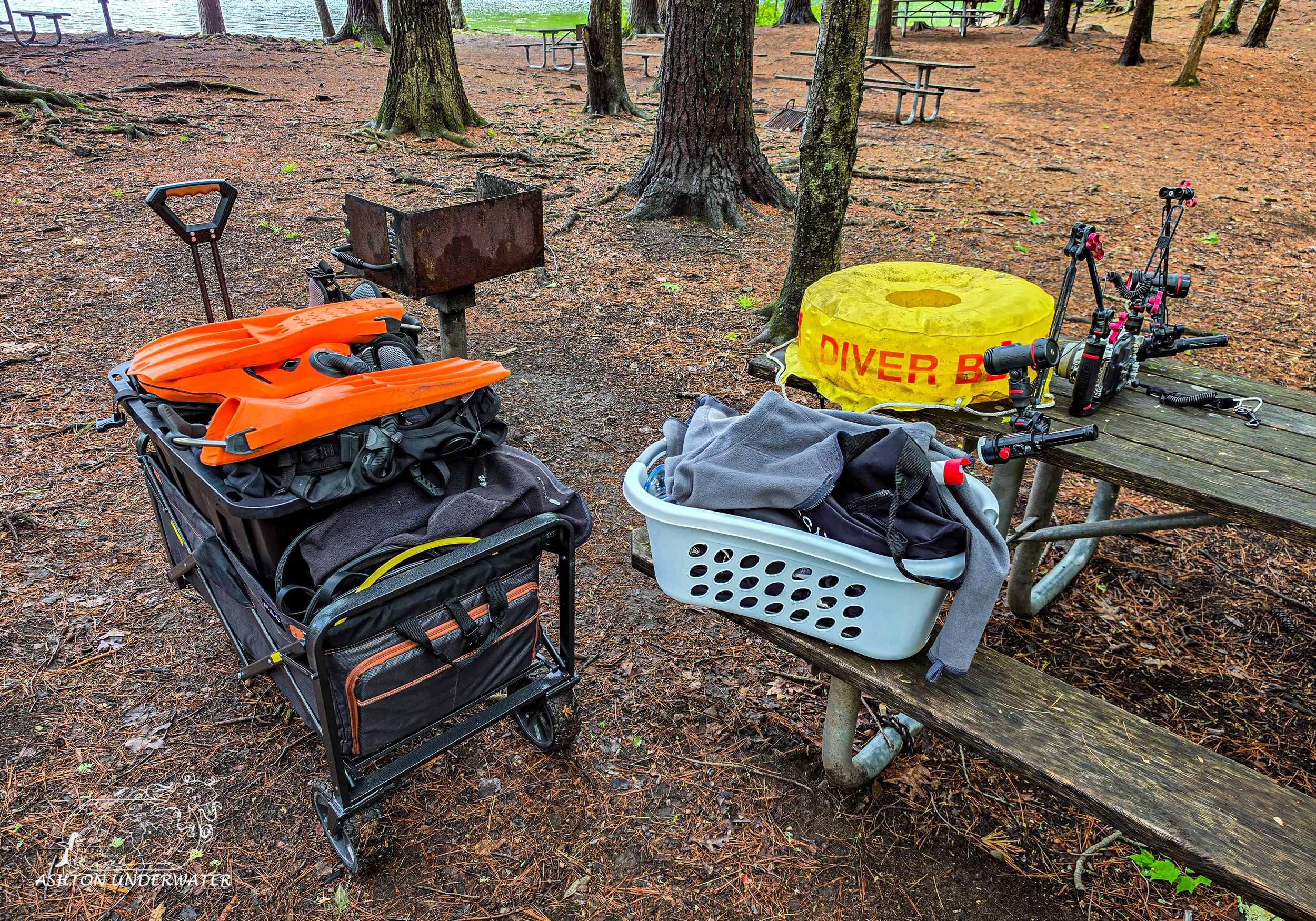
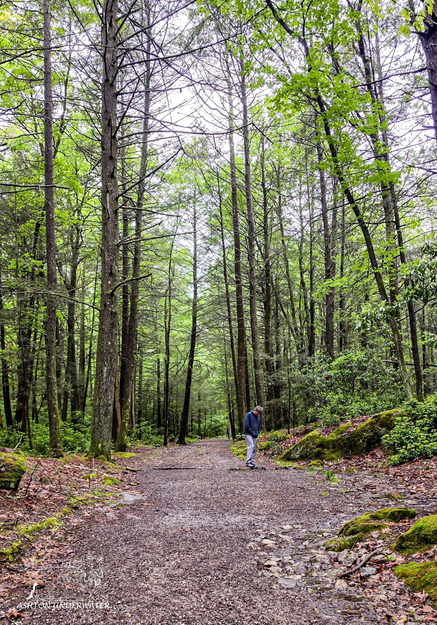
There will be a small yellow gate blocking a trail, follow it straight on for roughly 5-10 minutes through the forest until you get to a clearing next to the water. The ground is uneven so bring a cart to make schlepping the gear slightly easier. There are a couple of picnic tables and porta potties to assist with gearing up. Be mindful that it is in the middle of the forest, so mosquitos are plentiful. Bring bug spray. Lots of bug spray, and pray you don’t zip mosquitos into your drysuit.
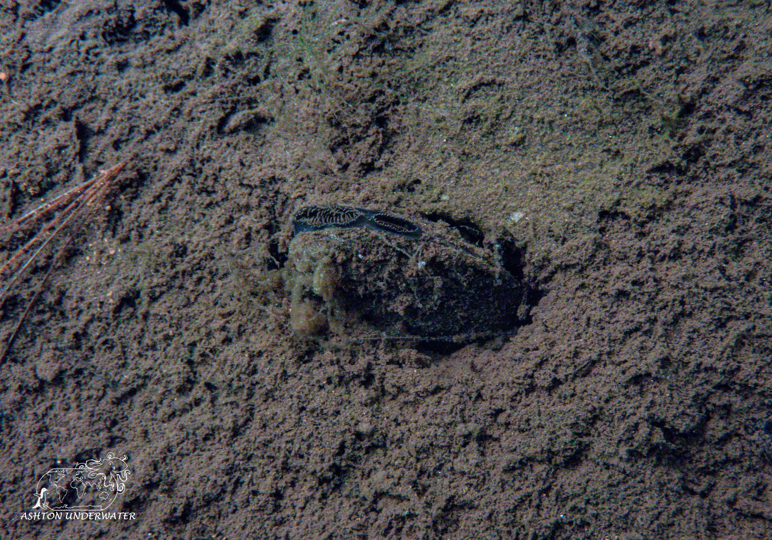
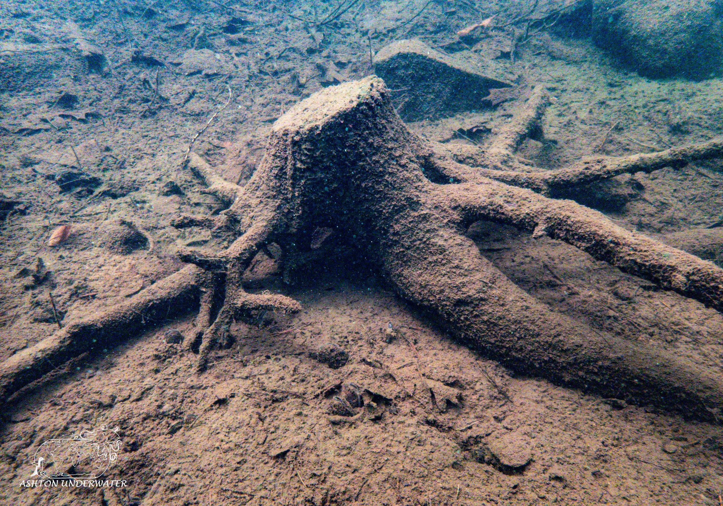
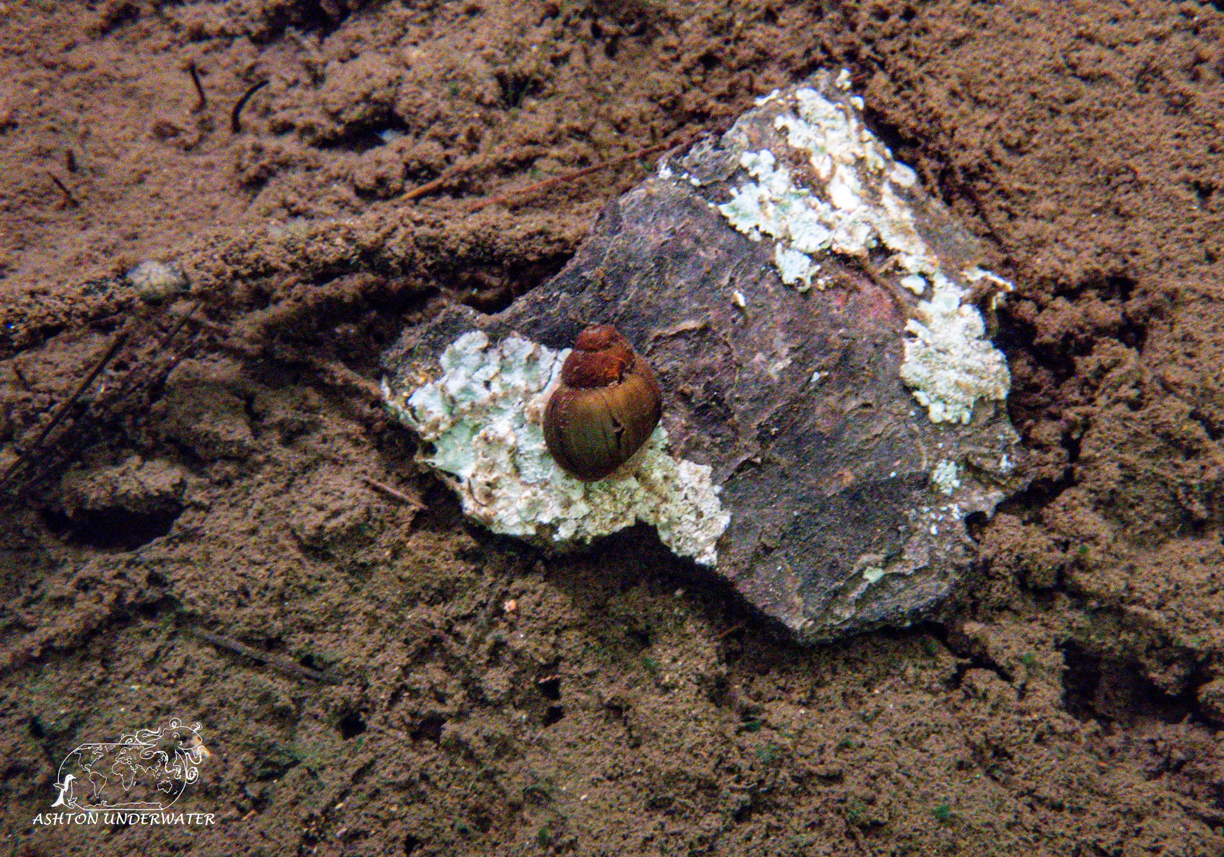
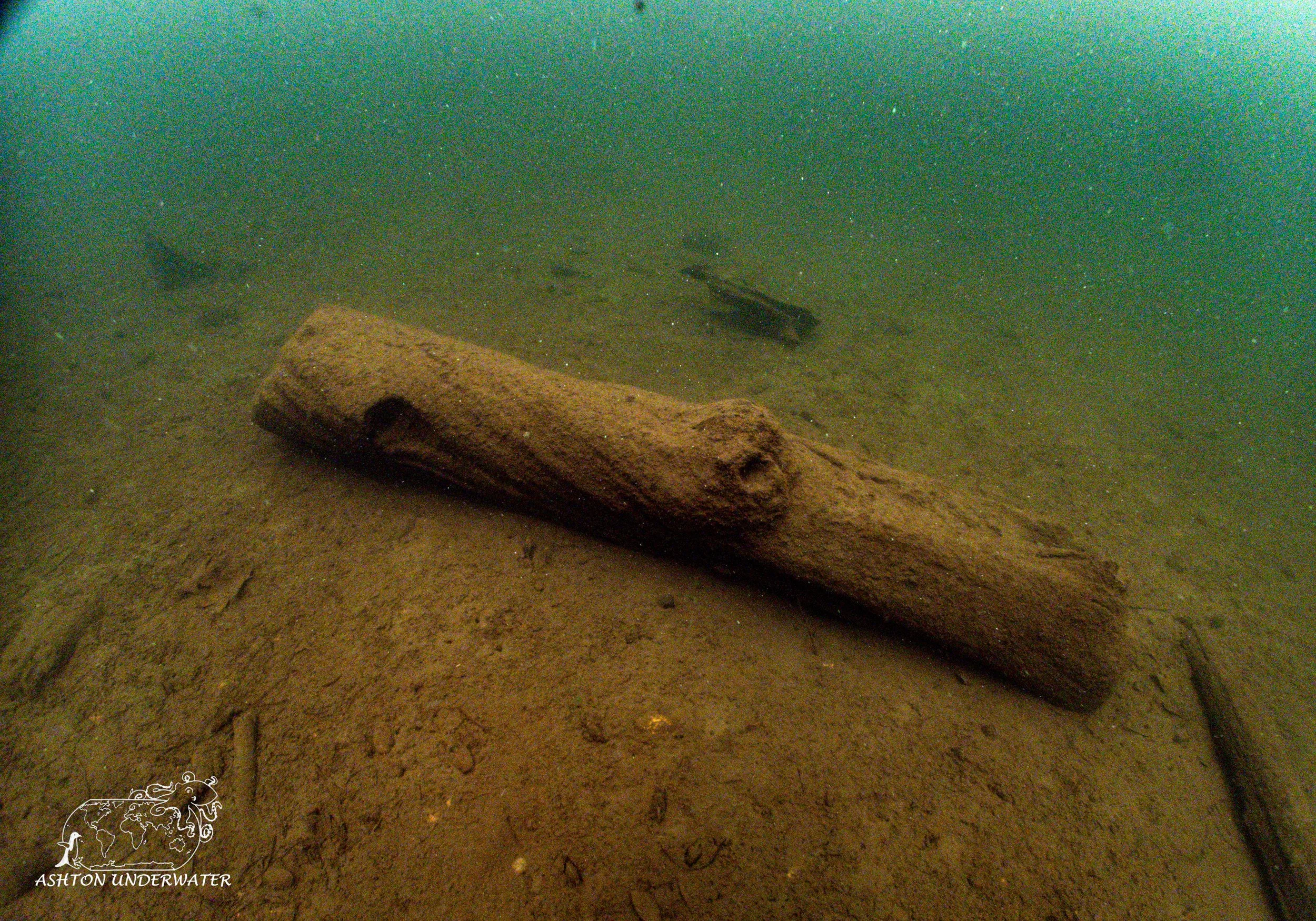
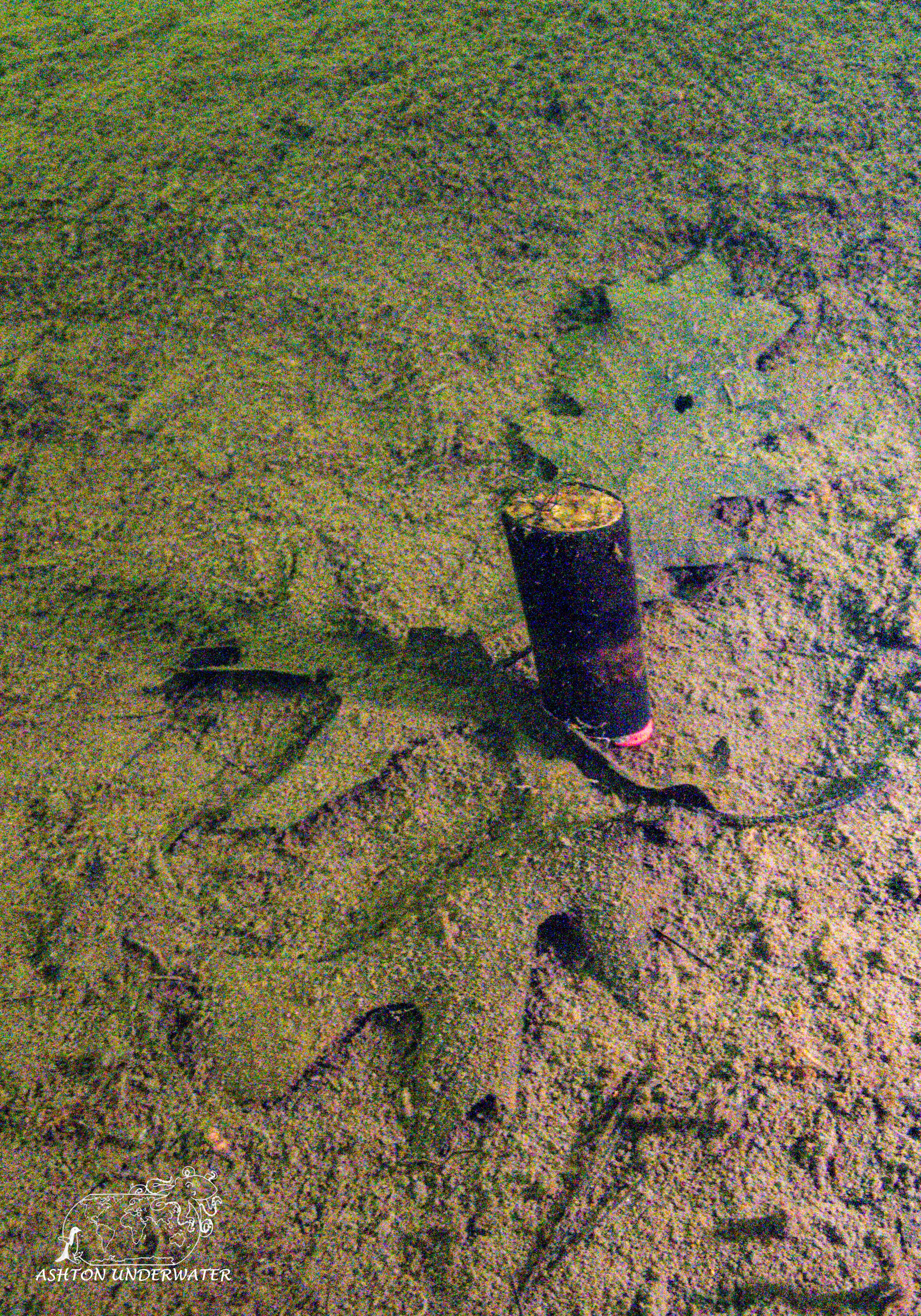
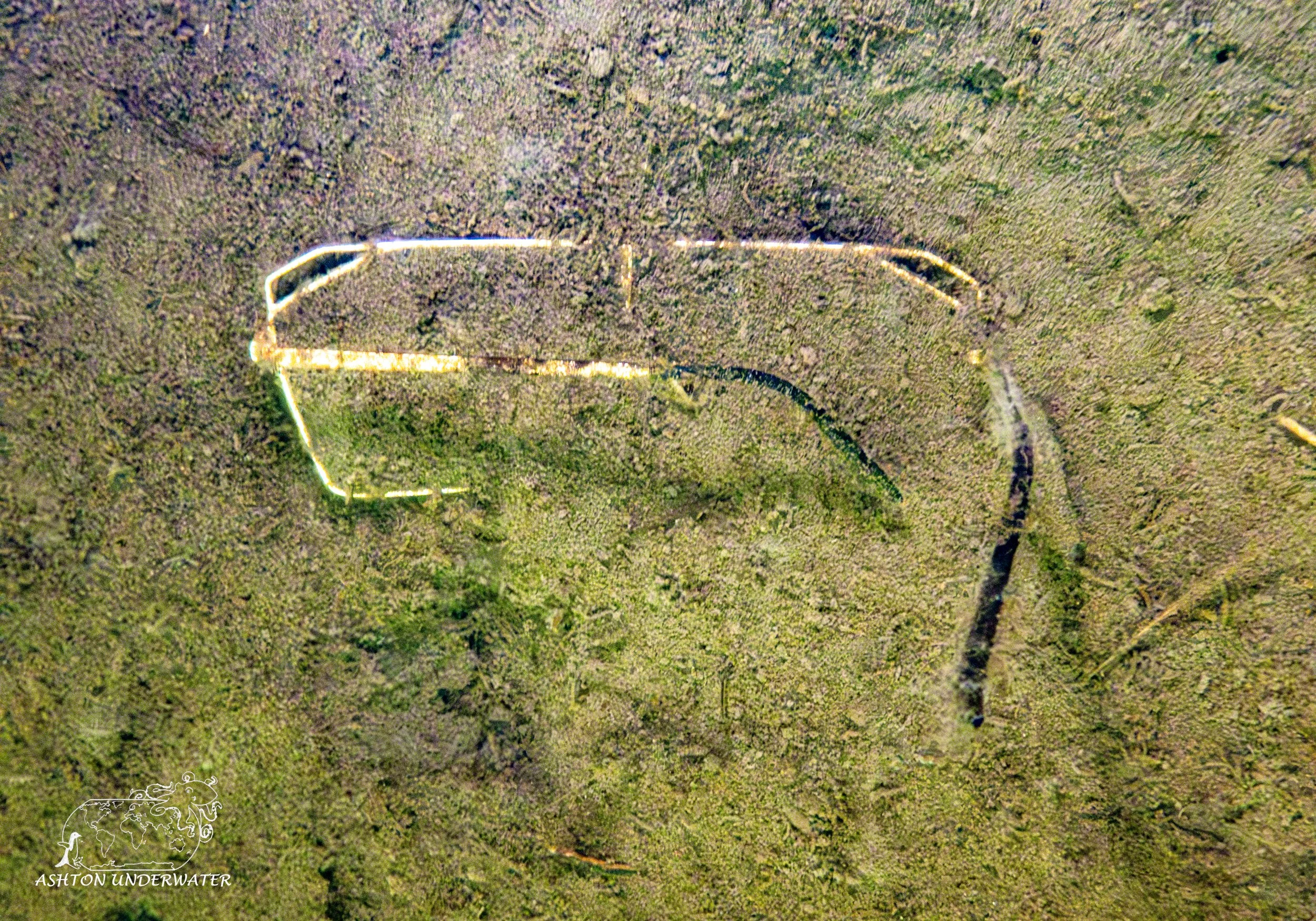
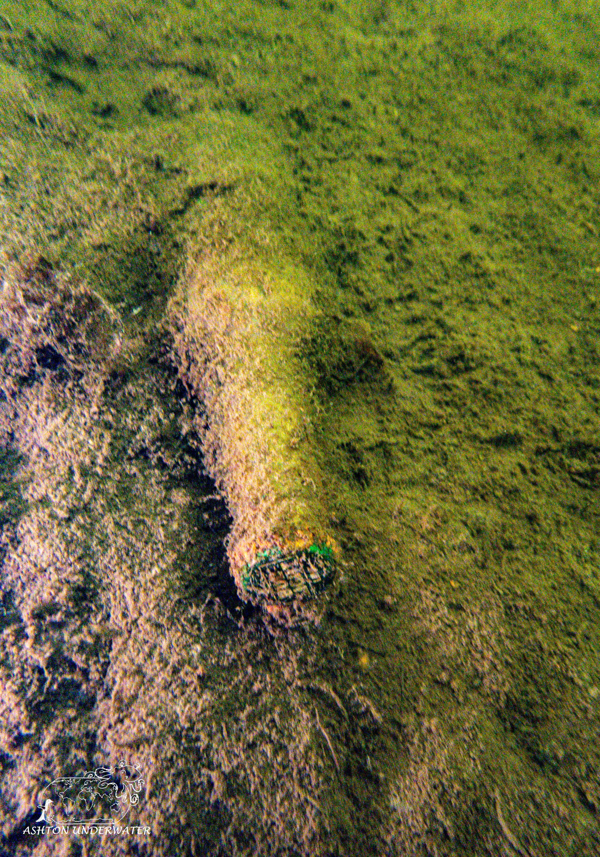
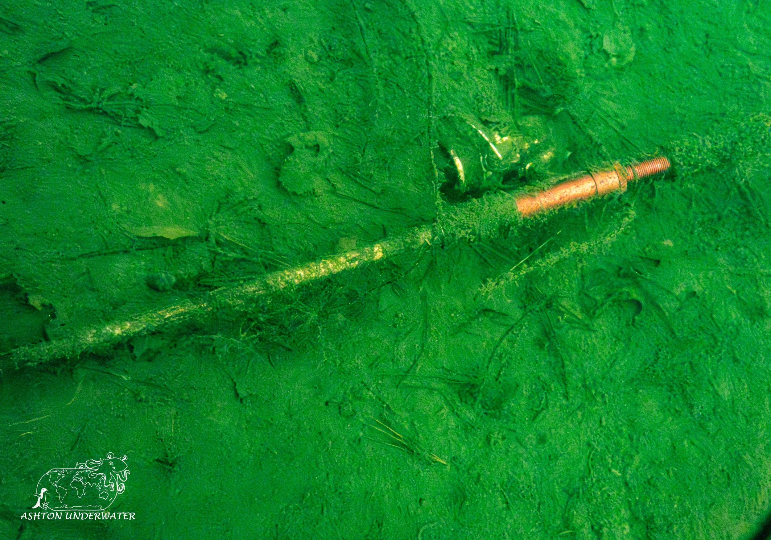
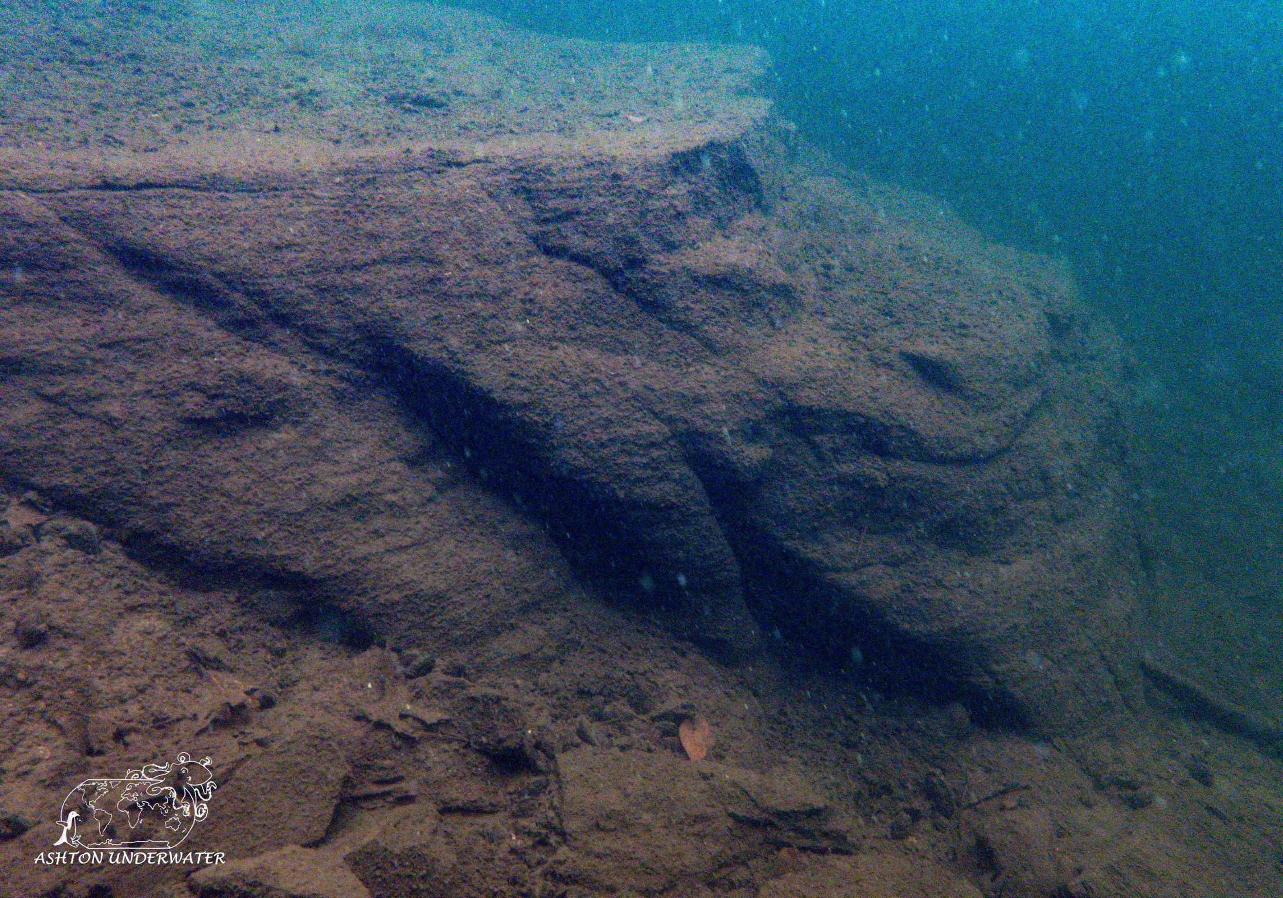
The dive itself was just fine; it is a mud, silt bottom so hitting the bottom can quickly turn it from poor visibility to next to nothing. Water temps were in the 50’s and because it was still early in the season fish life was not super active. A handful of small schooling fish in the shallows and a larger trout were evident but most of the dive was spent looking at beer bottles, cans, and other things that boaters have dropped while doing boat people things. Due to the presence of a boaters a dive flag must be towed during the entire dive. The park has no rentals, air fills or anything to help support your dive, so be prepared.
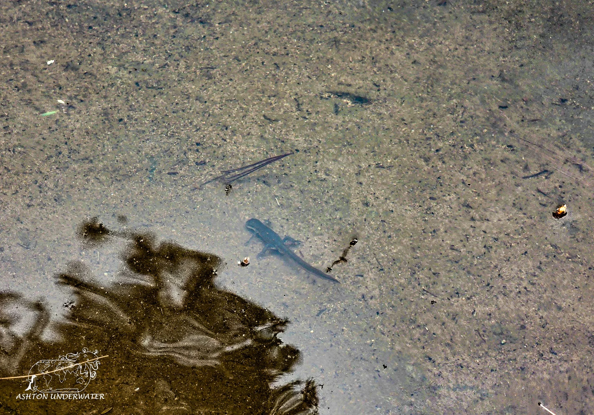
A cool thing about this site is the presence ofred-spotted newt (Notophthalmus viridescens) that can be spotted in the shallows near the shore. The bright orange juveniles live on the forest floor until they mature where they will darken and move into the water to live in the weeds.
Other than the presence of newts, the dive itself wasn’t very interesting. The surrounding trails and forest were a very nice spot to spend an afternoon hiking and exploring. One of the rangers commented that the water on the further side of the pond was significantly colder than what we experienced. This could be due to the pond being spring fed and lack of currents. Or he just was cold and didn’t have a computer to accurately gauge the water temps.
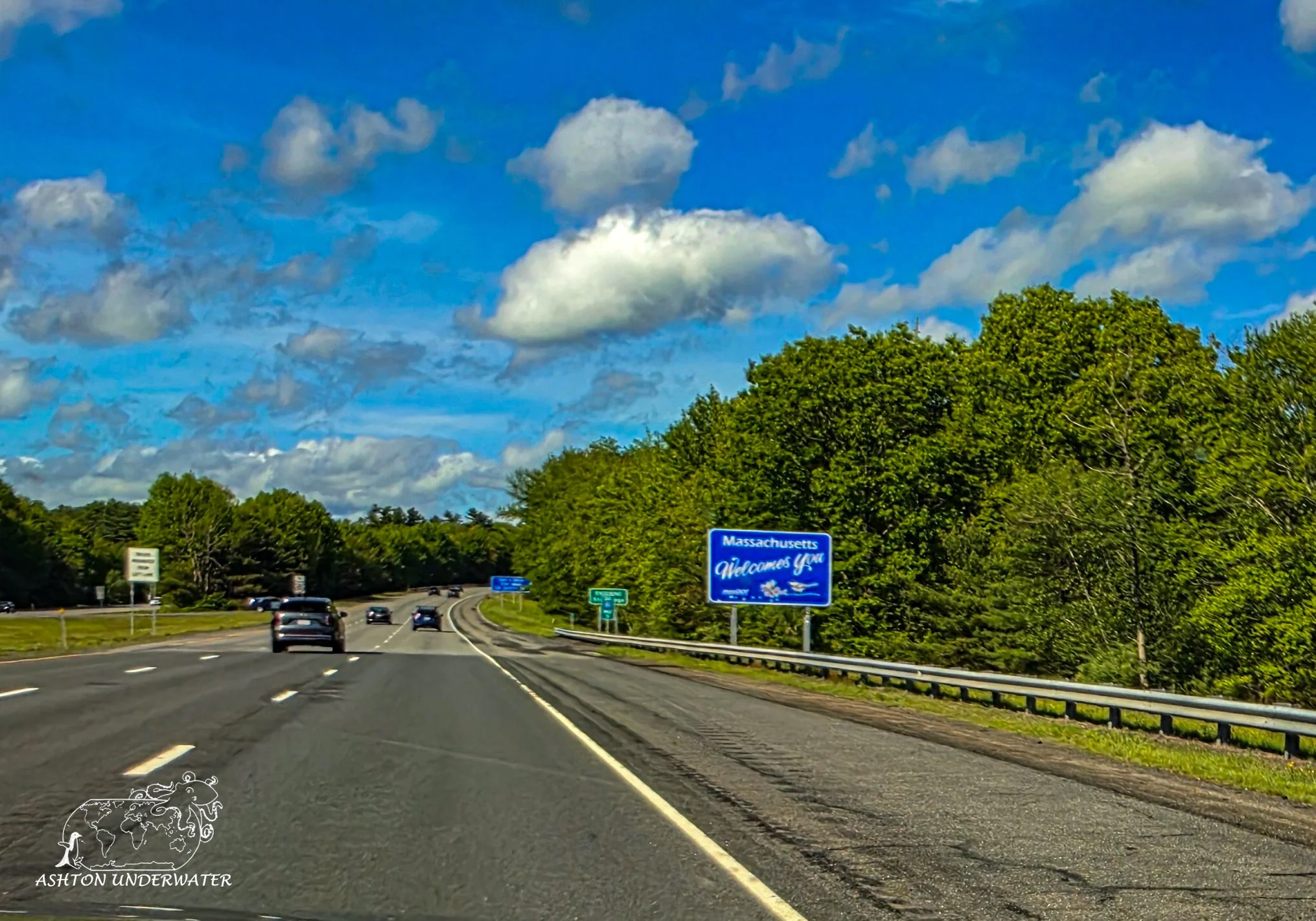
After the dive we packed up and hit the road again, driving up to Massachusetts to do some work, sleep and get ready for the next day of diving.
Leg Three: Connecticut to Rhode Island
Worked in the morning from the hotel and then went adventuring off on the road. We had a slow drive back up the hook of Massachusetts, stopping by Woods Hole to walk around the NOAA center. Unfortunately, the aquarium was closed, so we mostly took a break to stretch our legs then got back in the car to drive up and explore Provincetown for the evening. It’s off season so most of the shops and activities were closed by the time we got there but was nice to explore and check it out. Another trip for another visit.
On our way to the dive site the next morning we swung by East Bay Dive Center to get some last-minute additions to hopefully make our dive a bit more comfortable. Then made our way over to Fort Wetherill, our second dive site.
Fort Wetherill
Jamestown, Rhode Island
41.4792, -71.3610
29’ for 35 minutes, 55°
May 26th
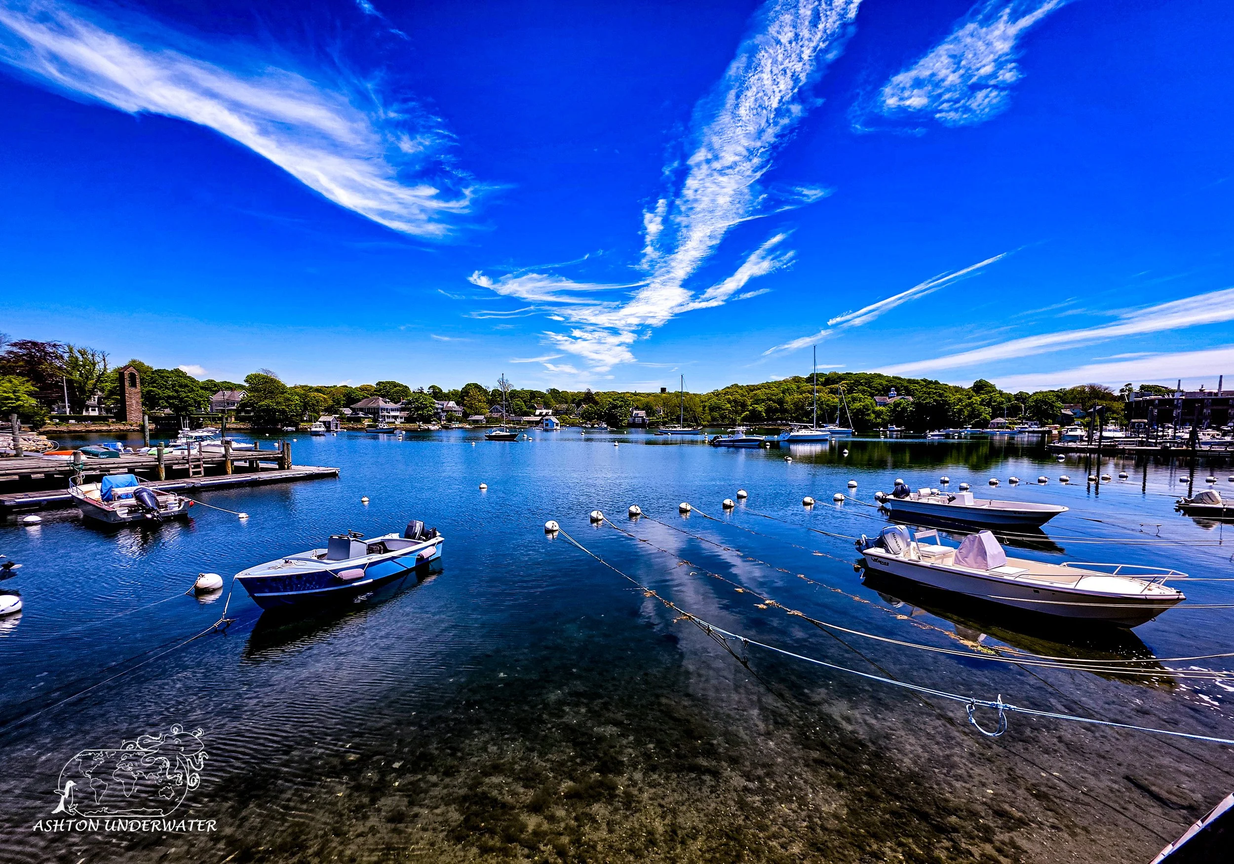
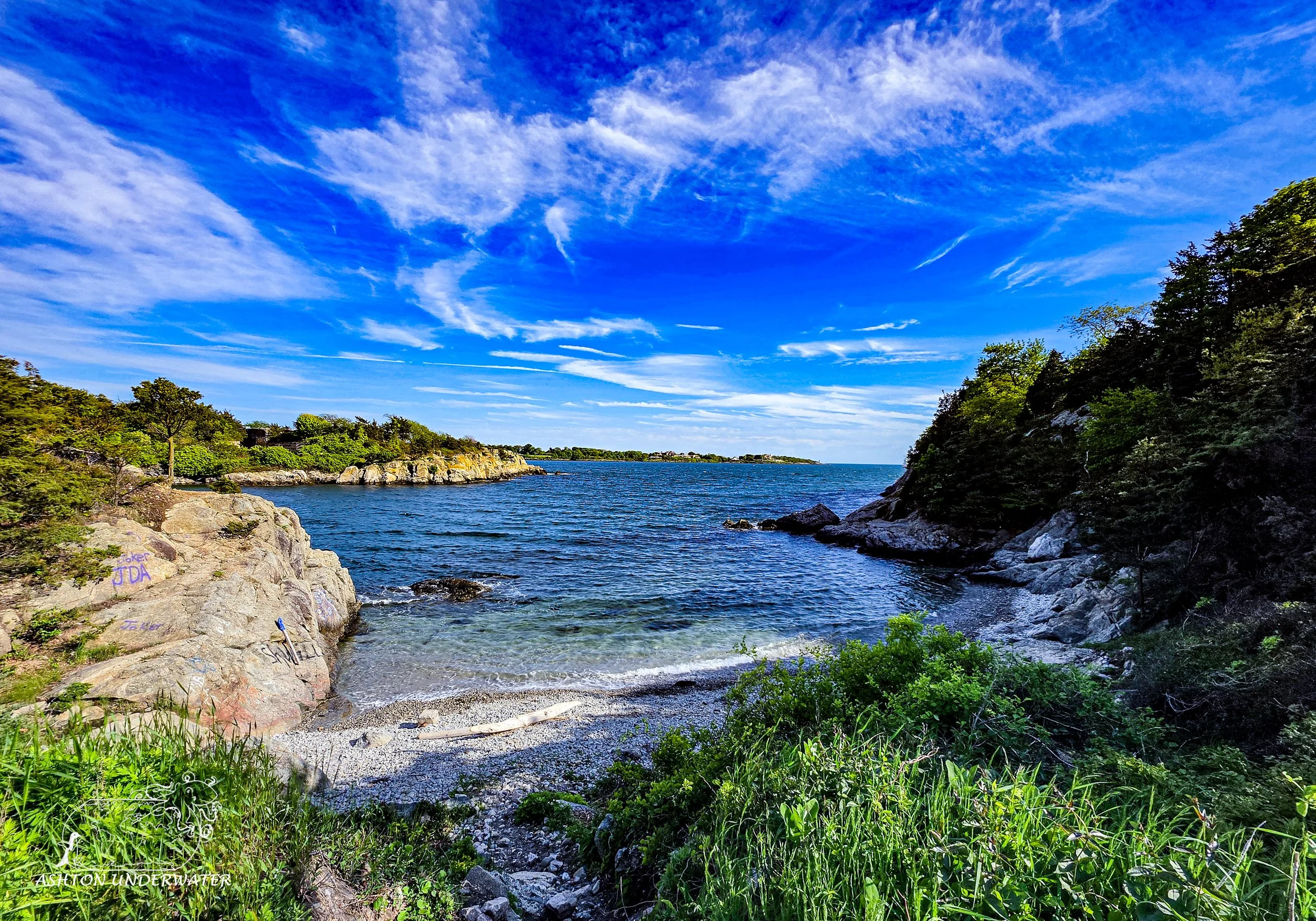
Fort Wetherill was a coastal fortification that was expanded from 1895 through 1903 to help strengthen the harbor defenses and protect the Narragansett Bay and nearby naval installations. These became less relevant as military technology and defense strategies changed with time. It is now a state park with hiking around the ruins of the old fort.
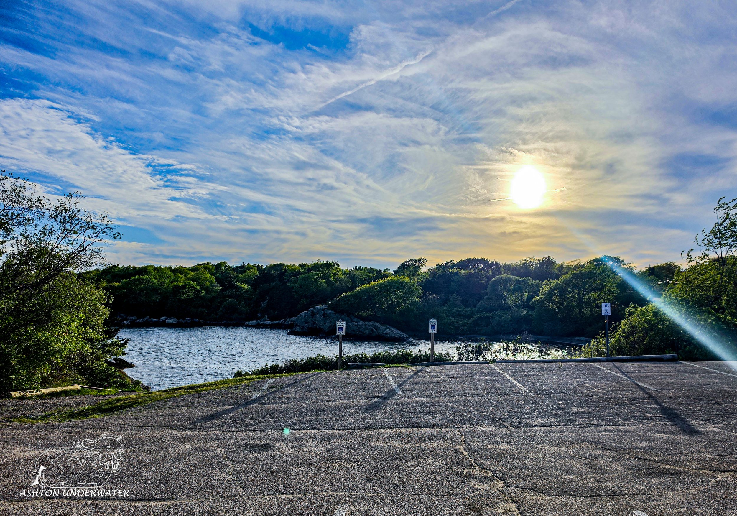
The park has a handful of porta potties, but not much else in terms of amenities for the dive. There are two double sided benches that were put up in the last few years by a local Boy Scout troop to help with staging before entering the water. Like most coastal dive sites in the Northeast, a dive flag is required. Temps were chillier in the 50’s again with visibility being at best in some spots 10’ and a good amount of surge back and forth.
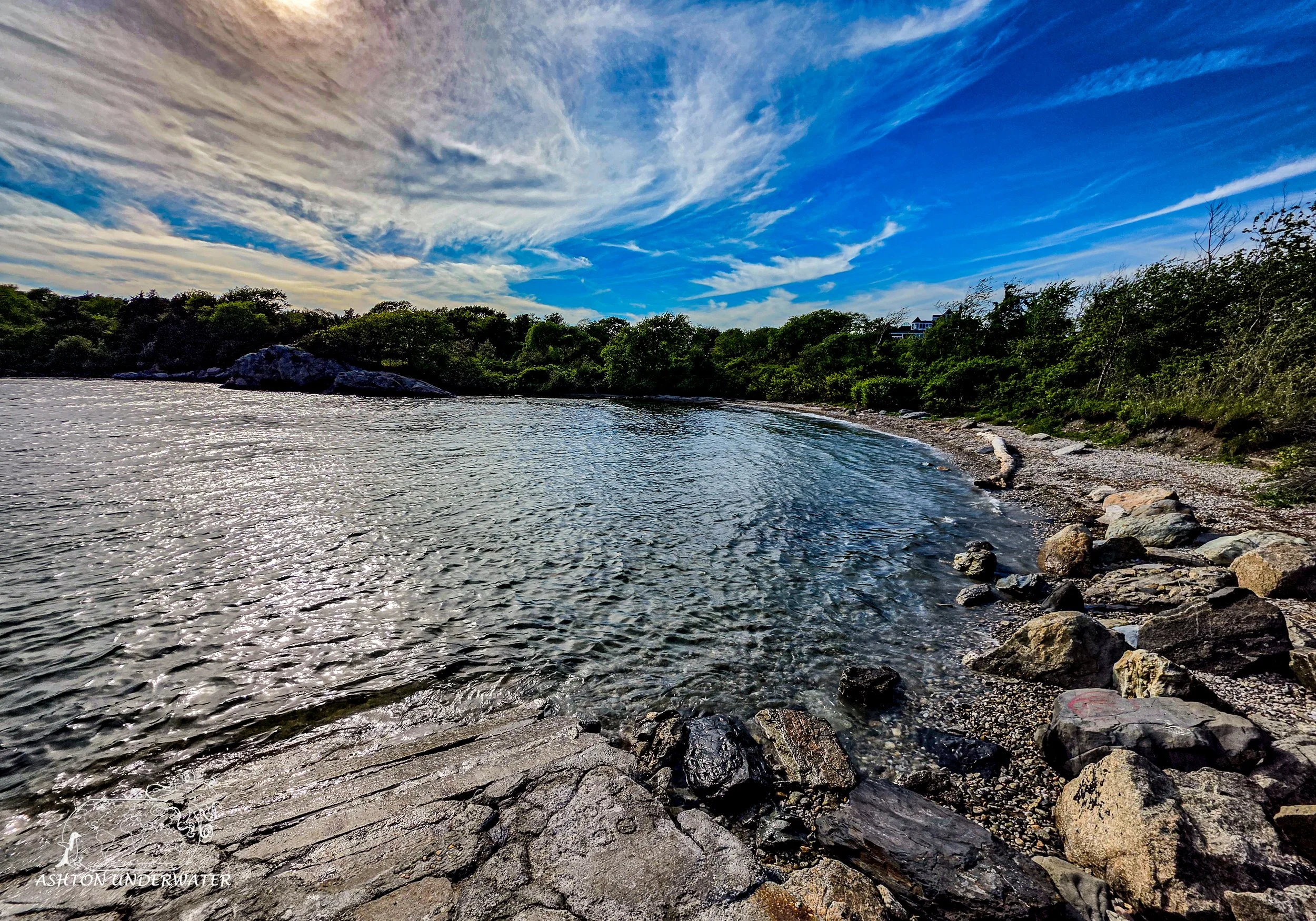
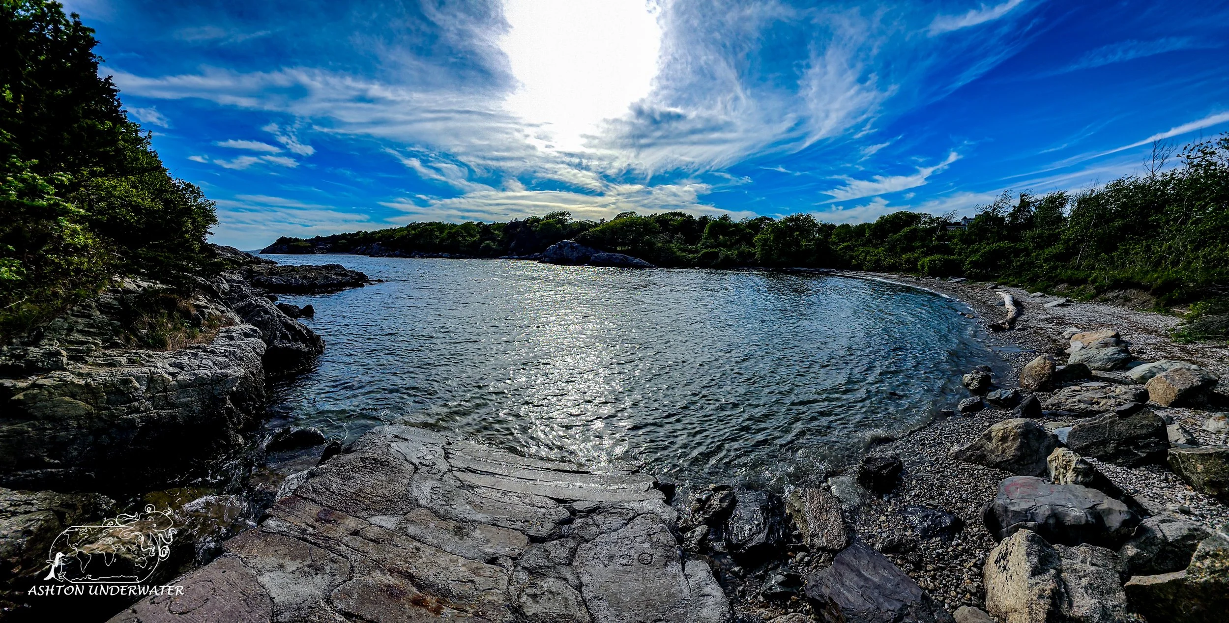
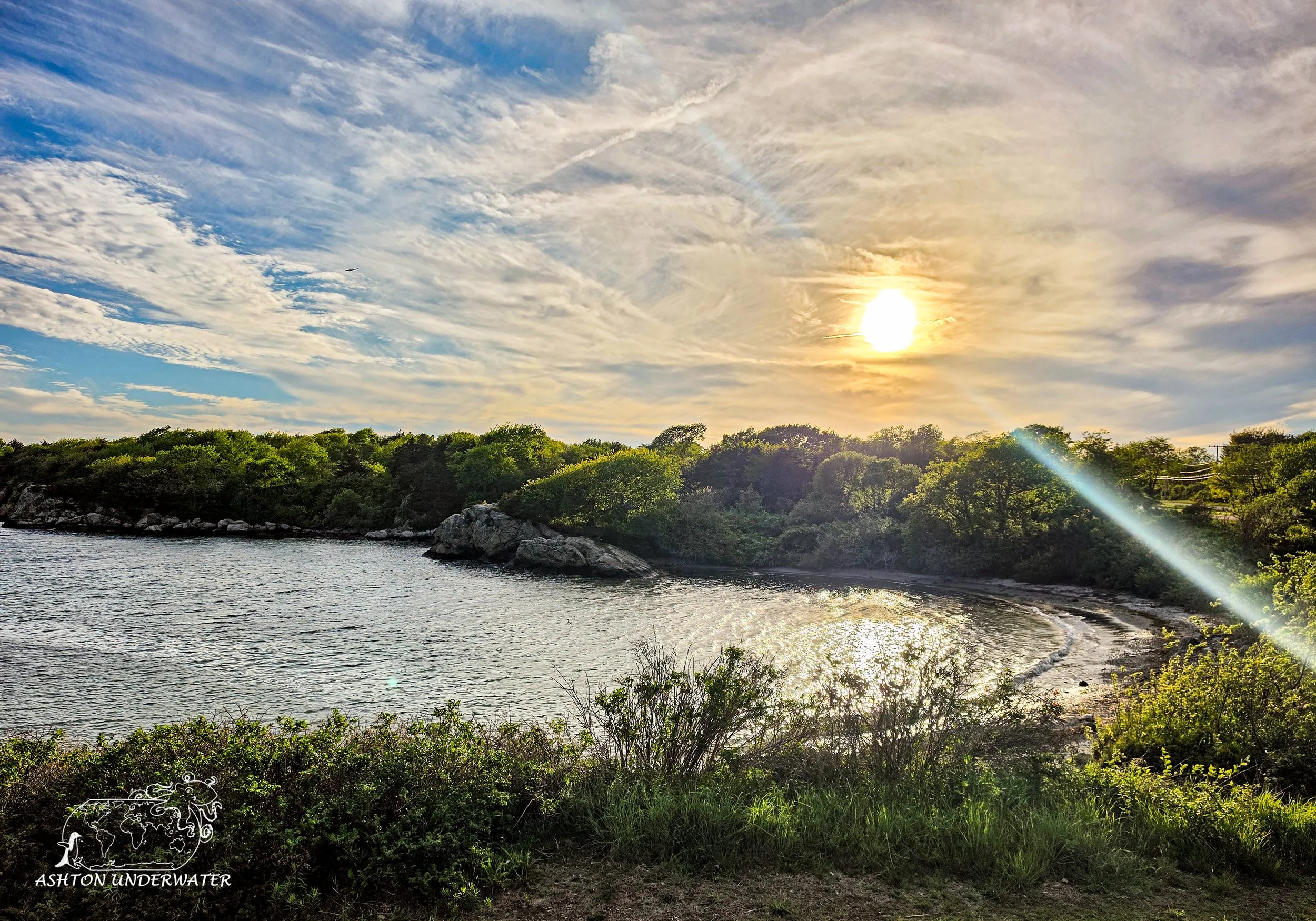
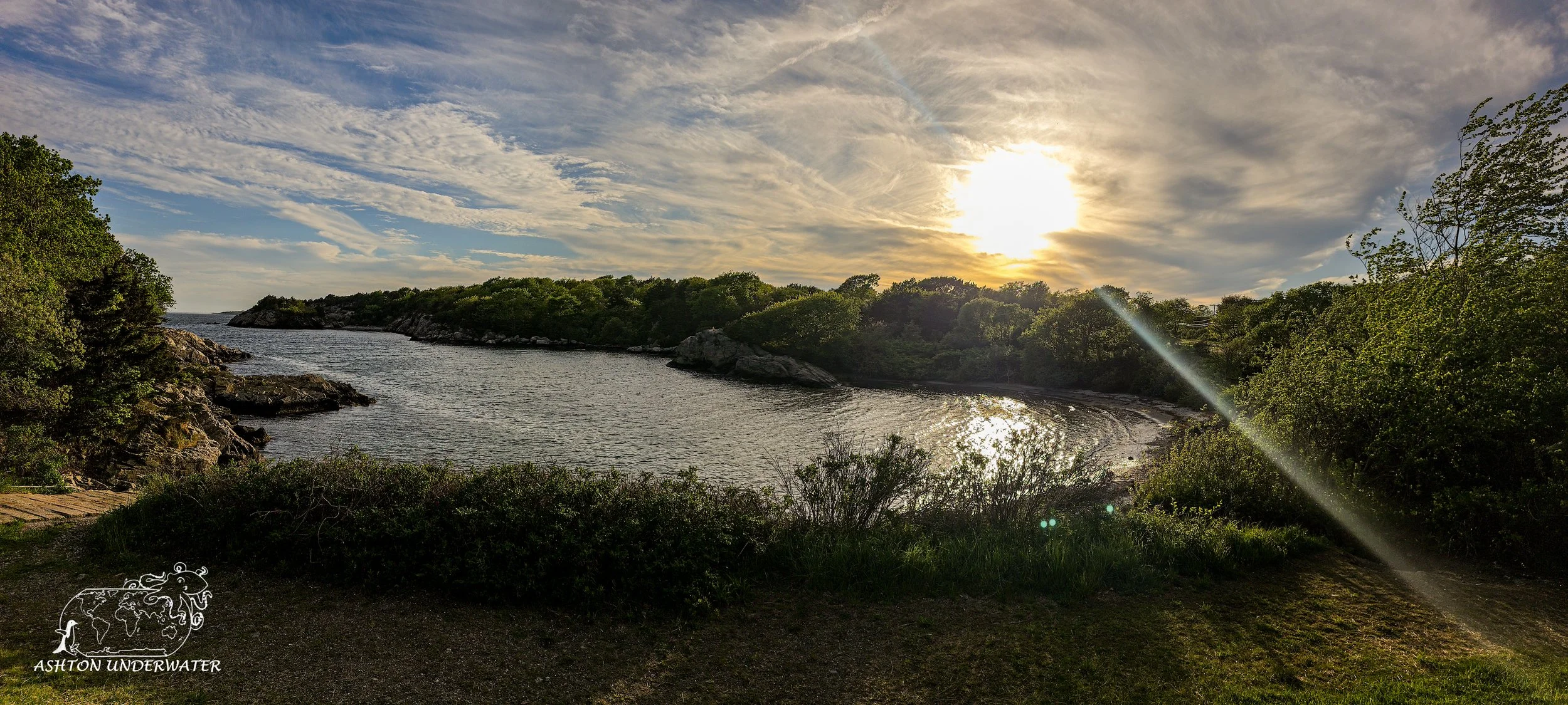
There are three coves at the Fort; East, West, and Bull Cove. The east cove is generally the shallowest, about 30ish feet. Entry into the water is done via the boat ramp and is surprisingly not super slippery, though caution should still be used whenever you’re entering the water. Once you’re in the water, it is a pretty shallow slope so there are lots of spots to do buoyancy checks and get acclimated before getting into the dive.
The west cove drops down to 70 and is connected by a small pass between the point and a small pinnacle. Getting directly to the water for the west cove is a much steeper and harder entrance.
The bull cove is an advanced dive that drops down to 100+’ and has a separate entry point on the other side by the second parking lot.
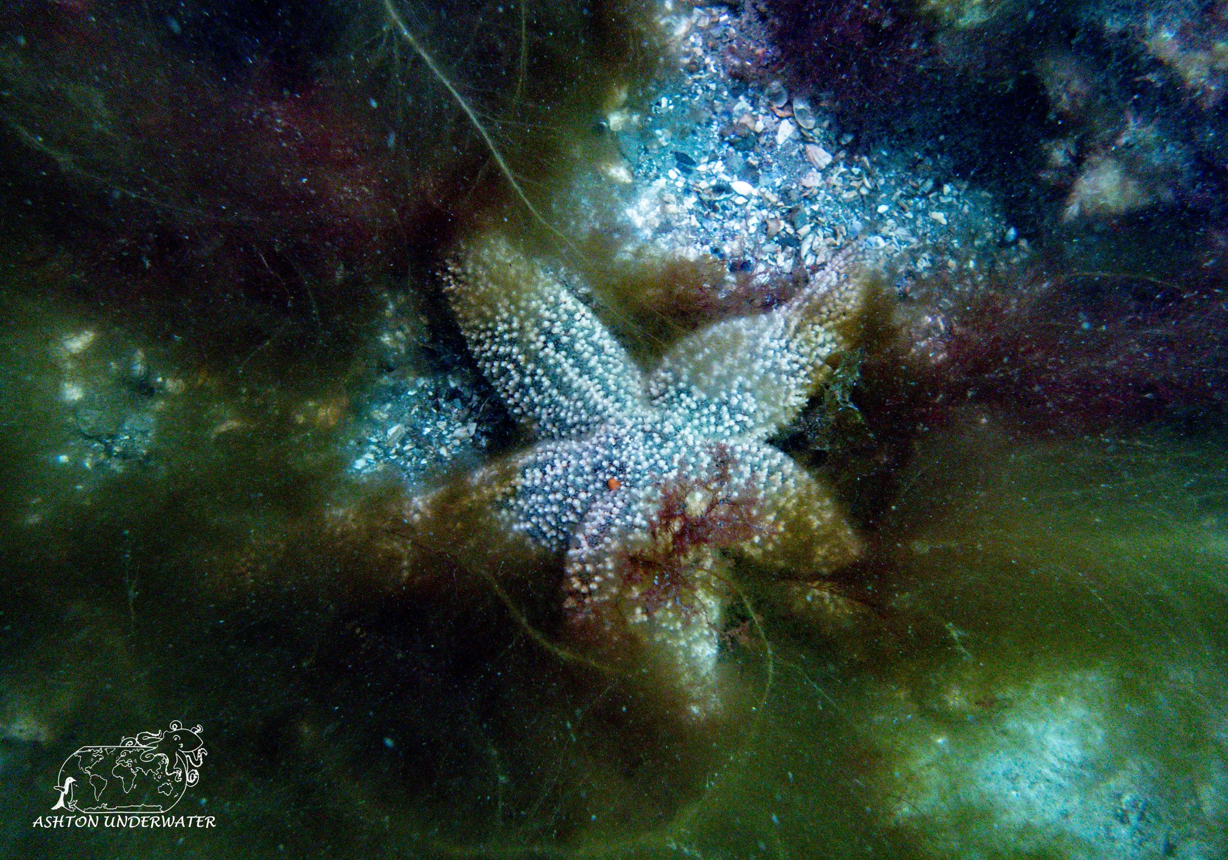
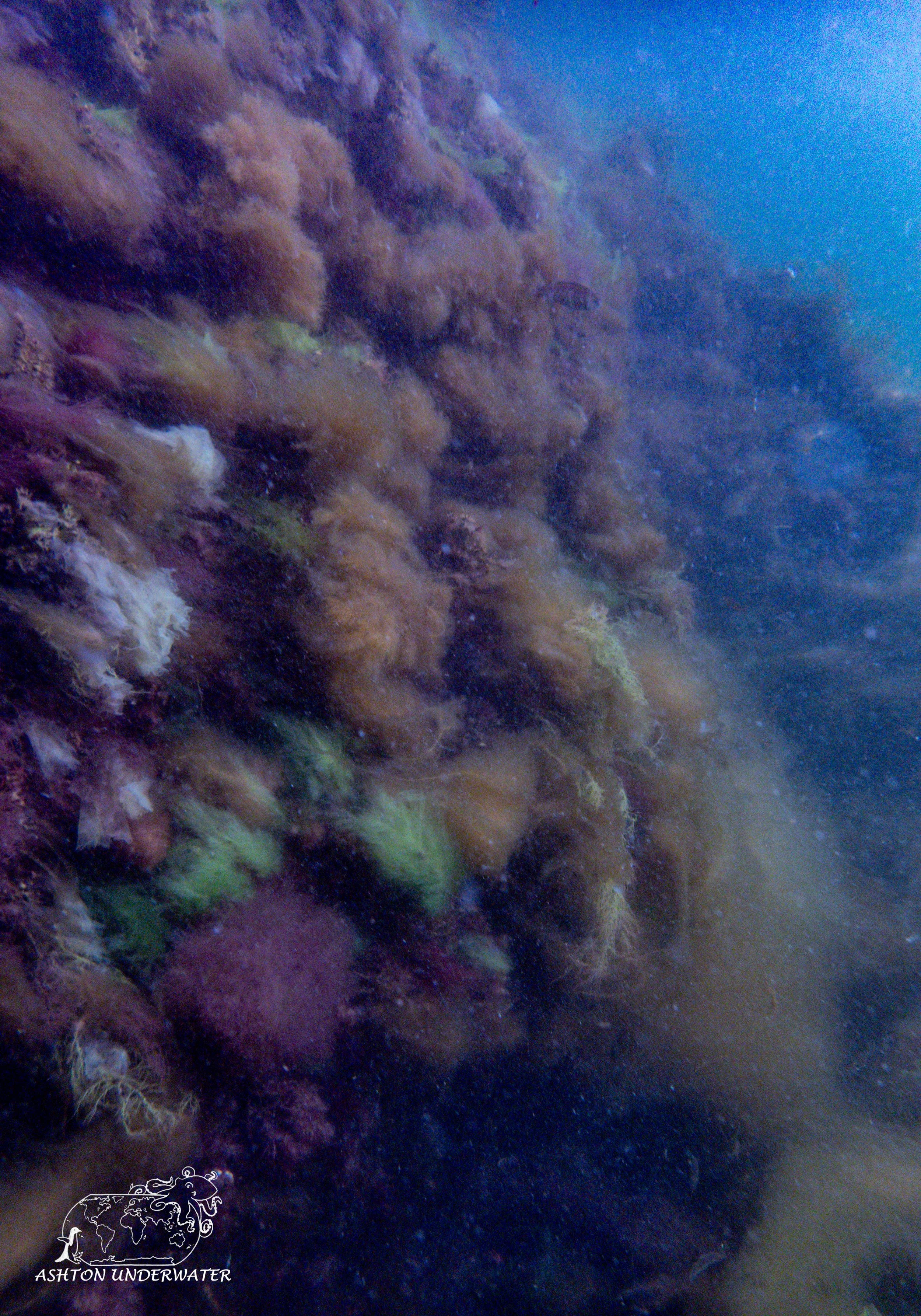
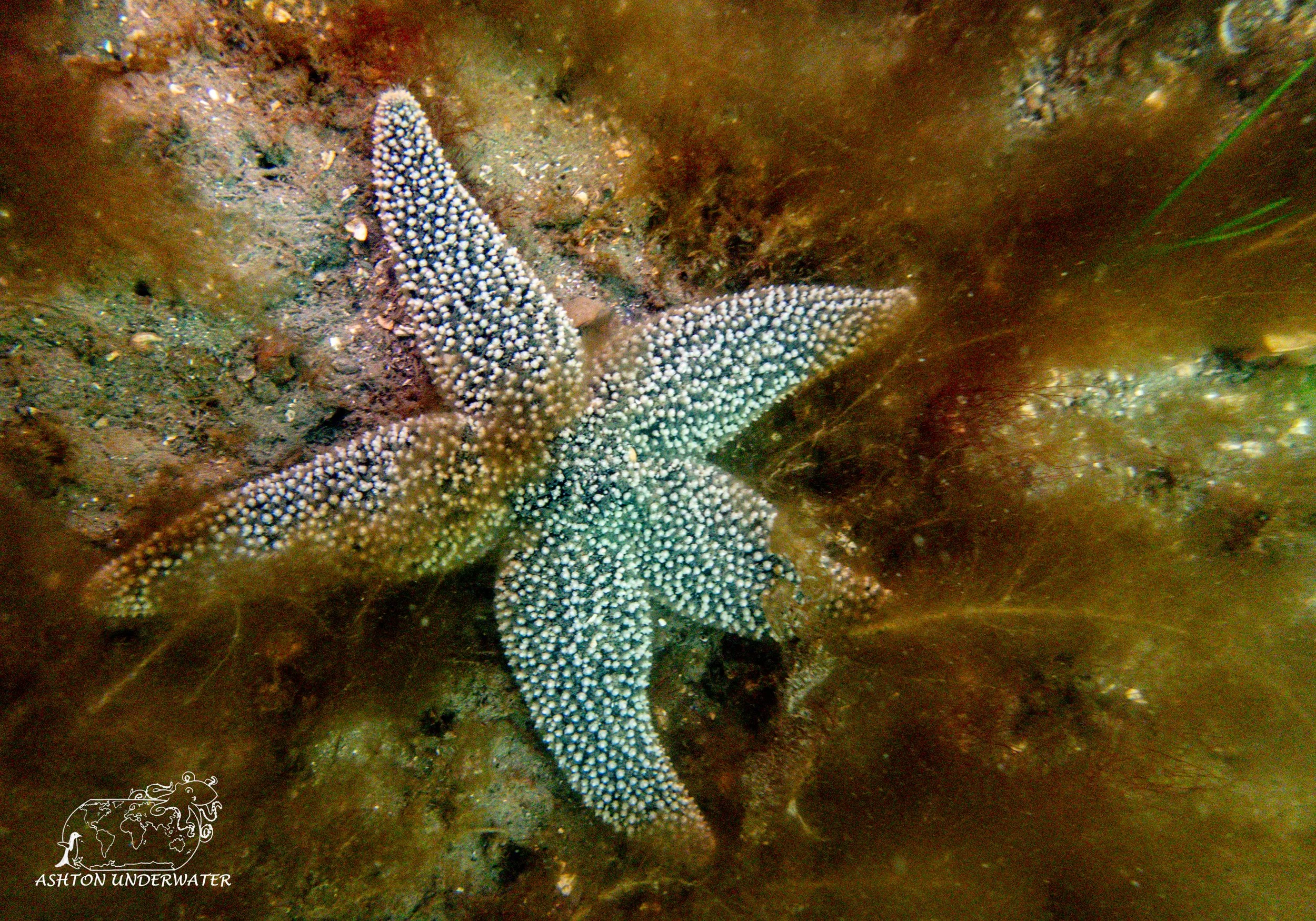
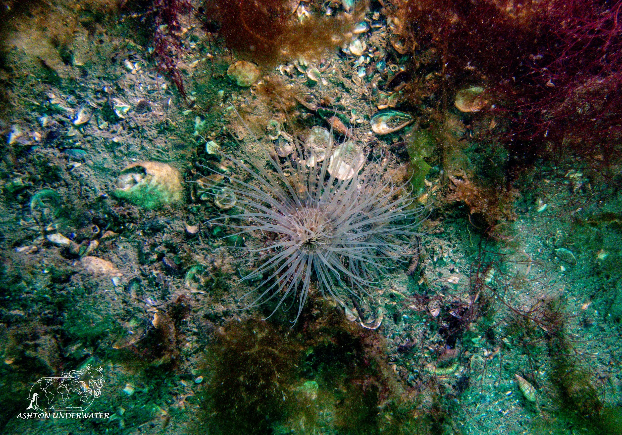
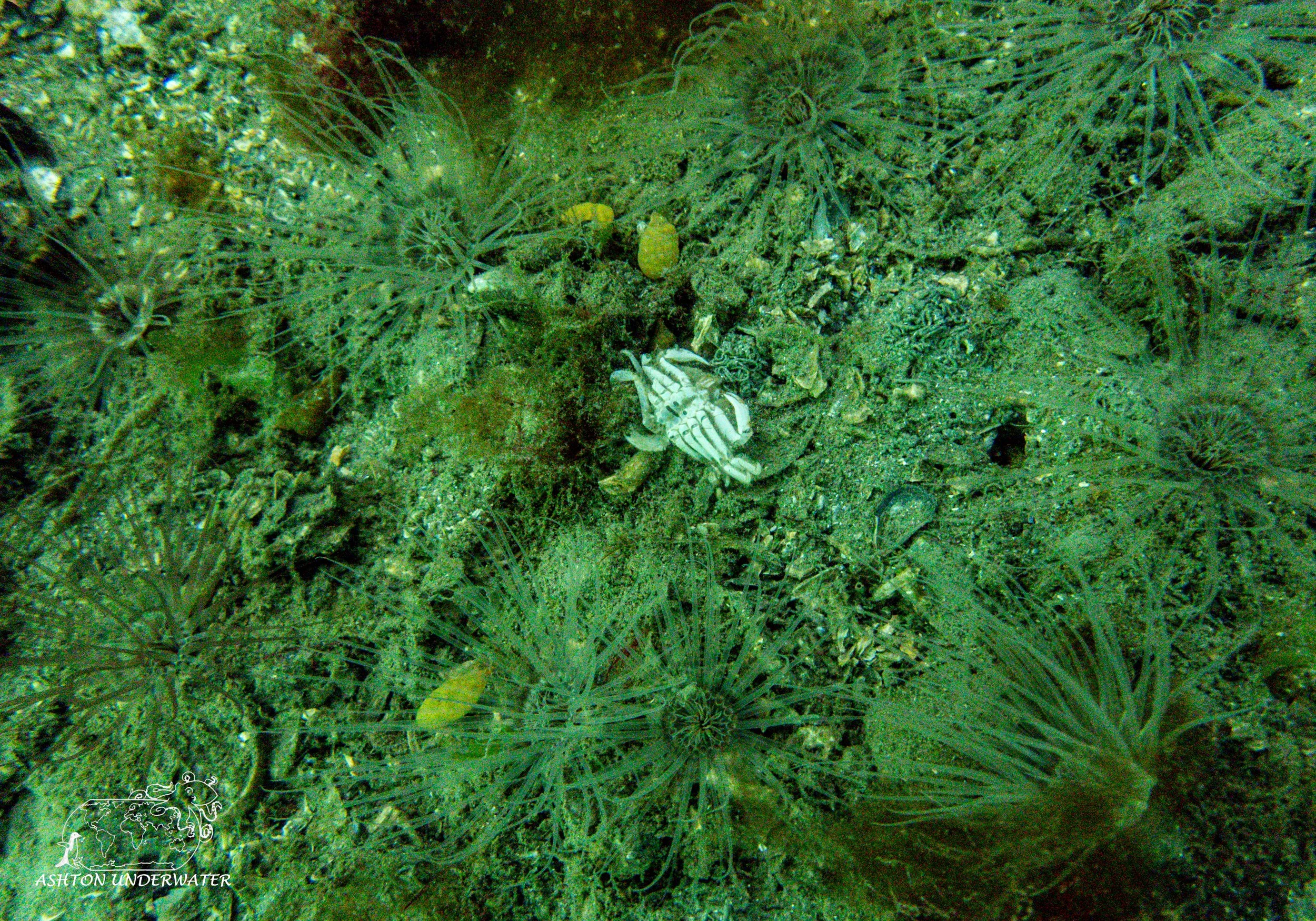
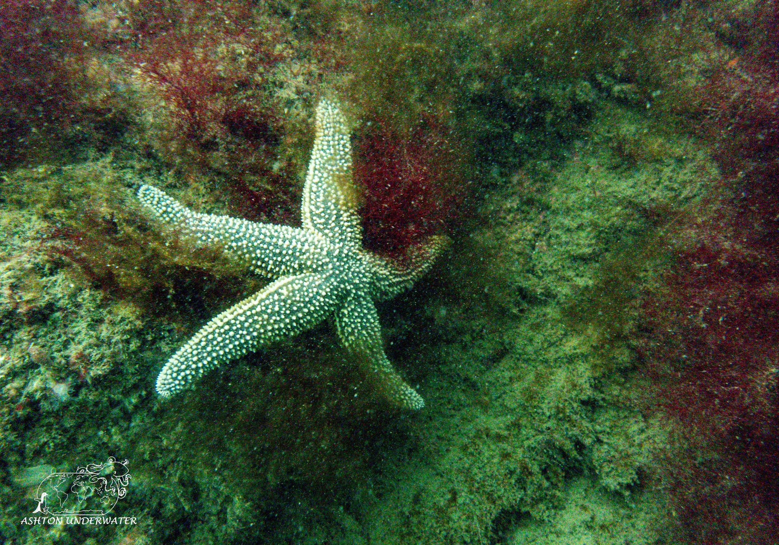
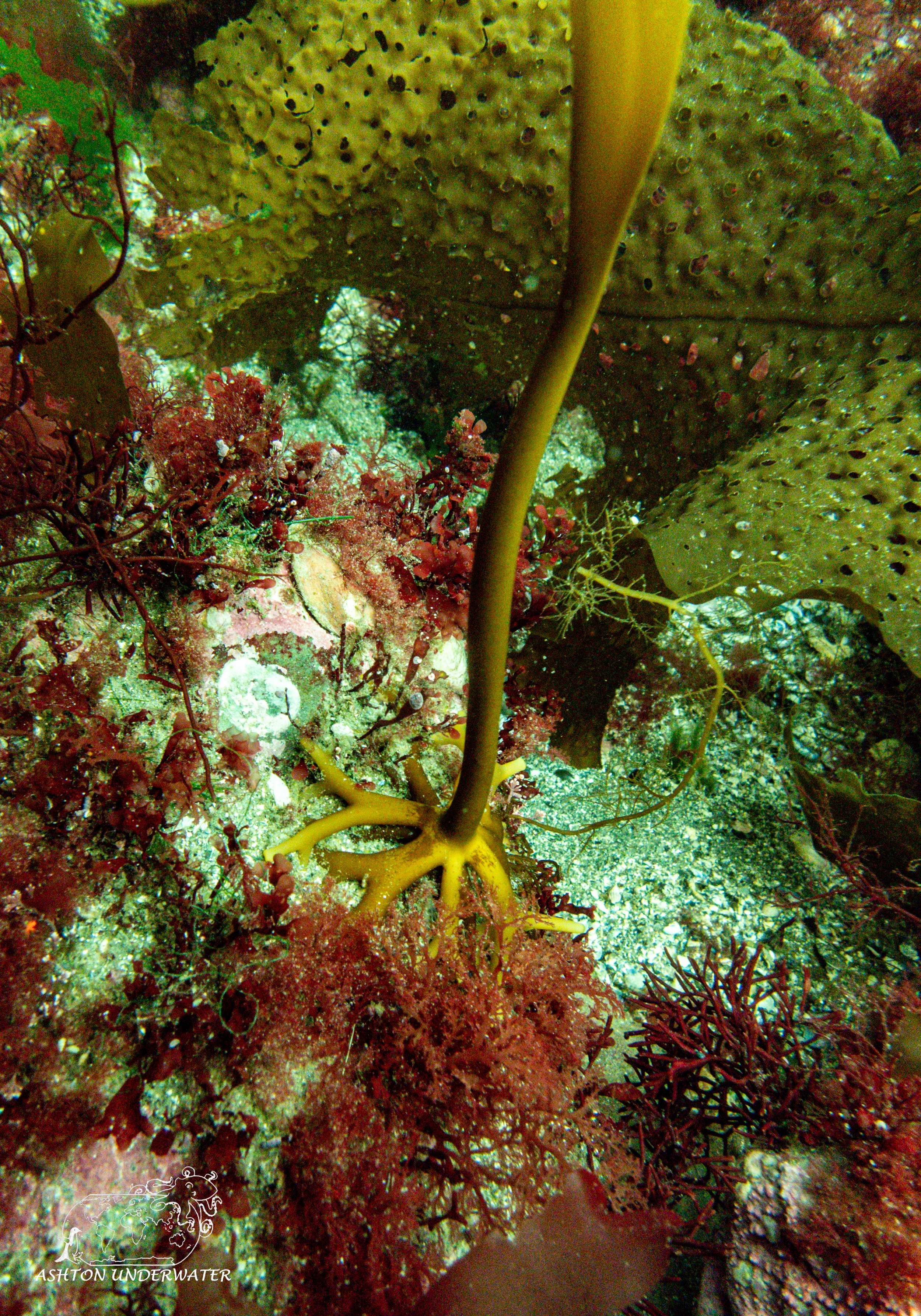
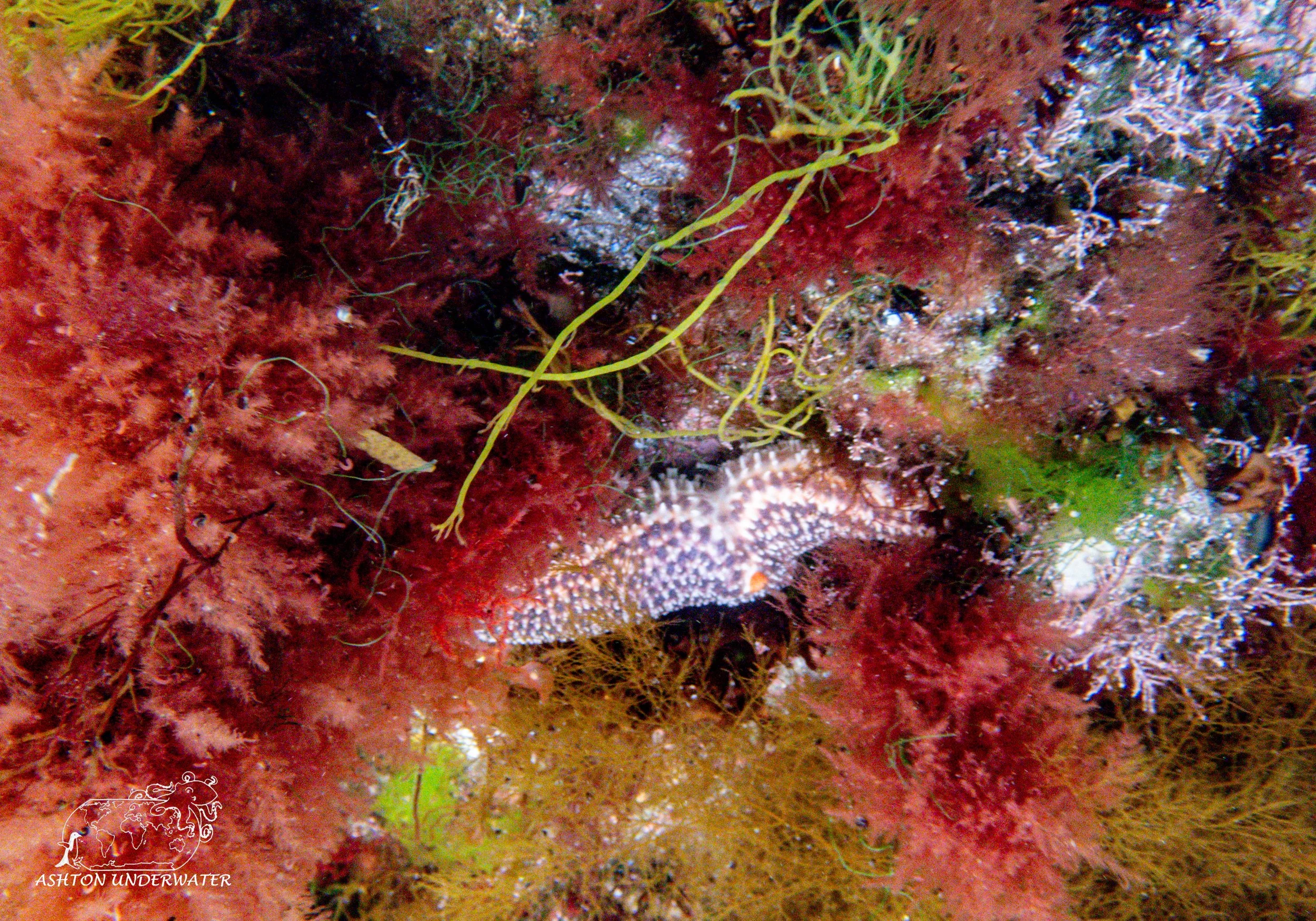
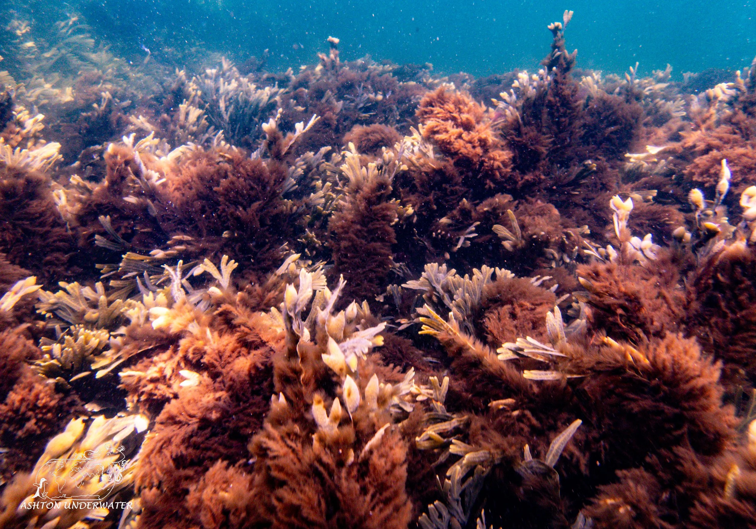
The coves have tons of types of colorful algae; hovering and watching it ebb and flow in the surge can be hypnotizing but also slightly disorienting if you focus too much on it. As you descend deeper the algae tends to dissipate and is replaced with sandy rocky bottom peppered with tube anemones and plenty of starfish. Small fish darted in and out of the rocks and all in all was a decent dive considering the visibility.
After packing up, we got ice cream at Baron’s Homemade Ice Cream. After realizing that something more than just ice cream should be eaten for dinner, we stopped by Kingston Pizza of Narragansett for some pizza and cheese steaks before hitting the road again. This time up to New Hampshire!
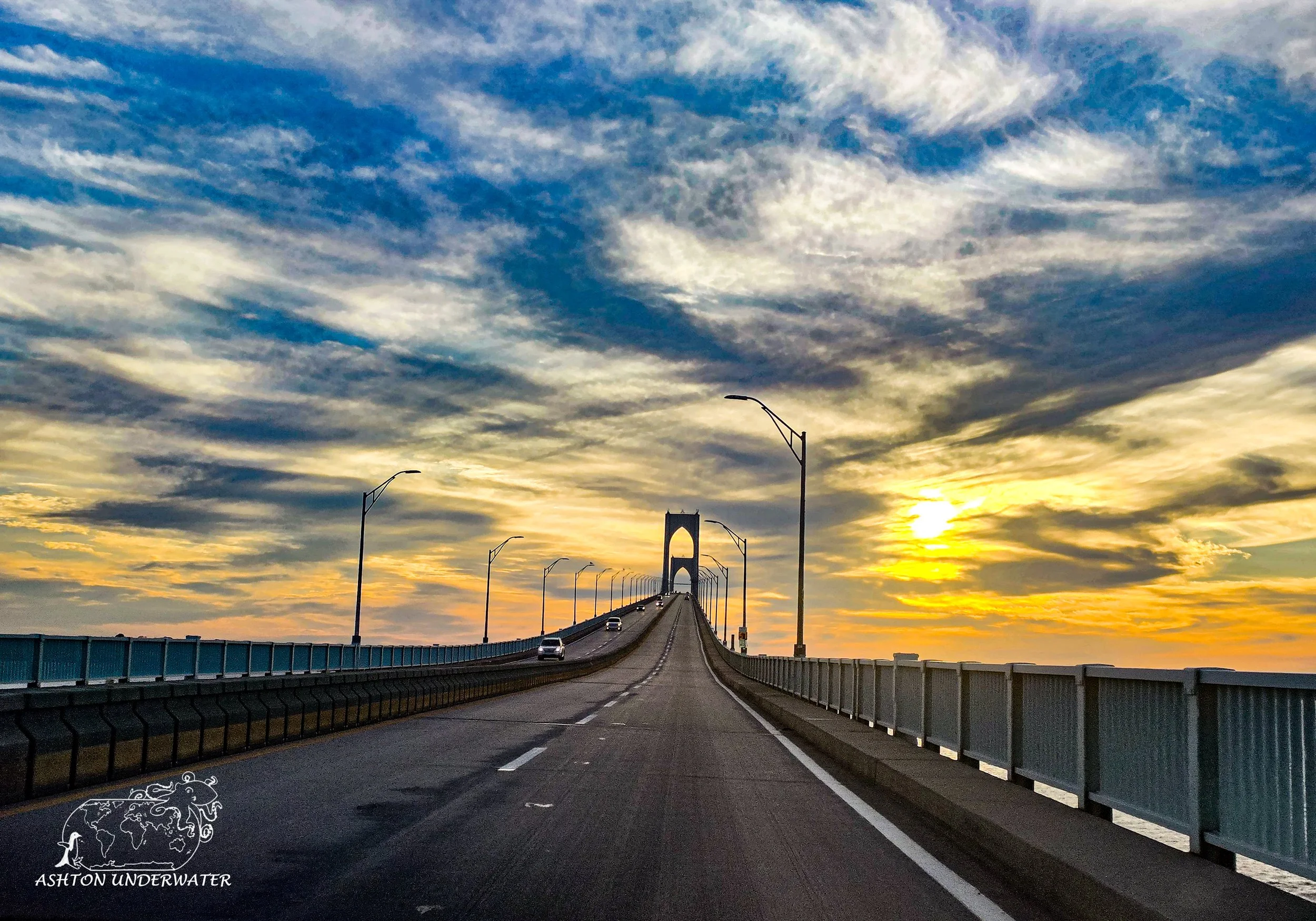
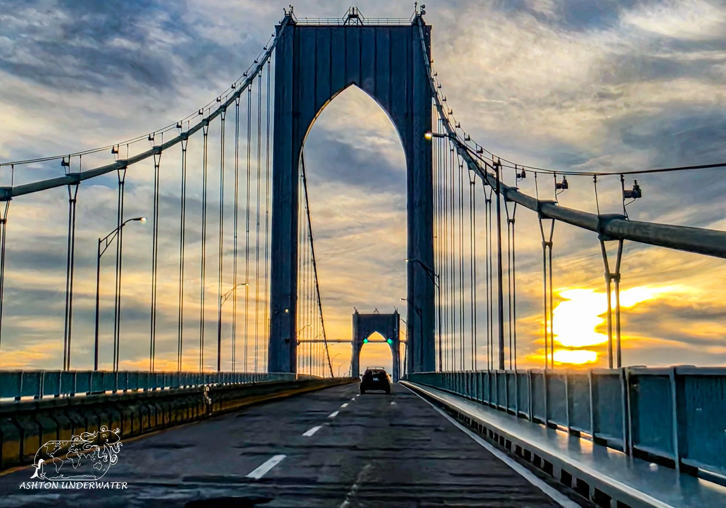
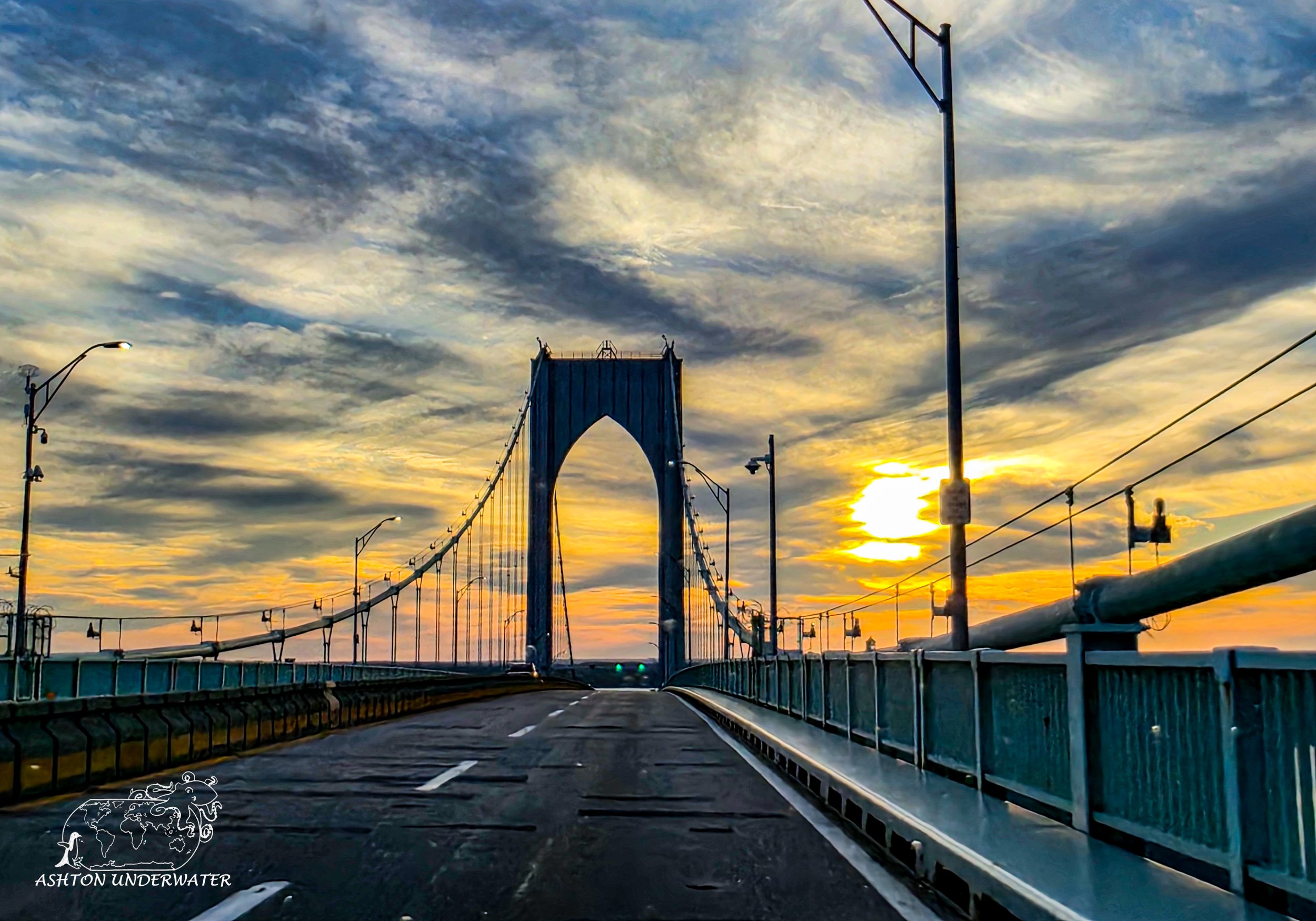
Leg Four: Rhode Island to New Hampshire
We made our way to New Hampshire, showered, passed out and then got up to prepare for our dive on Lake Winnipesaukee near Wolfeboro, New Hampshire.
Clark’s Point, Lake Winnipesaukee
Wolfeboro, New Hampshire
43.5717, -71.2118
38’ for 41 minutes, 51°
May 27th
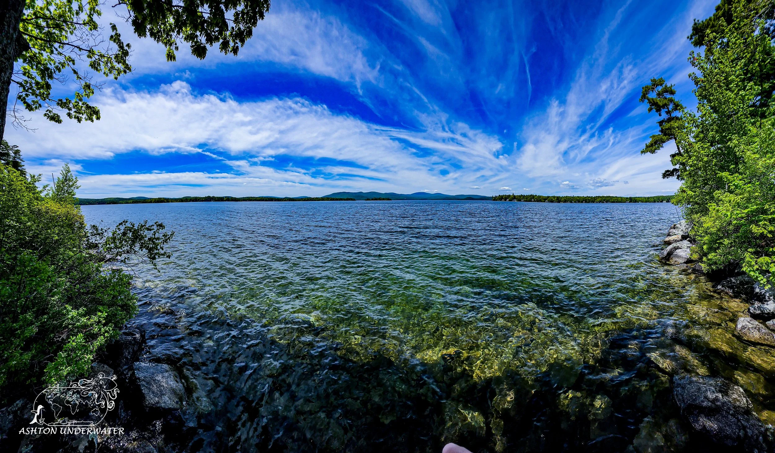
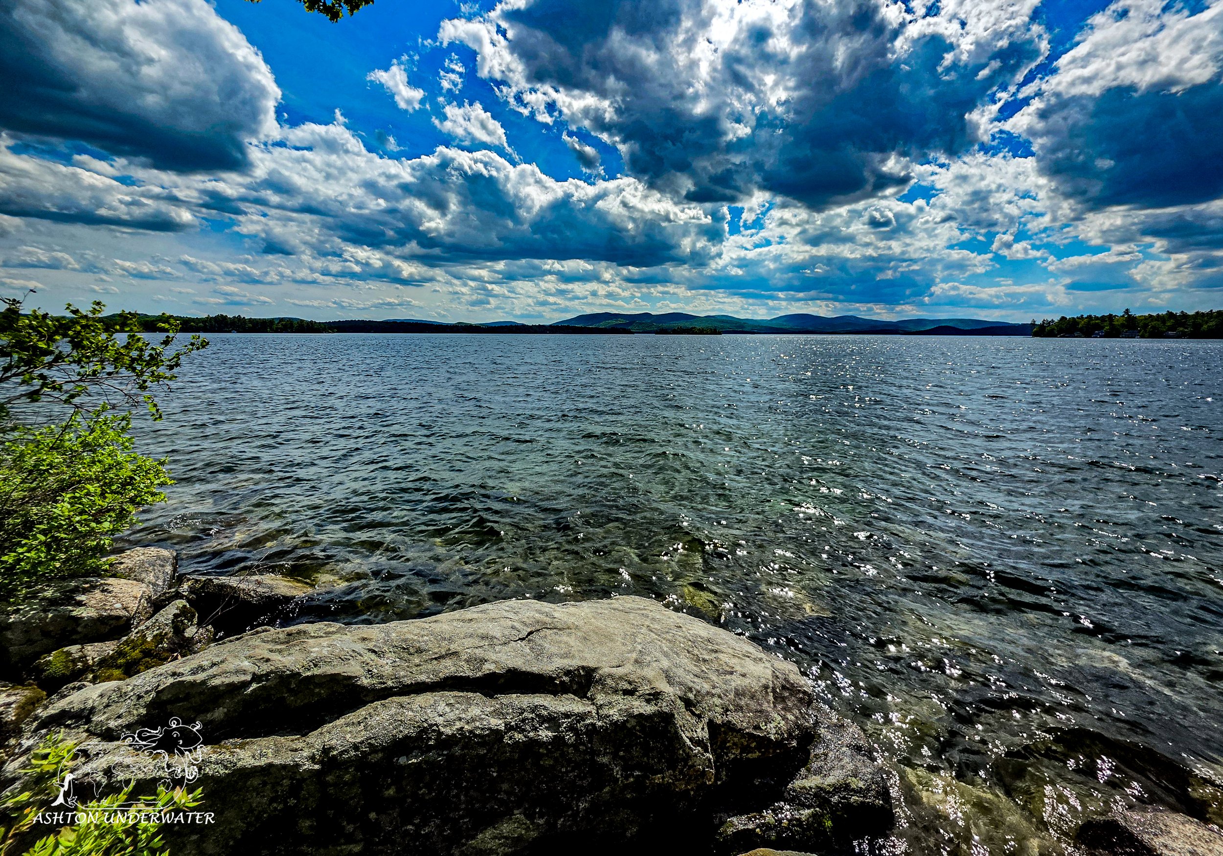
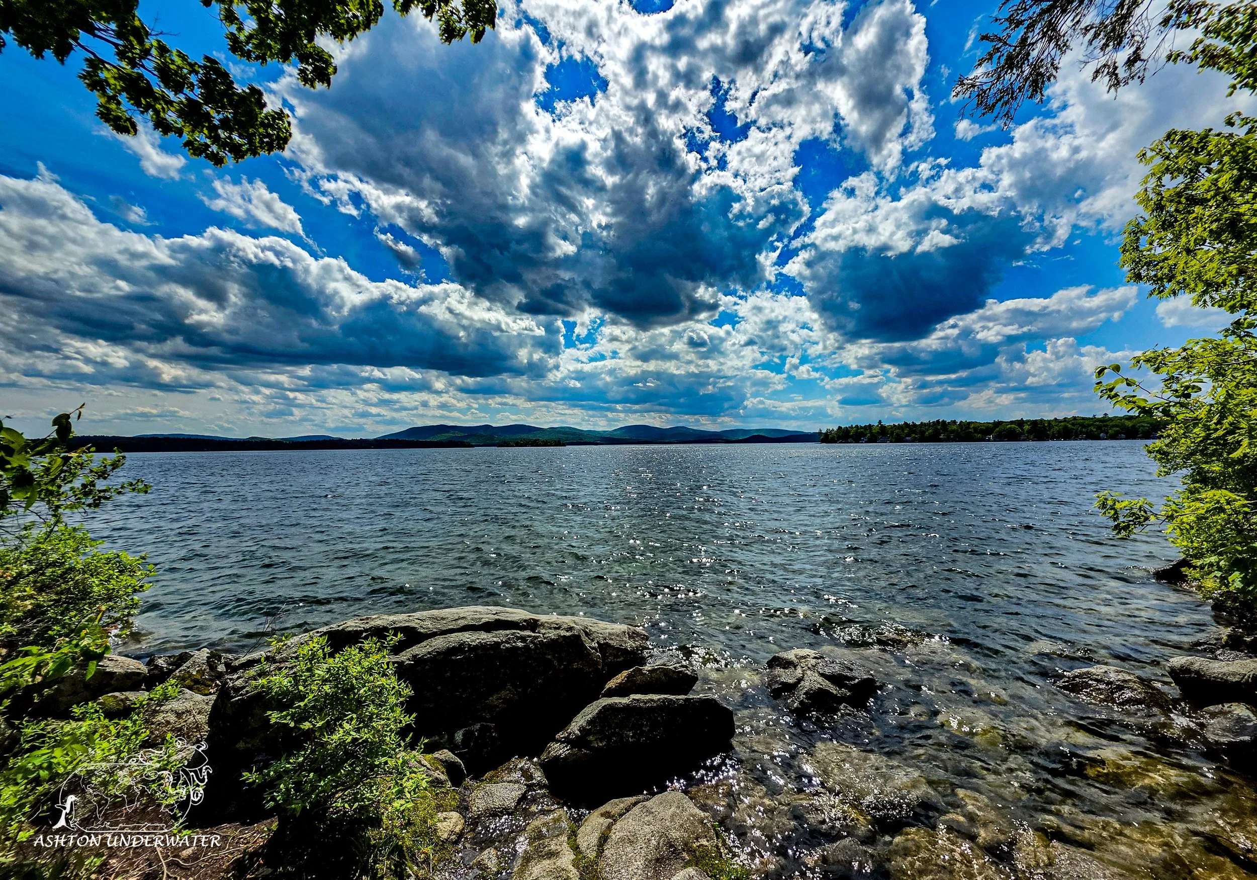
Lake Winnipesaukee translates to English from the native Eastern Abenaki language as either “Smile of the Great Spirit” or “Beautiful Water in a High Place” but the exact translation is often debated. It’s the largest lake in New Hampshire at roughly 71 square miles with a maximum depth of 180’.
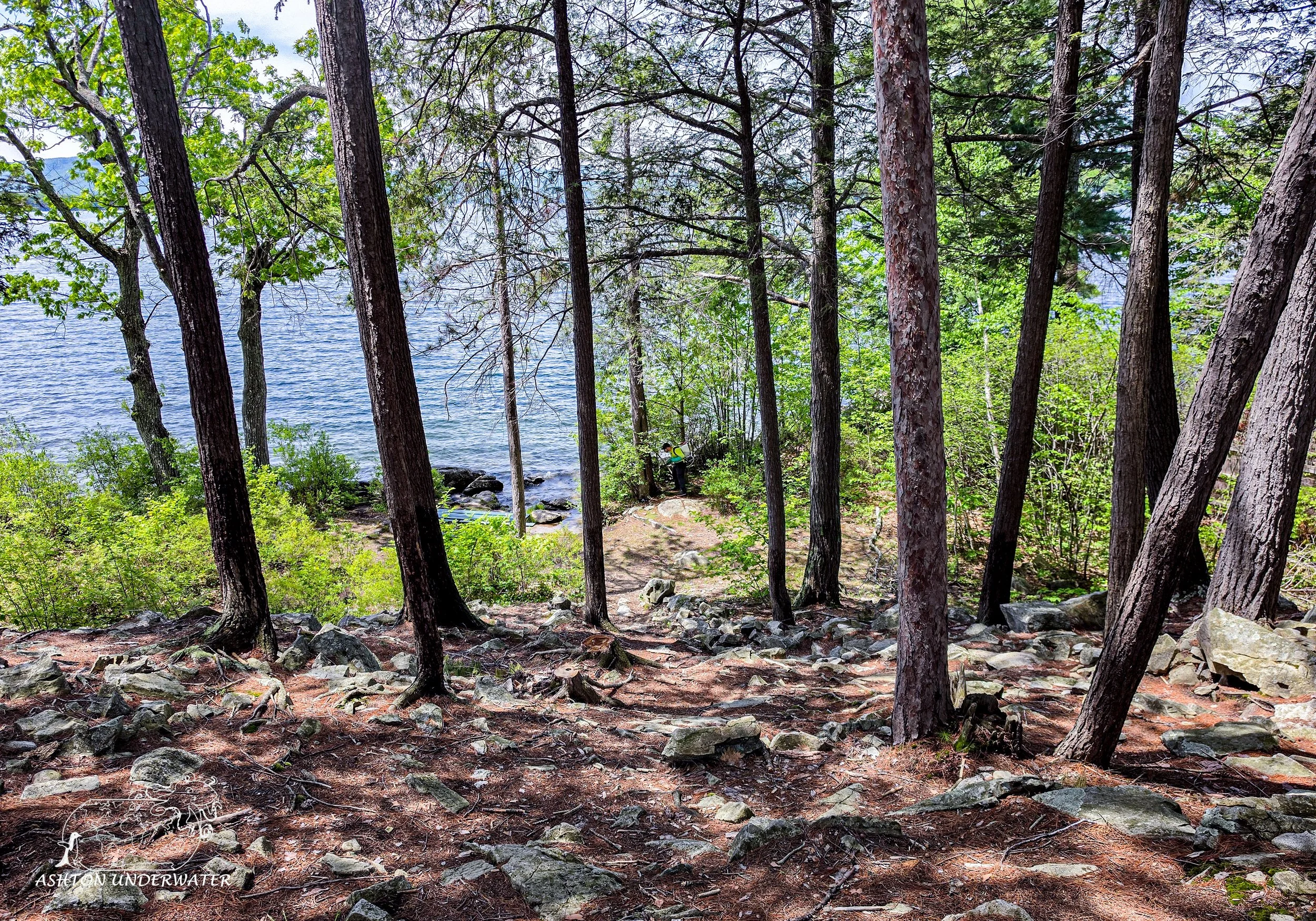
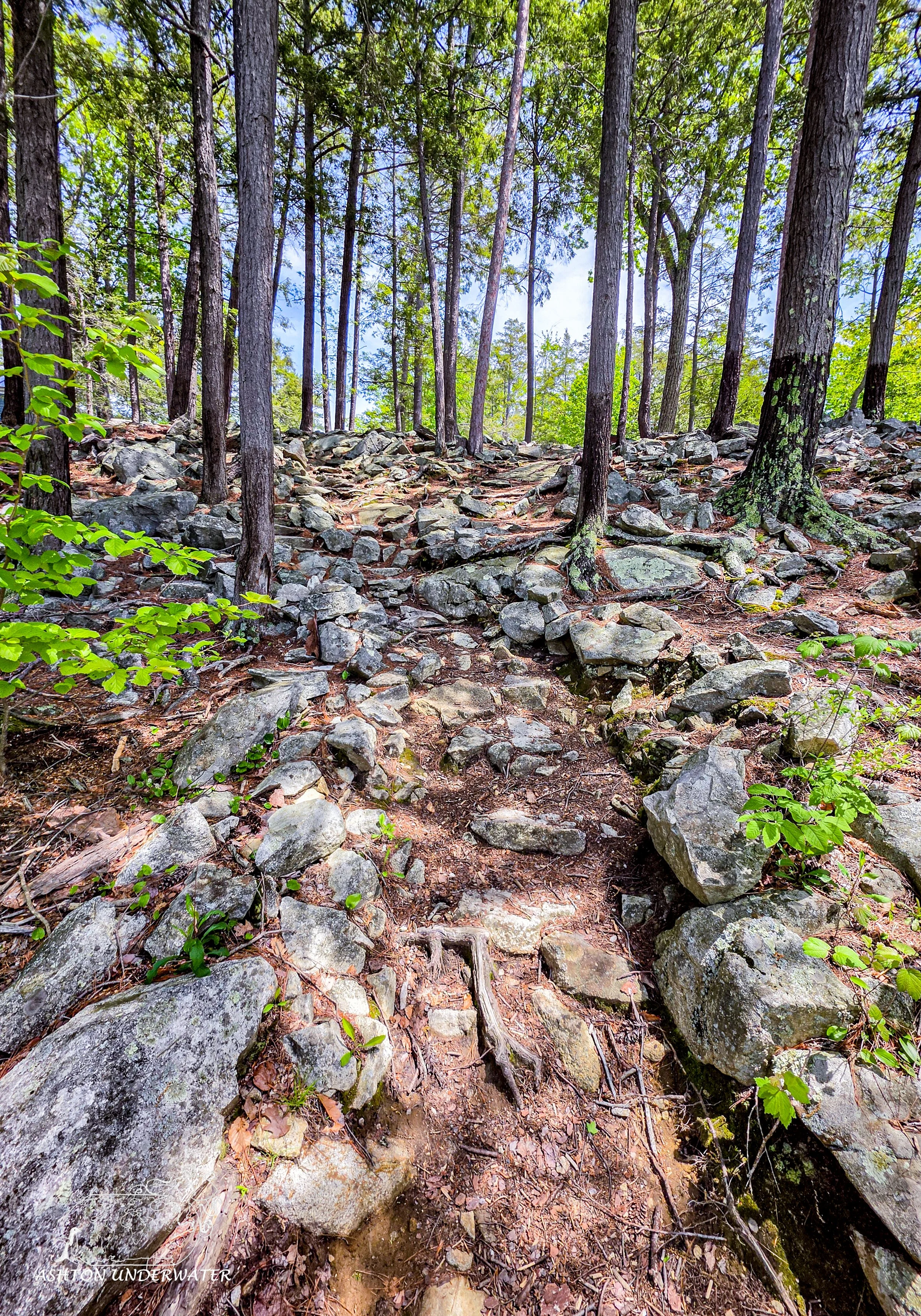
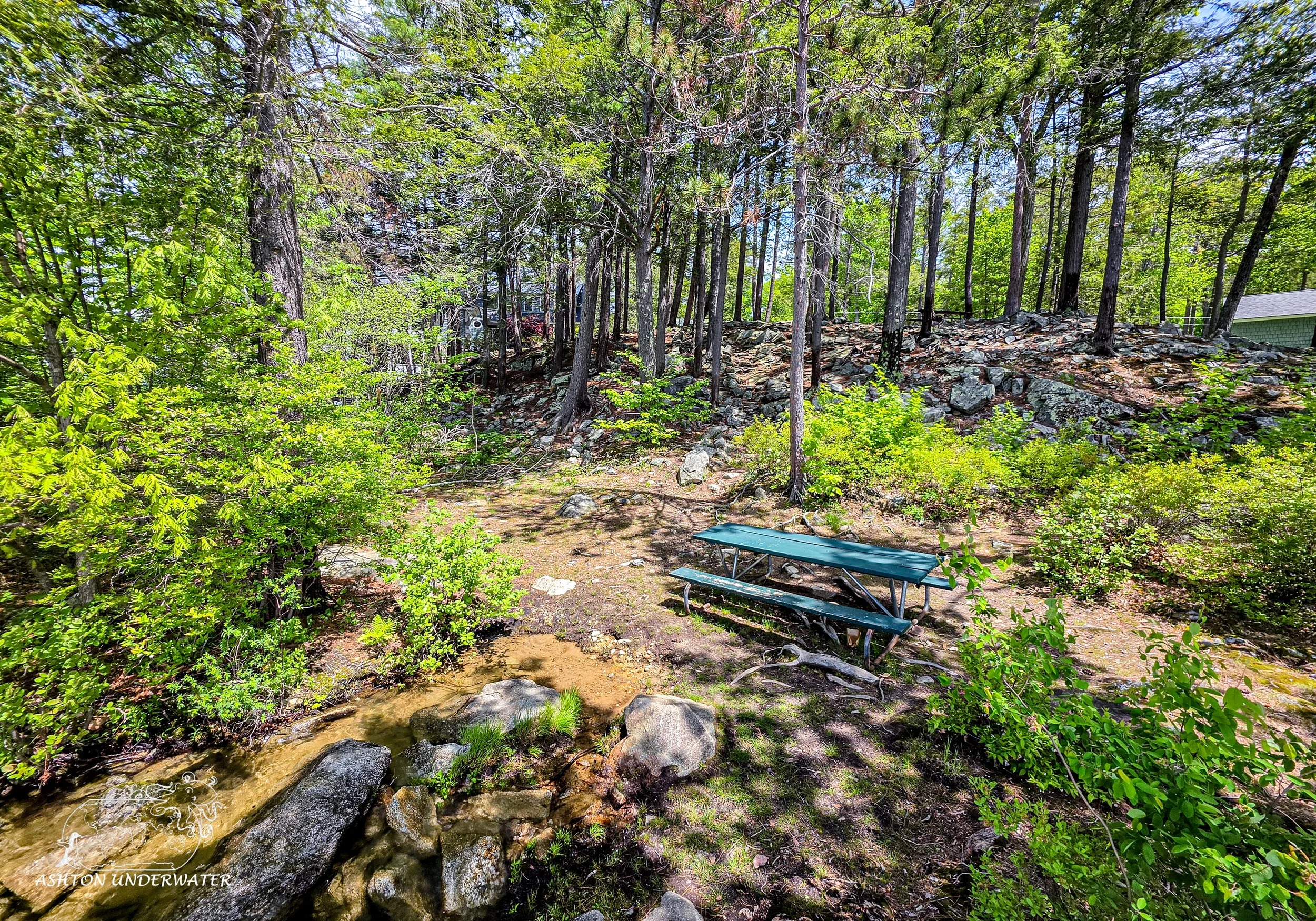
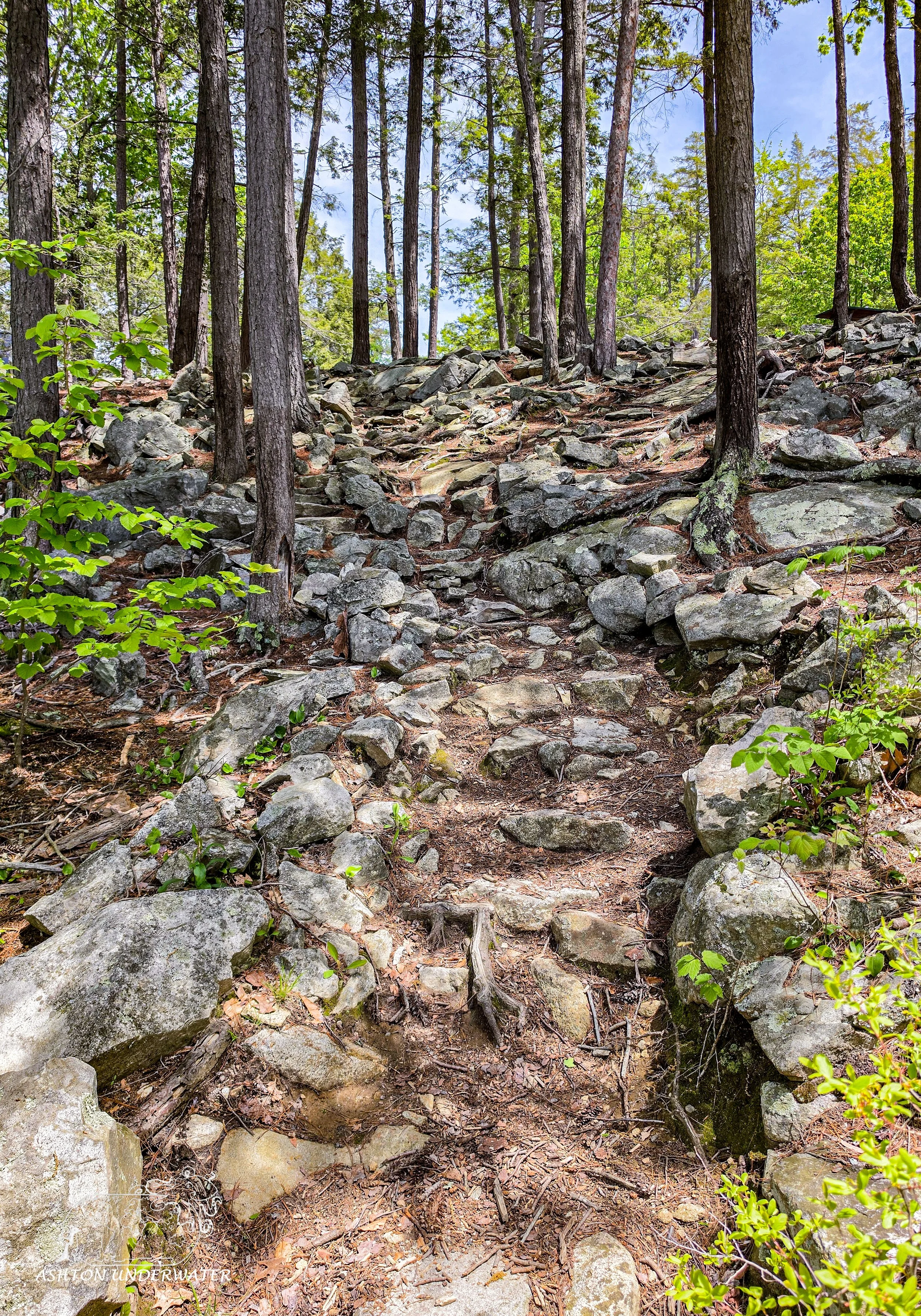
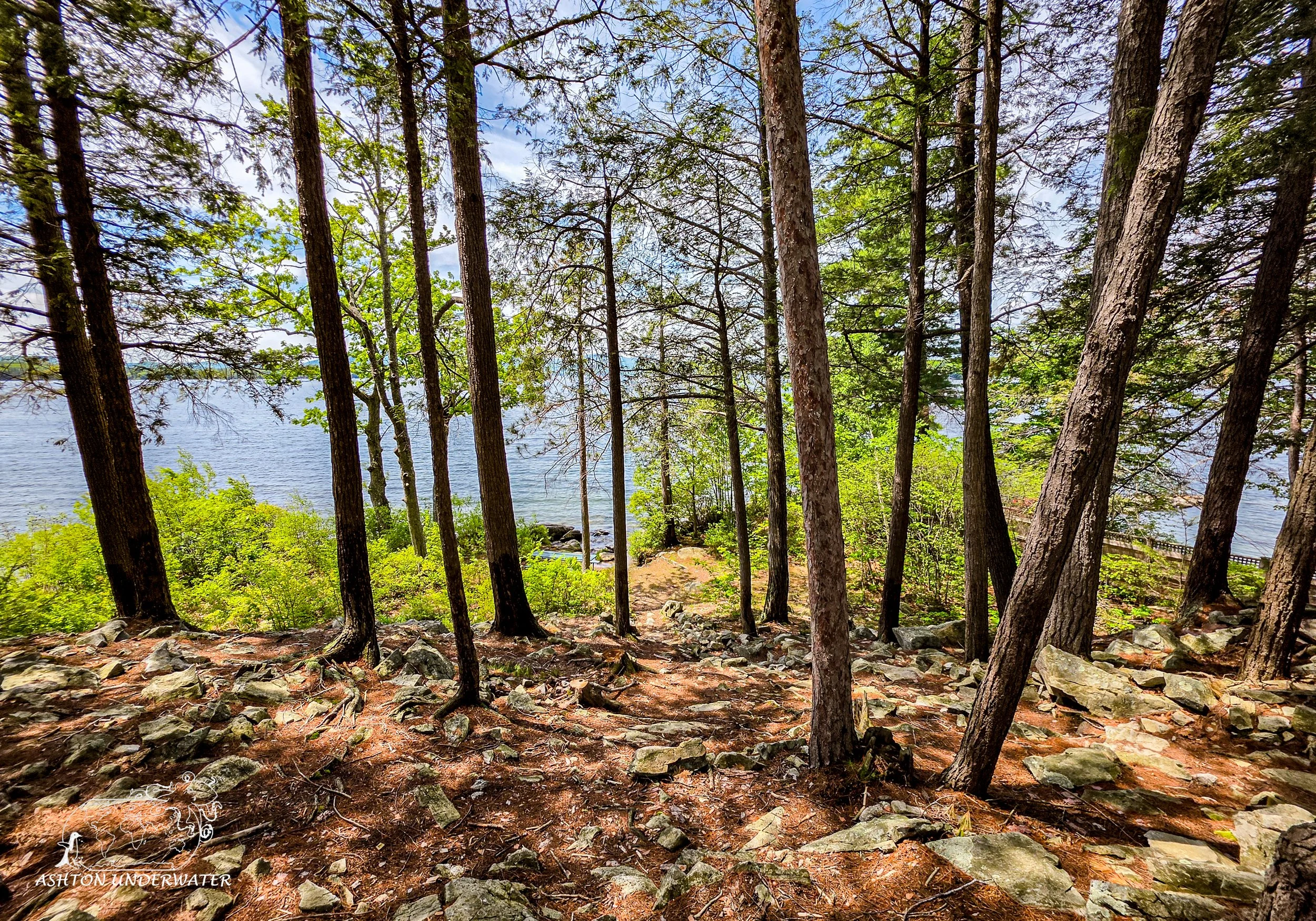
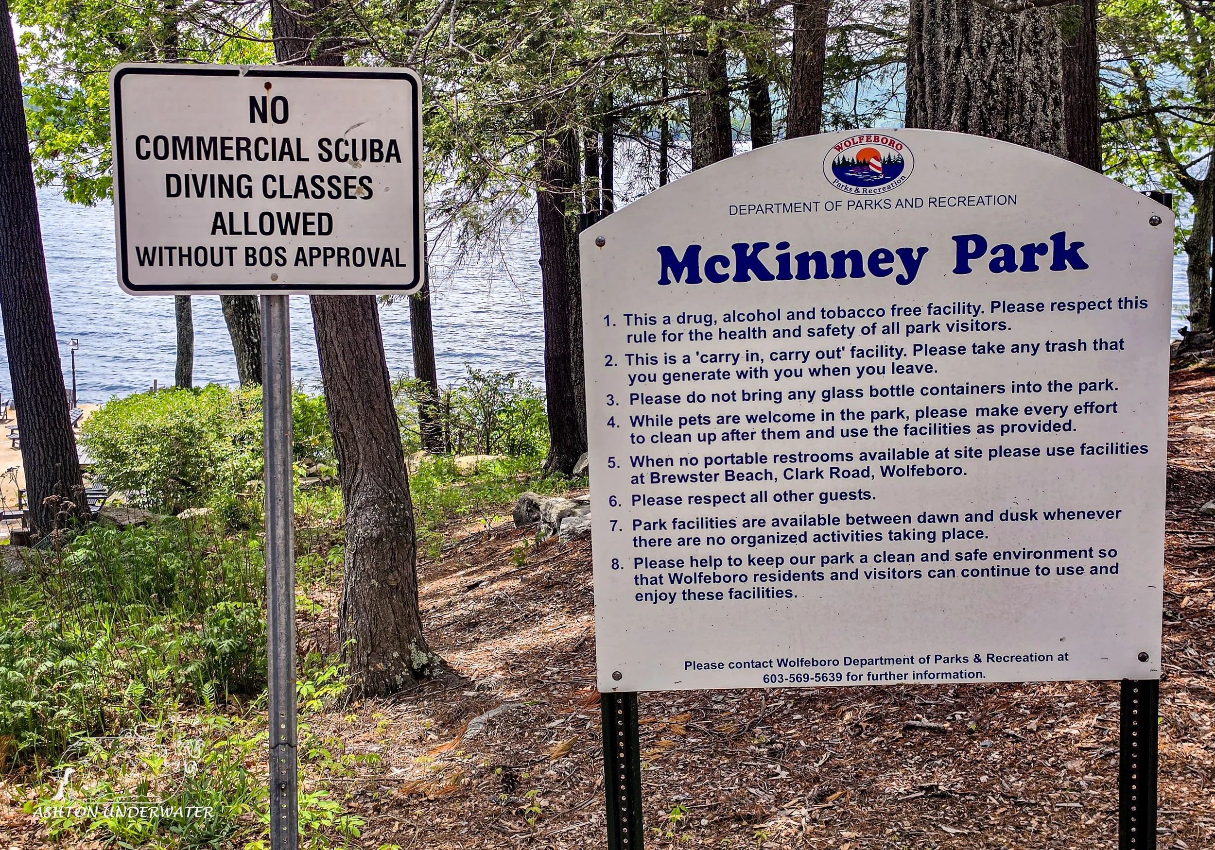
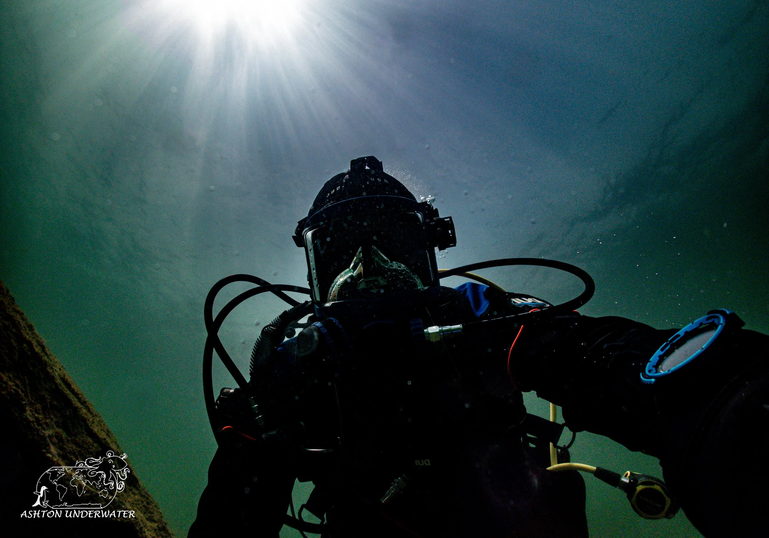
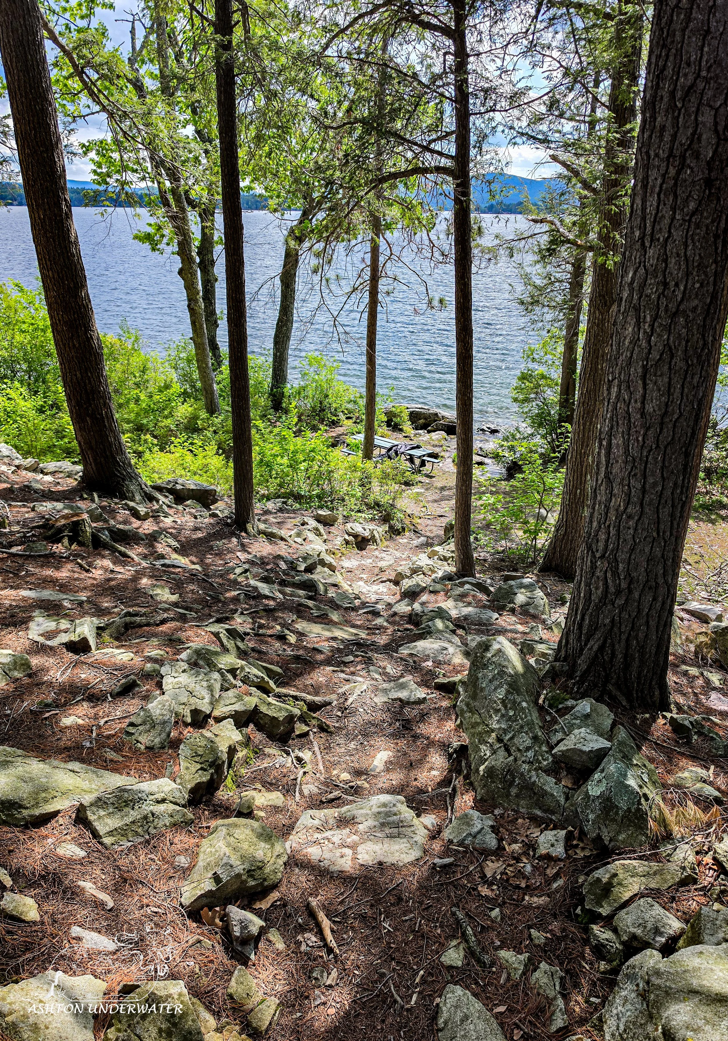
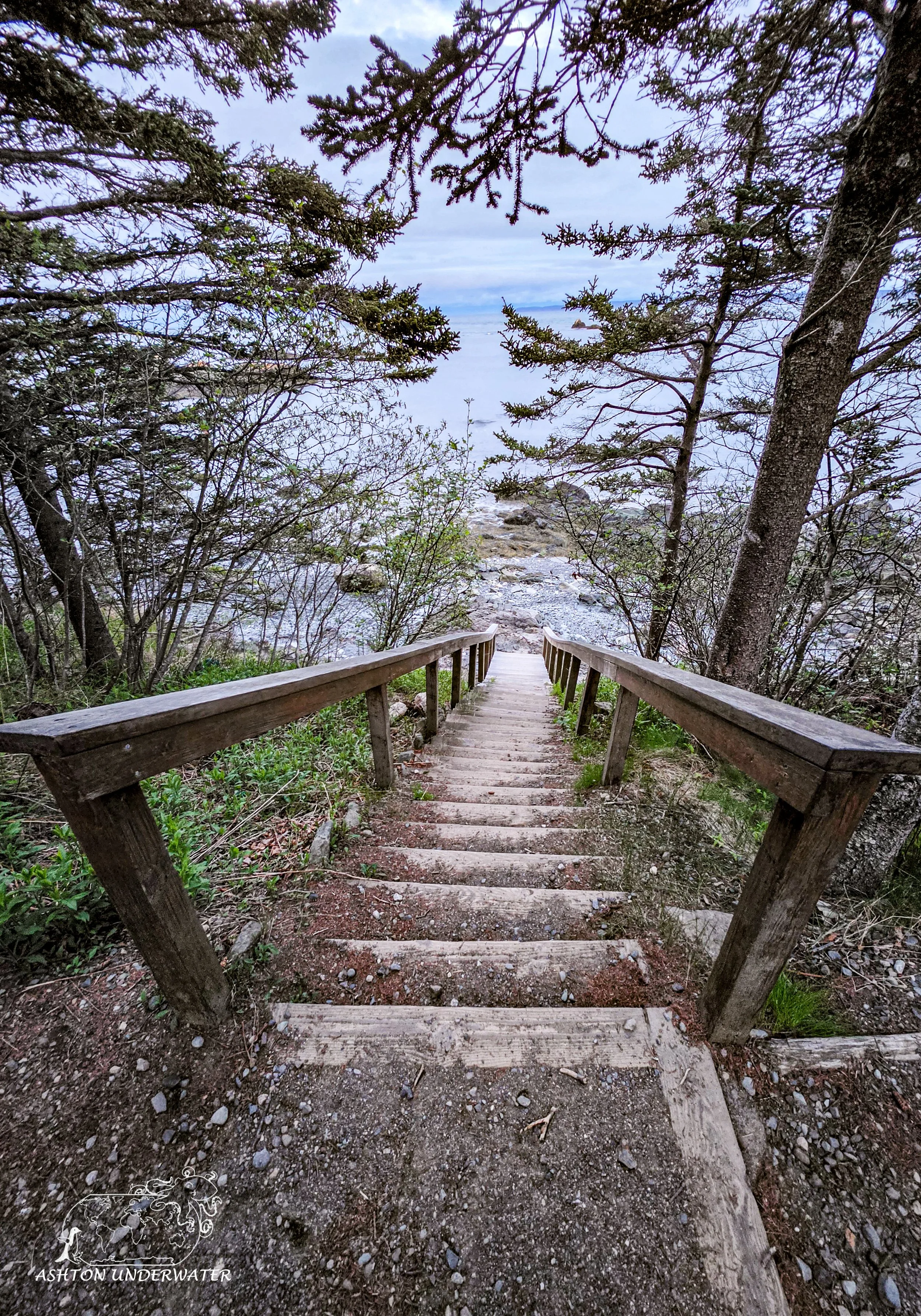
We dove at Clark’s Point, a shore entry located as part of McKinney Park, a small park in the middle of a neighborhood. At the top of the hill there are a couple of picnic benches, to stage and gear up, or you can carry everything individually down a rough set of “stairs” to the water’s edge through the trees. Either way, gear up and enter the water. Once you’re in the water, the sooner you can swim on your back the easier it will be. The rocks in the water are slick and have lots of small spaces to slide your foot into and hurt yourself, luckily there weren’t many waves to fight with but it was still a clumsy entrance to the water.
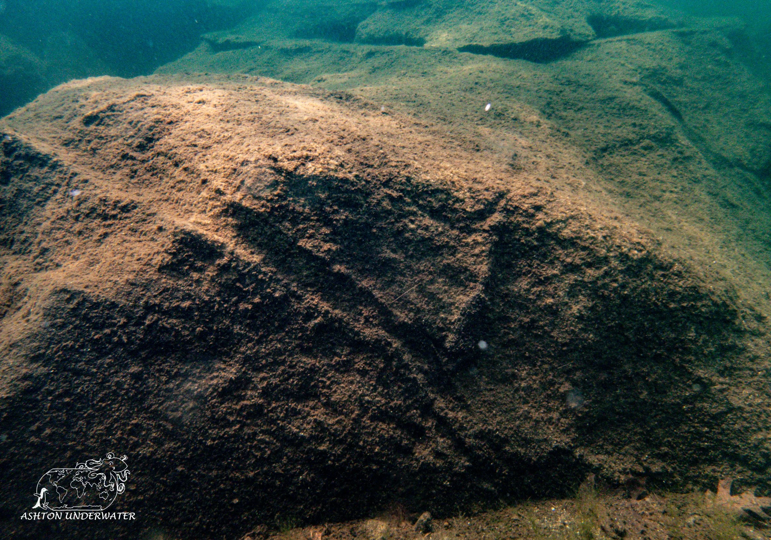
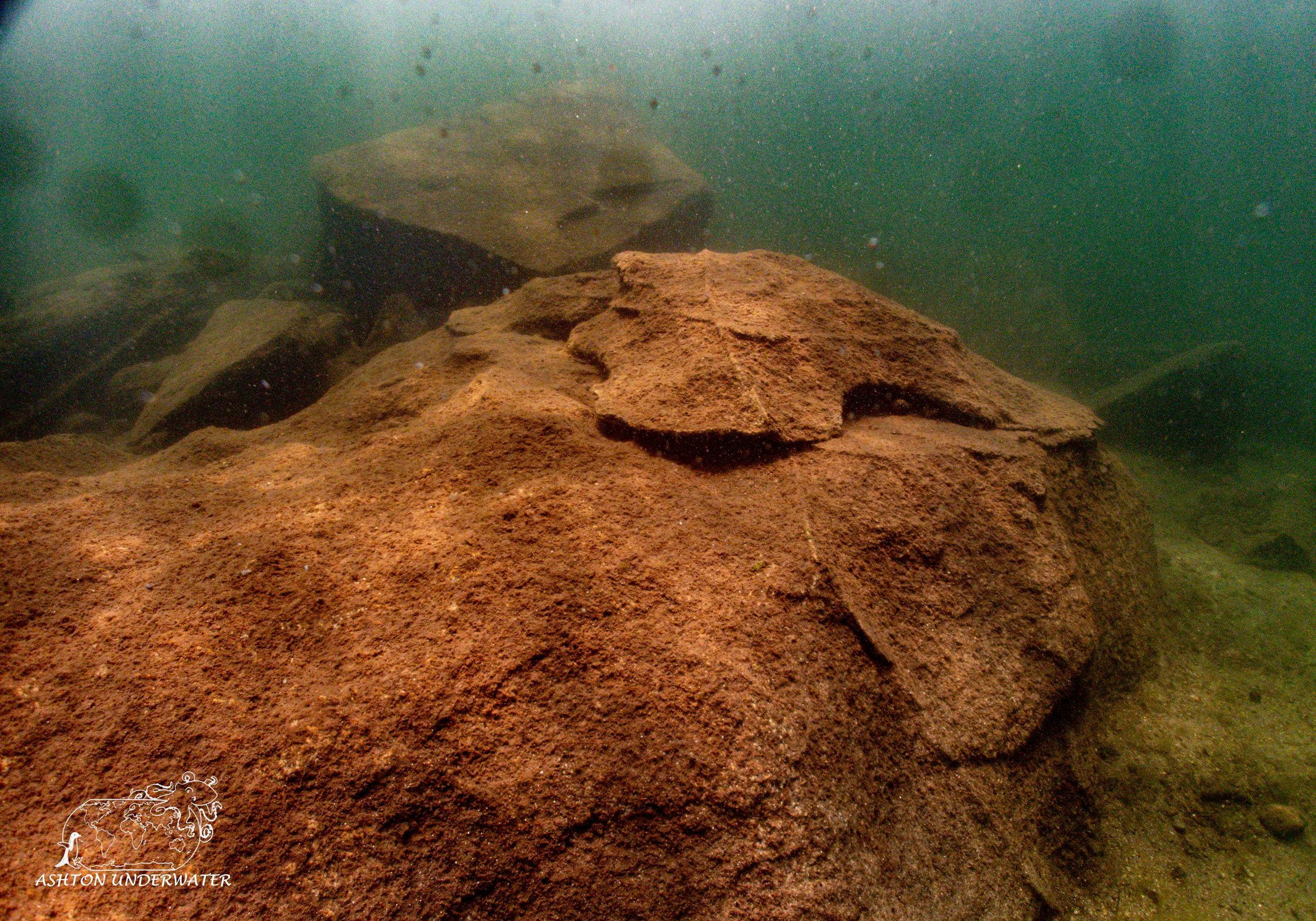
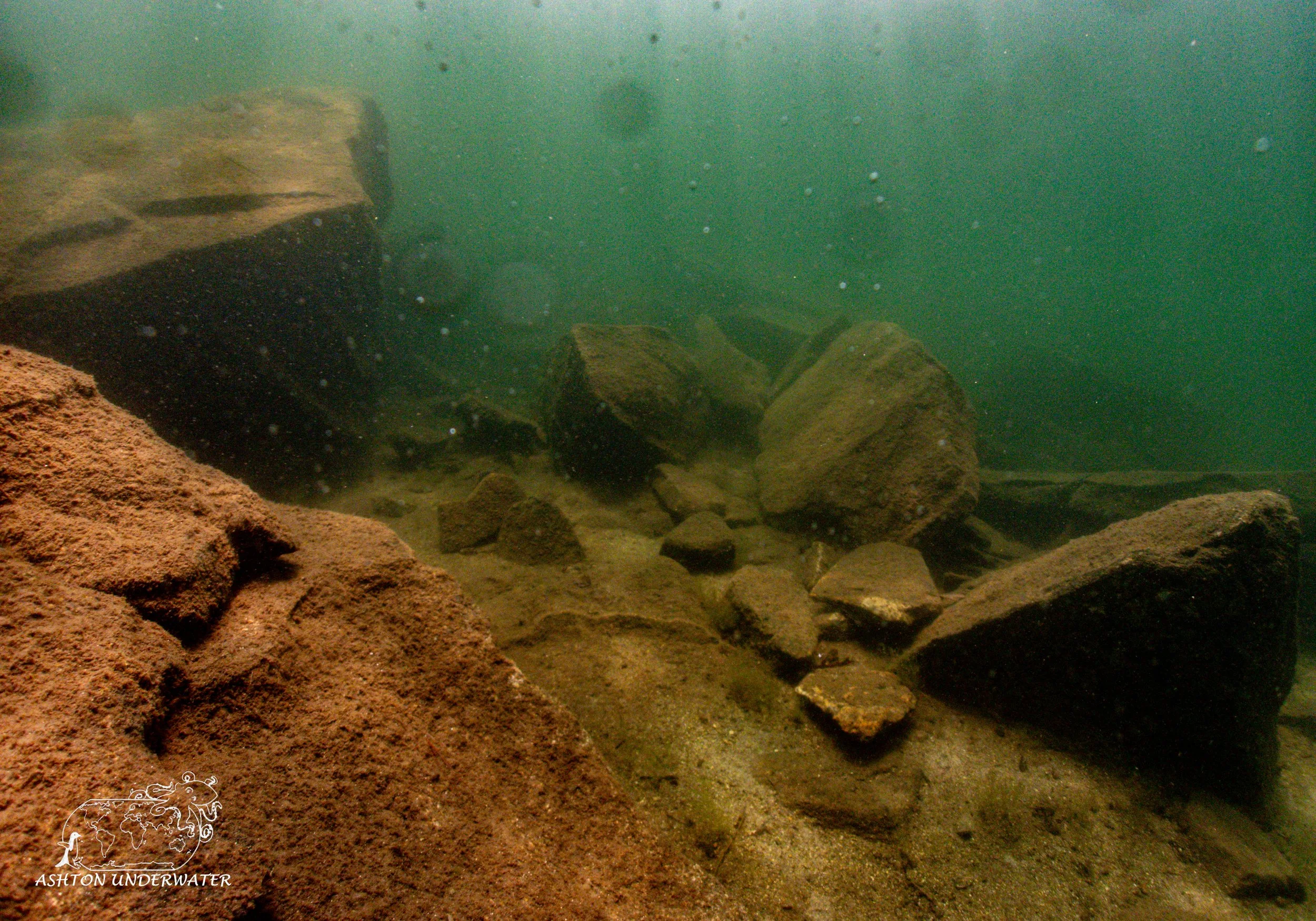
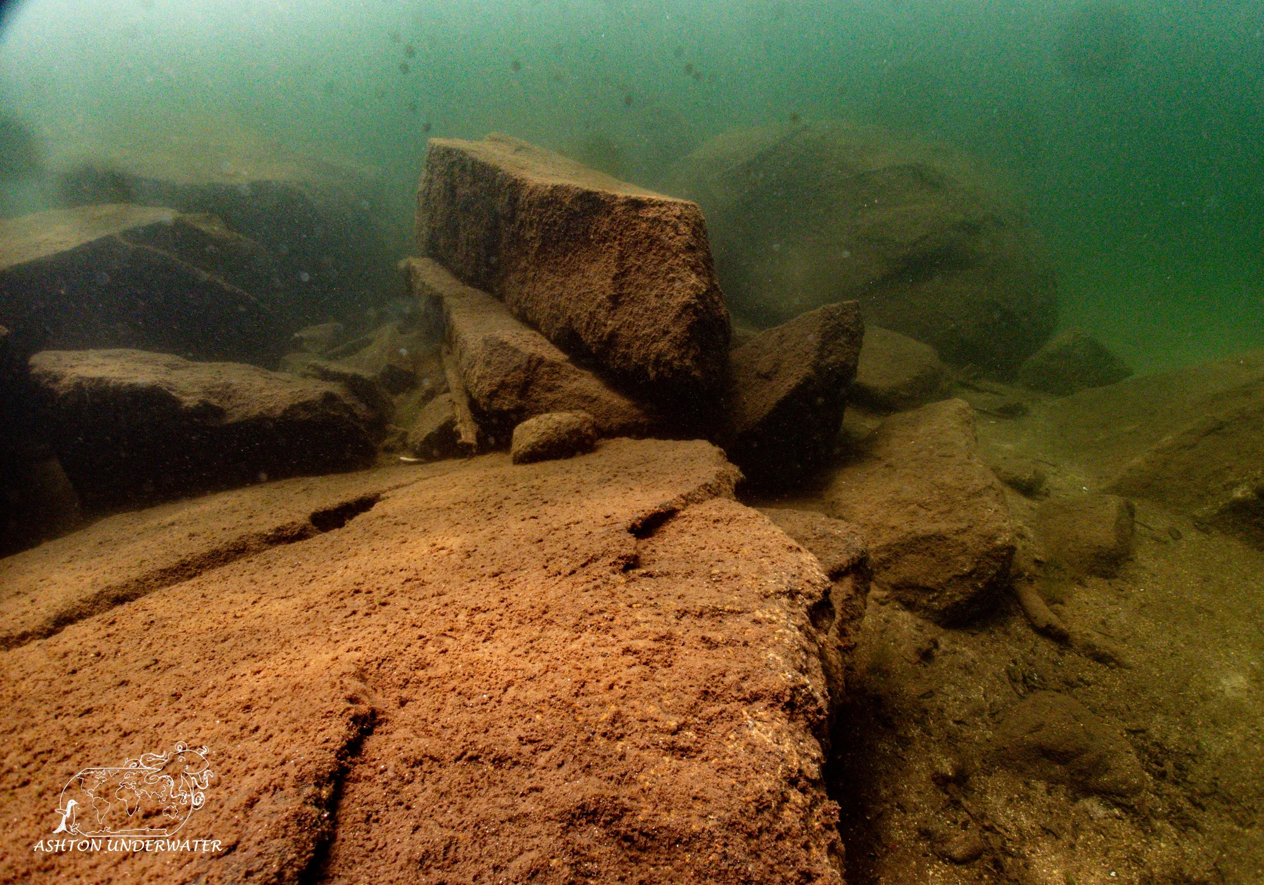
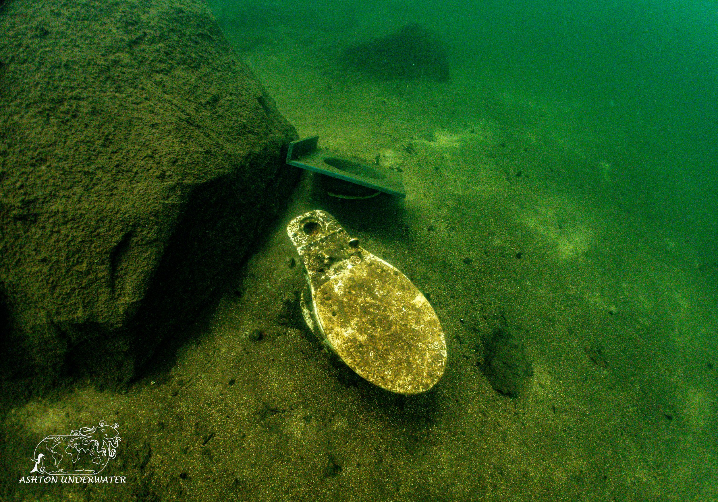
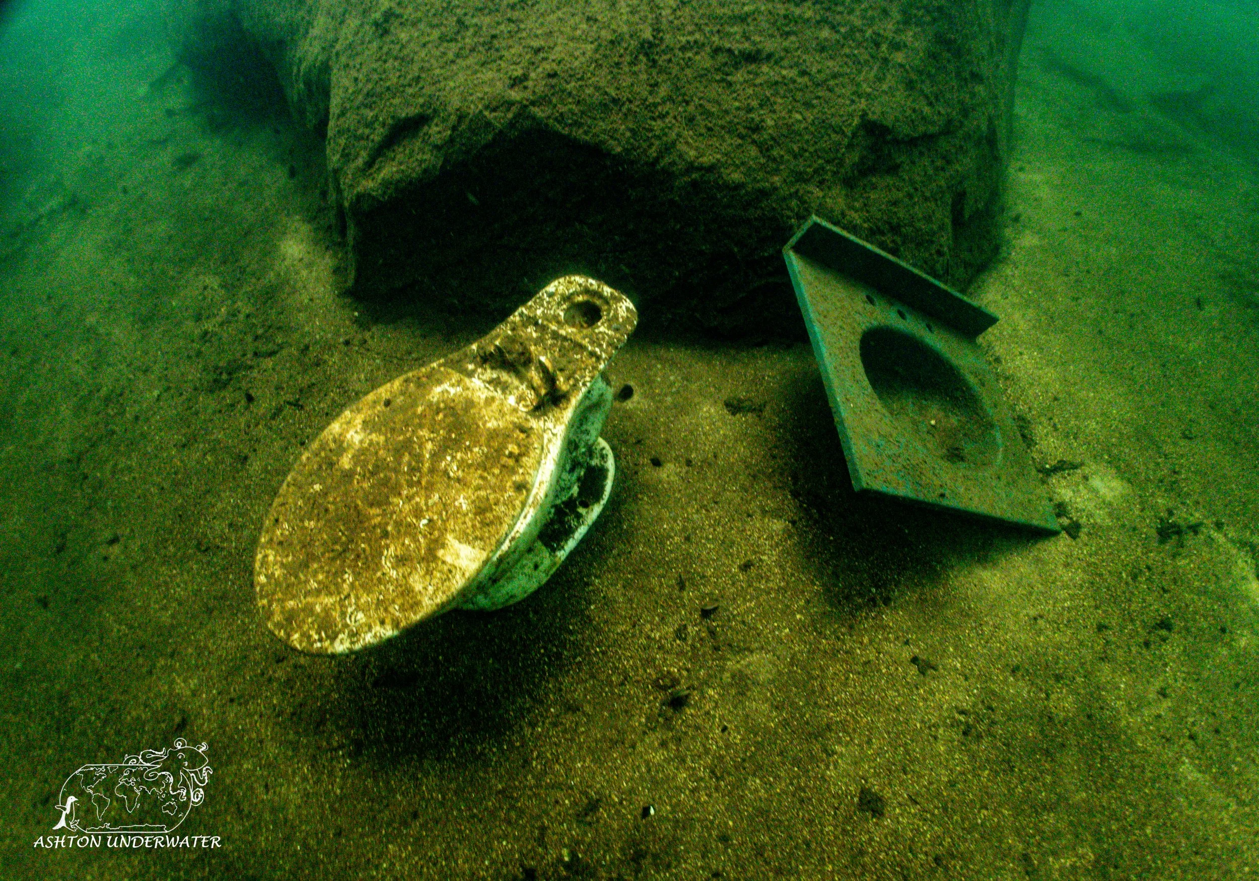
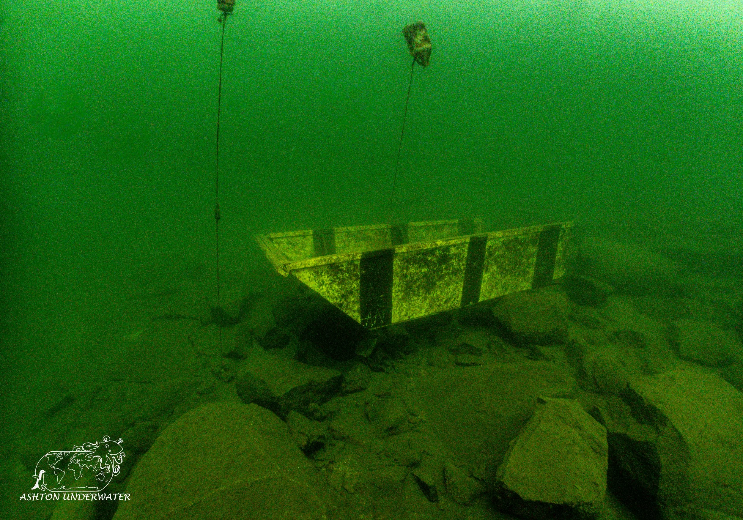
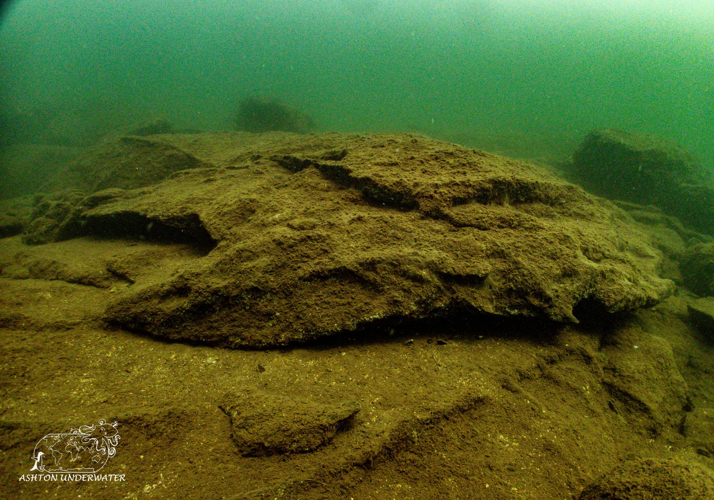
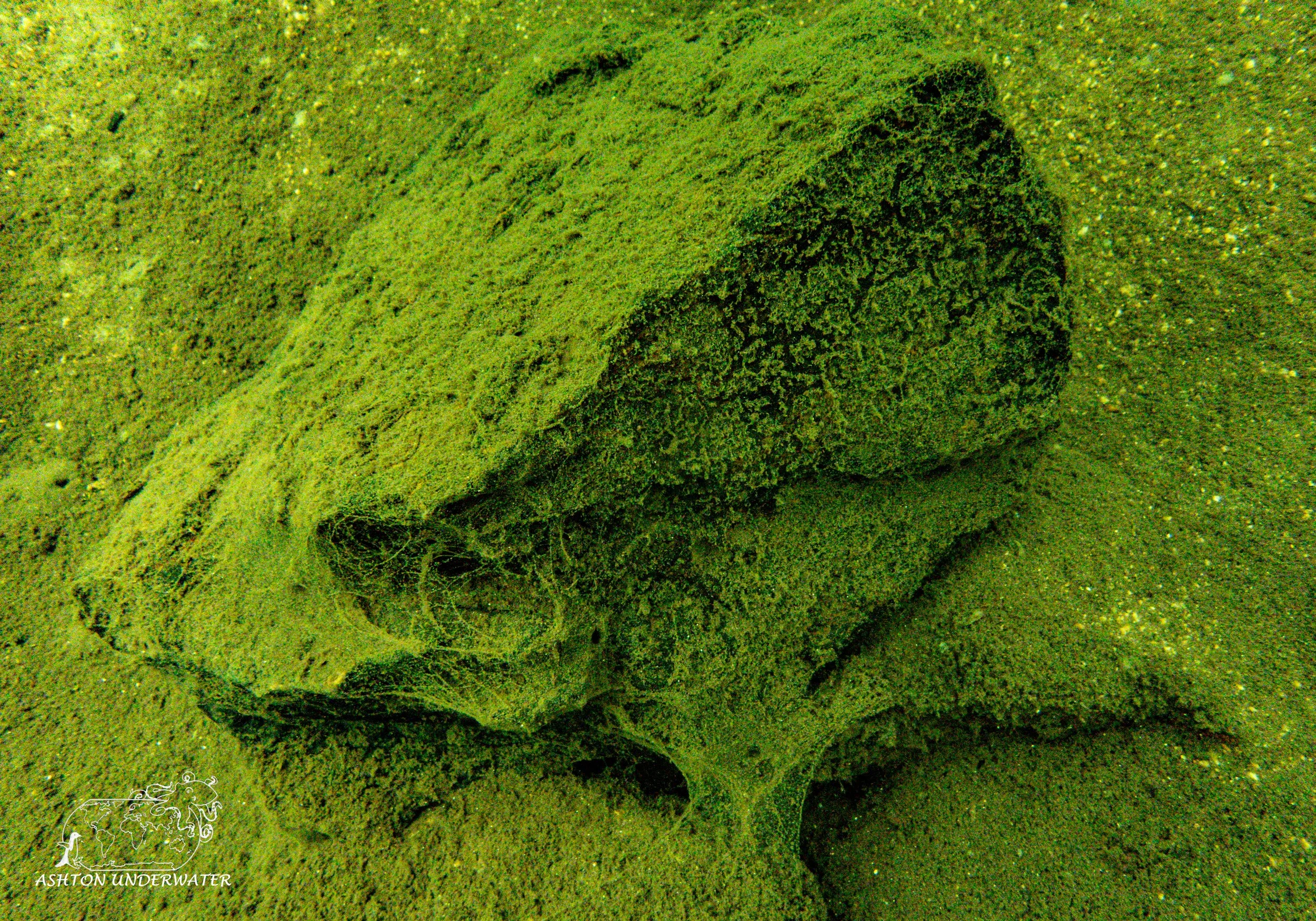
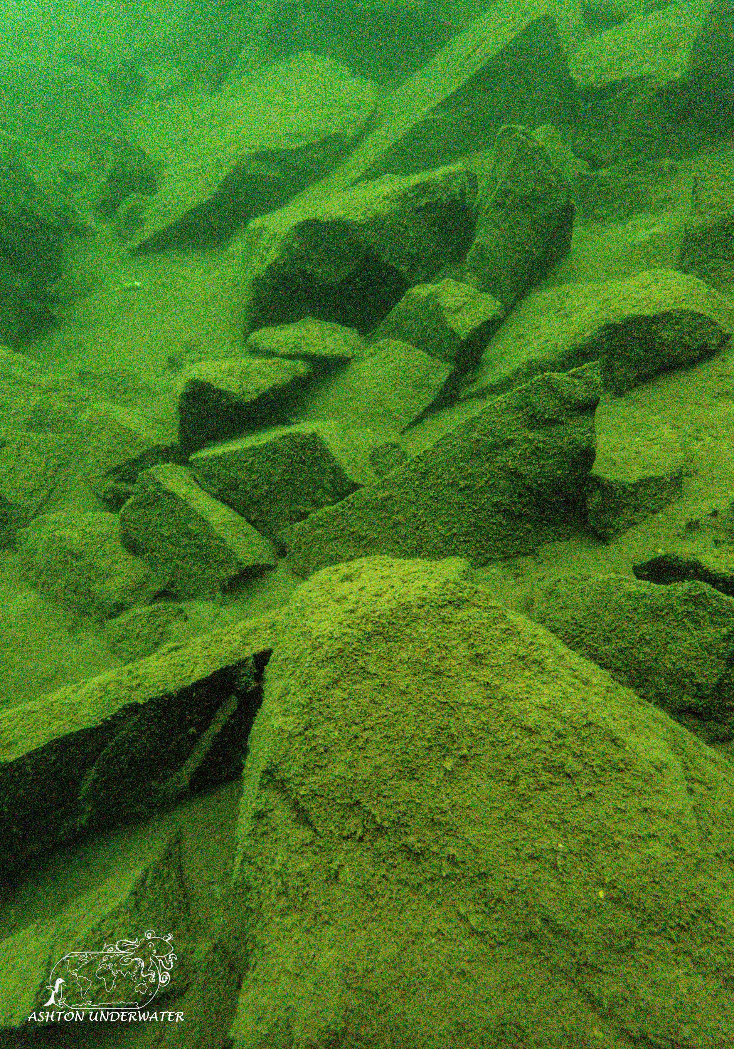
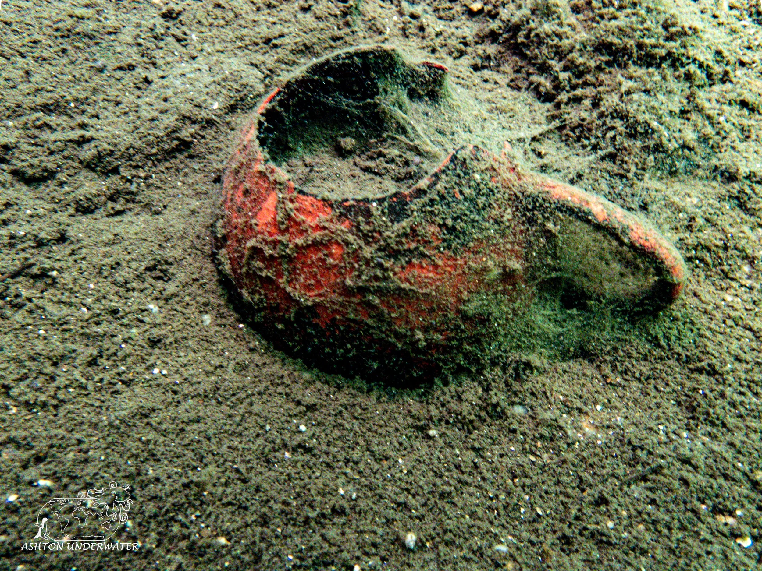
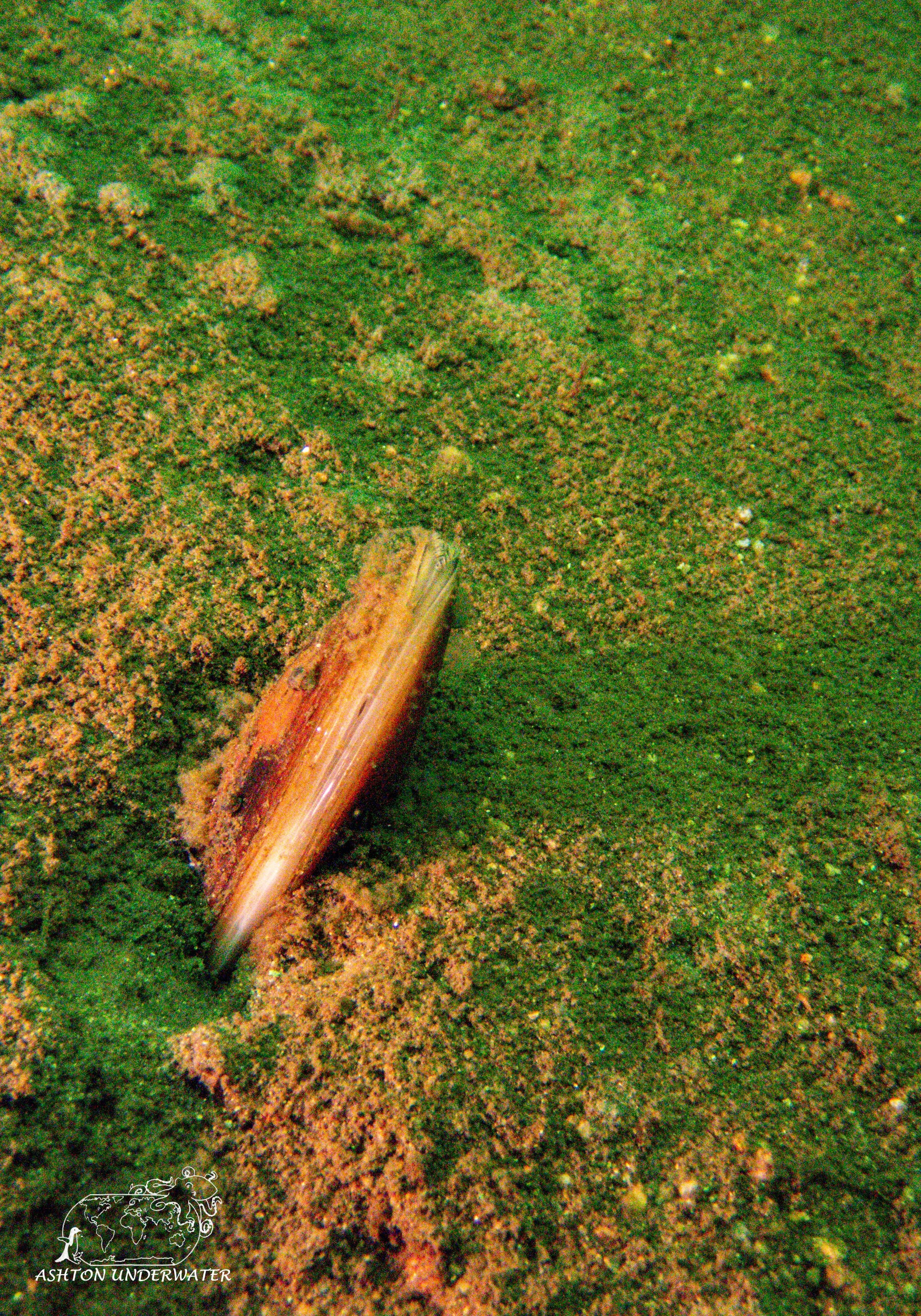
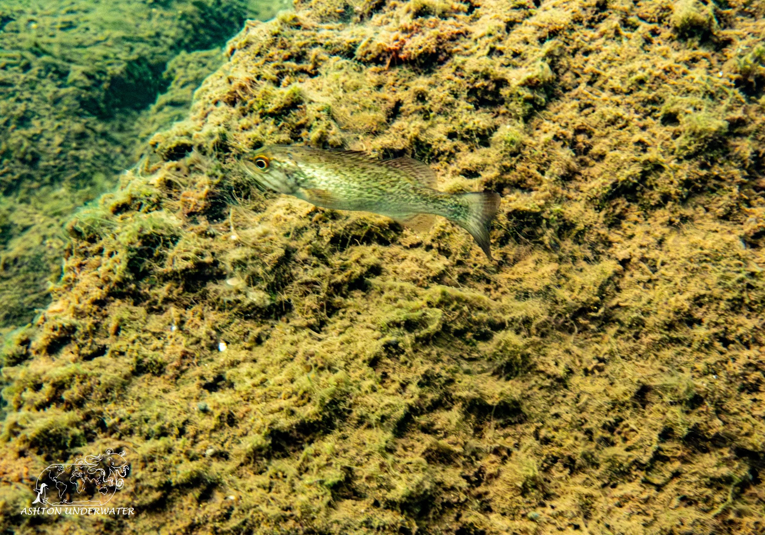
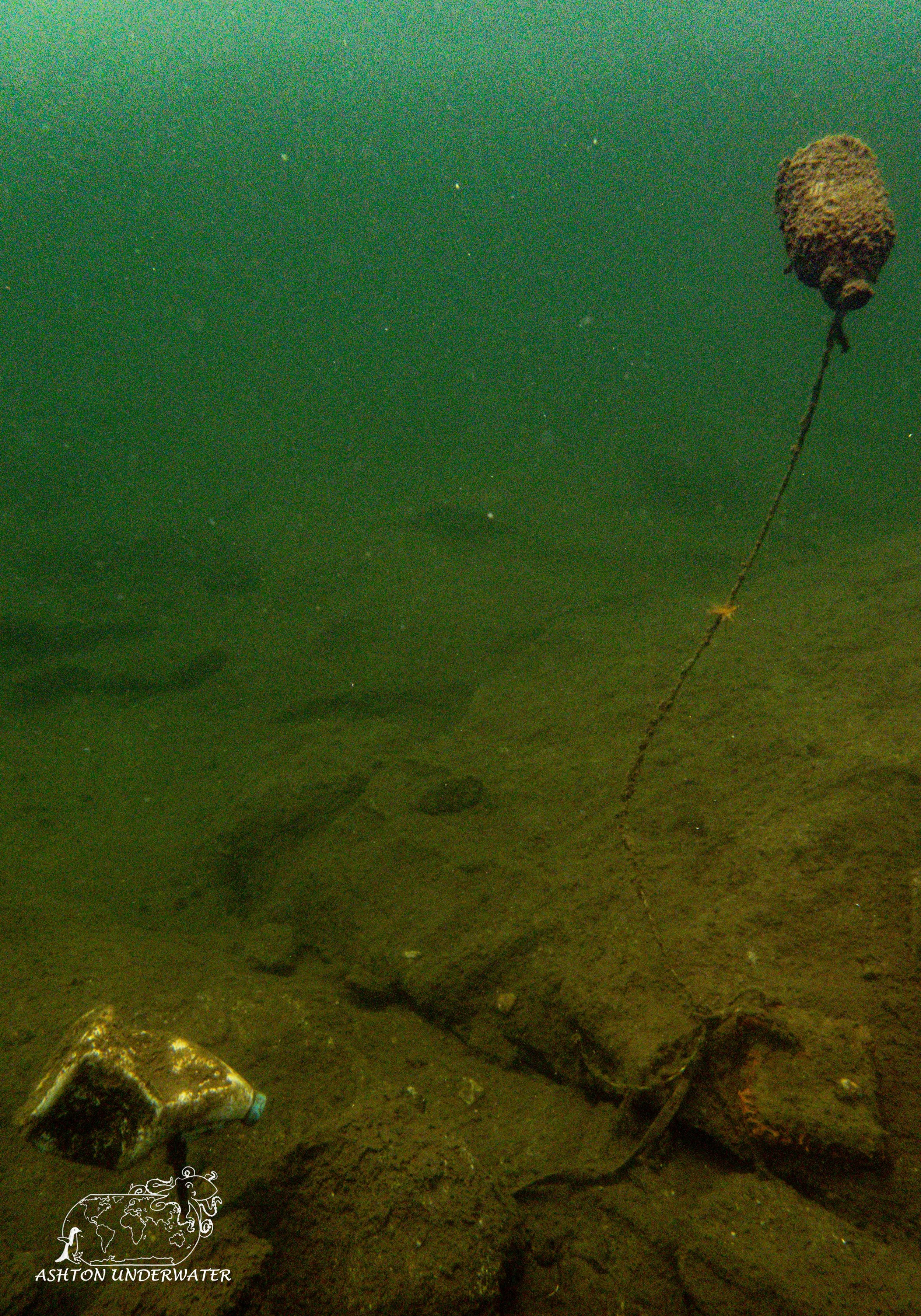
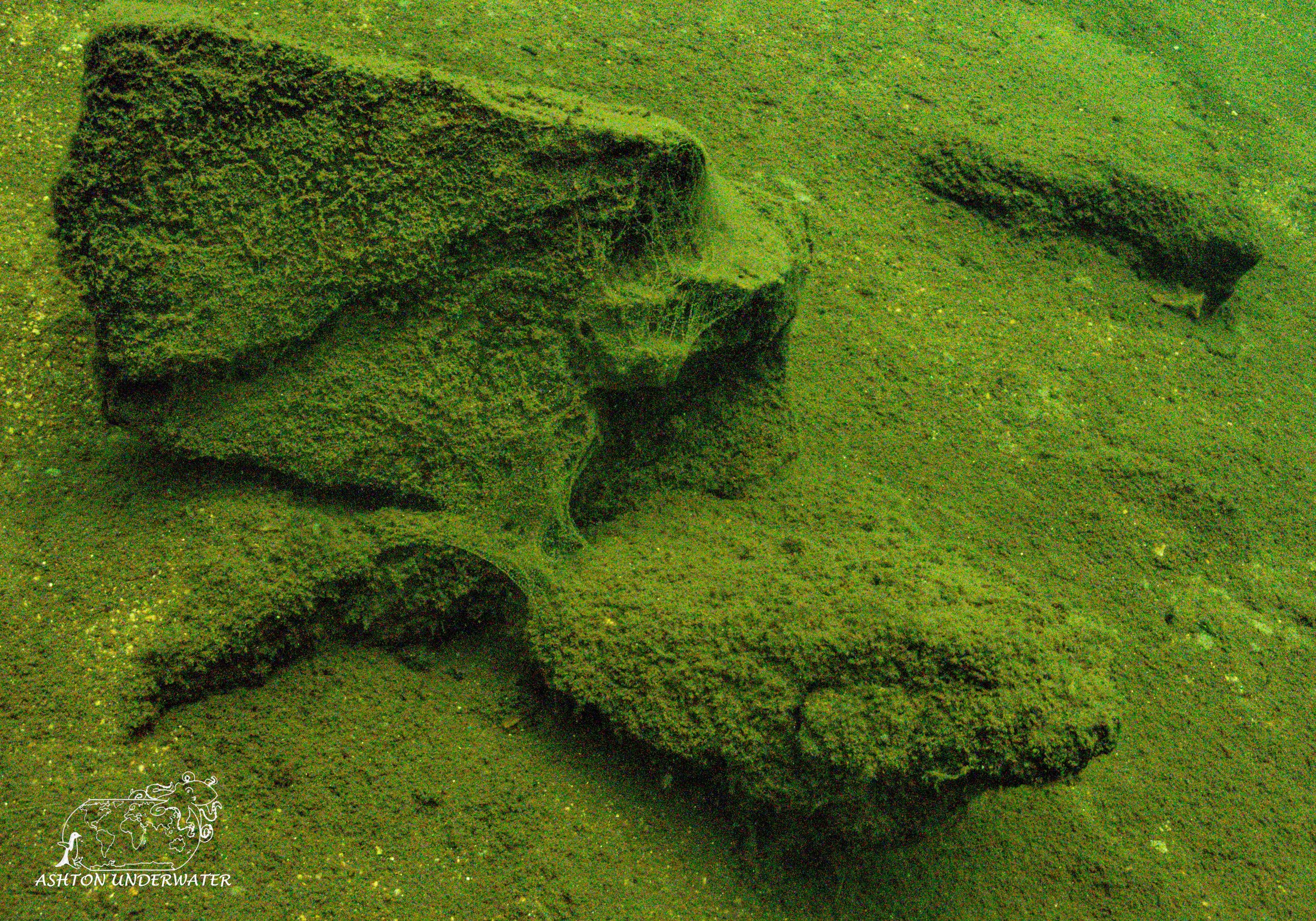
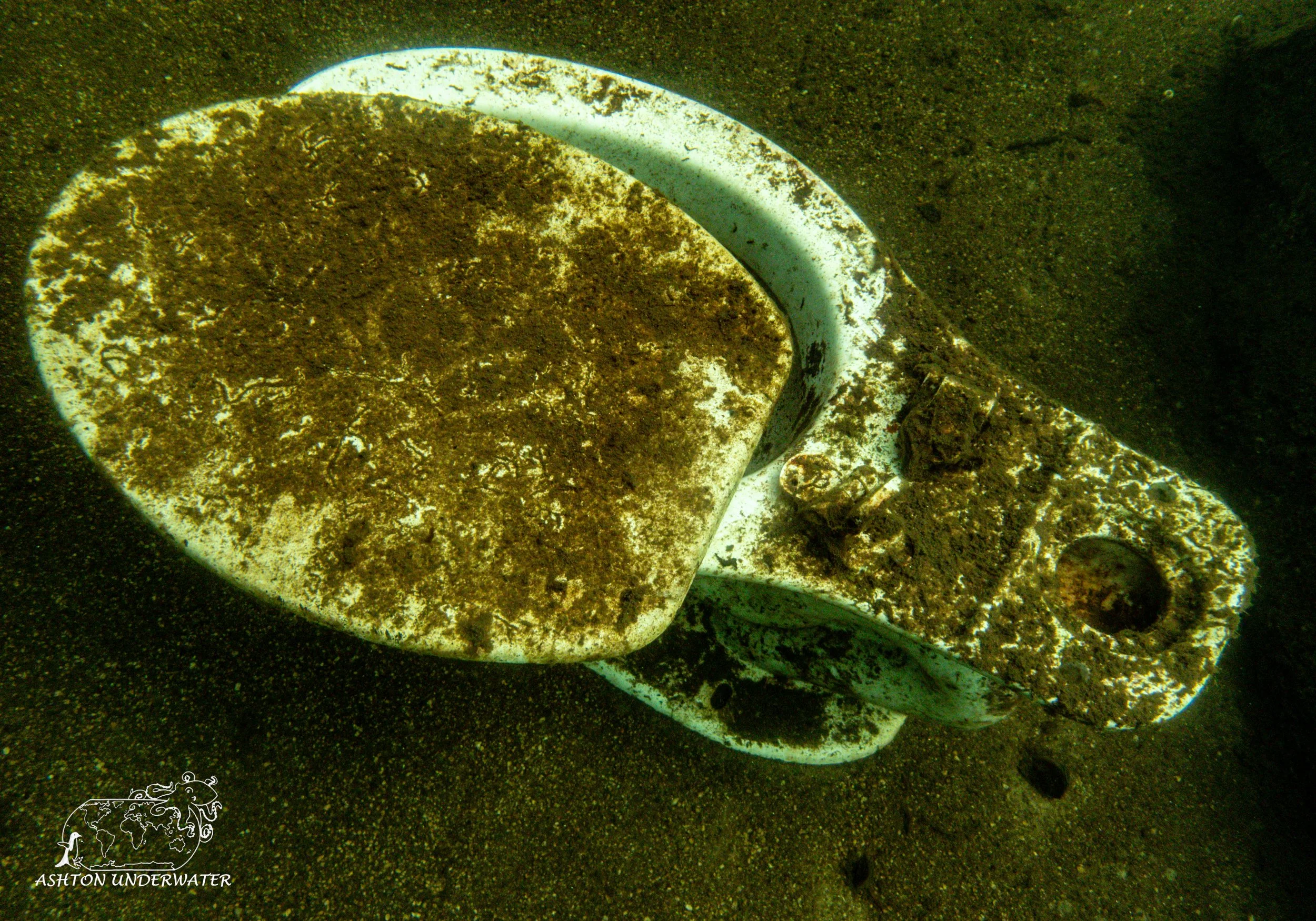
Descend and you can start swimming down the slope until you get to roughly 30’ start heading left. Along the swim there will be a toilet (because there is always a toilet) and sink, a bit on from there will be two suspended milk jugs in the water that will then lead you to the Winnipesaukee Bumblebee Wreck. A small boat frame sits in around 37’ of water. Inside is an old peanut butter container with a geocache form you can unroll and sign, adding your name to the list of divers who have found it. Other than the wreck, there are some cool rocks, a decent number of fish and a bunch of freshwater clams. The water was chilliest of the dives so far, but we also had the best visibility out of all five states.
We finished the dive, clambered back up the slope and went to drop tanks off at Dive Winnipesaukee dive shop to get air fills. While we waited, we enjoyed having dinner outside at a nearby bar. After loading everything back up into the car, we drove to Portsmouth, New Hampshire and relaxed before the big Maine adventure that was to come.
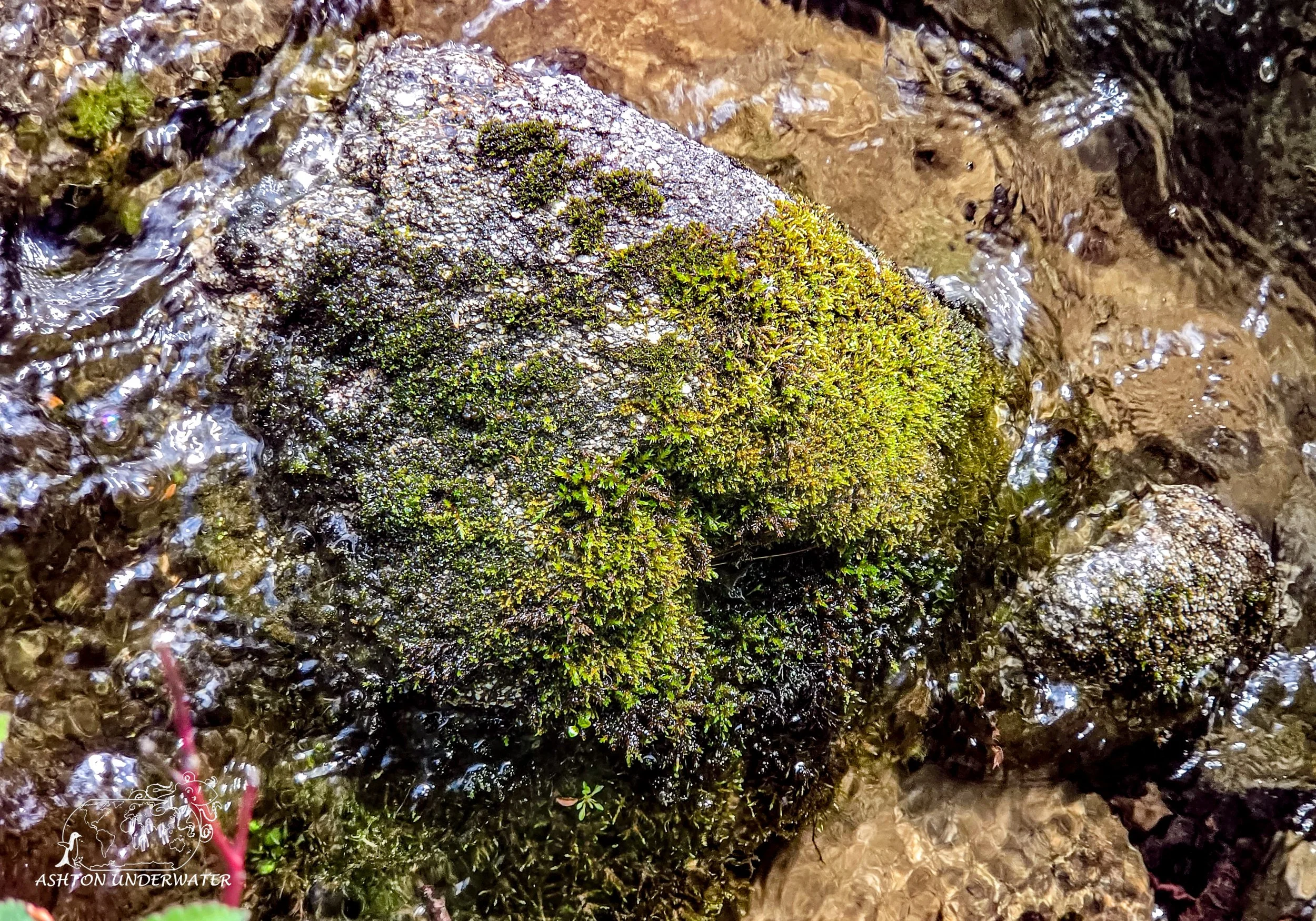
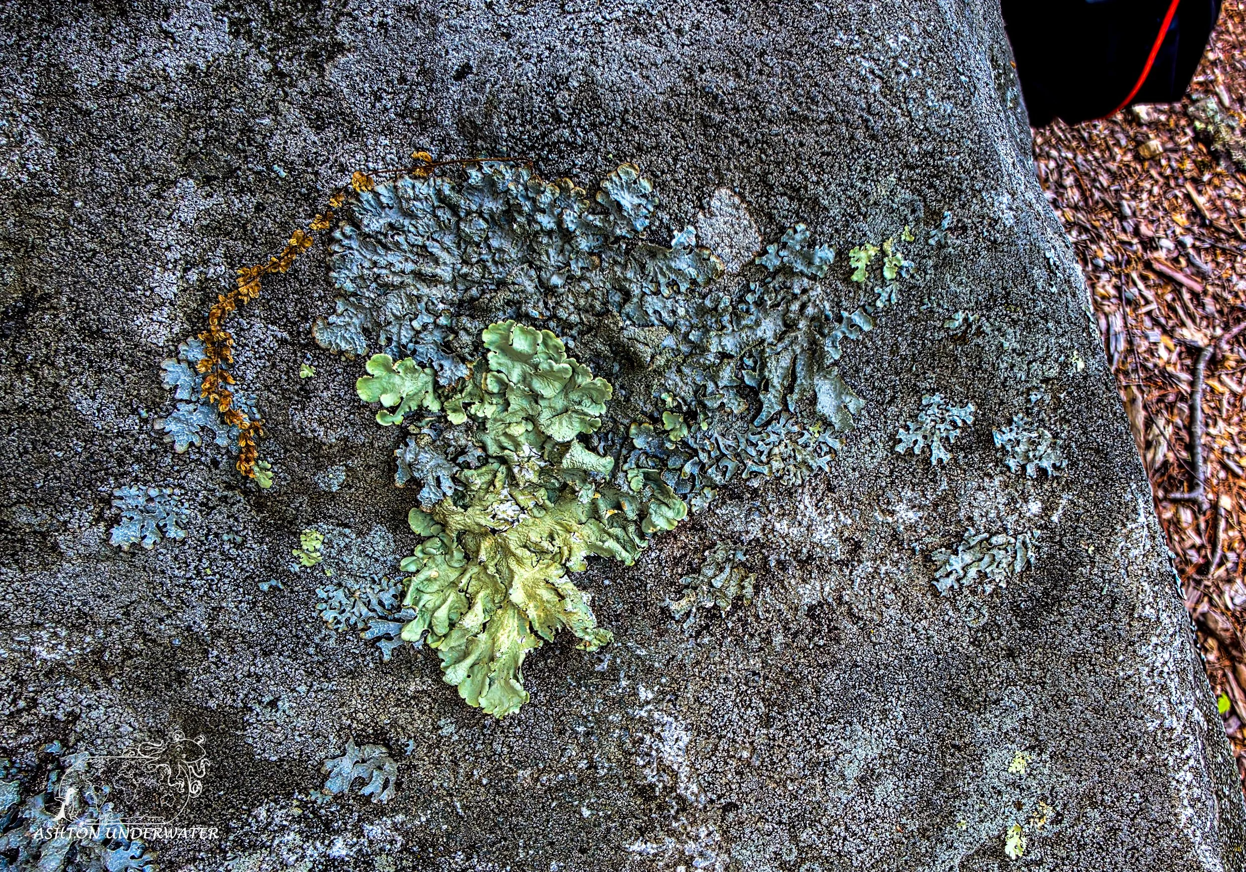
Leg Five: New Hampshire to Maine
Waking up the morning was uneventful; we made our way to the Nubble Lighthouse.
Cape Neddick Light Station was built in 1879 and sits on a small rocky island near Cape Neddick. It’s 41’ tall and is one of the most photographed lighthouses in all of Maine. The lighthouse was manned by 13 different lighthouse keepers and their families until 1987 when it was automated and no longer needed a keeper to maintain it. It is one of 8 lighthouses in Maine that still uses its original Fresnel lens. This takes a curved lens and splits it into several concentric ring sections, reducing the weight and thickness of the glass while still allowing it to focus light. The other light houses are Bass Harbor, Browns, Fort Point, Owls Head, Pemaquid Point, Seguin Island (the largest in Maine), and West Quoddy.
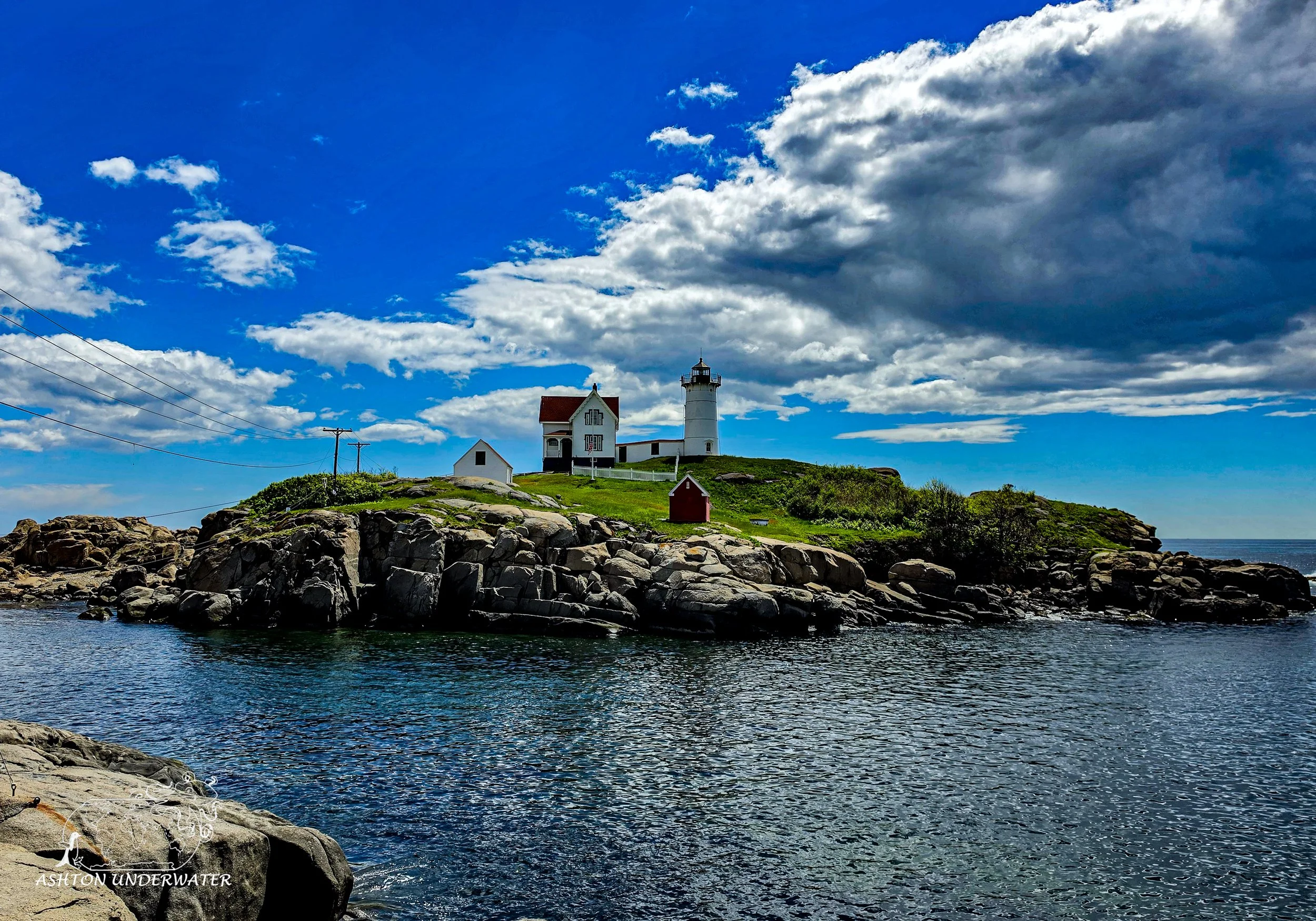
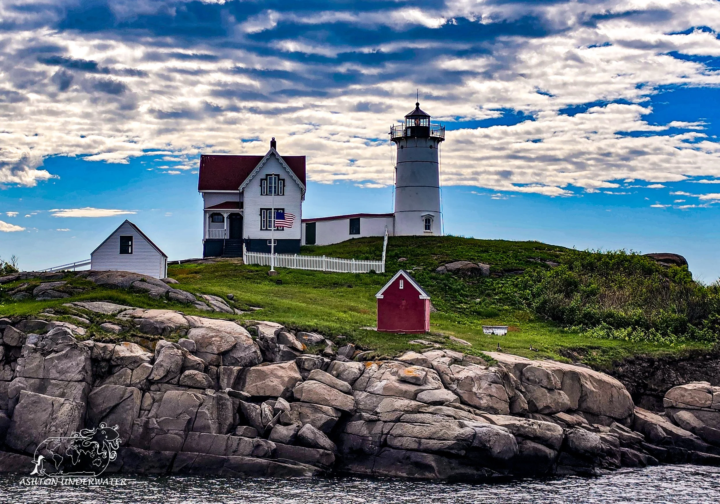
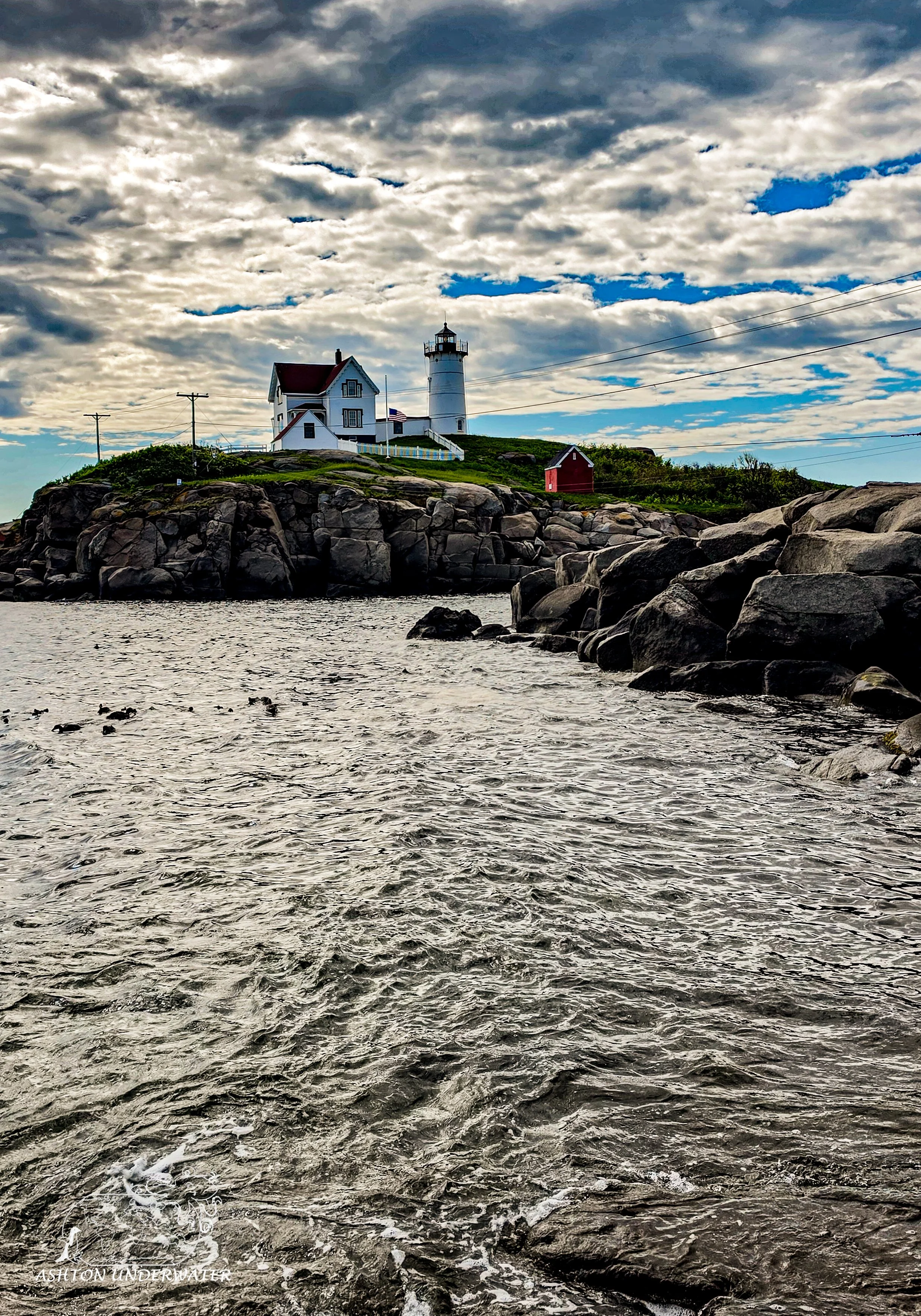
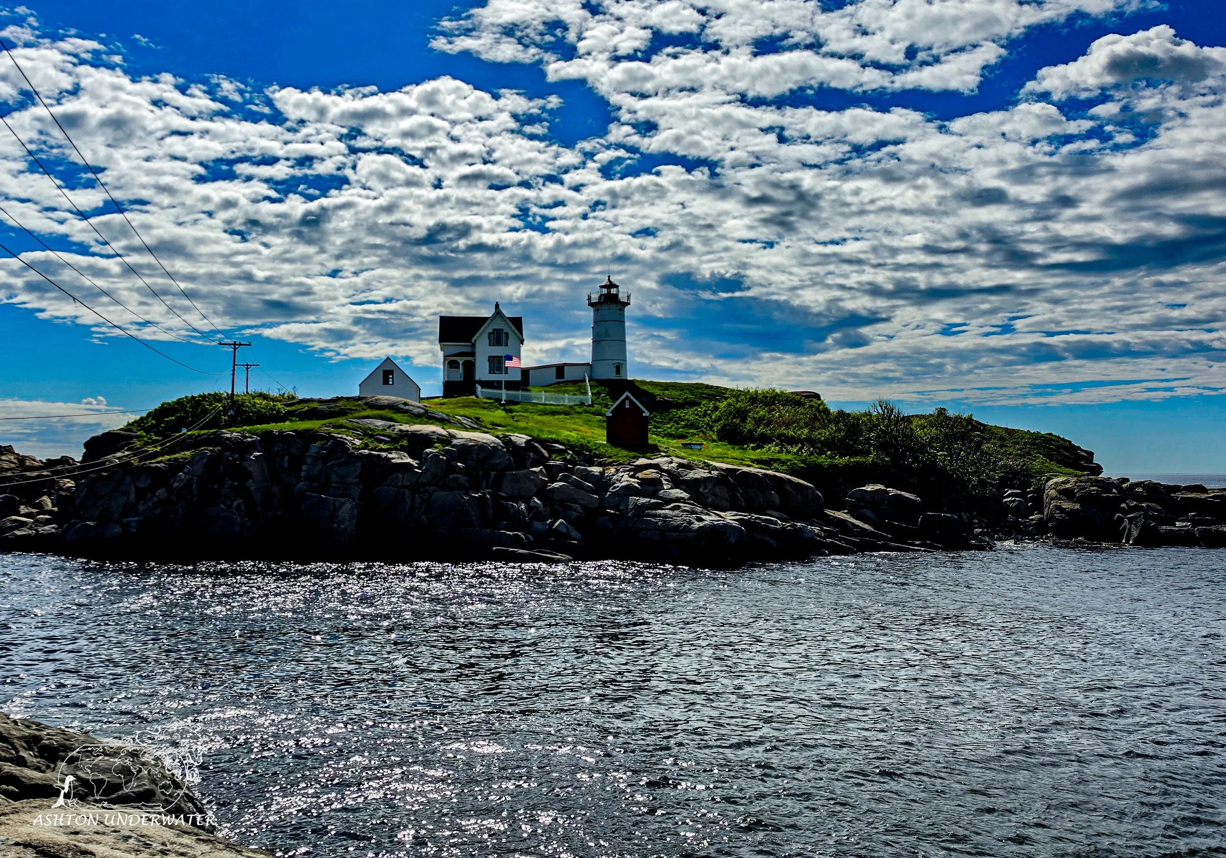
Nubble Lighthouse
York, Maine
43.1659, -70.5925
40’ for 38 minutes, 46°
May 28th
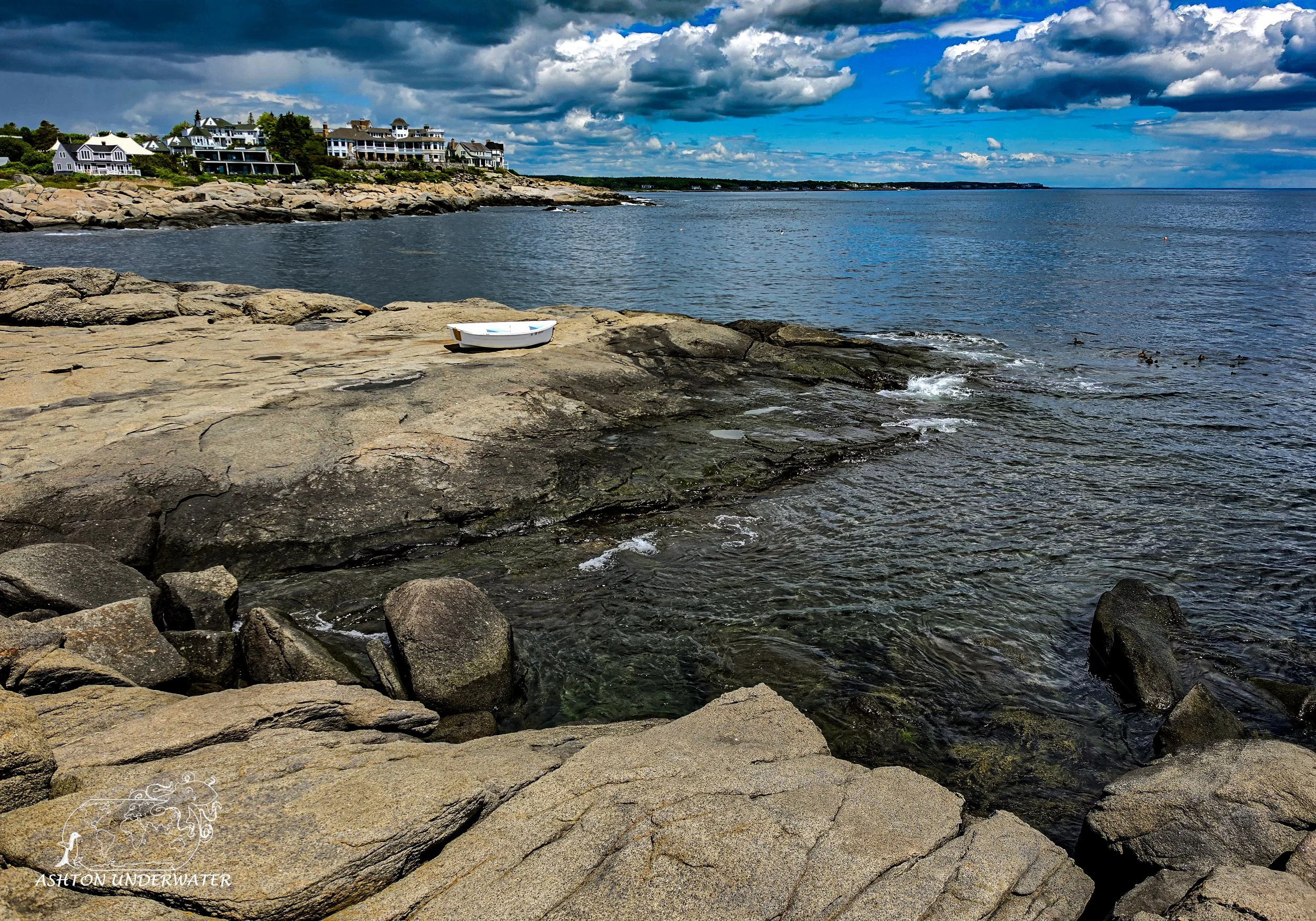
Diving at Nubble is only allowed Monday-Saturday except during the winter months. There is ample parking and there is an obvious entry point into the water, however it is very slick and there are not many hand holds to use while sliding in. Once you enter the water it drops down fairly quickly and there are two routes to follow. The first is to swim west along the wall until you hit the channel between the main island, swim through the channel and go northish keeping the new wall on your right. The other option is to go to the left and follow the main island wall along before turning around and following the wall back. It’s possible to swim around Nubble Island, however the far side of the island can have stronger current and deeper depths, so more care is required.
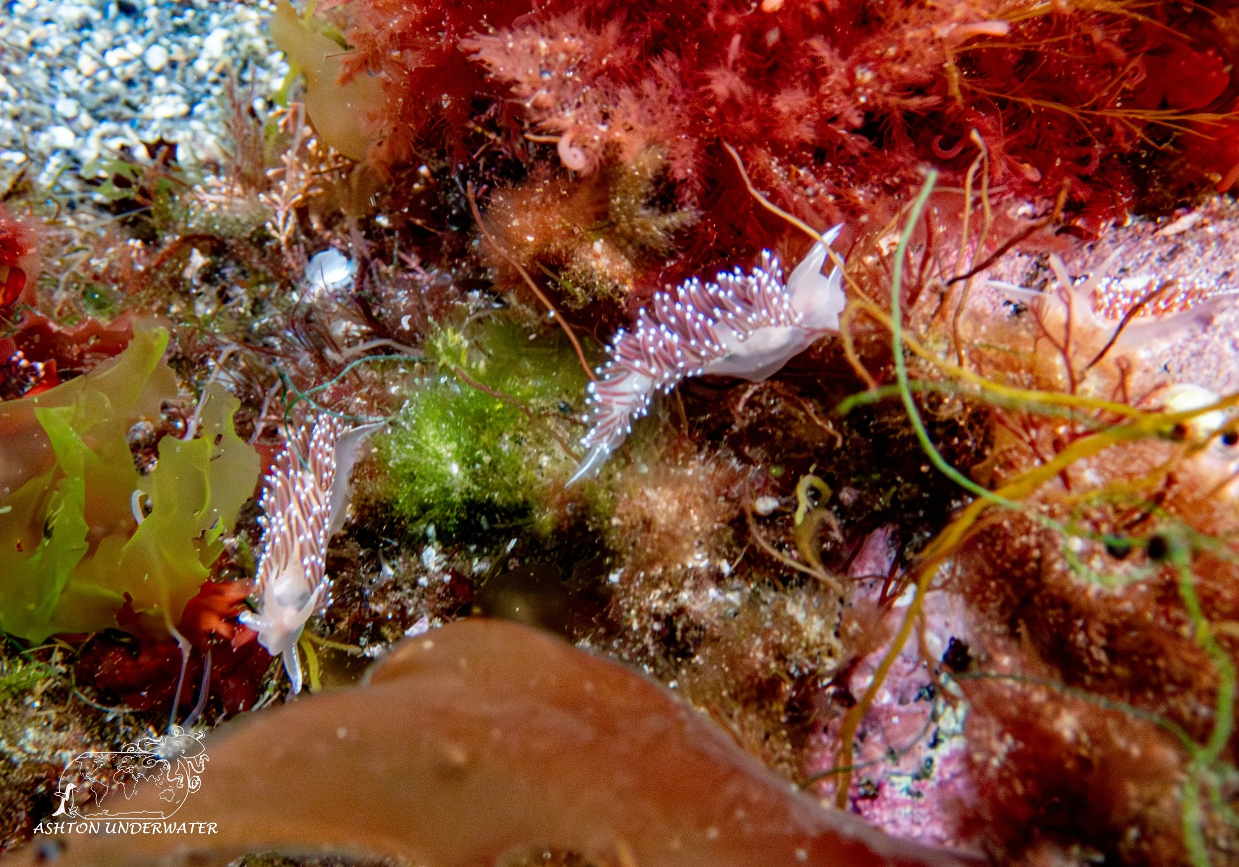
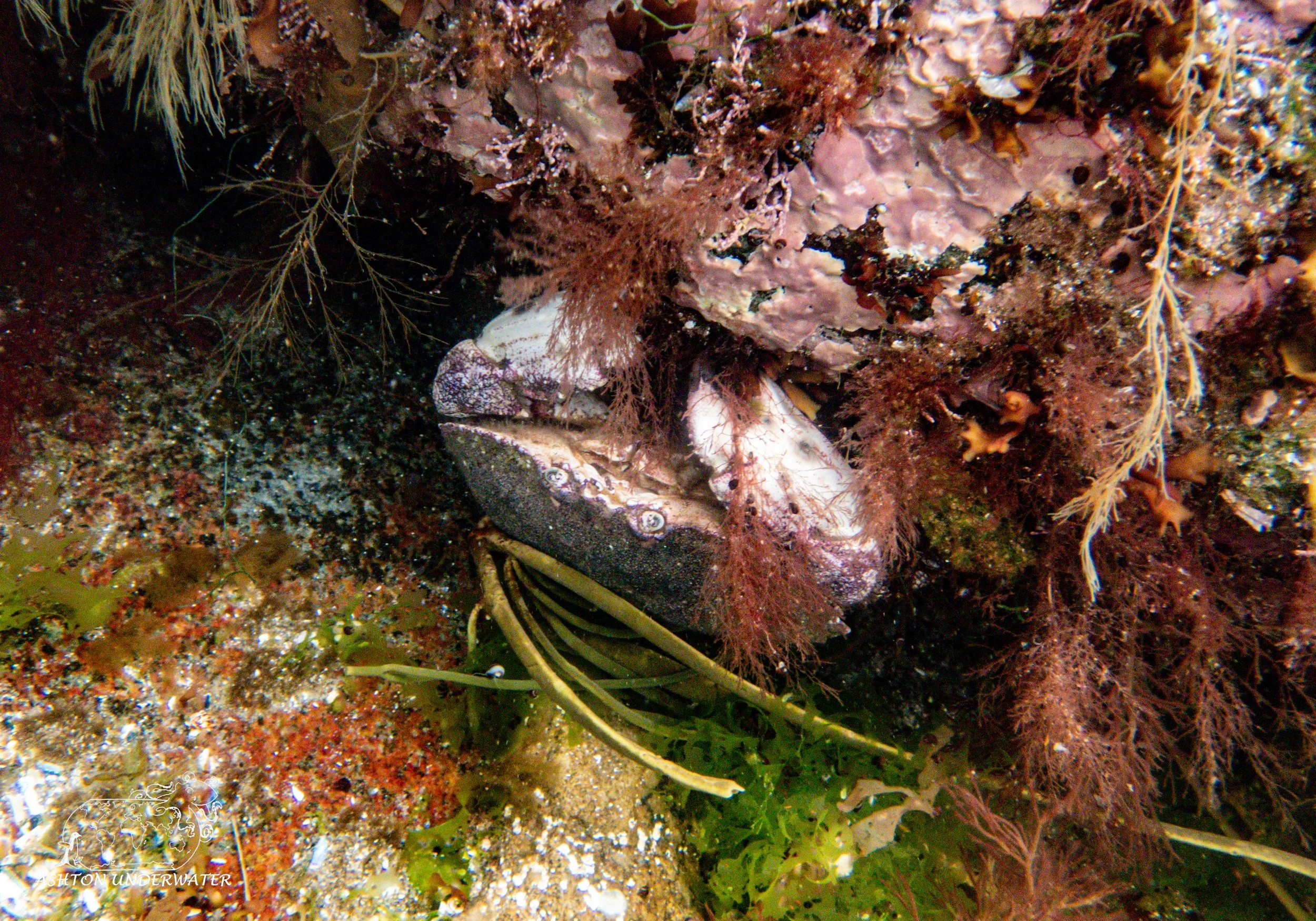
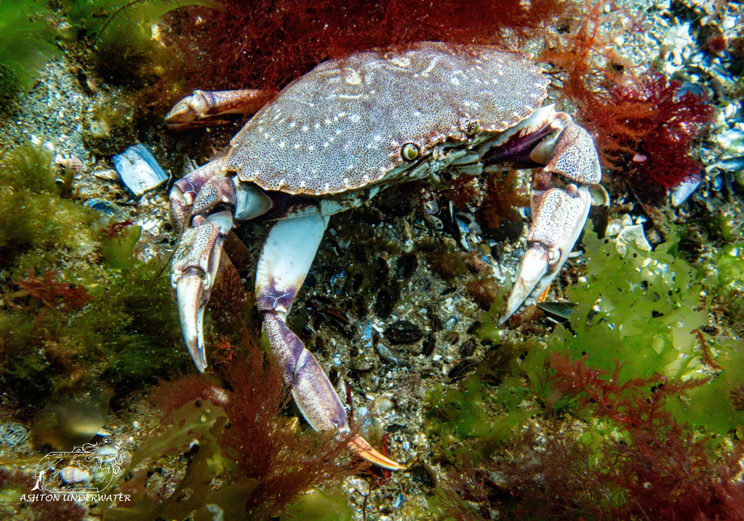
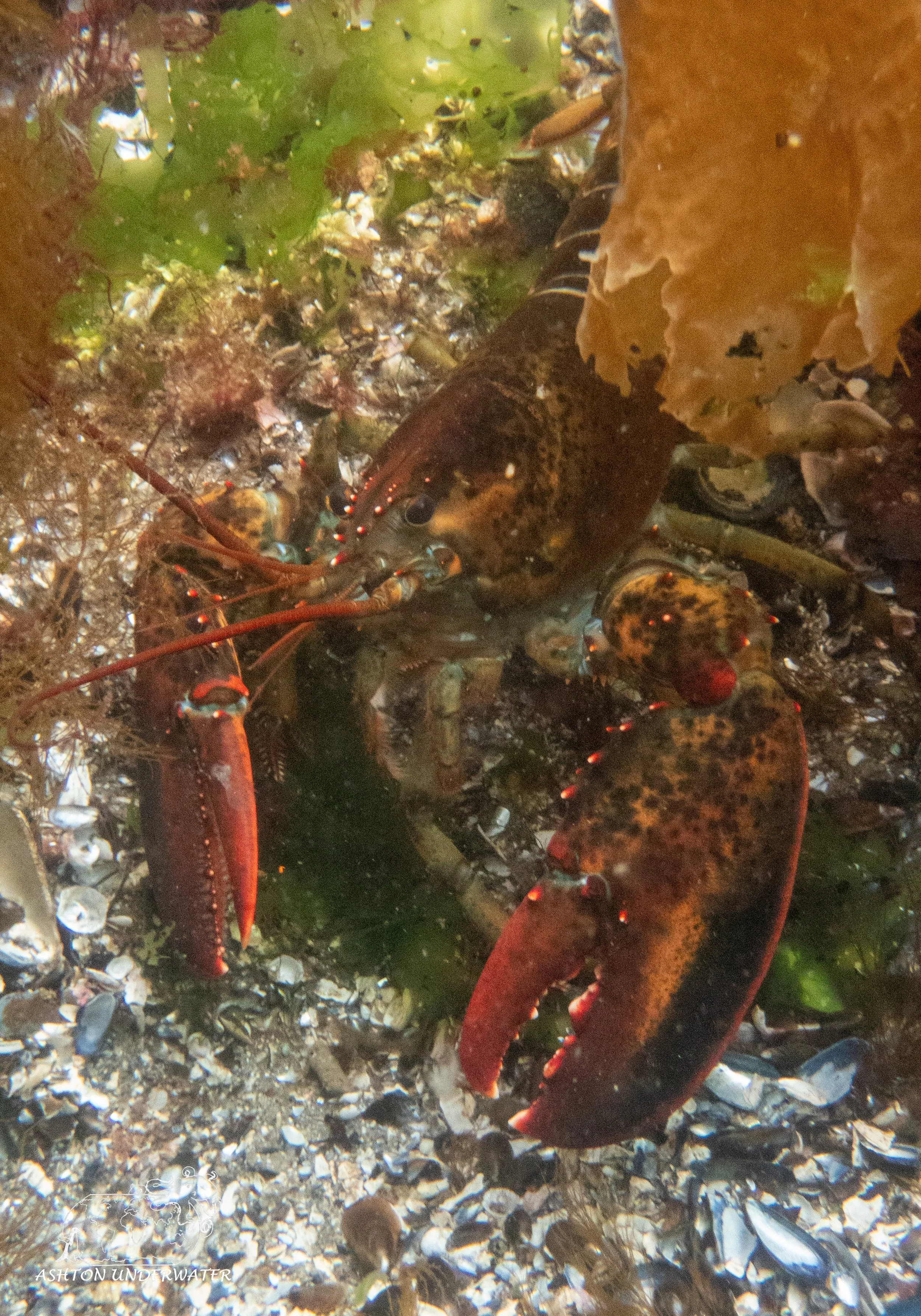
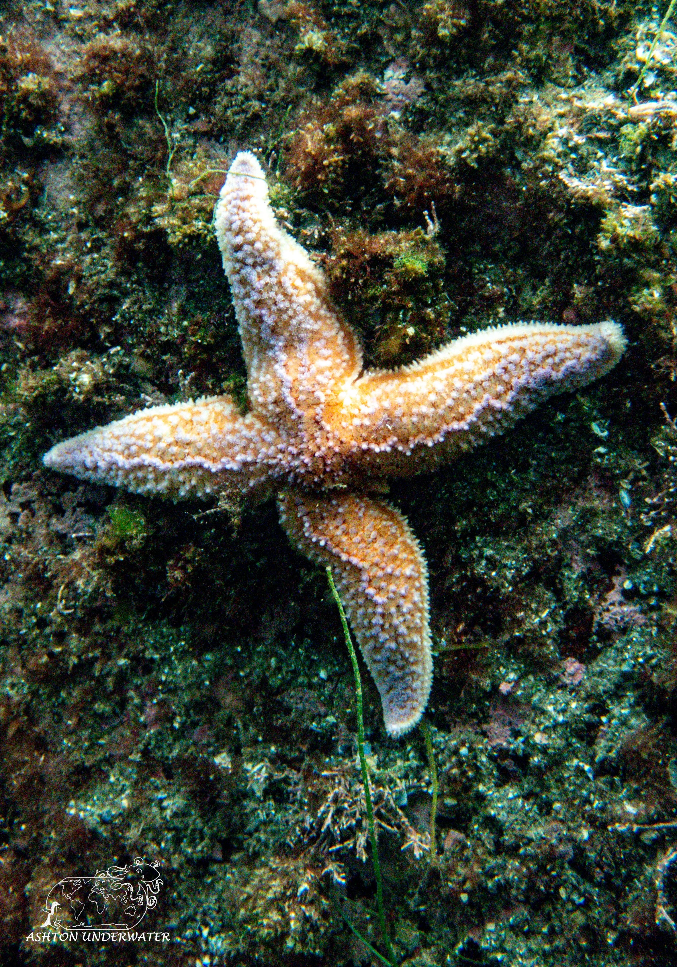
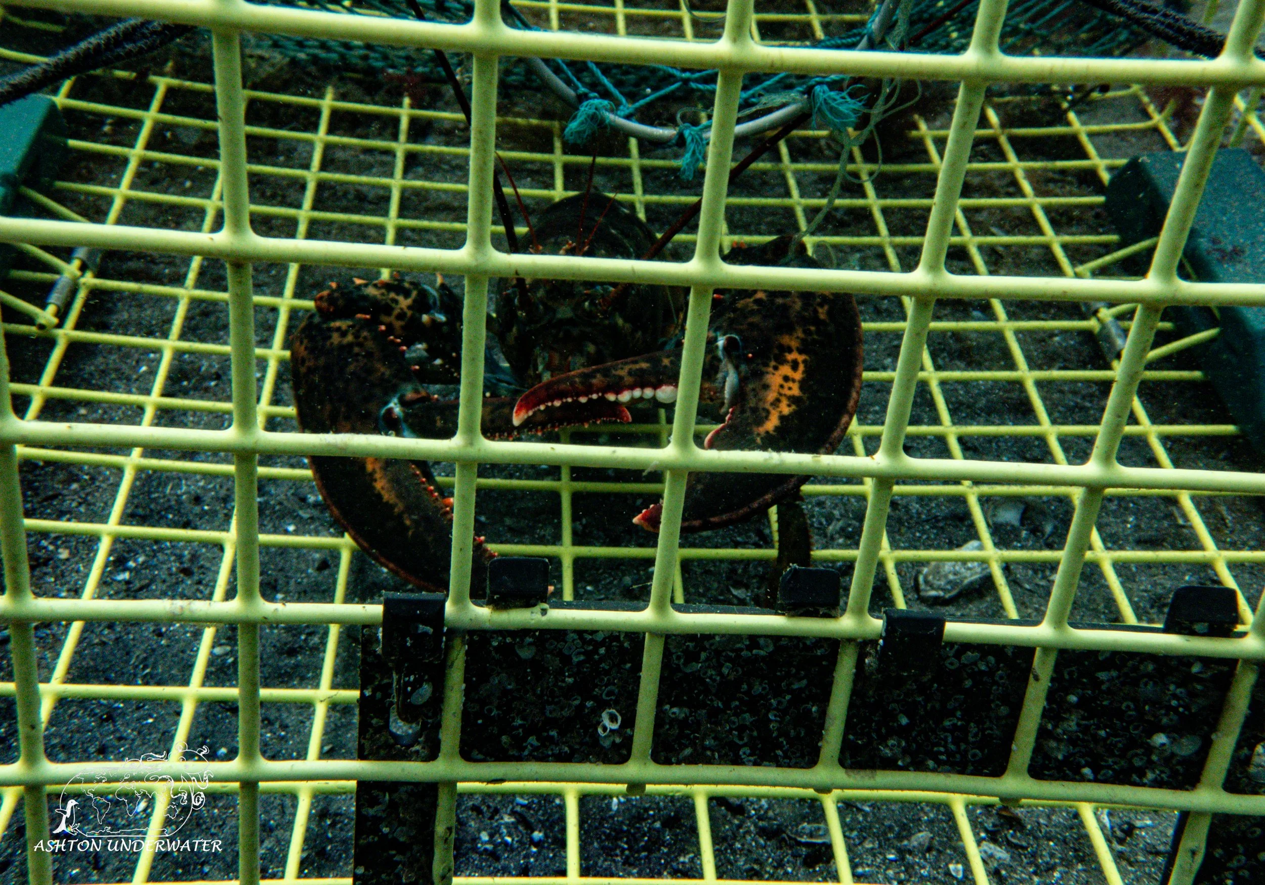
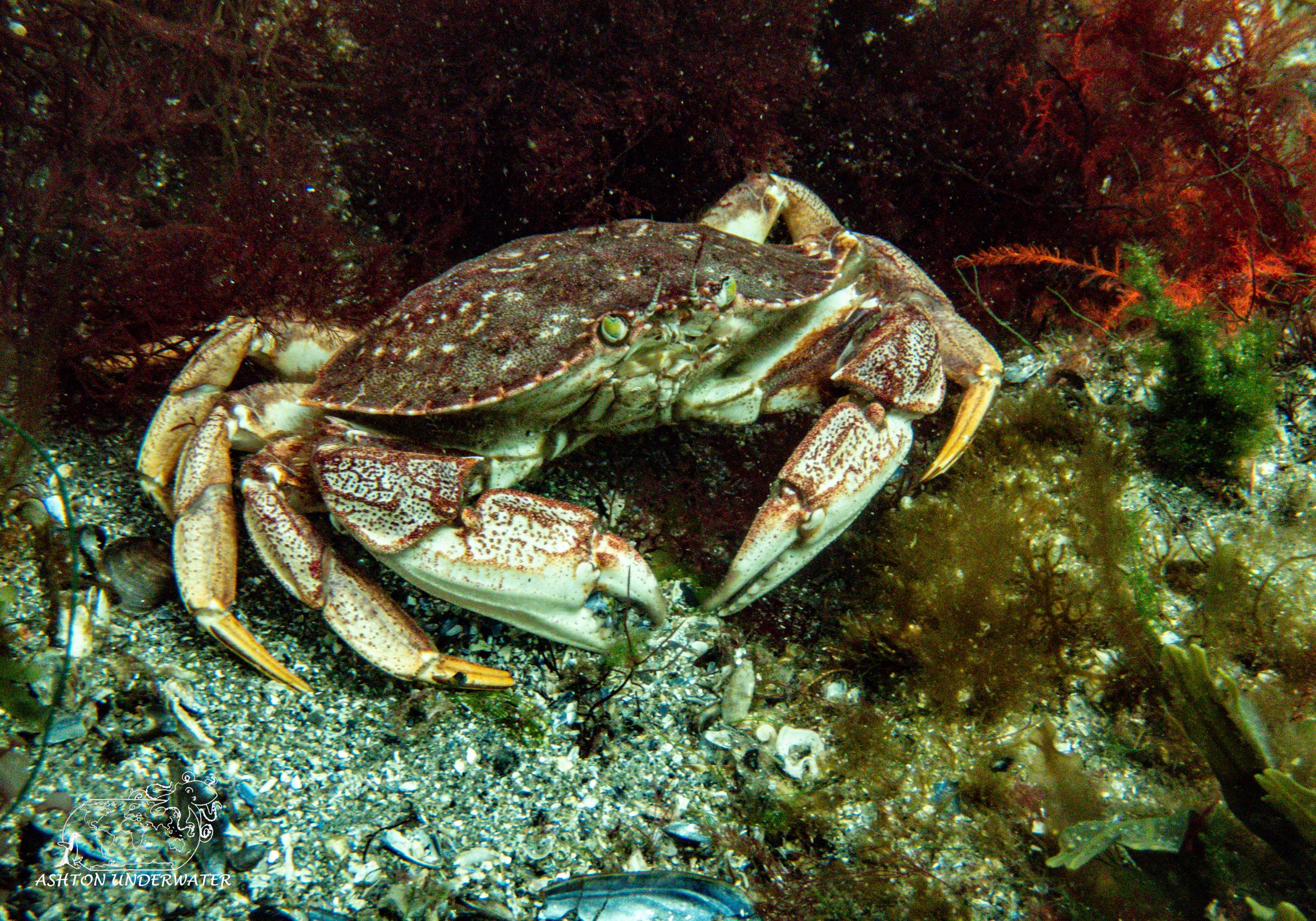
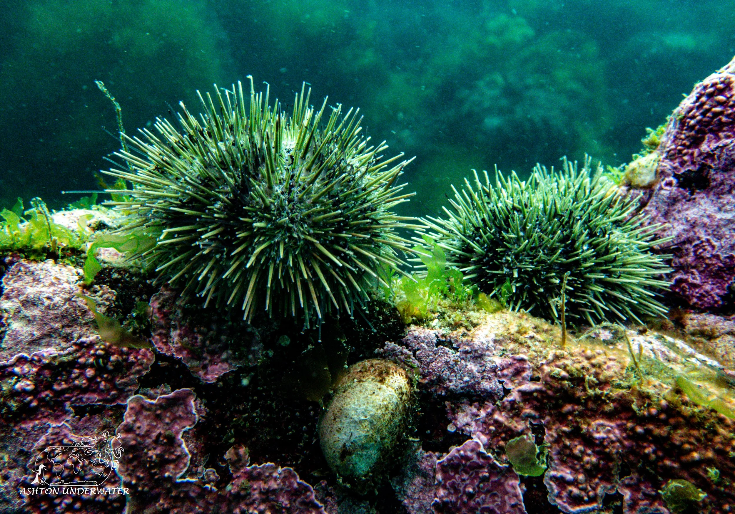
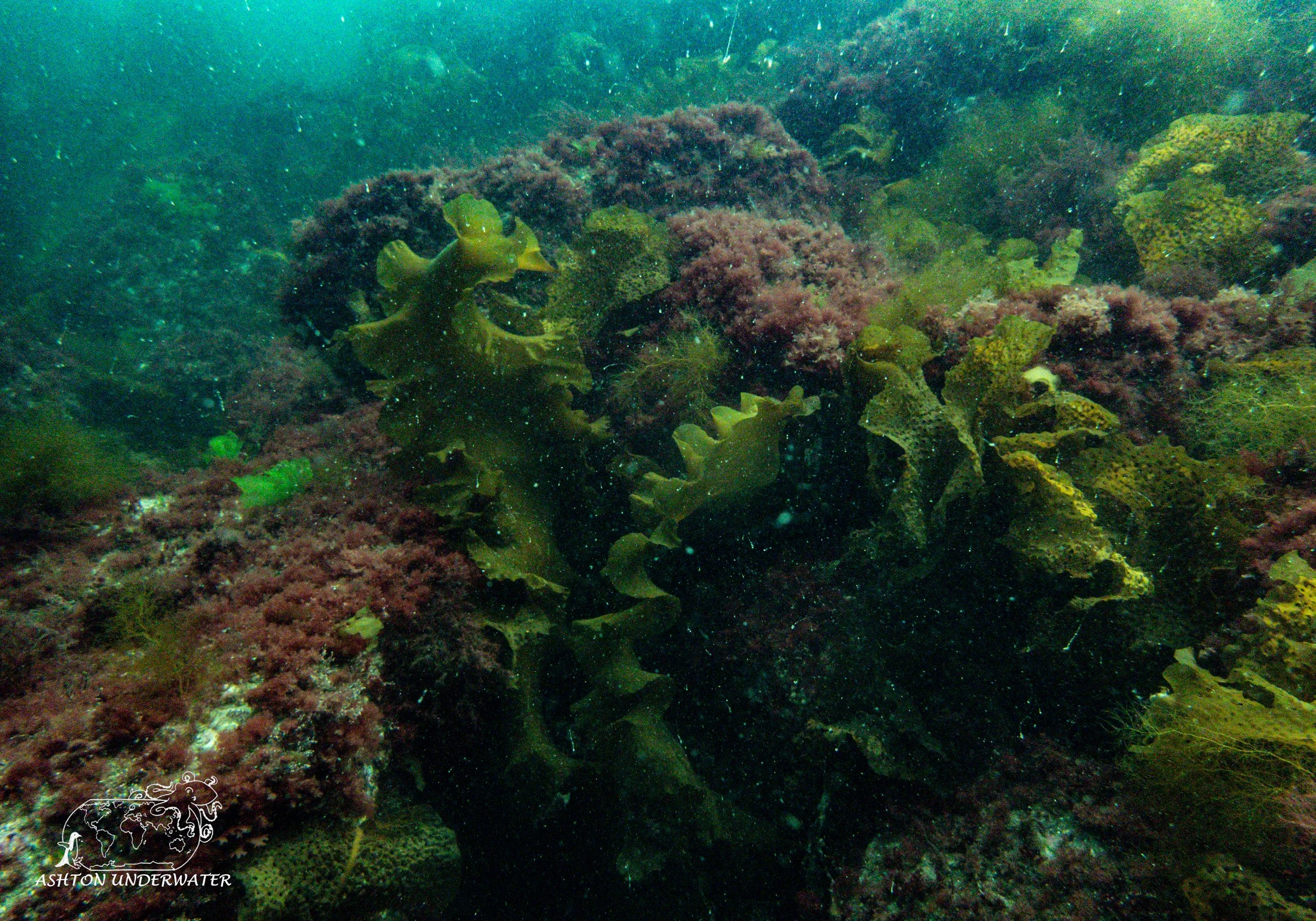
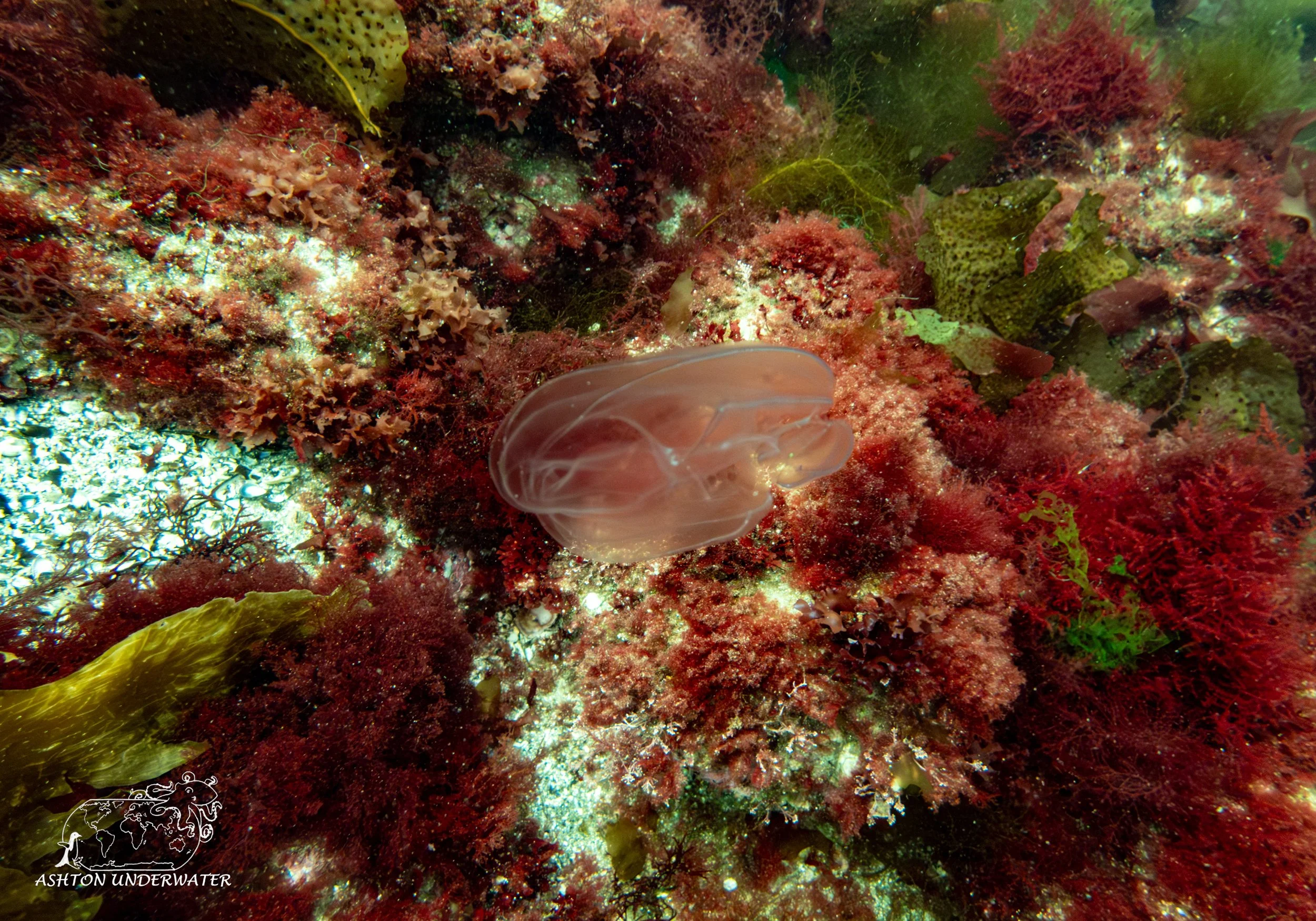
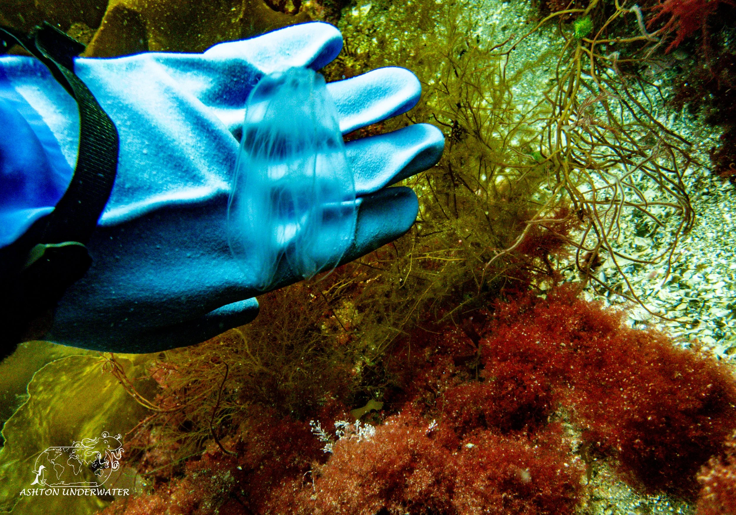
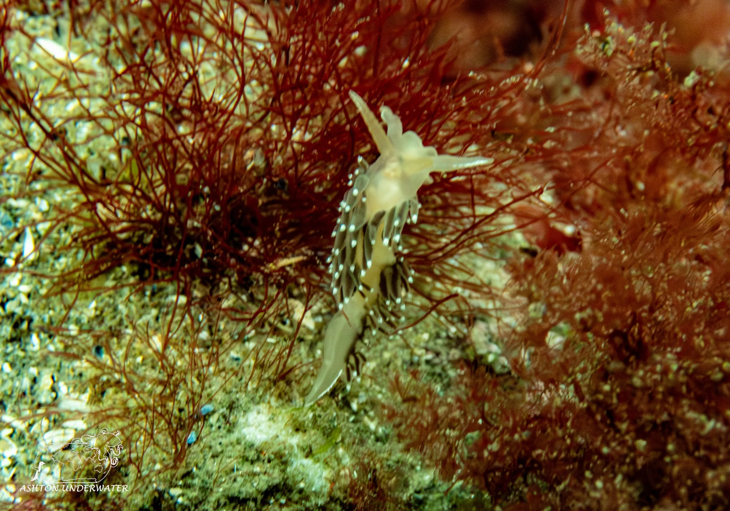
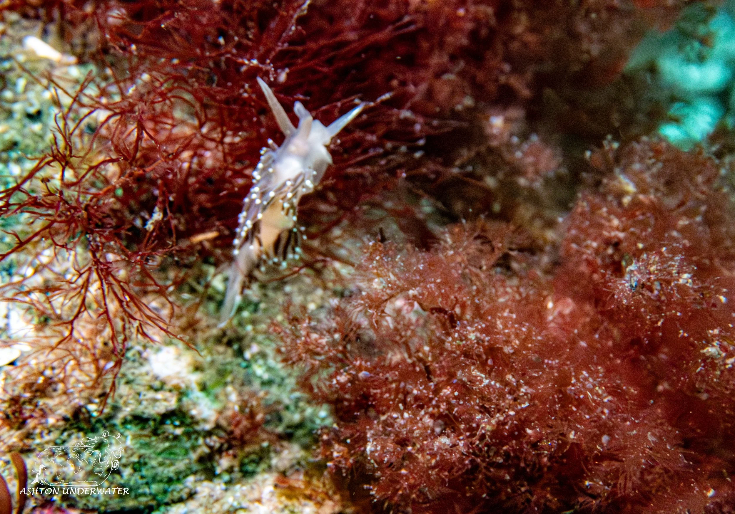
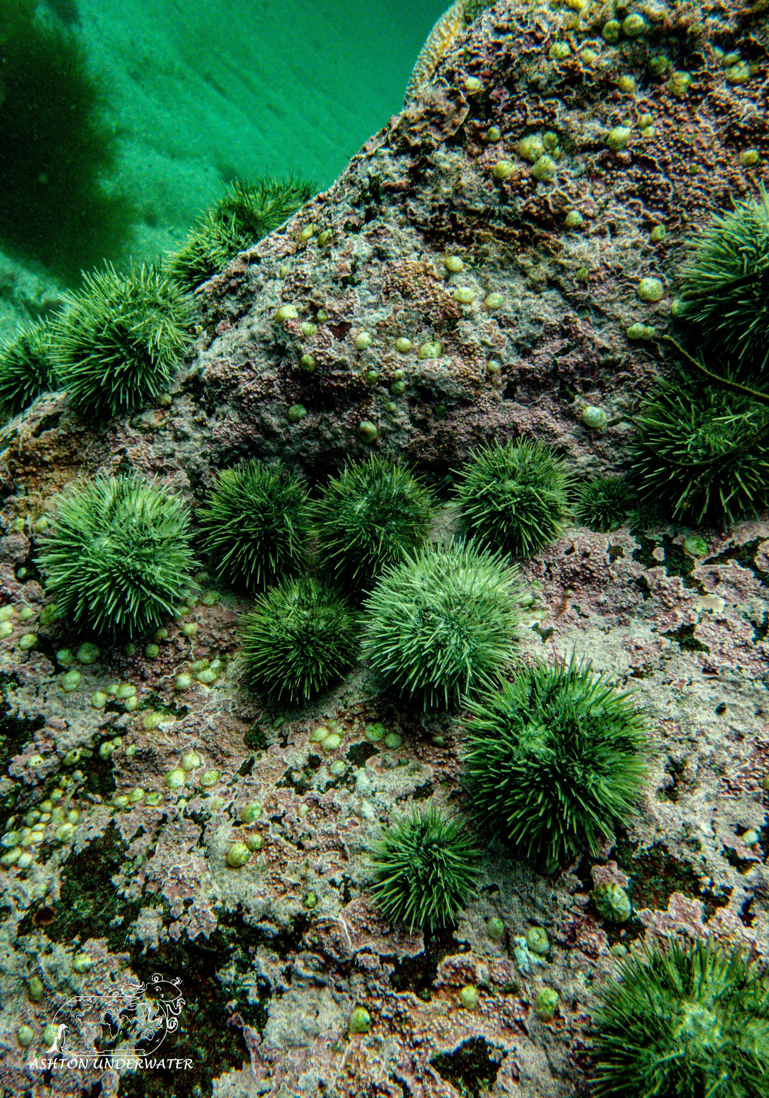
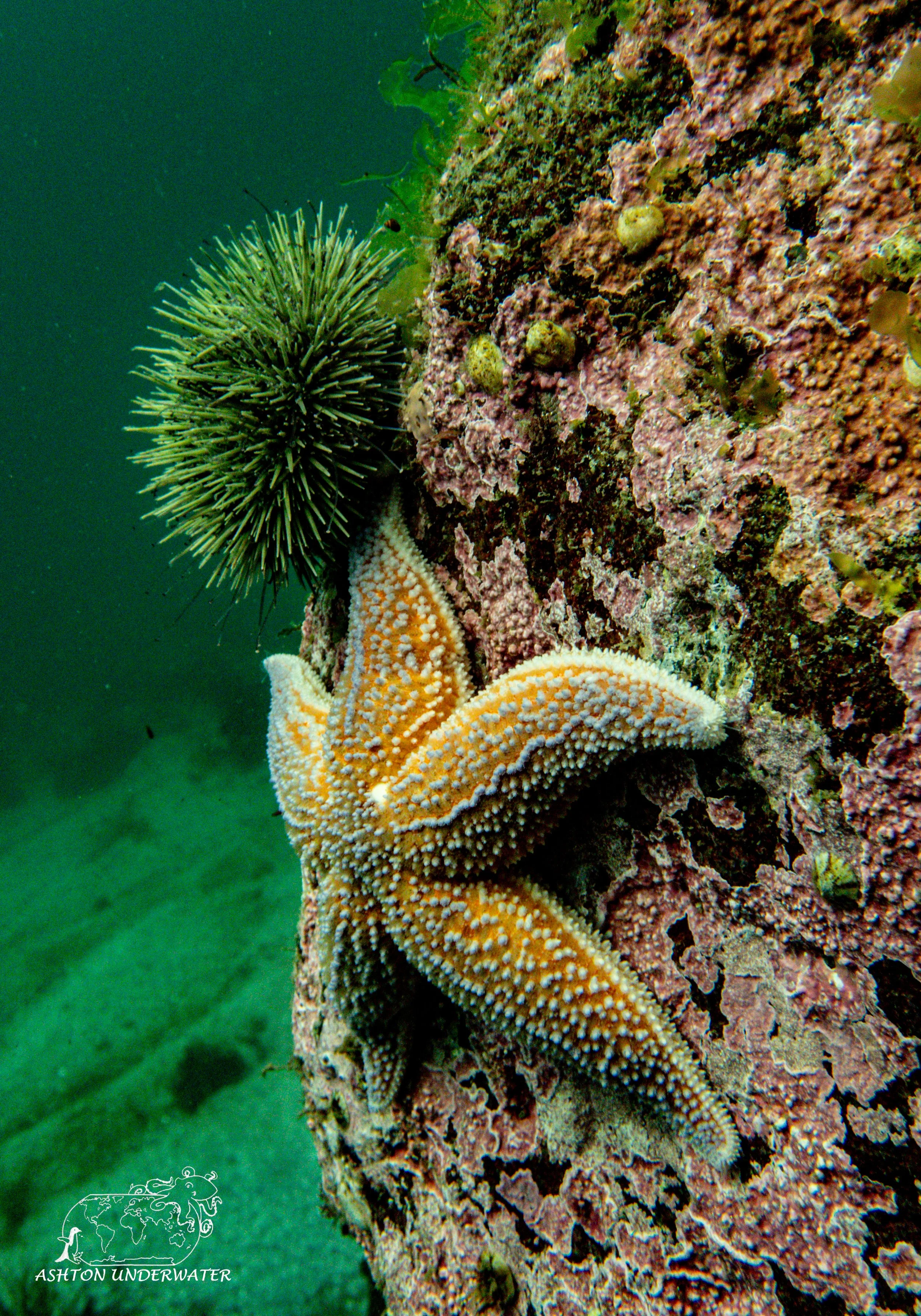
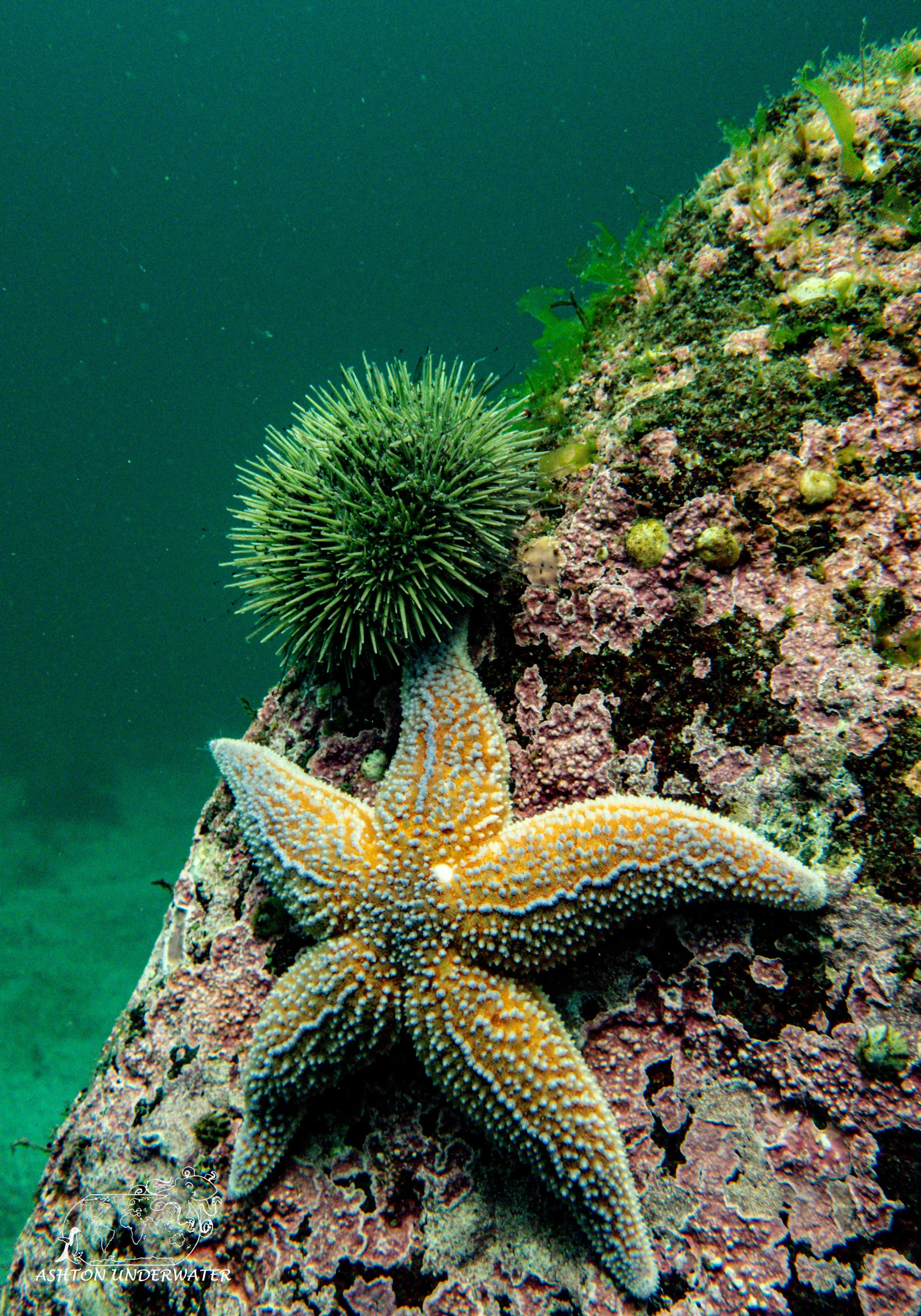
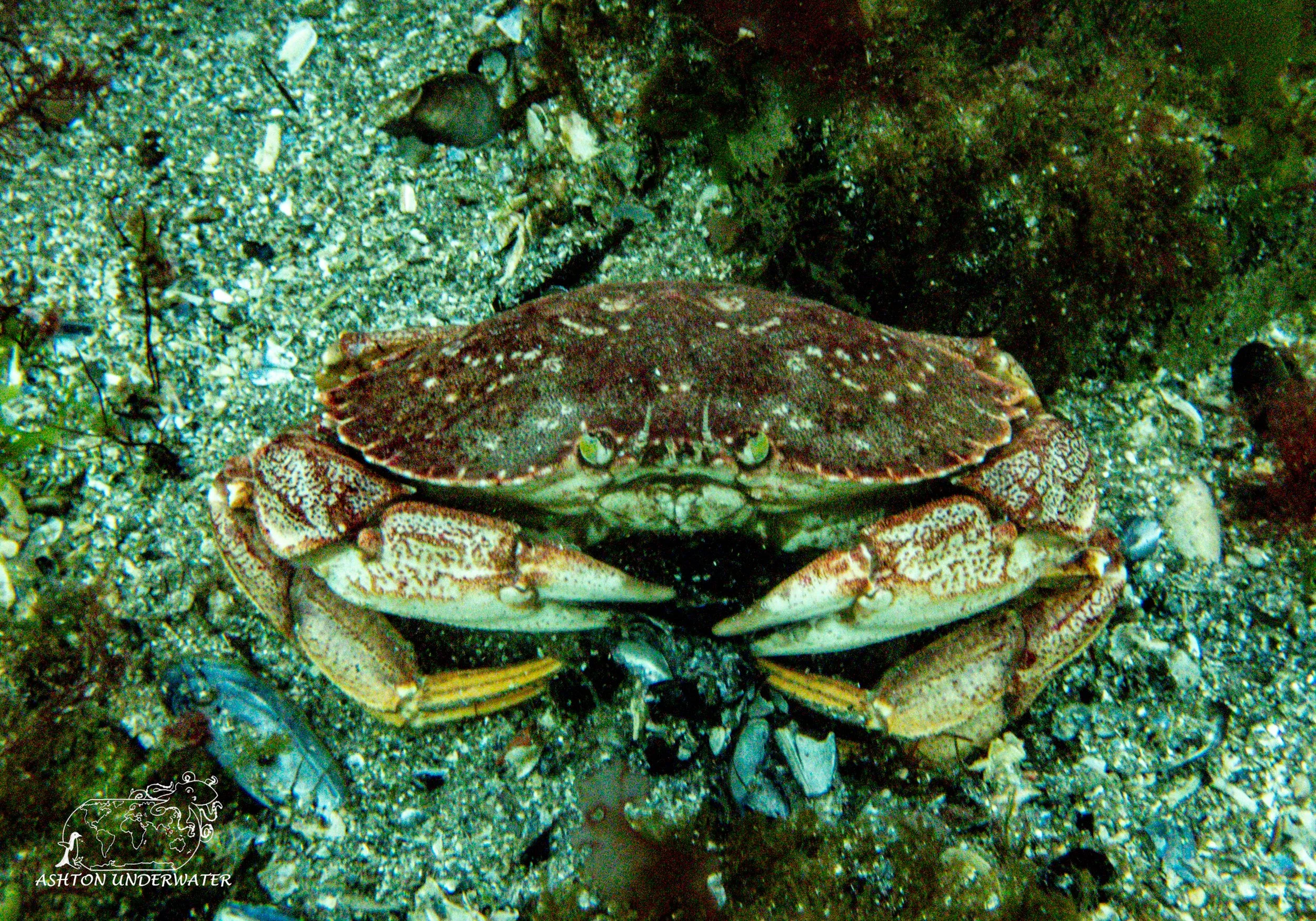
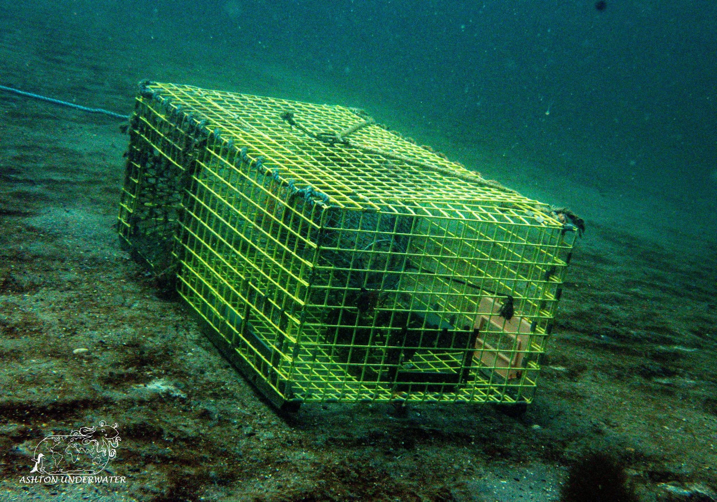
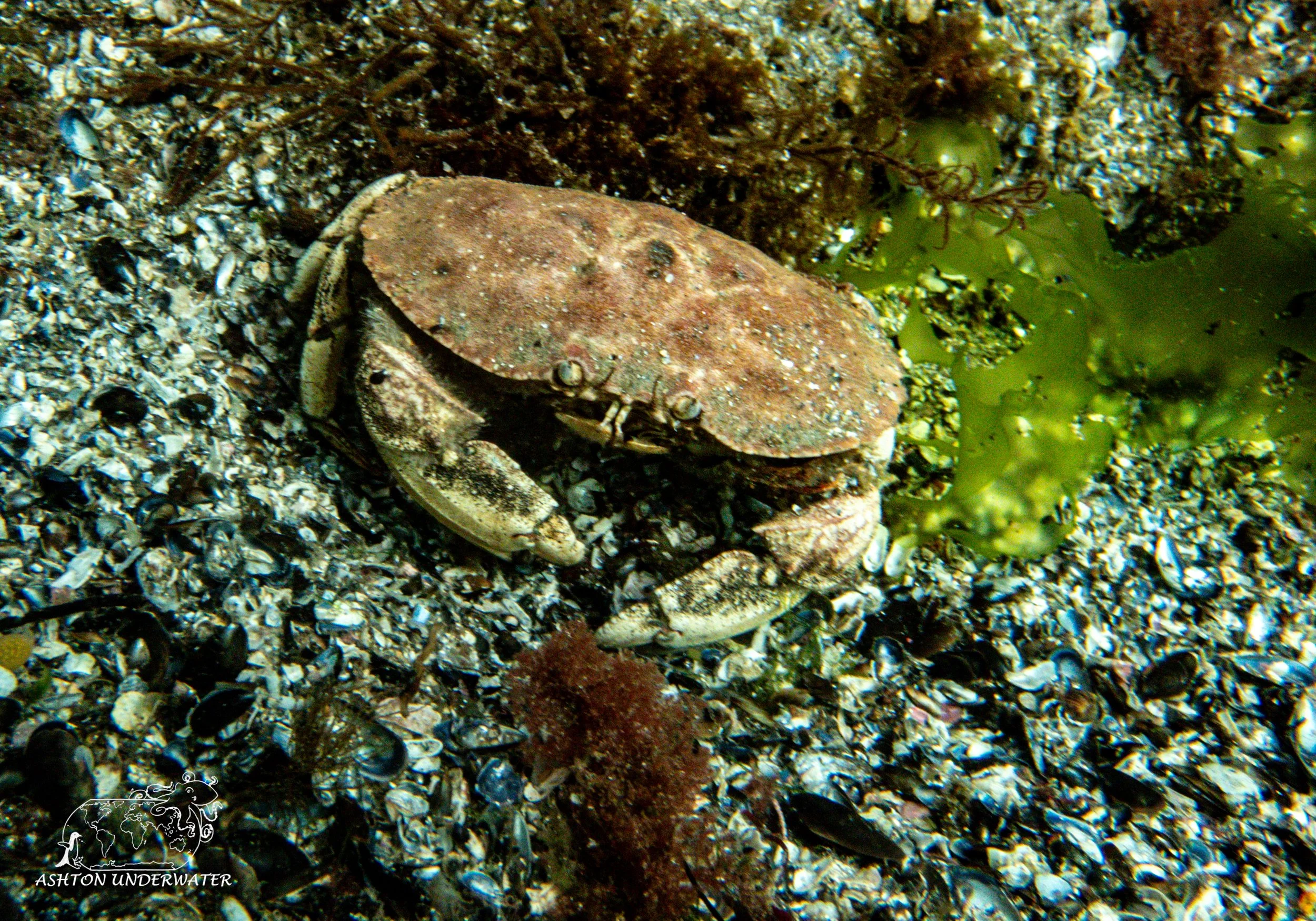
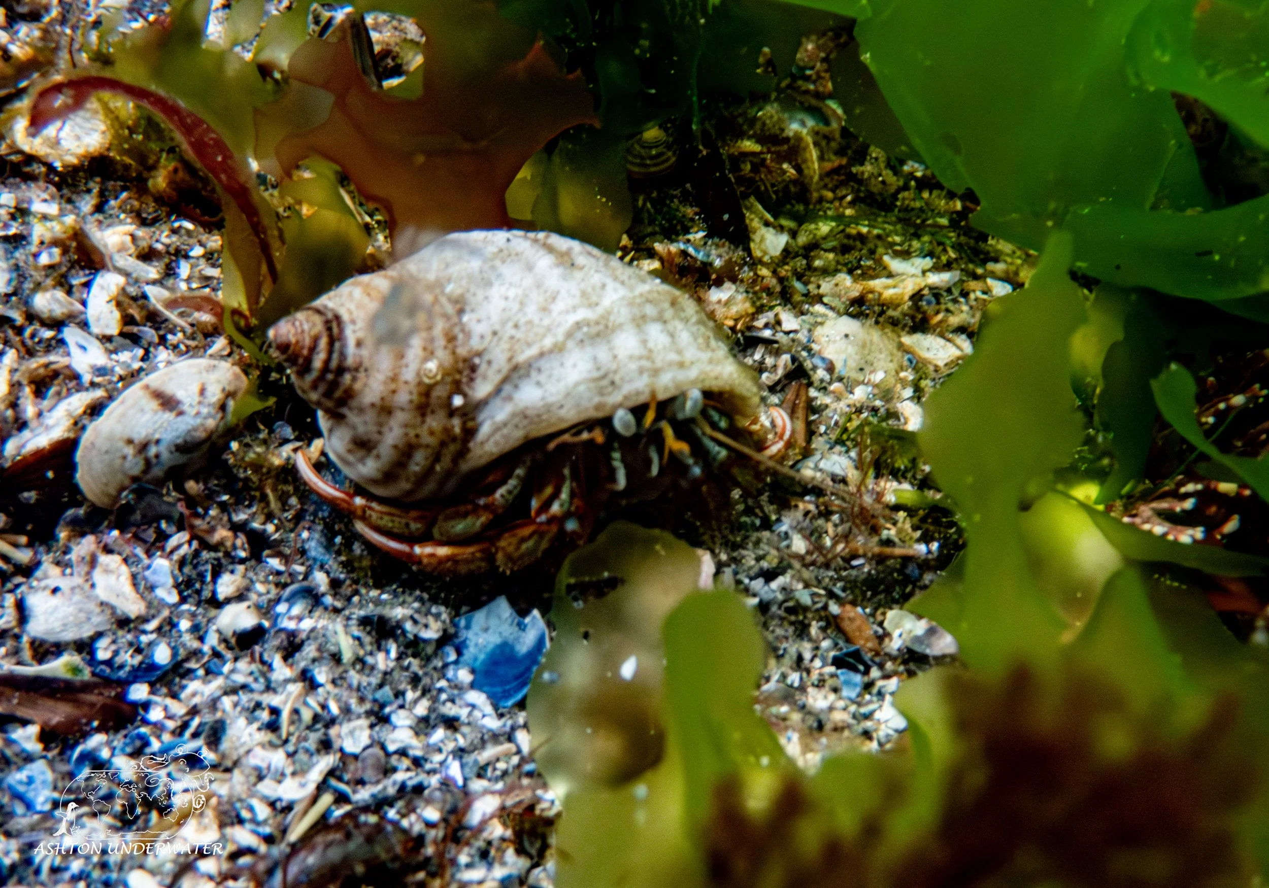
There were lots of crabs, lobsters, nudibranchs, starfish, and other aquatic life throughout the site. It is possible to stay above the thermocline where the water was warmer and still see plenty of things. Visibility was best out of the sites we’ve dove so far and had the most interesting things to see. Like all the other sites, a dive flag is required while diving the site. On the surface there is a small restaurant and a gift shop for all your shopping needs. We packed up our gear and started our drive even further west to visit the Eastern most part of the United States and another light house.
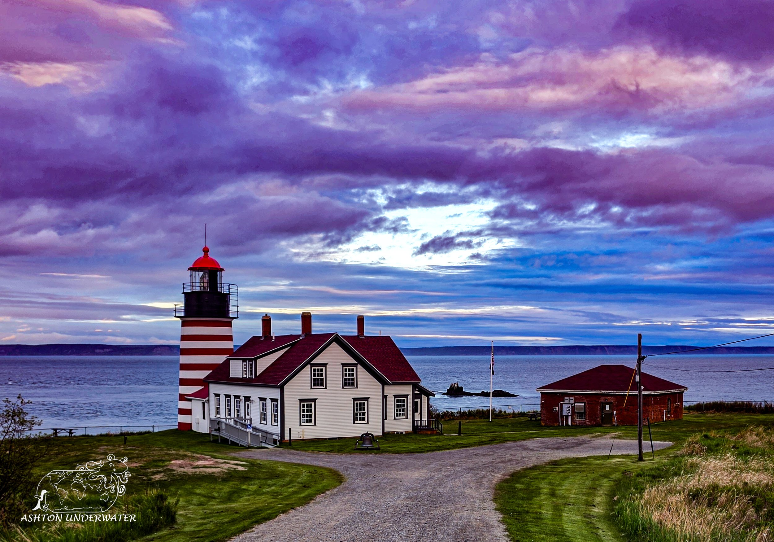
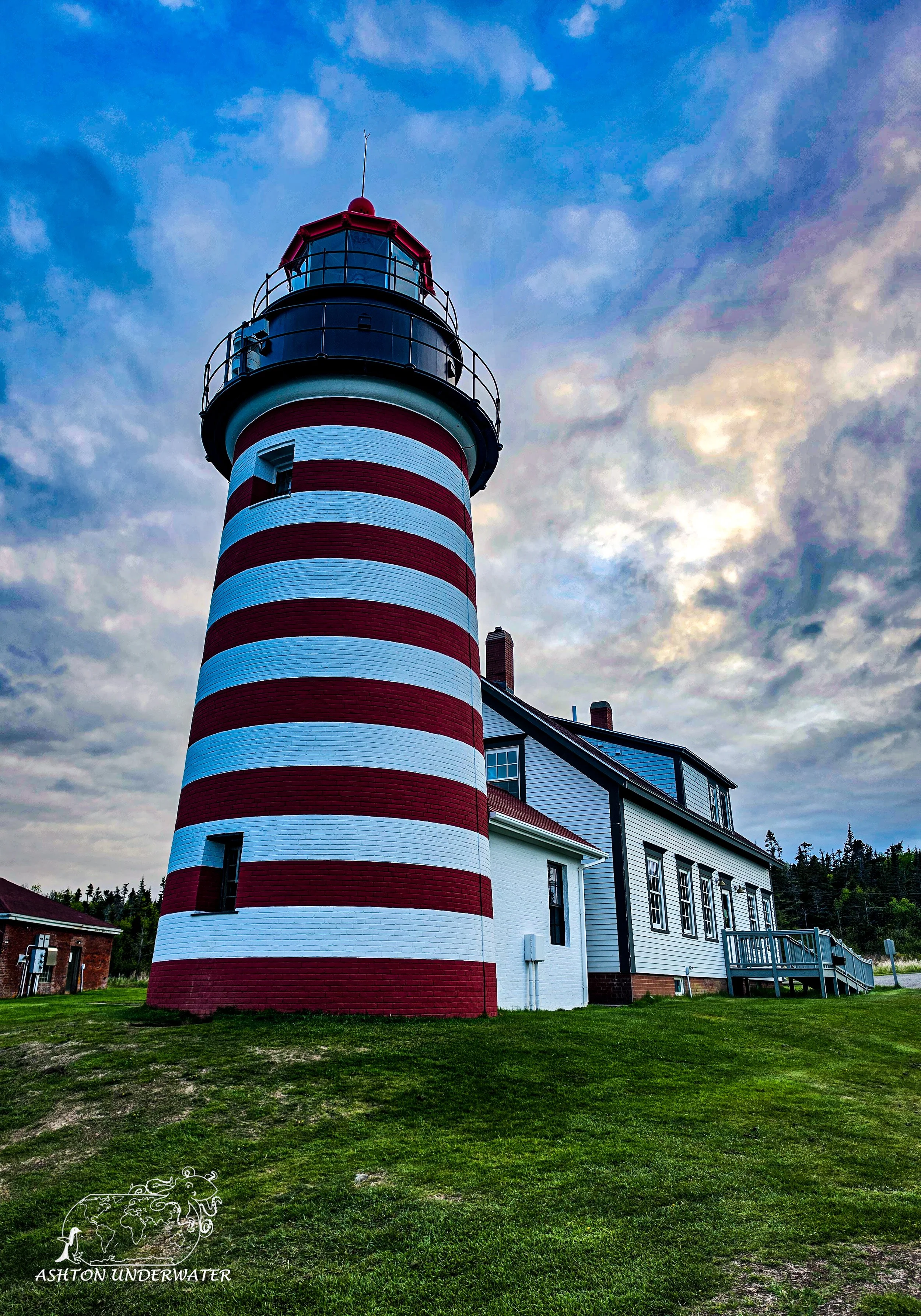
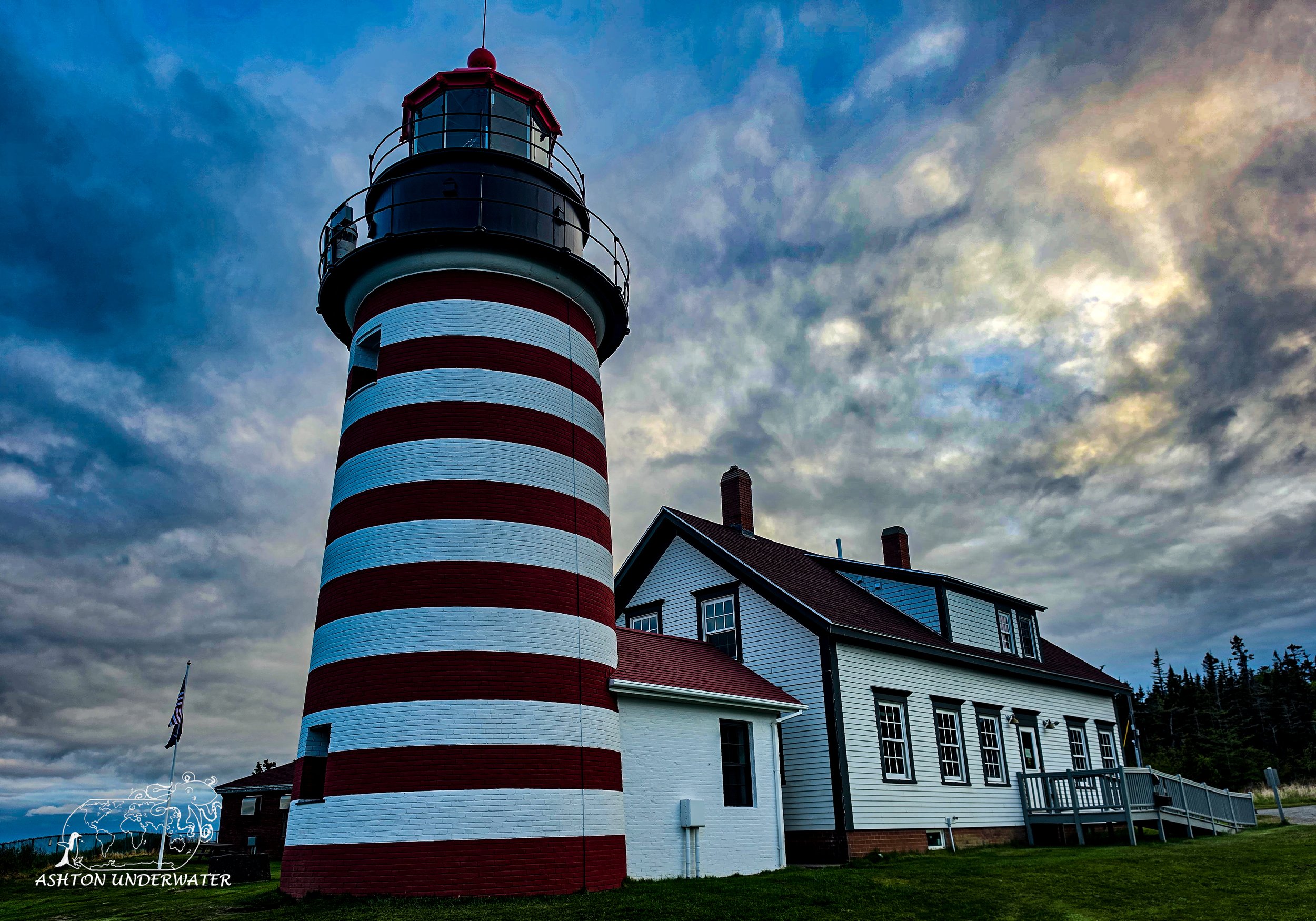
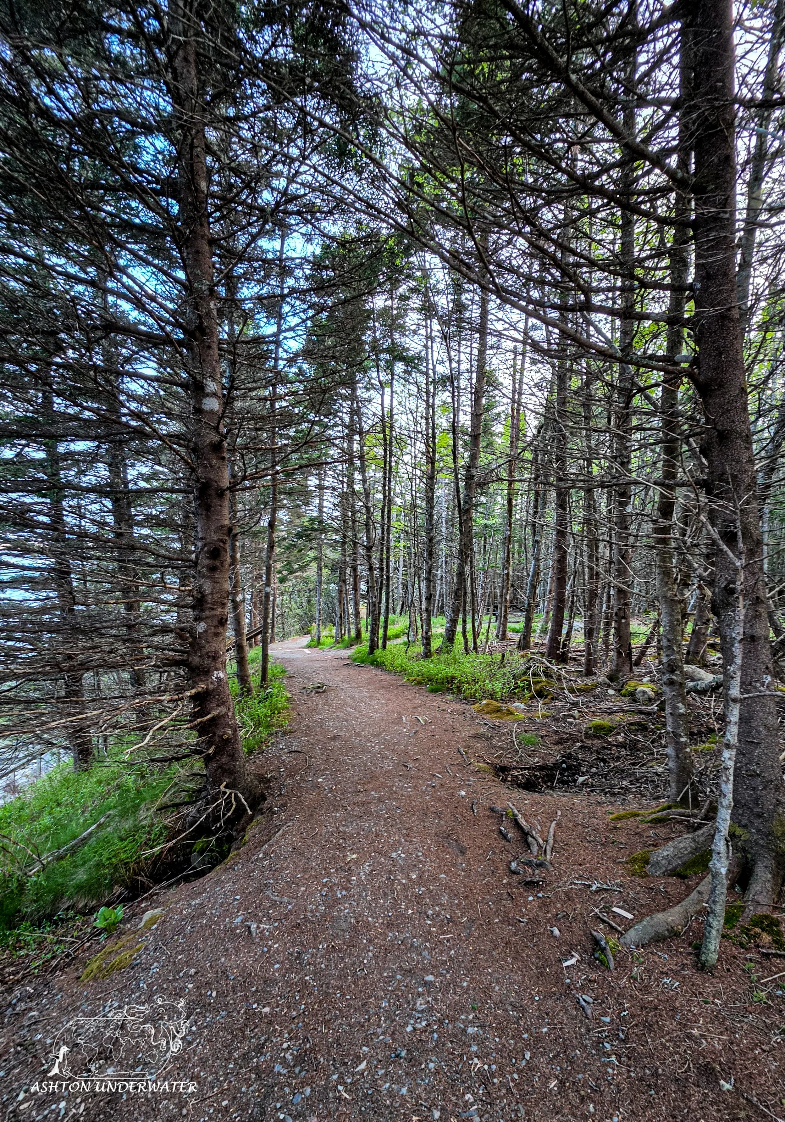
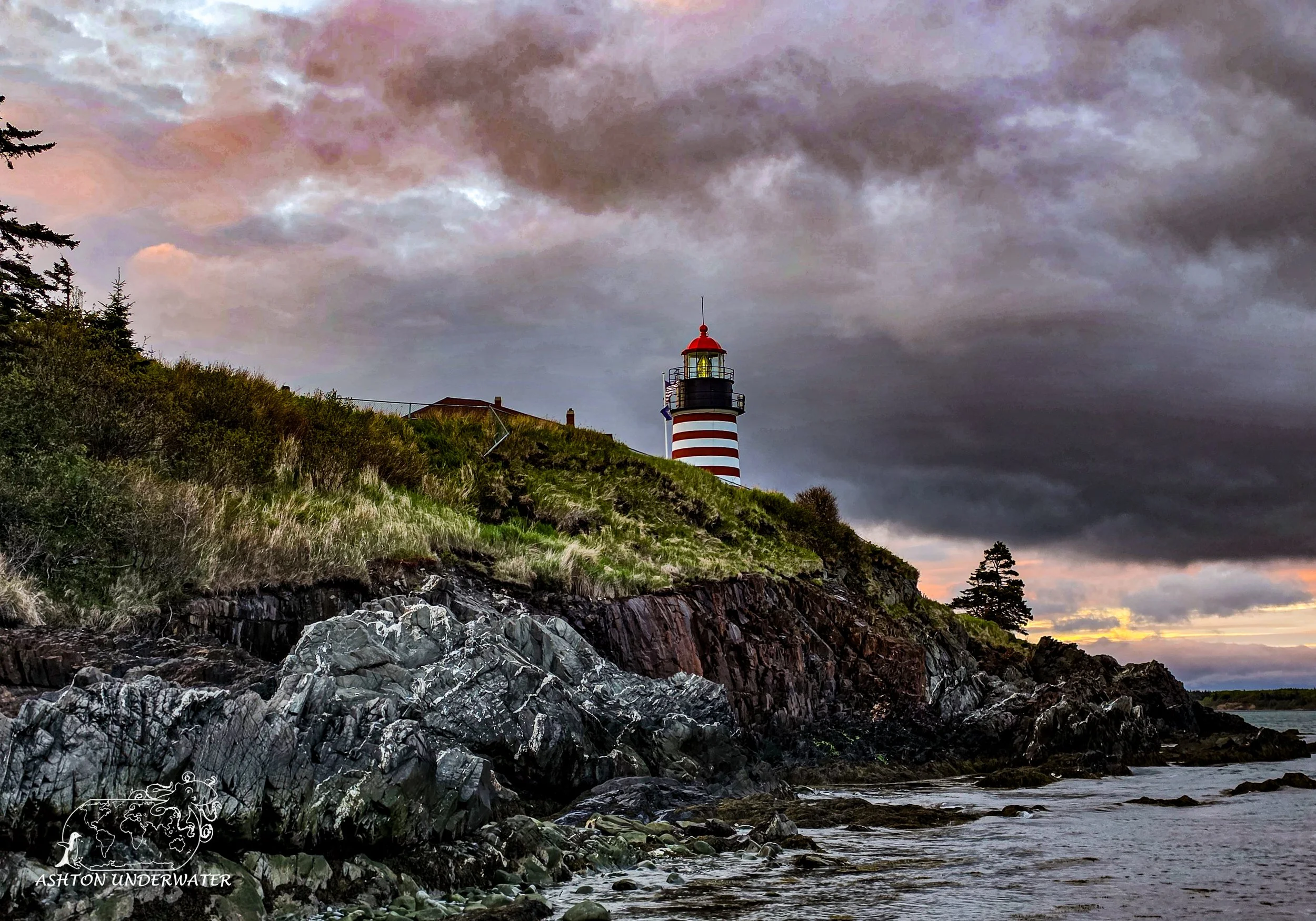
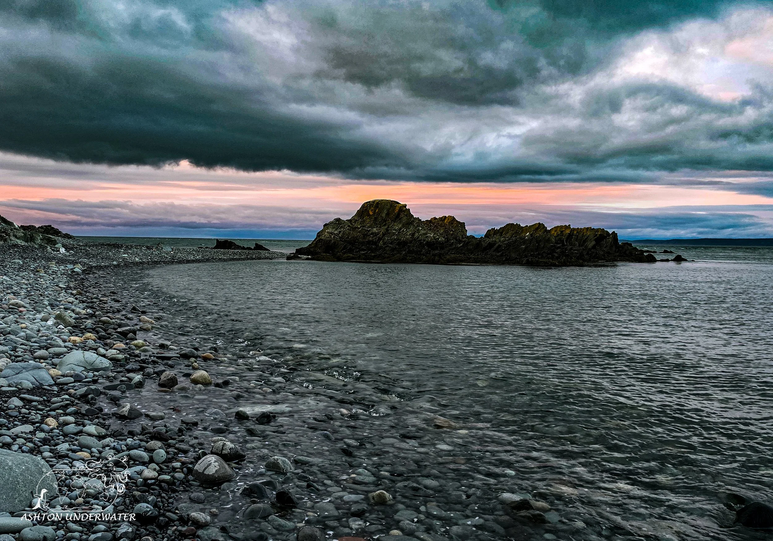
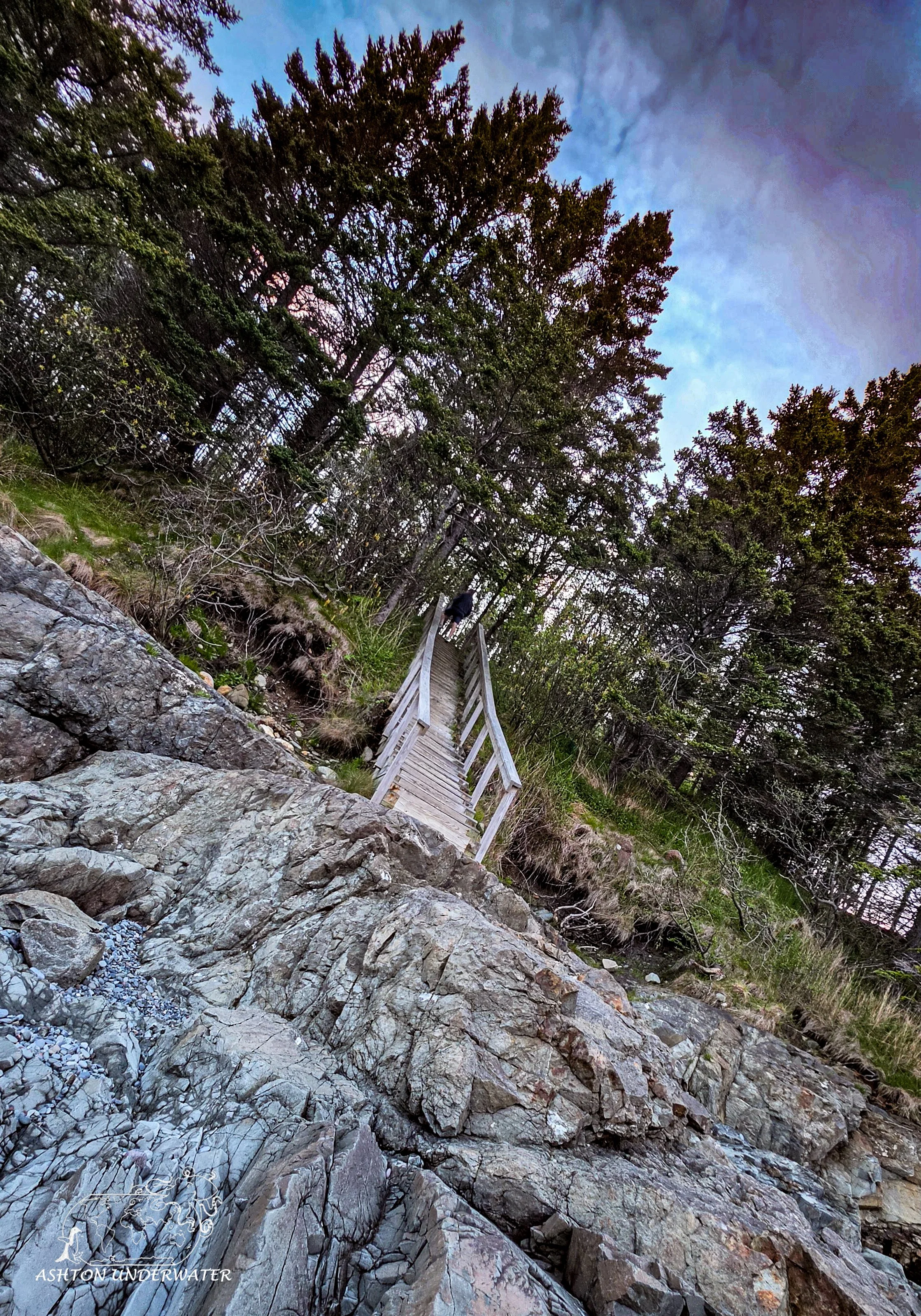
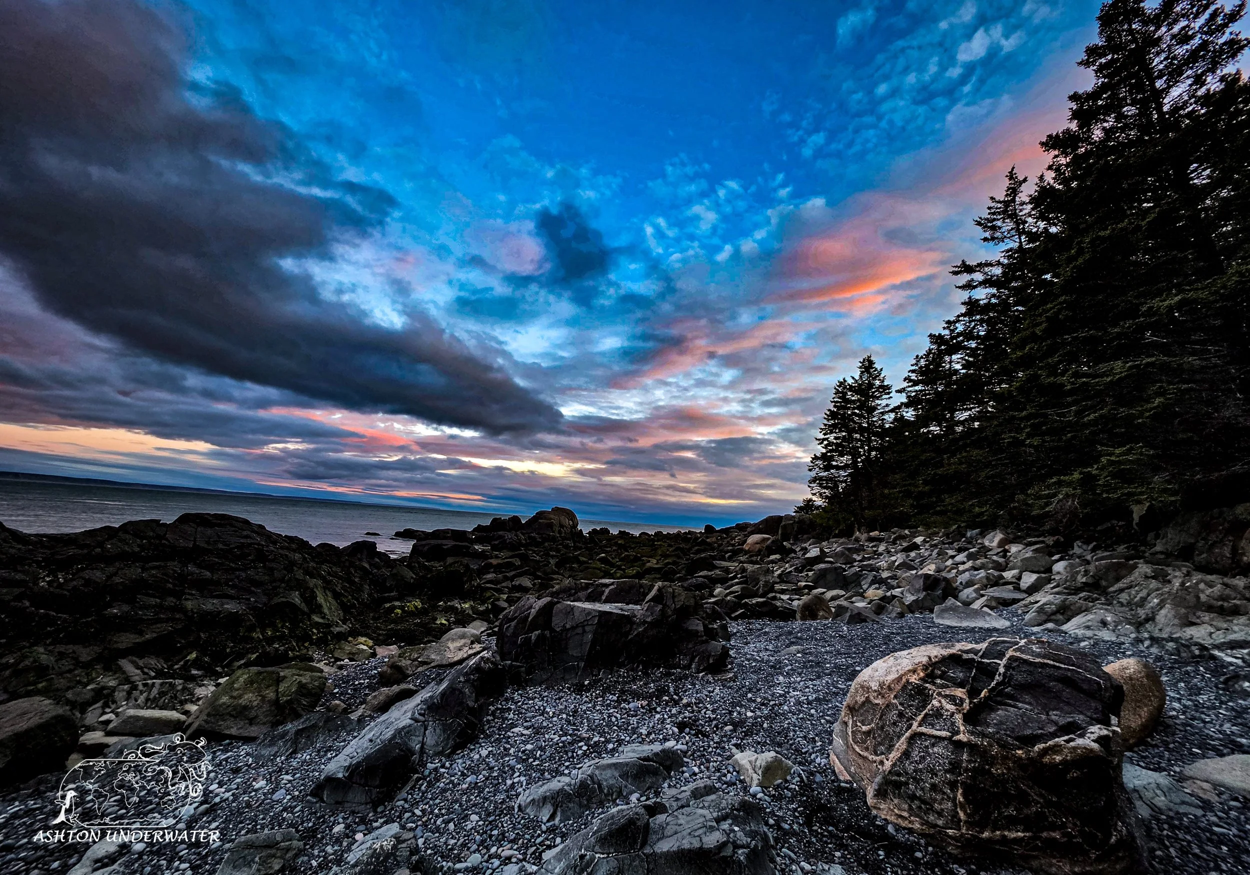
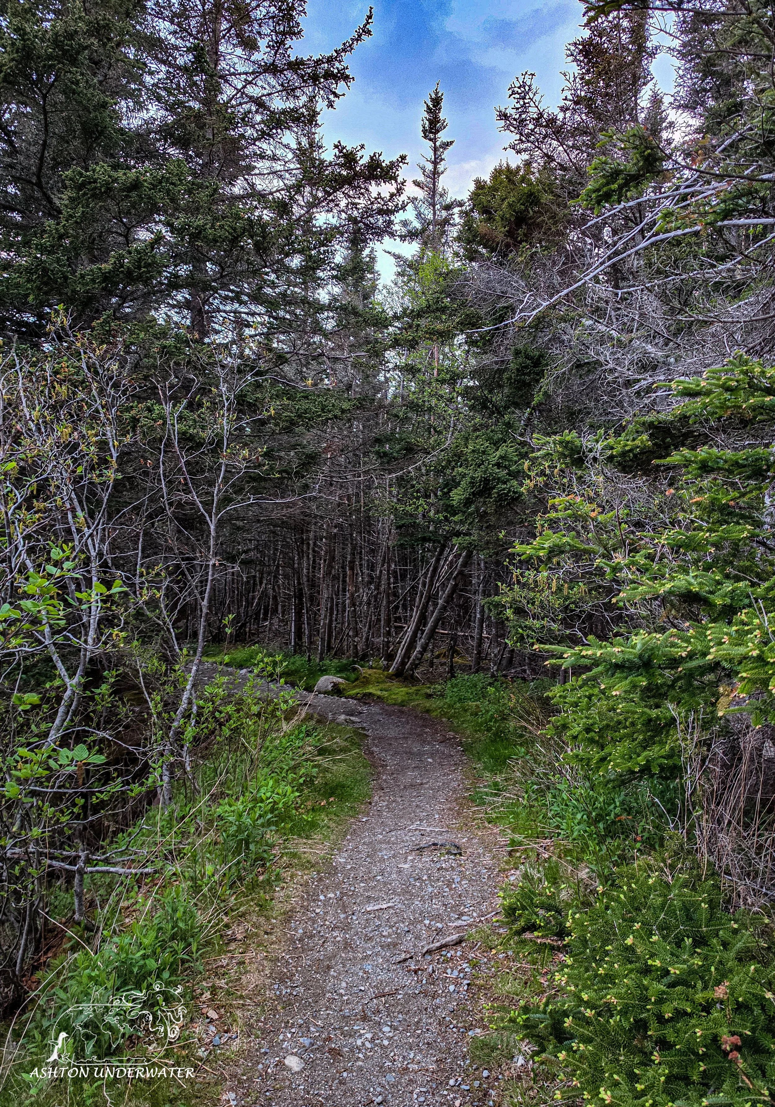
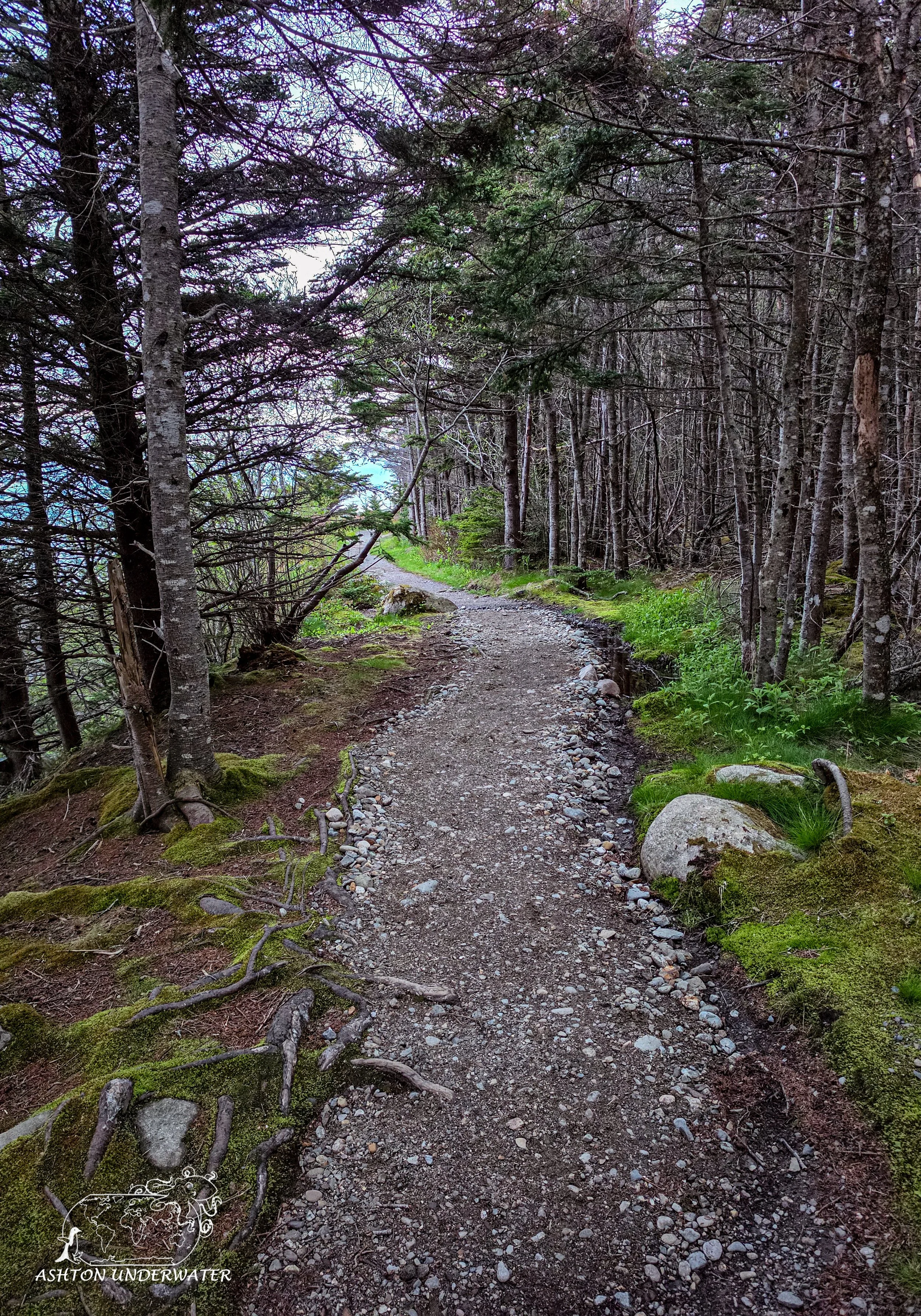
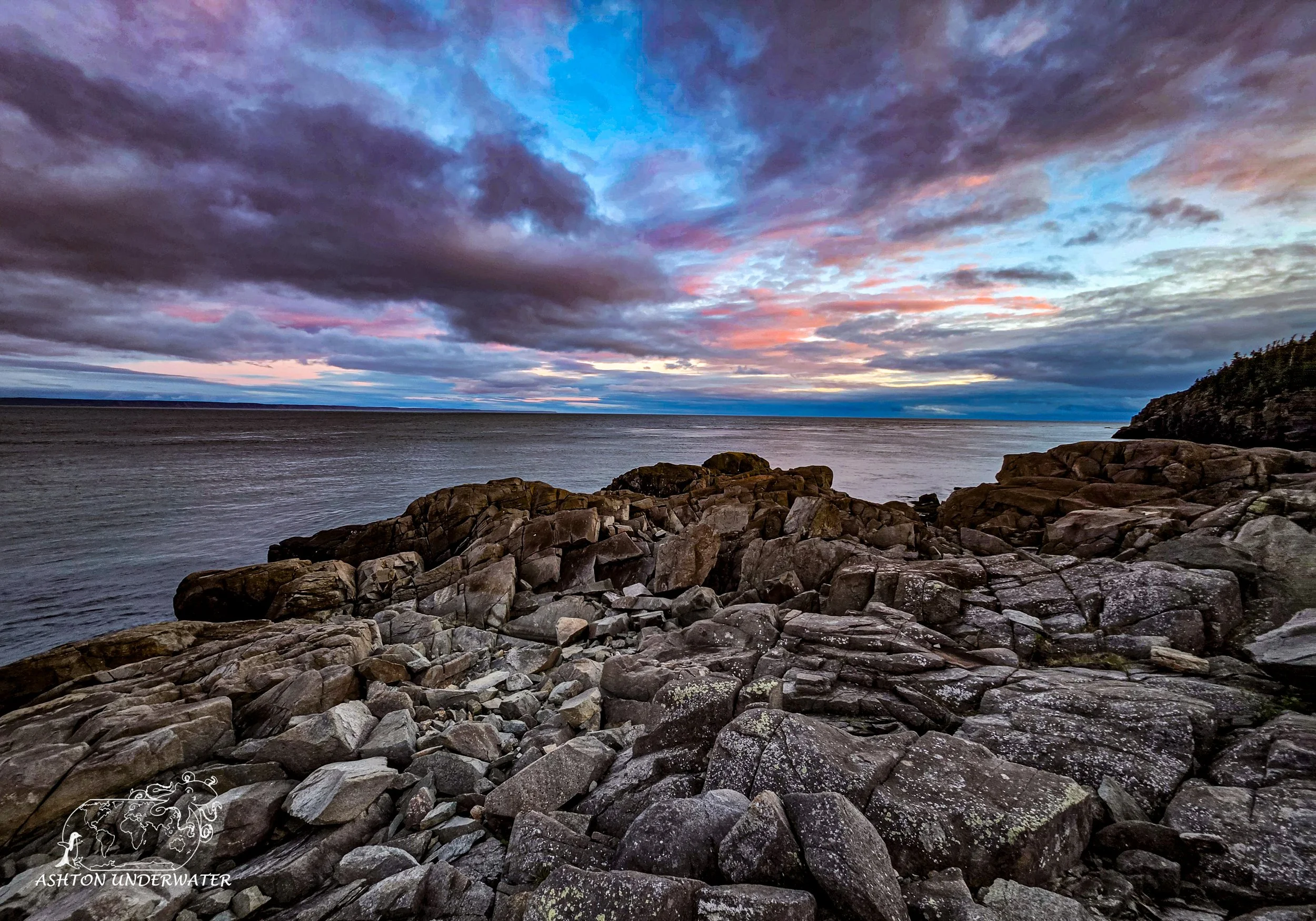
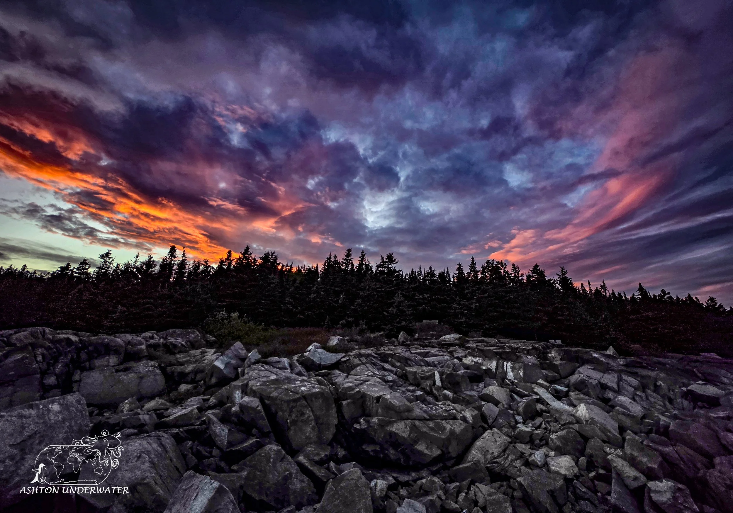
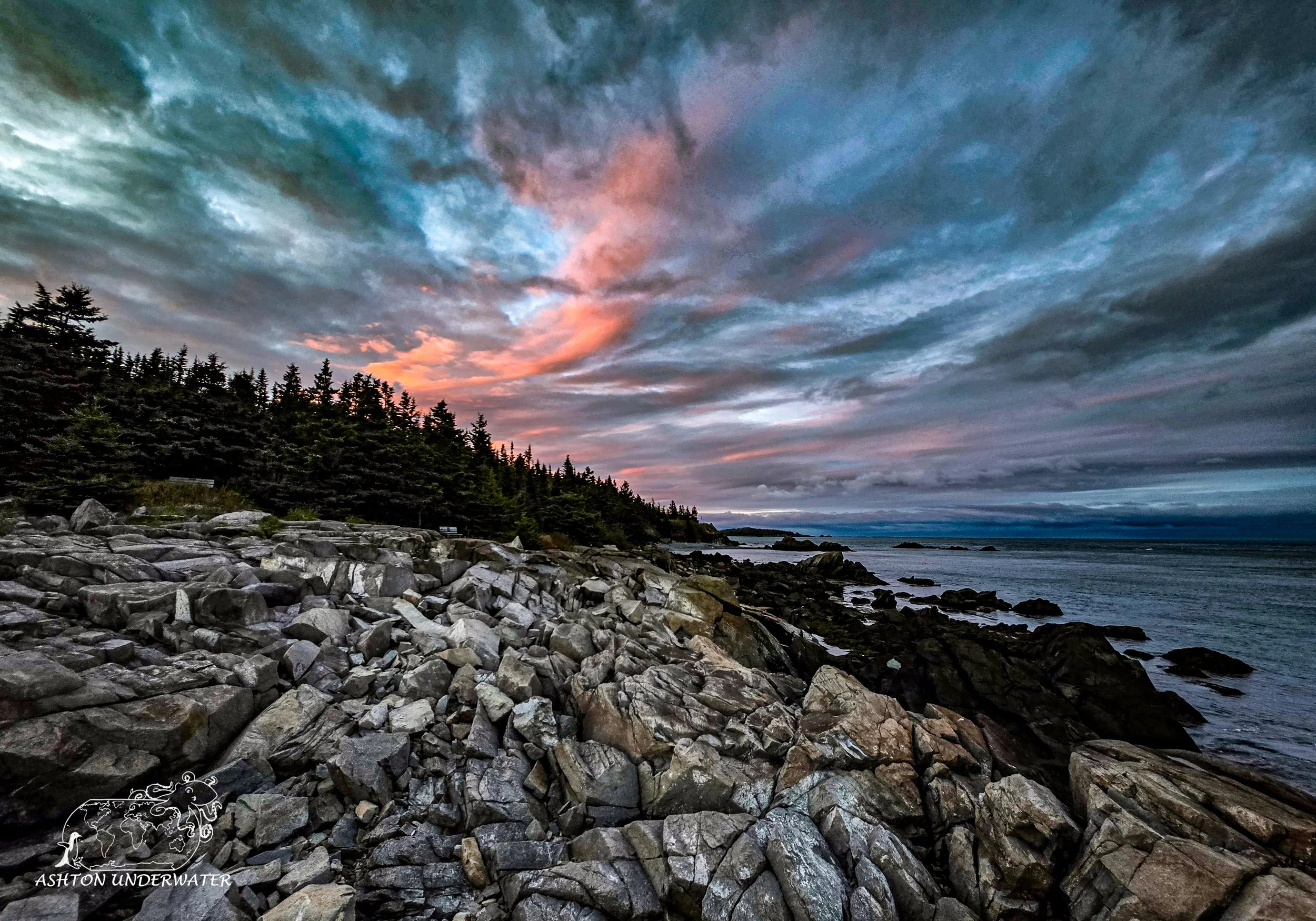
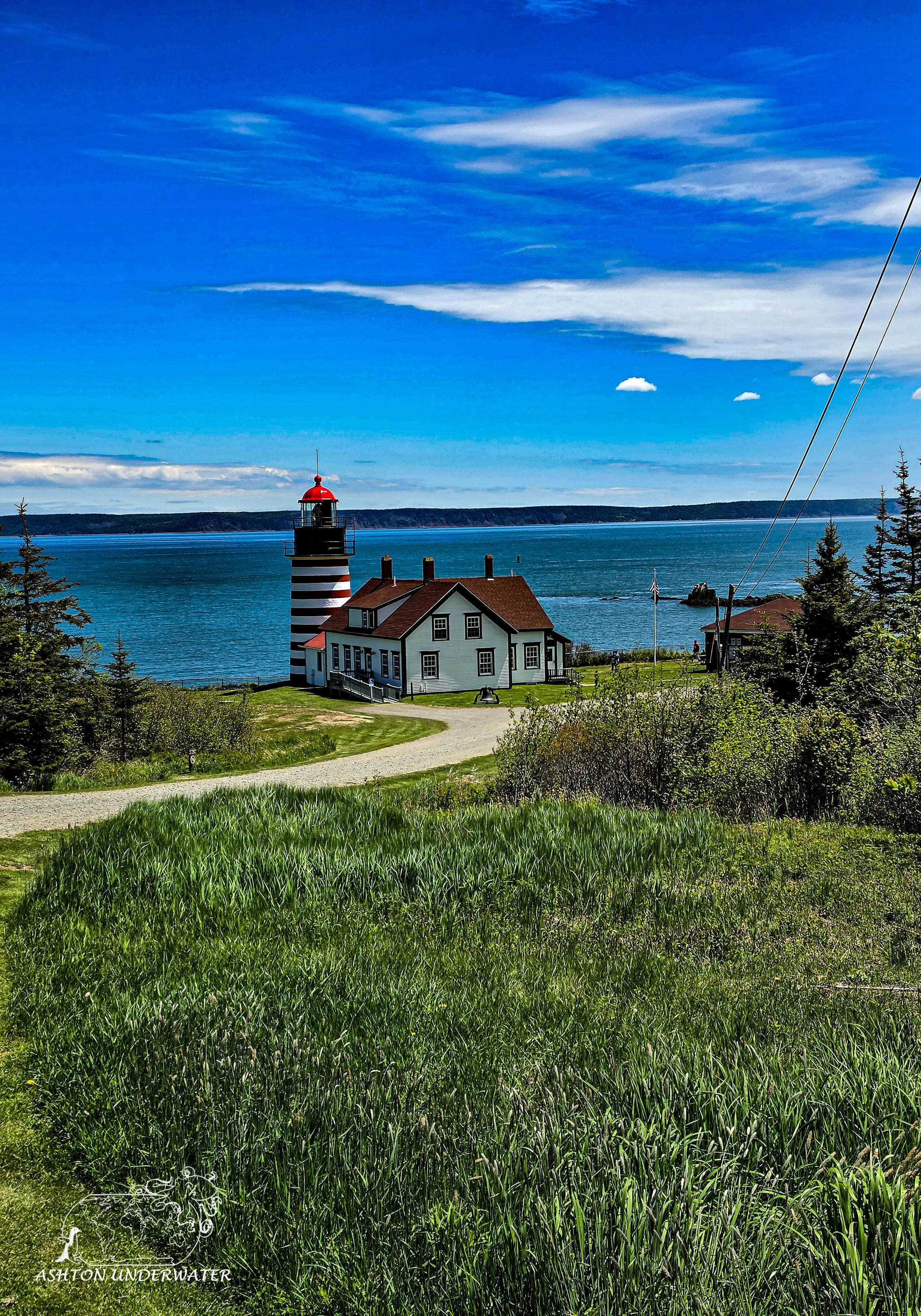
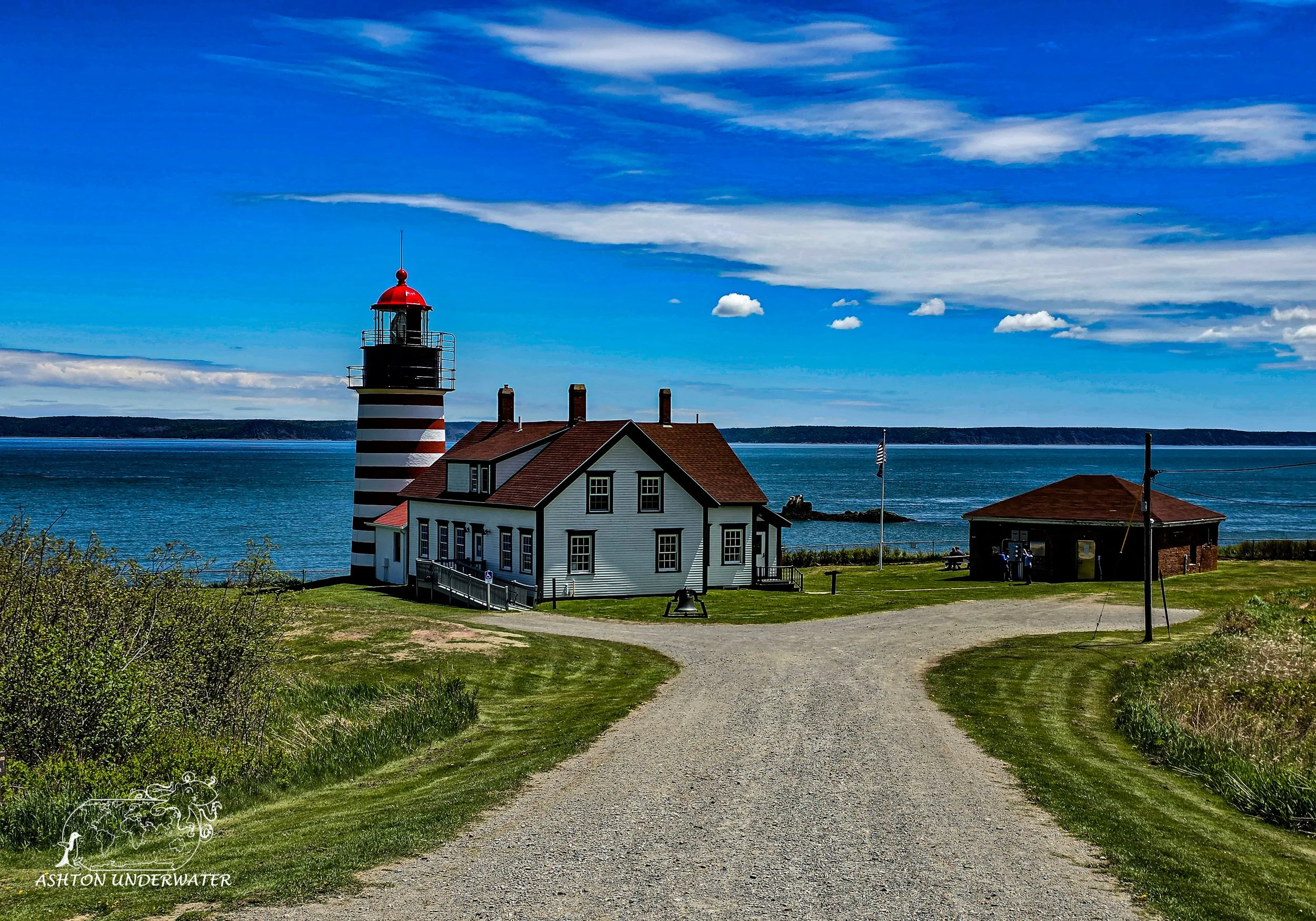
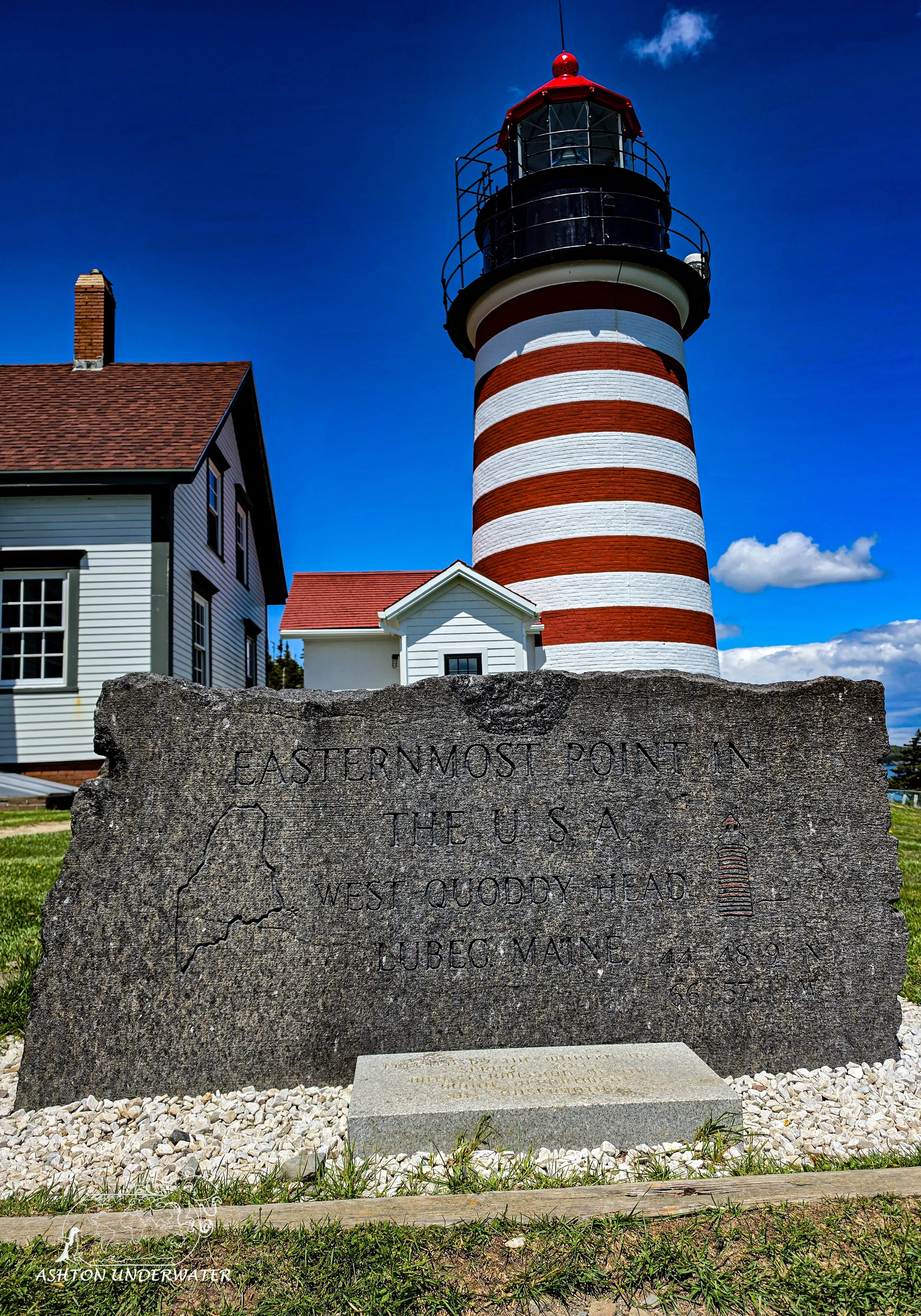
The West Quoddy Head Lighthouse located in Lubec, Maine and is the Easternmost part of the contiguous United States. A lighthouse was originally built on the point in 1808 but was replaced by the current lighthouse in 1858. It along with the Nubble Lighthouse are two of the eight lighthouses in Maine that still use Fresnel lenses. The lighthouse is no longer manually operated, and the house is now a museum and visitor center. Surrounding the lighthouse is the Quoddy State Park that has plenty of hiking trails, with multiple outcroppings to view Nova Scotia, New Brunswick and the coast of Maine.
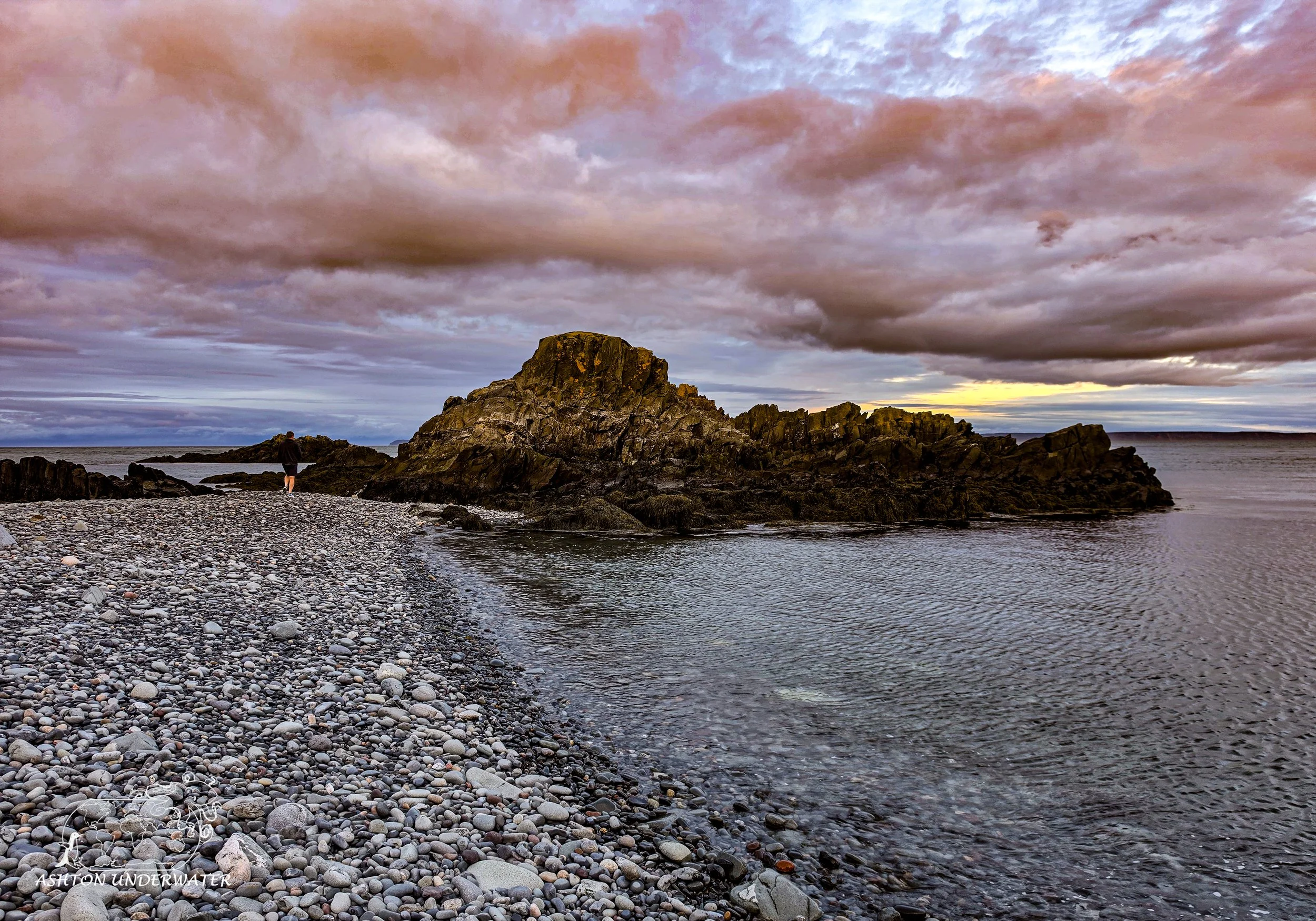
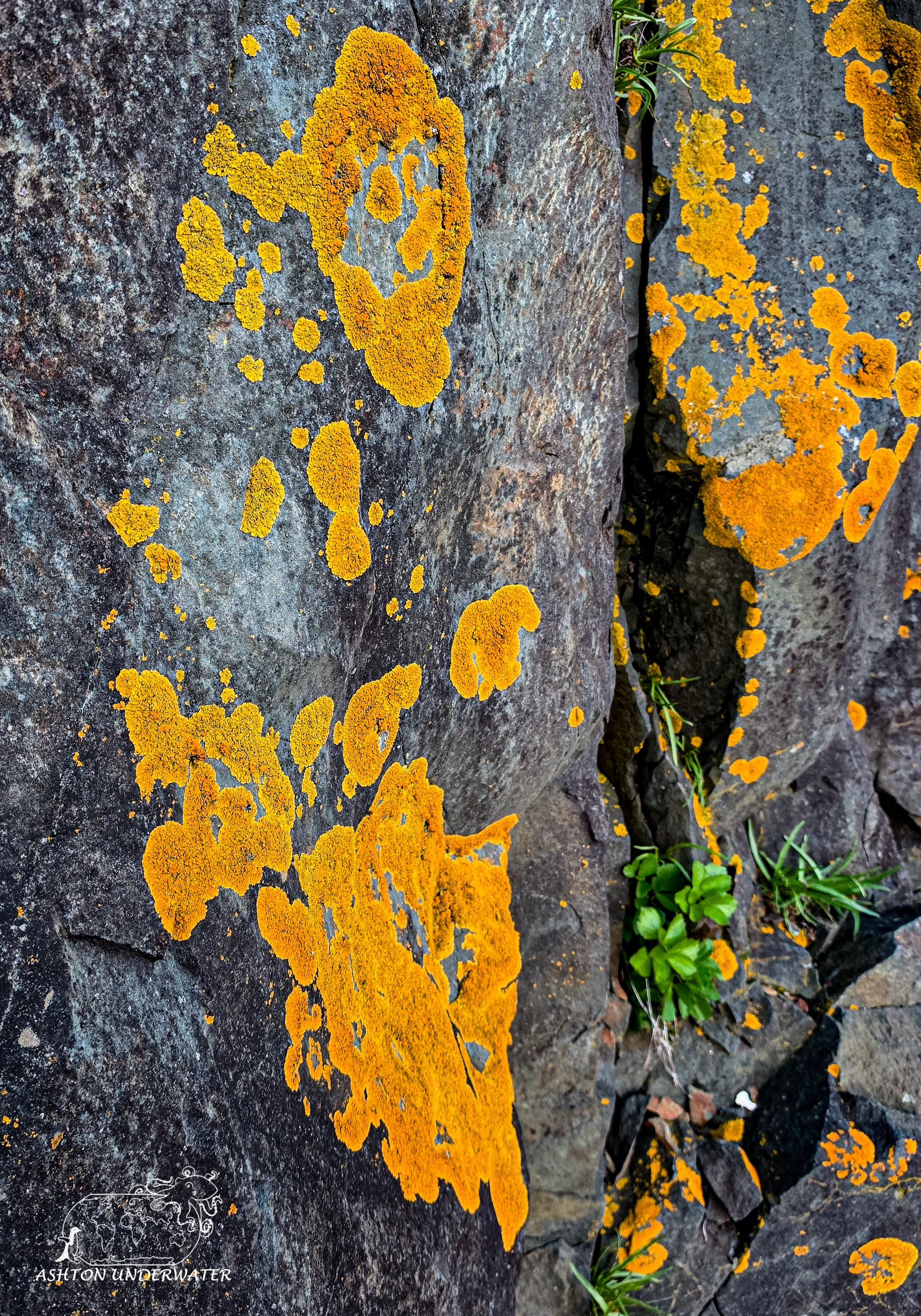
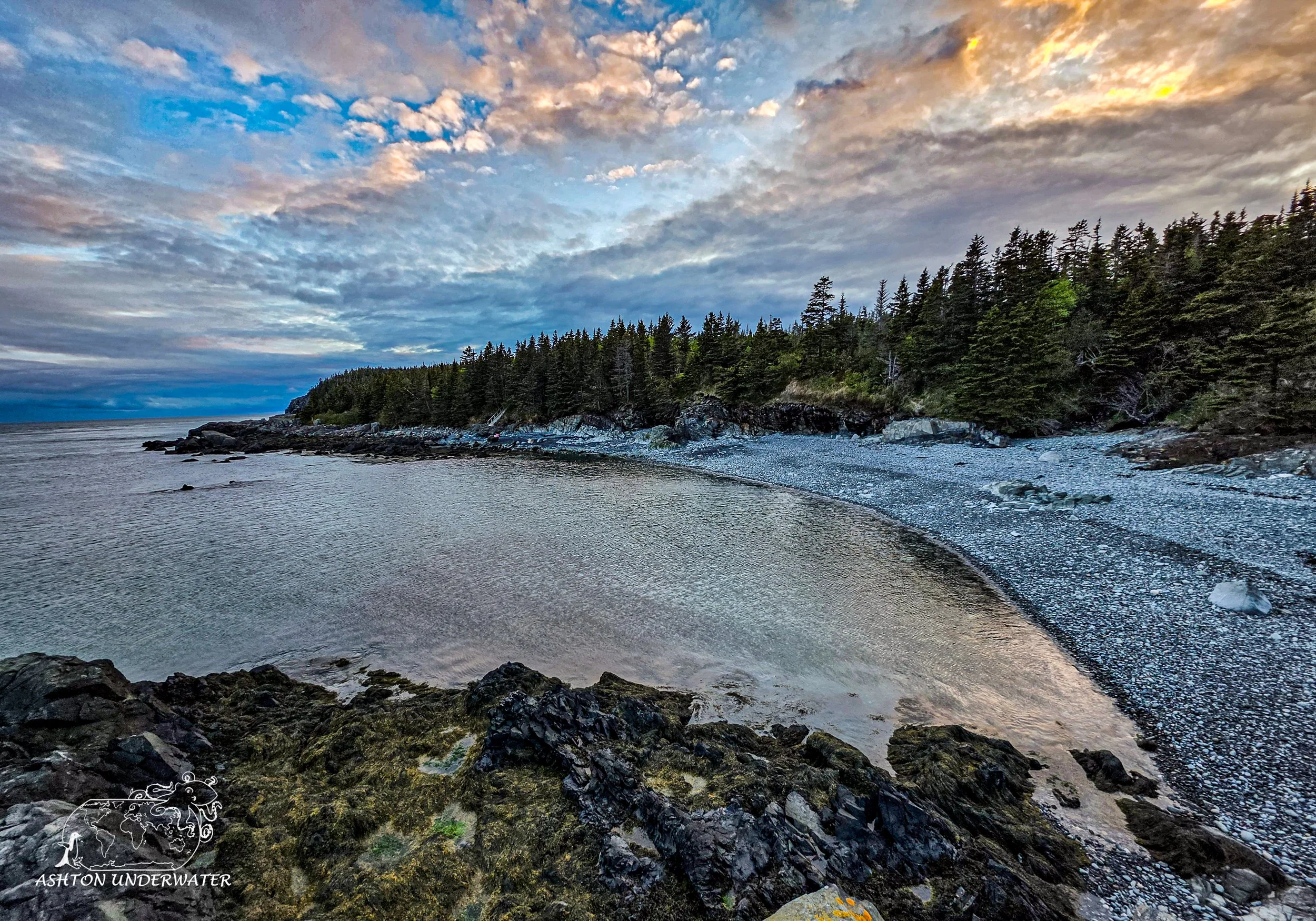
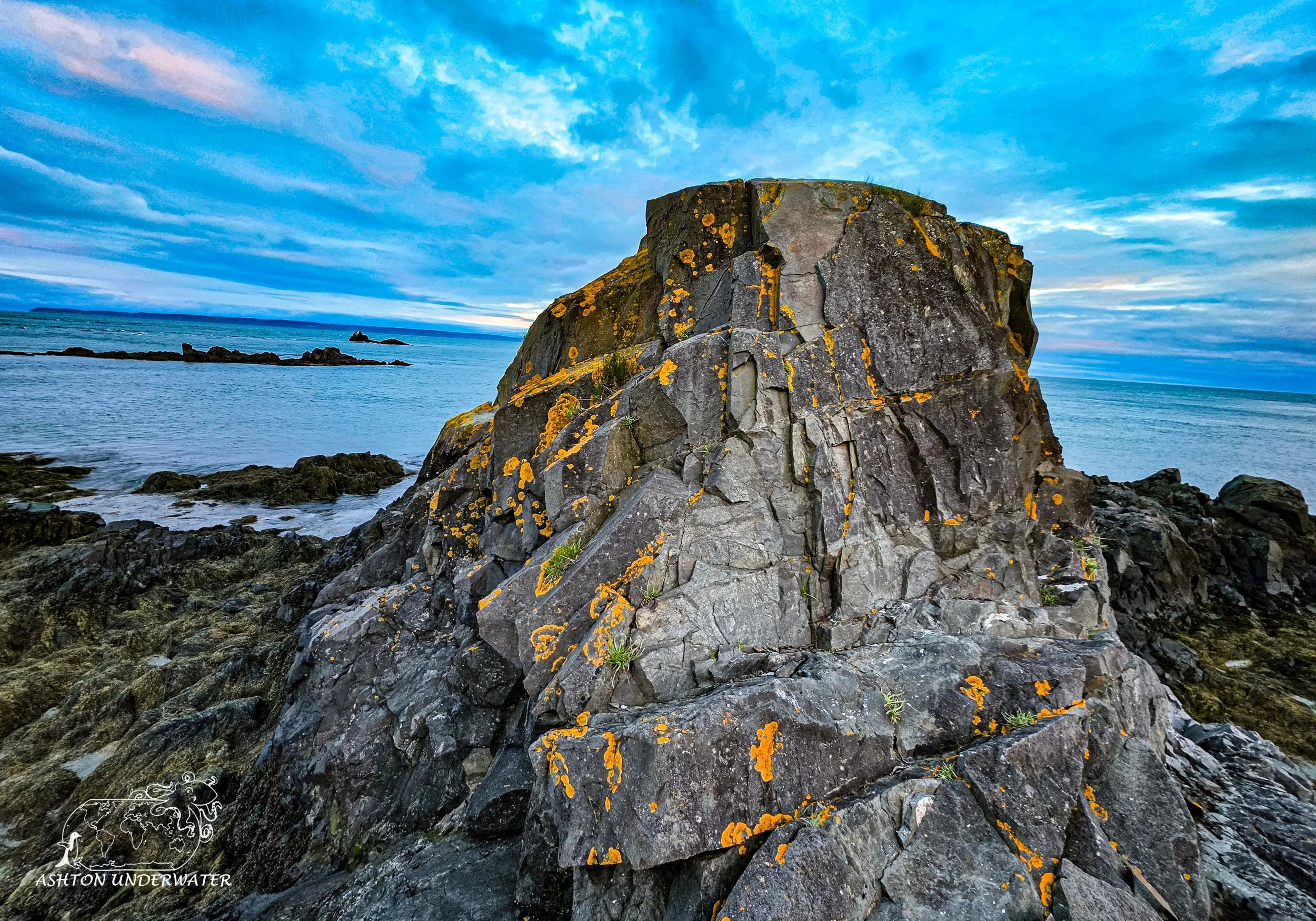
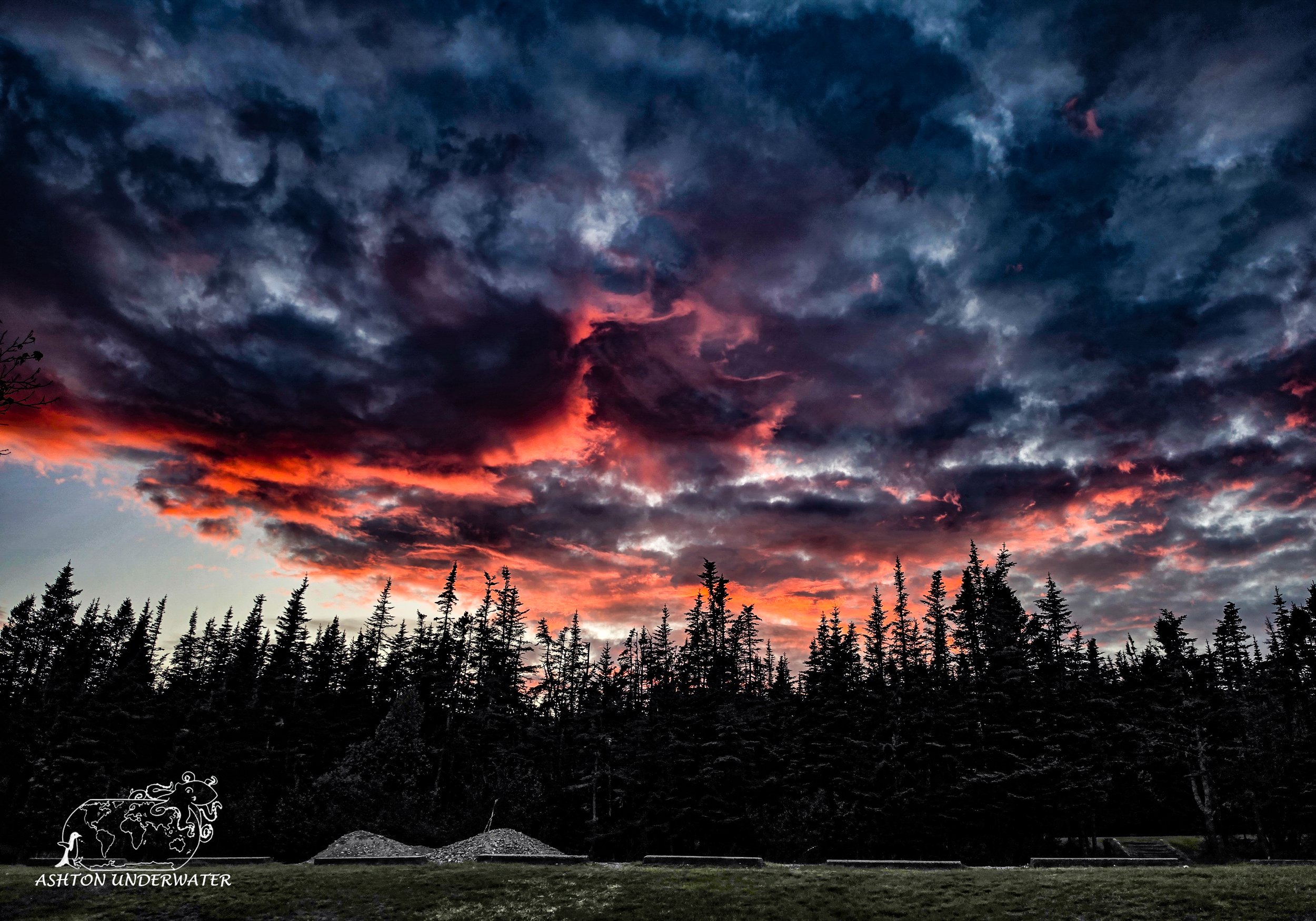
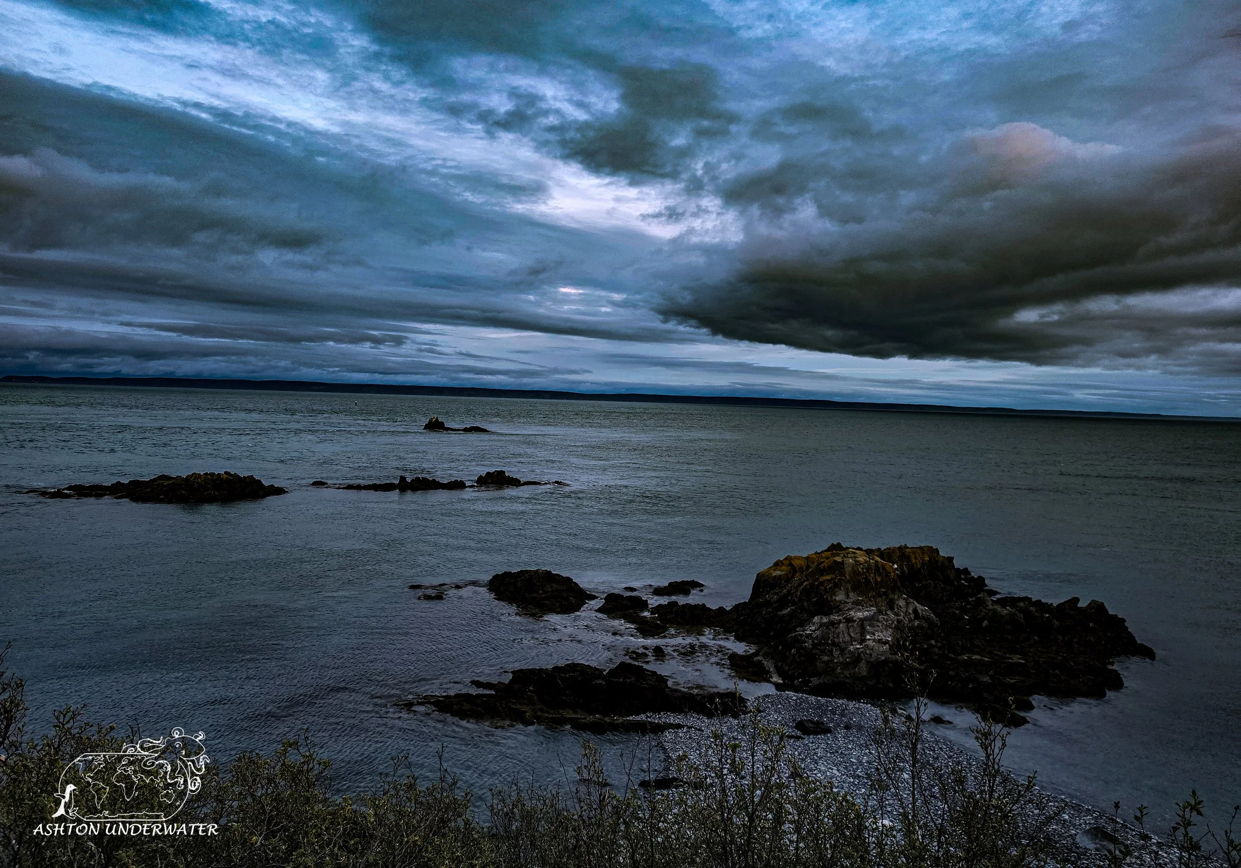
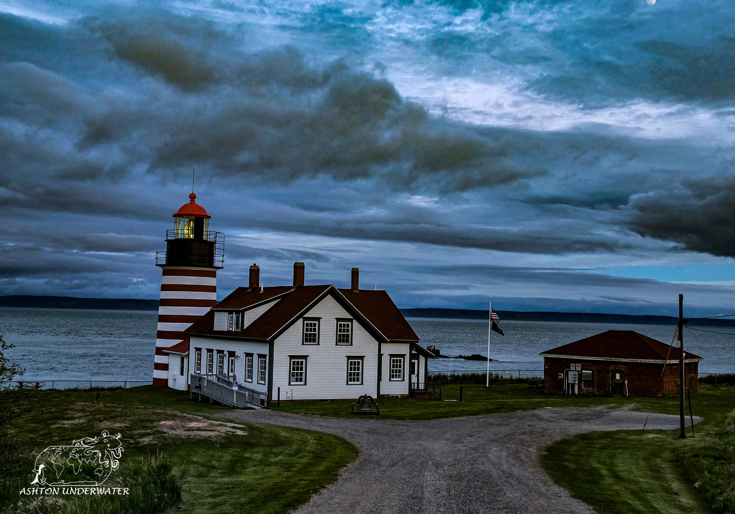
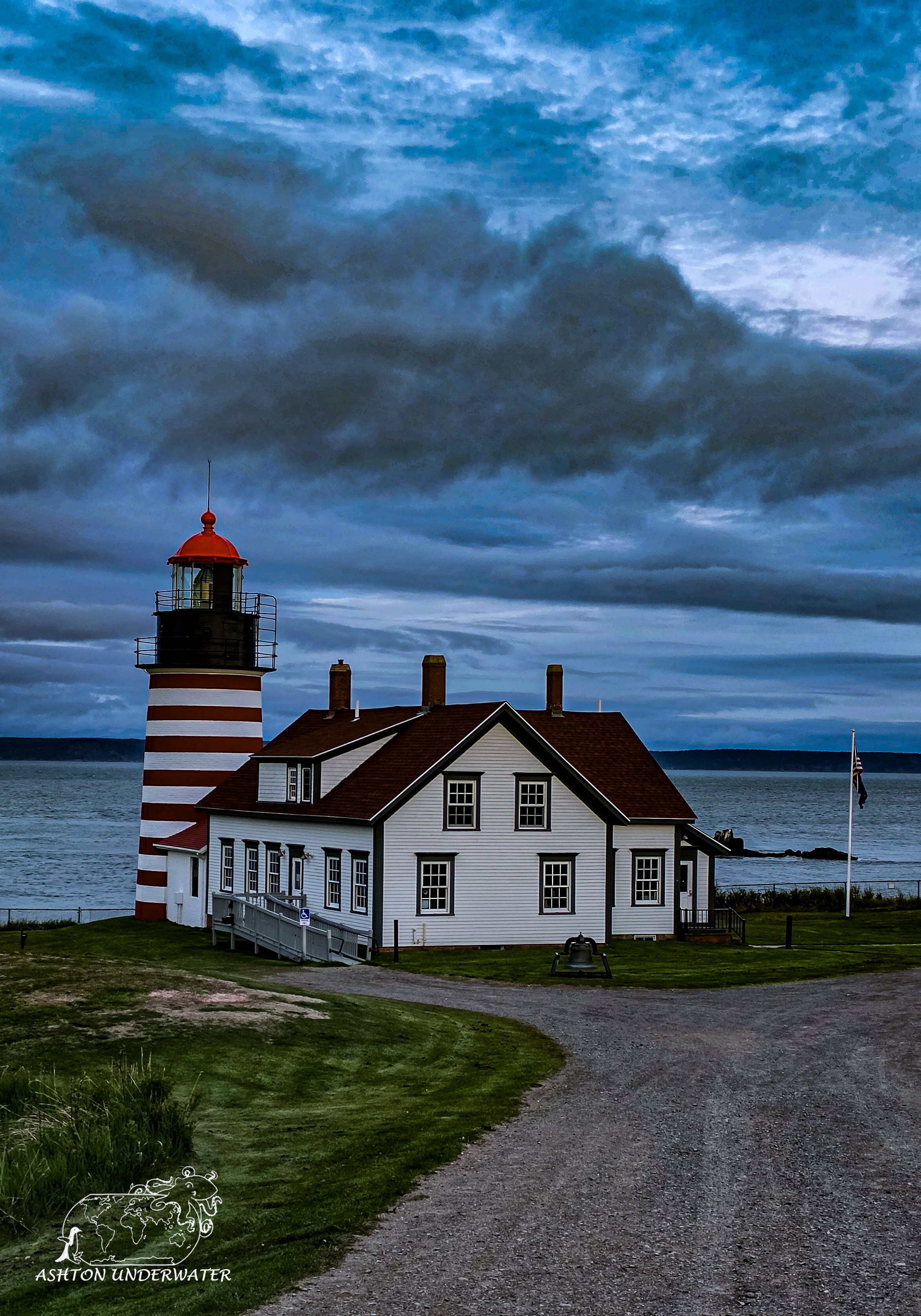
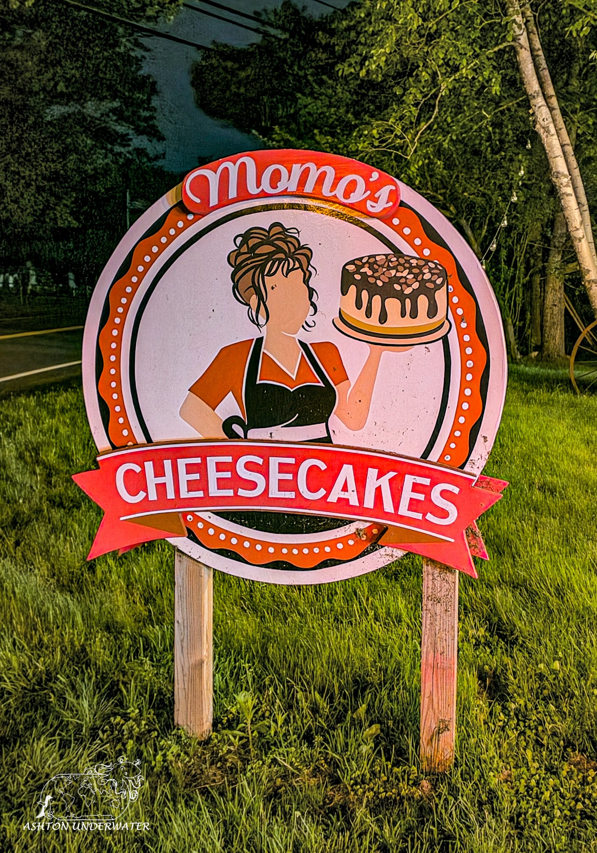
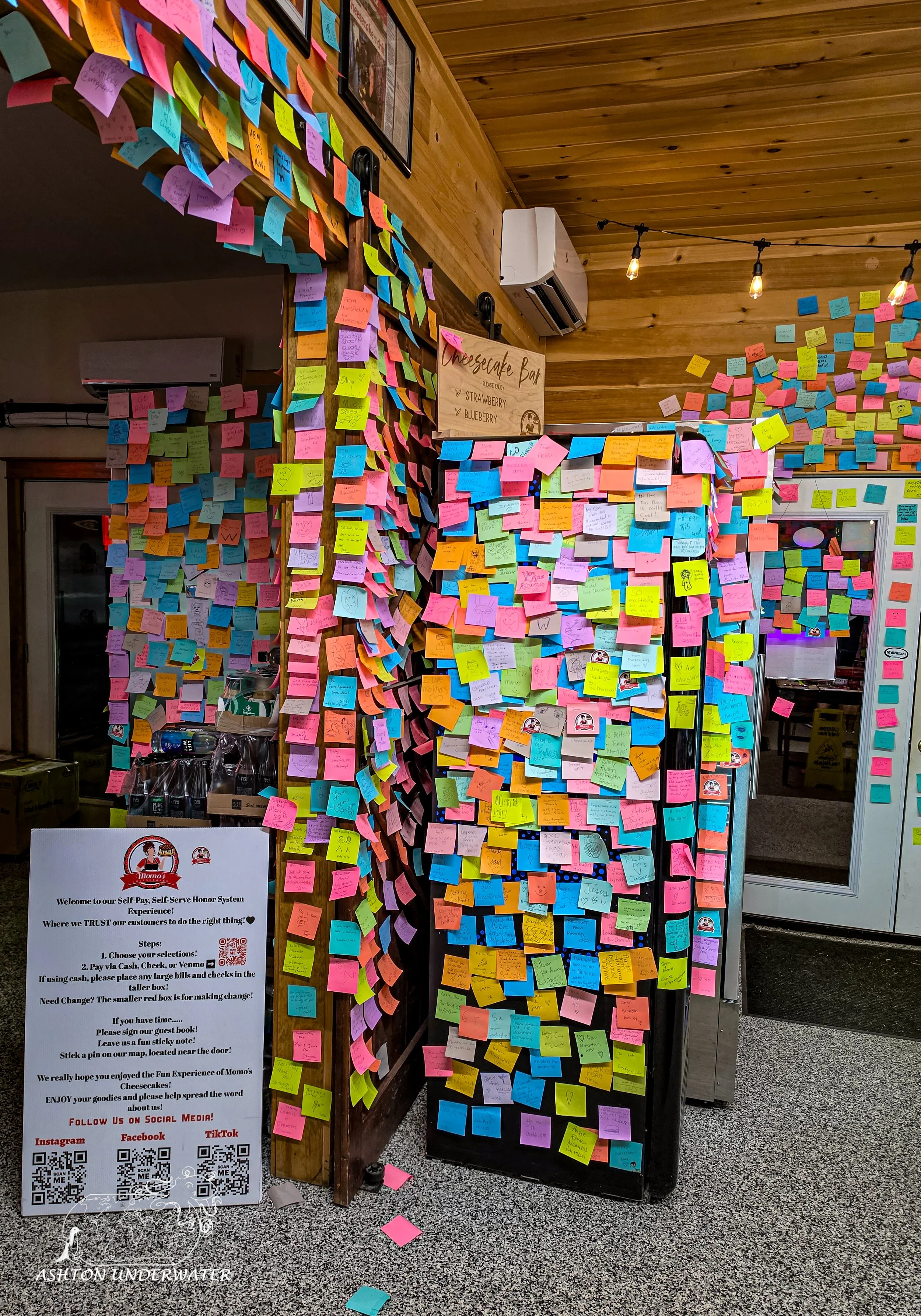
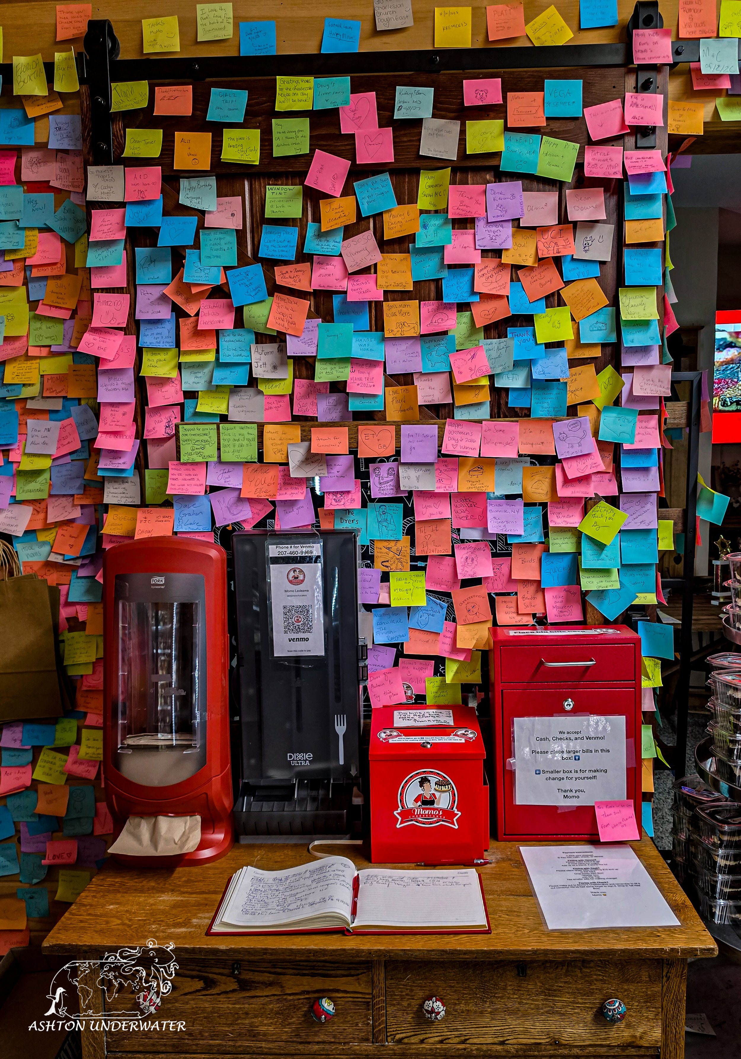
On our drive back we stopped by Momo’s Cheesecakes. This is a small family-owned honor based cheesecake shop located in Ellsworth, Maine. There are three coolers full of single serve cheesecakes and some full cheesecakes available for preorder. To pay there is a small cash box or Venmo code posted, with a smaller cash box to make change as needed. There are plenty of cheesecakes to choose from and it was definitely worth the stop. Full of cheesecake we drove back to our hotel and crashed for the long day of driving to Saint John, New Brunswick.
Leg Six: Maine to New Brunswick and Vermont
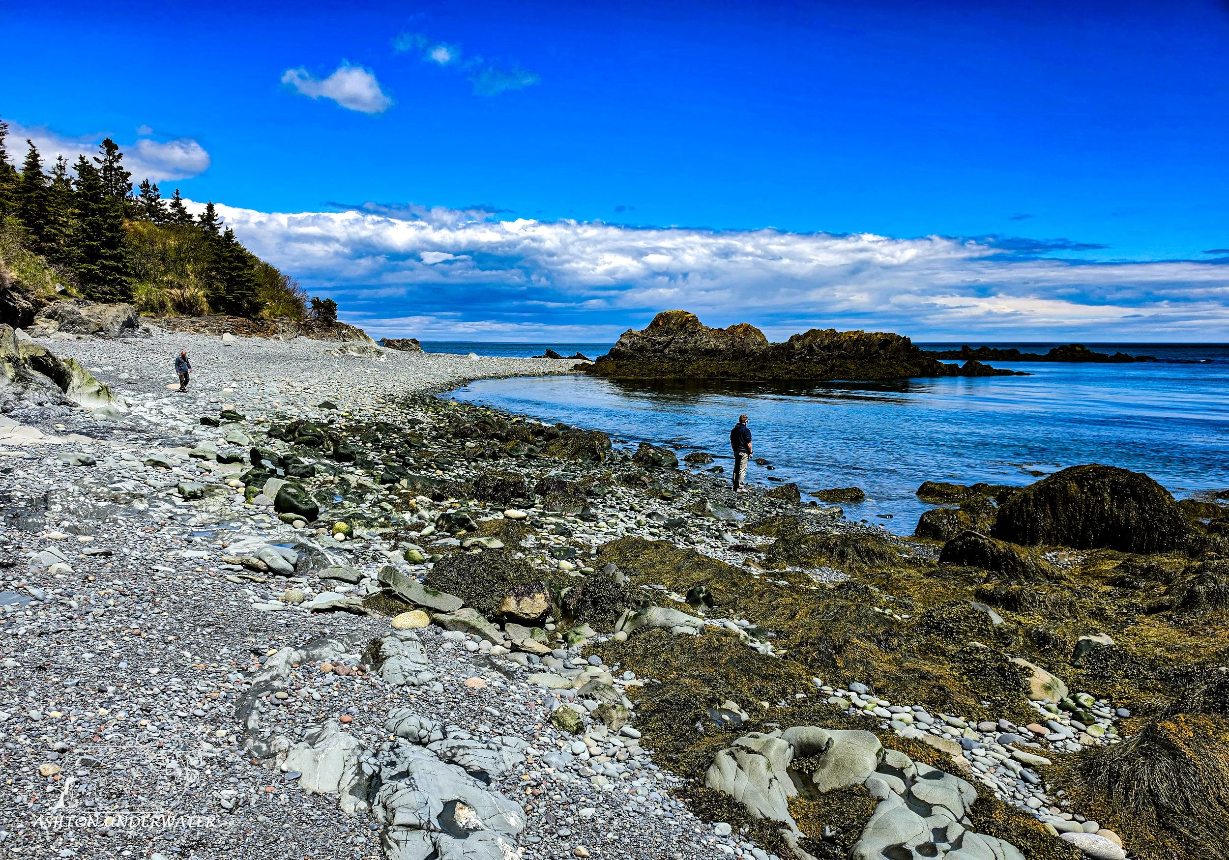
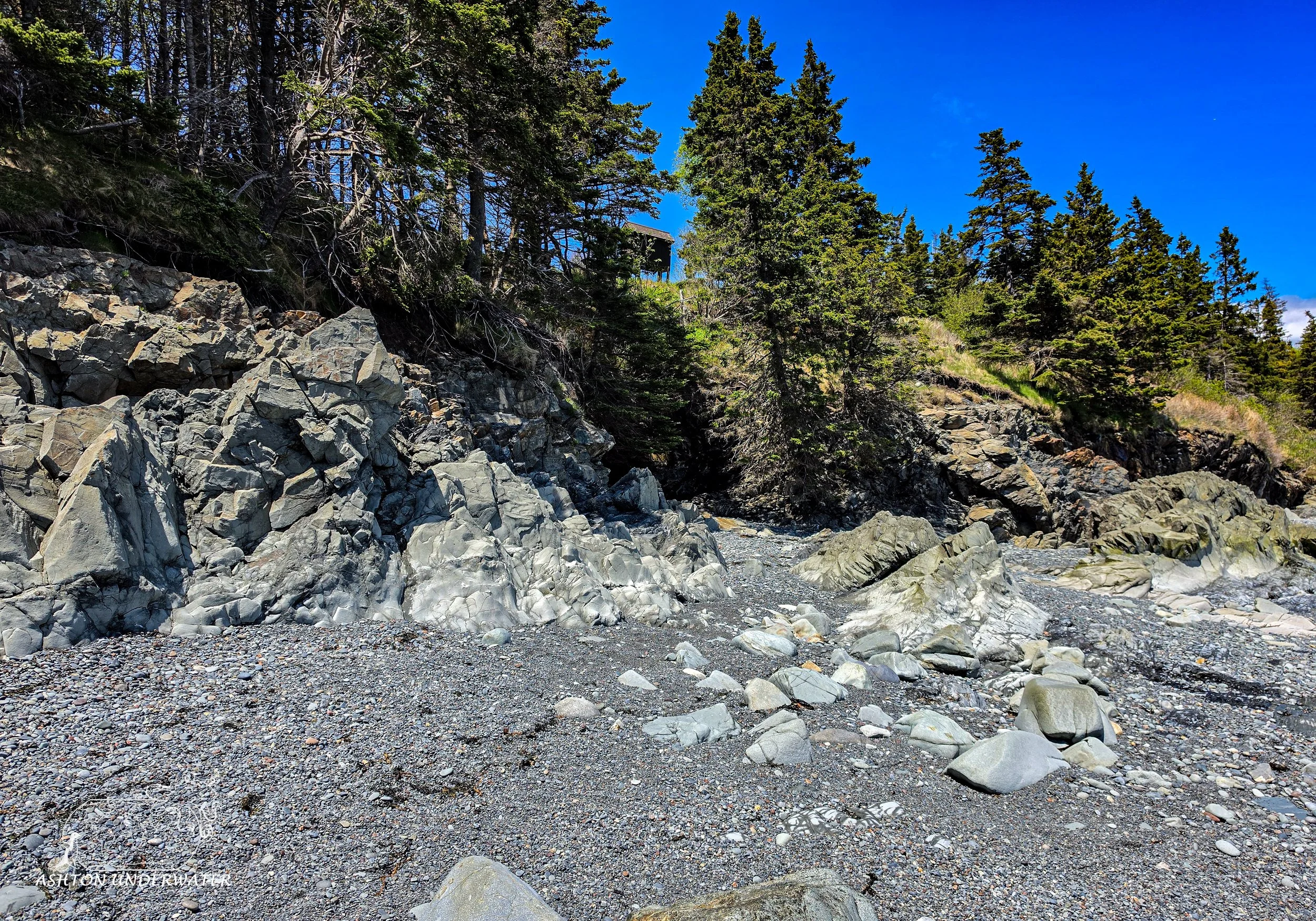
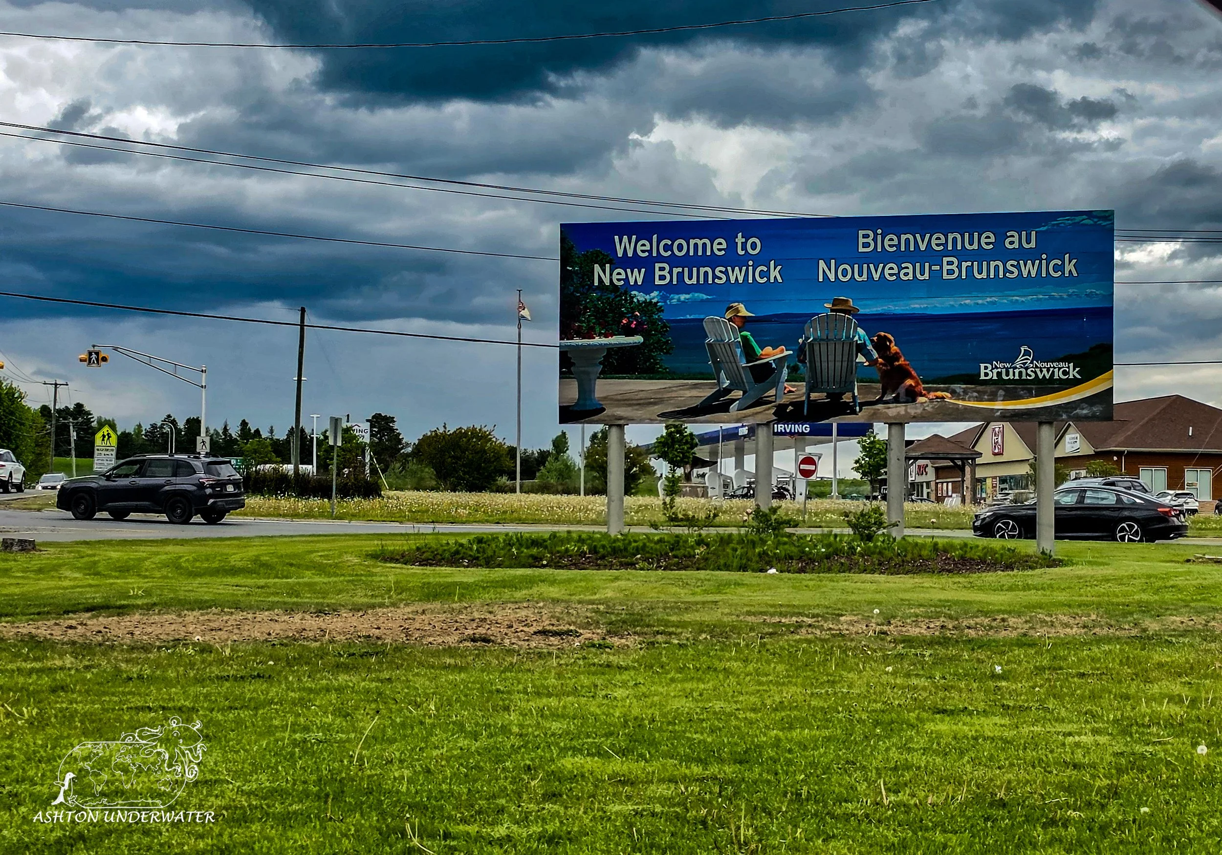
As part of the agreement of driving across the country was that we would also make a jaunt into New Brunswick, Canada to get a Starbucks coffee mug. Initially figured no big deal, hope the border, run in, run out, back on our way. Simple. Except, the closest Starbucks is in Saint John, New Brunswick, roughly two hours over the border, and we were staying at least an hour from the border. But an agreement is an agreement and so back east we went, with another stop by Lubec for photos under different lighting conditions and some hiking. Plus, a gift shop! As we hiked there were some sketchier paths, with vertical drops down into jagged rocky tide pools and after over a week in a car together, with little to no time apart, there were several comments were made that we could make it look like an accident and no one would know the difference if one of us “slipped” and fell. We stayed on opposite sides of the rocks going forward after that.
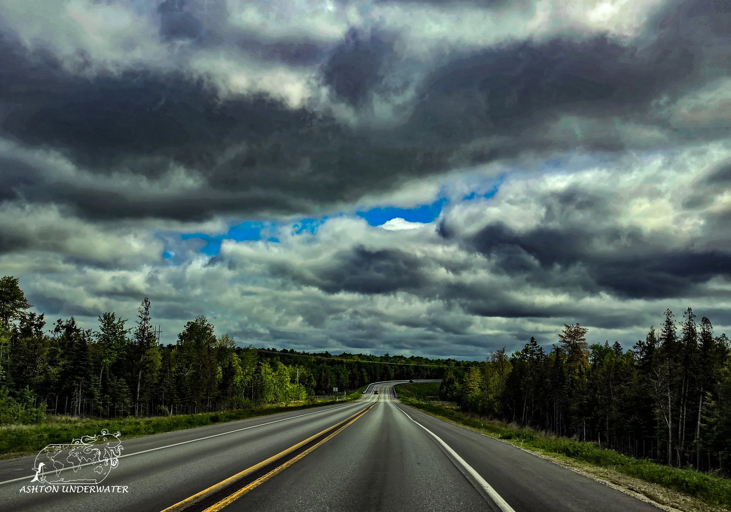
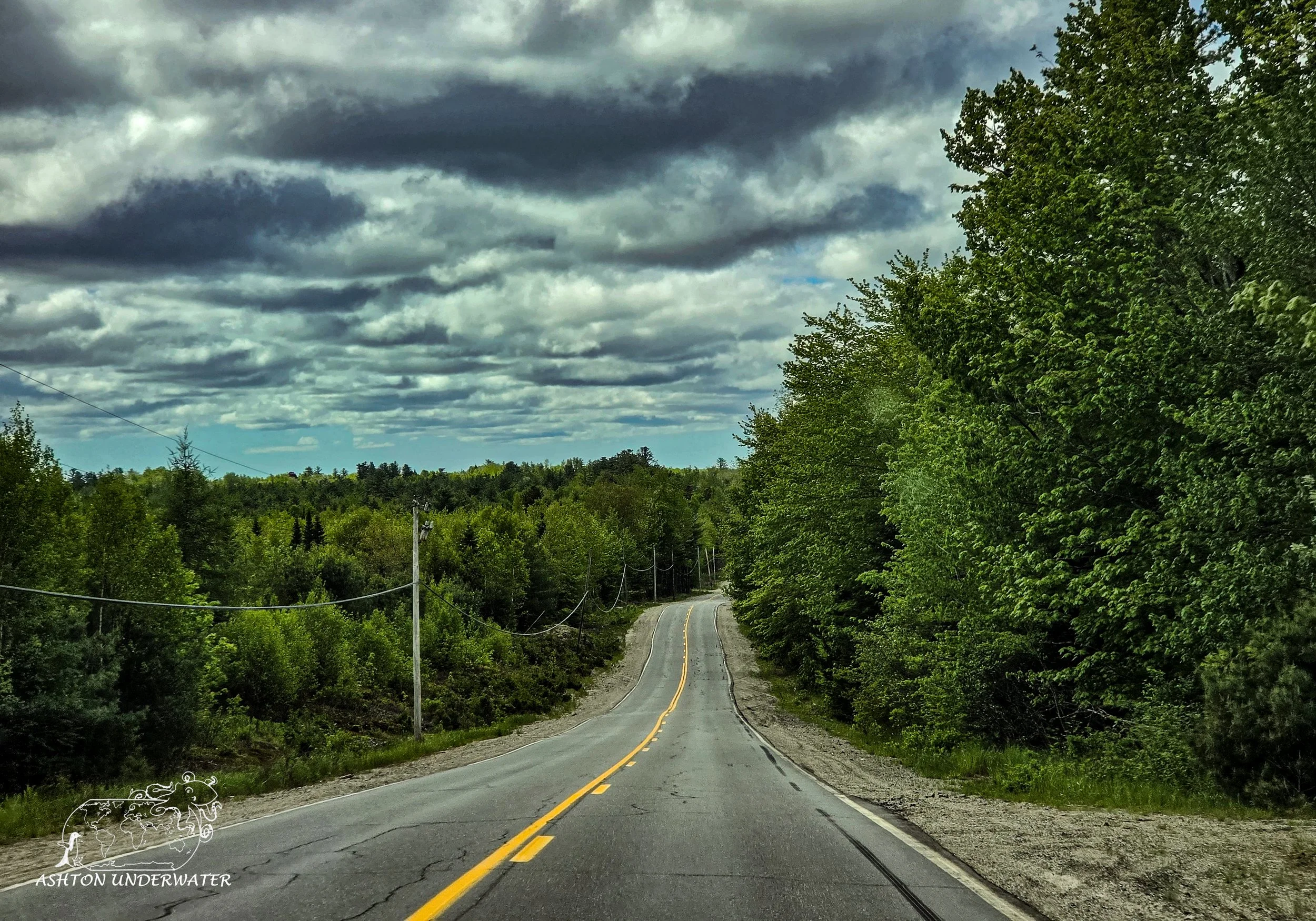
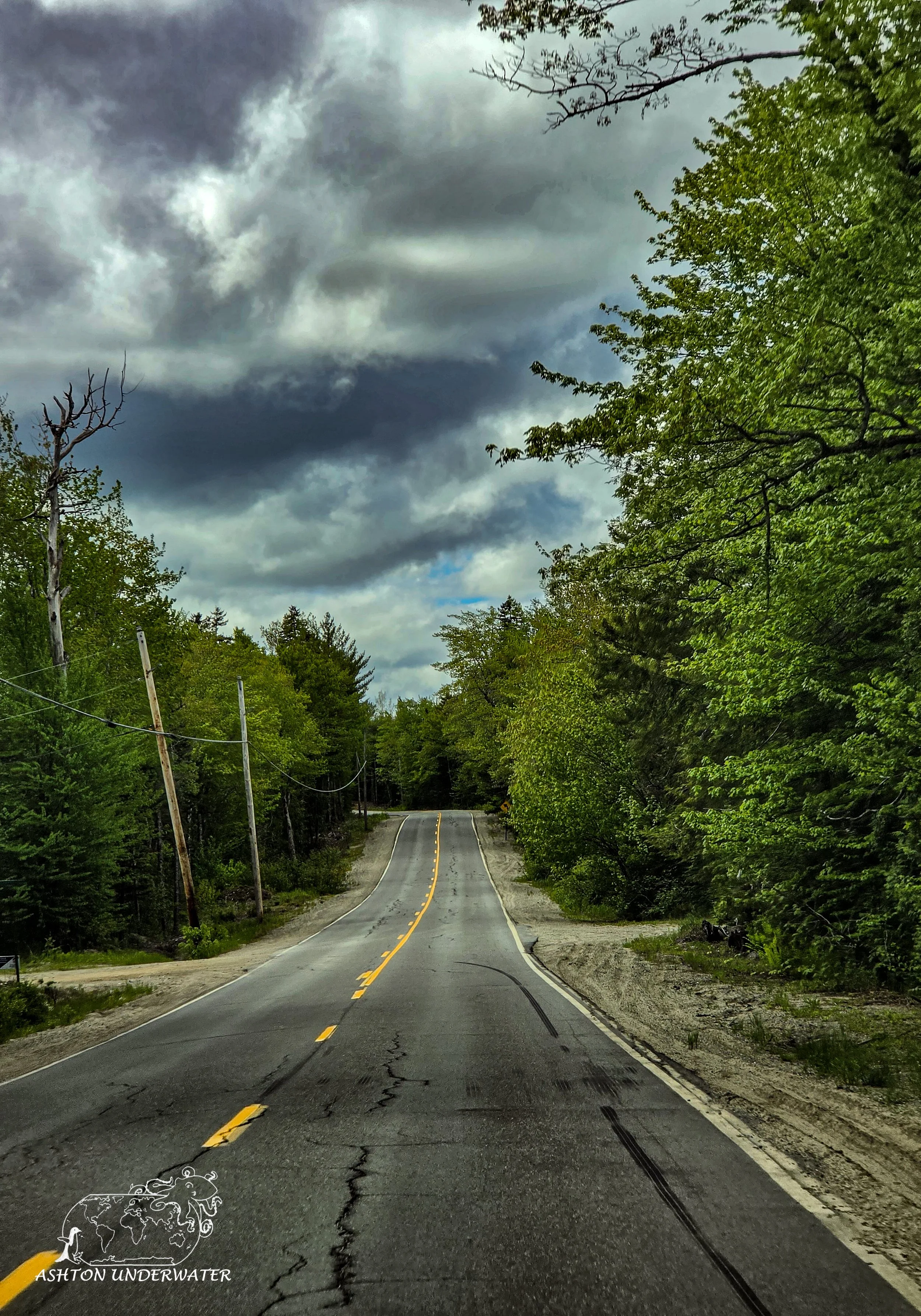
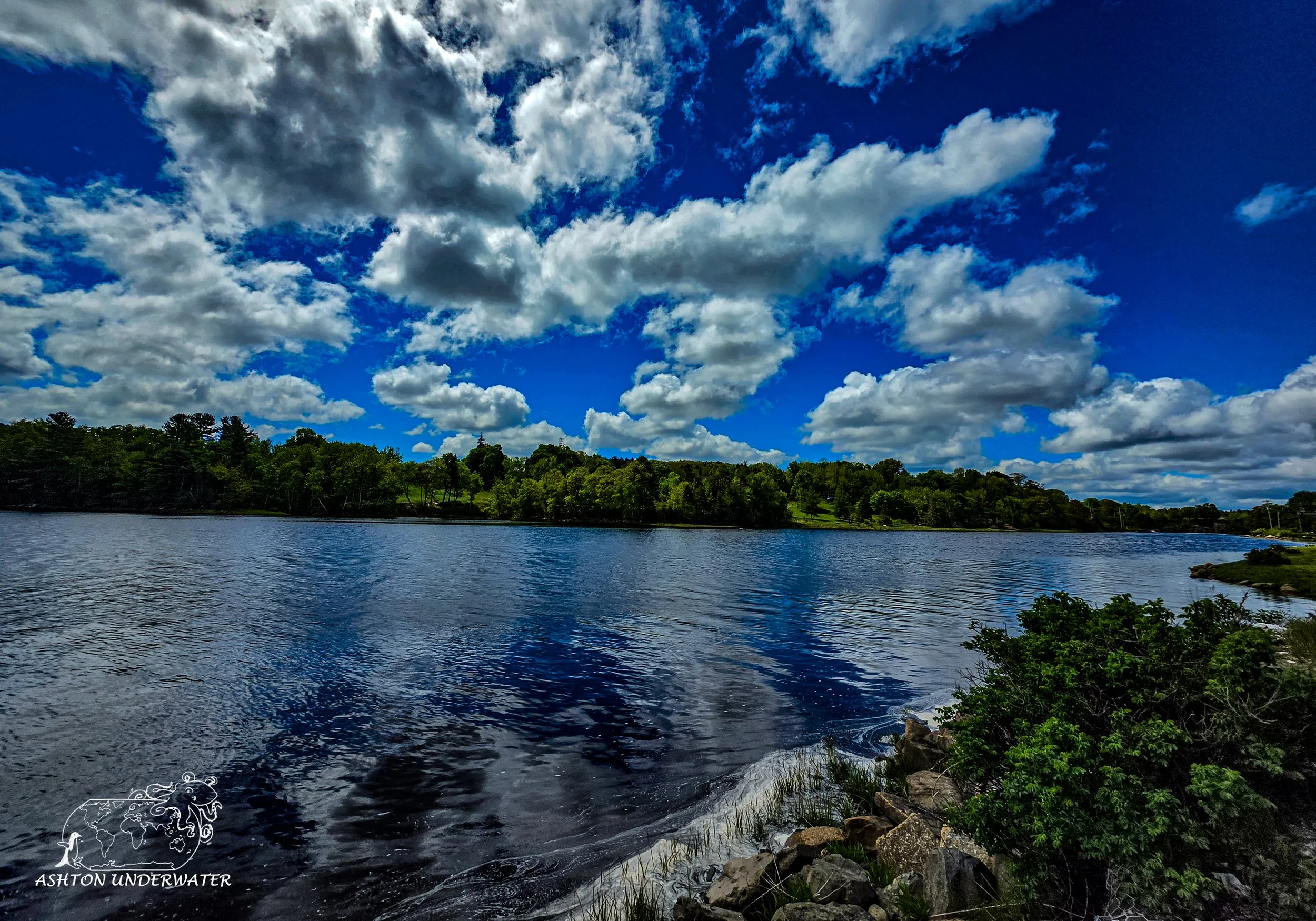
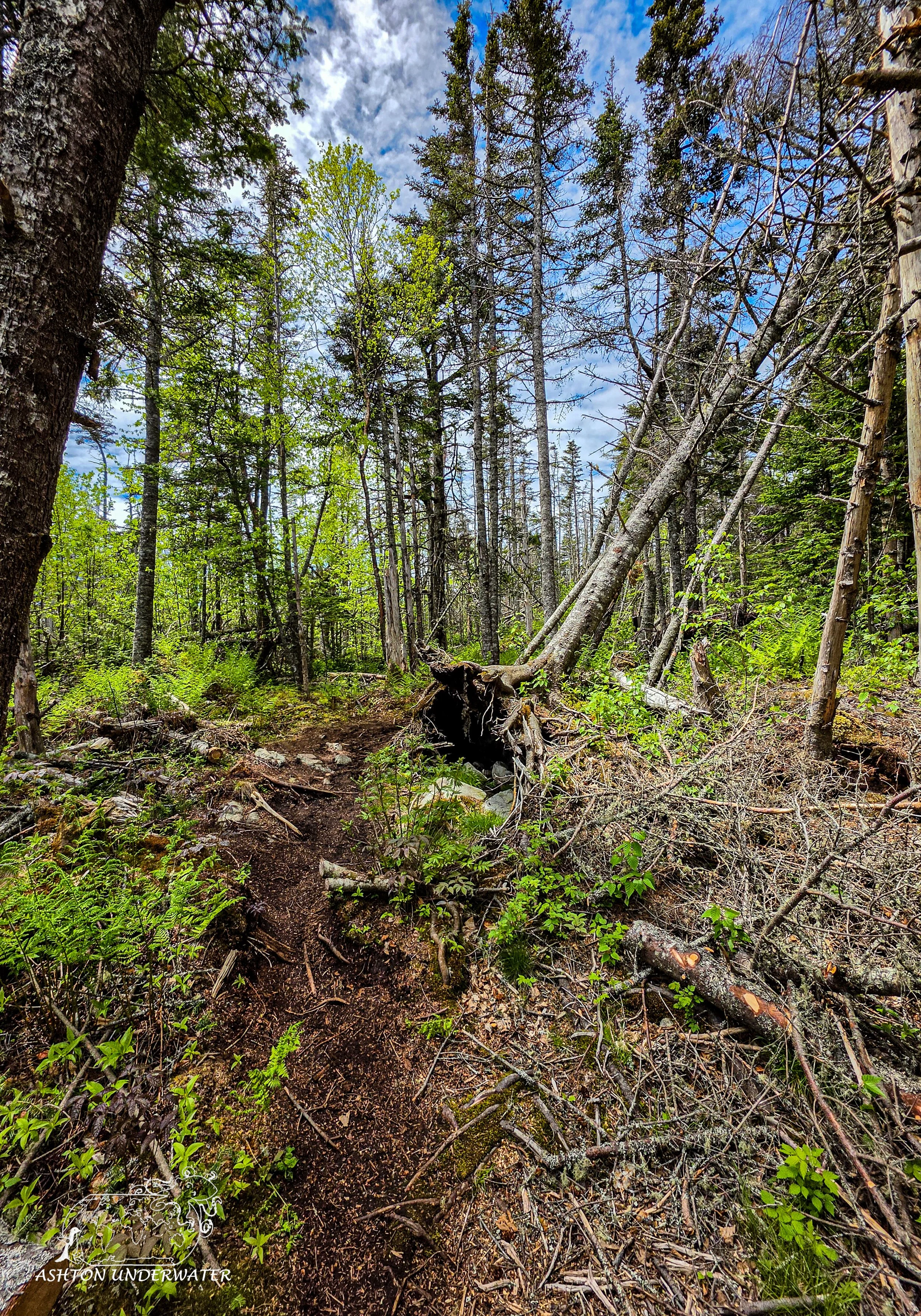
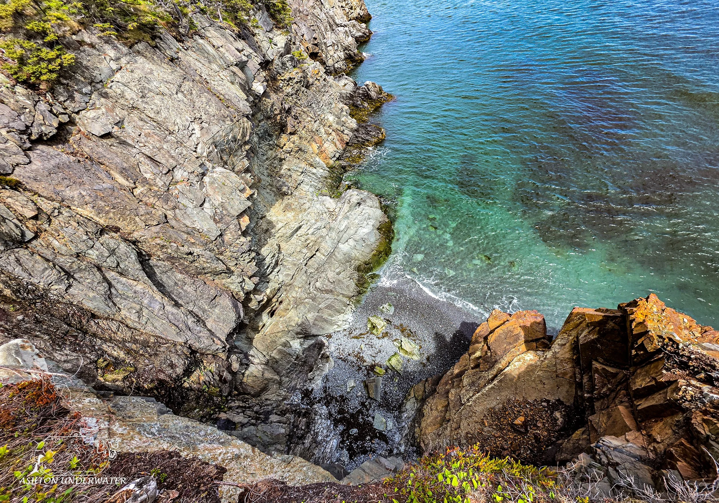
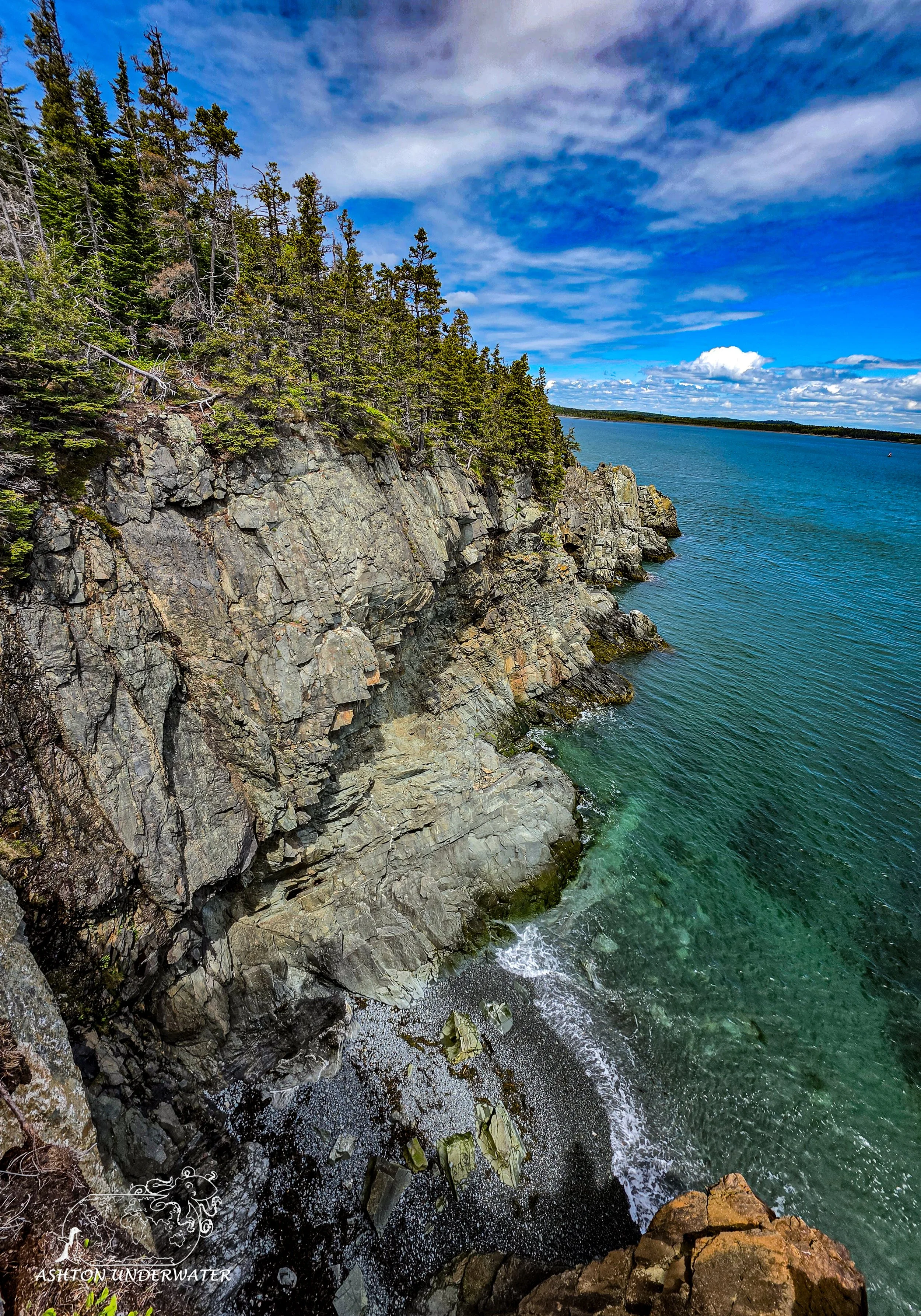
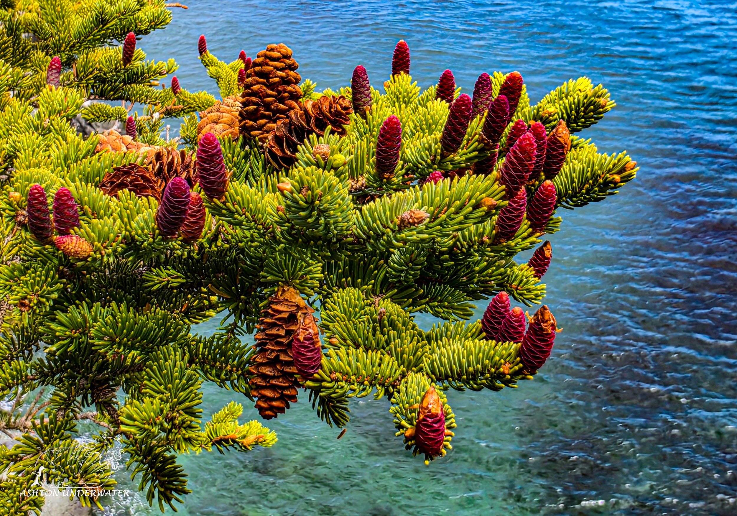
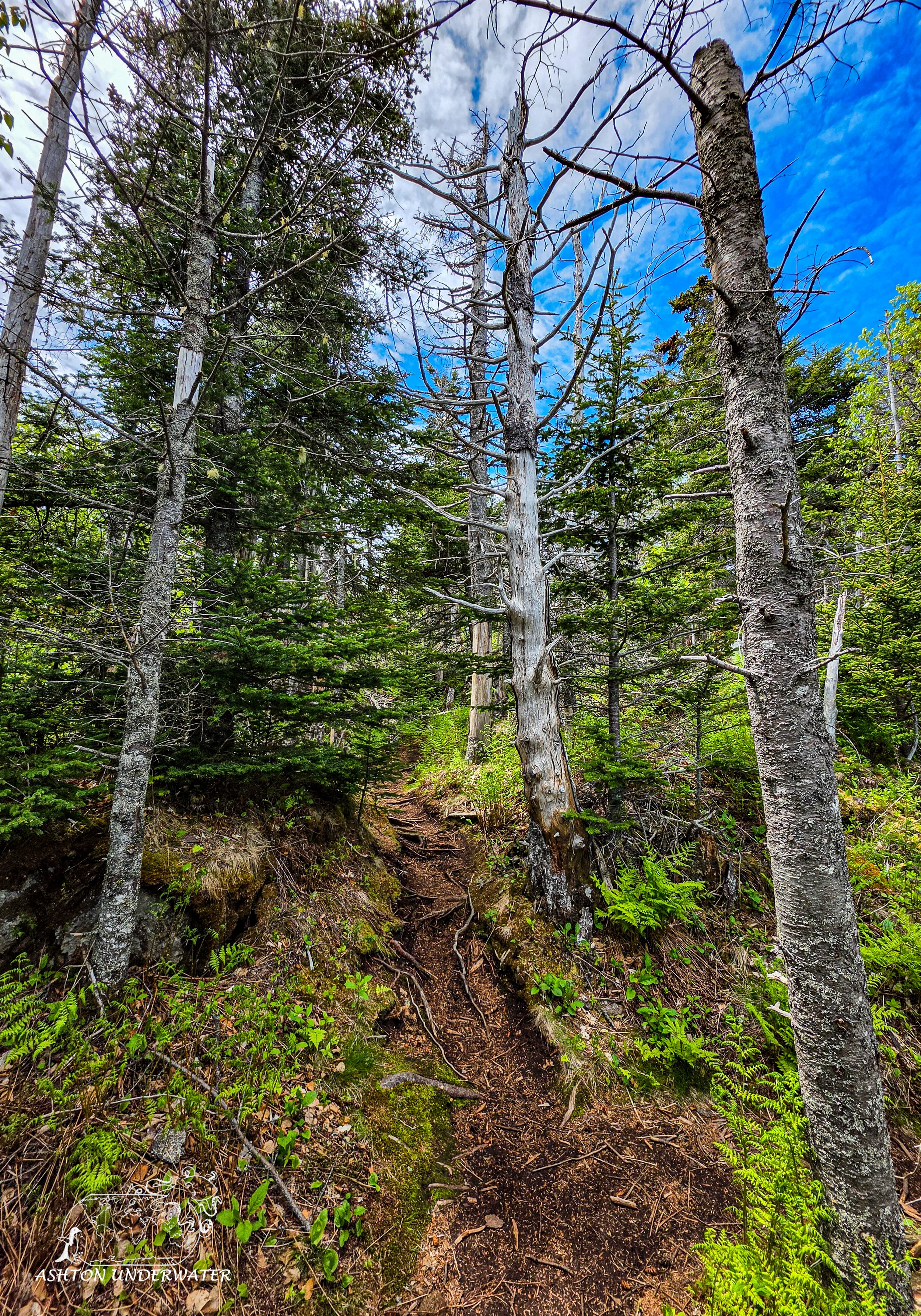
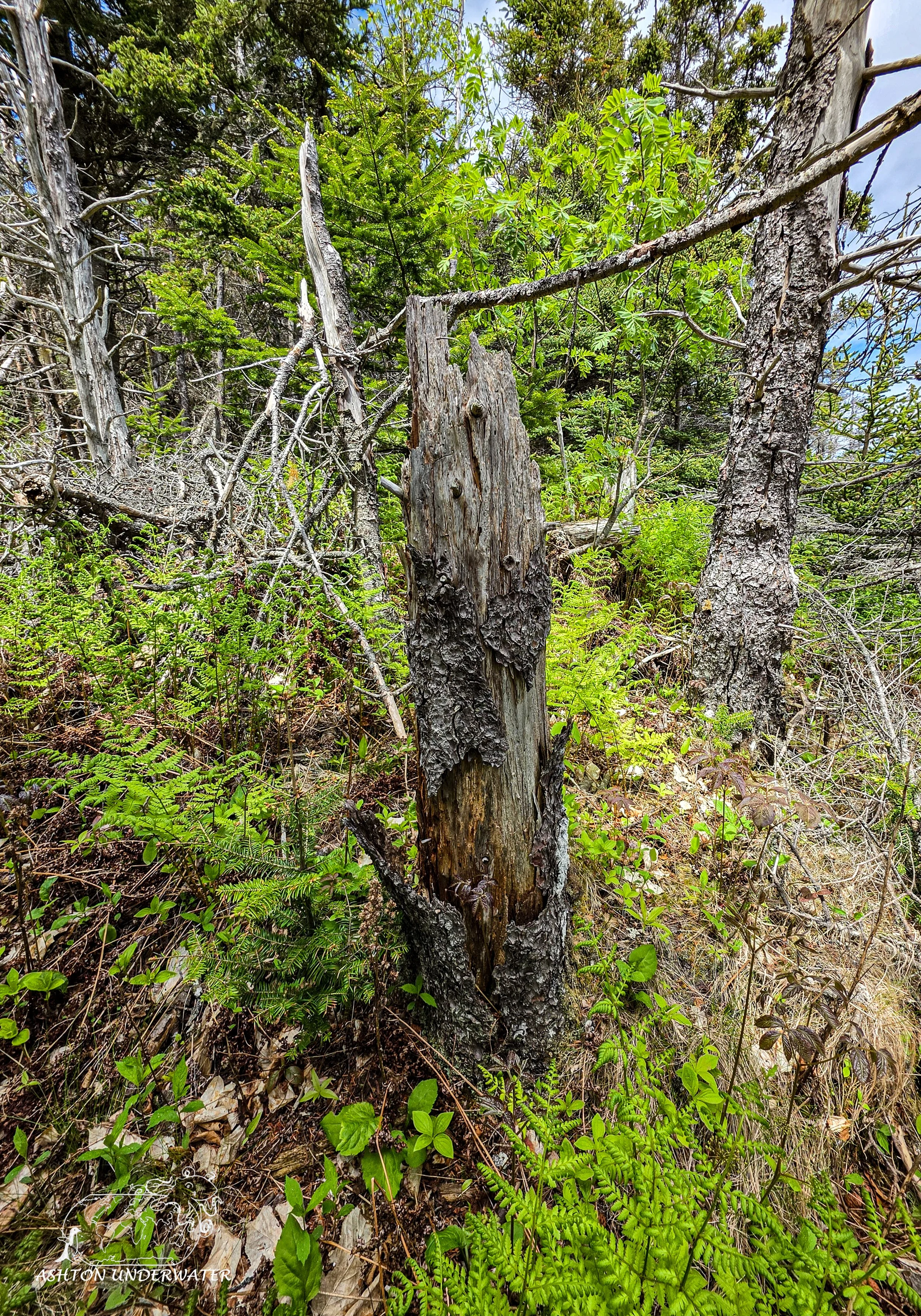
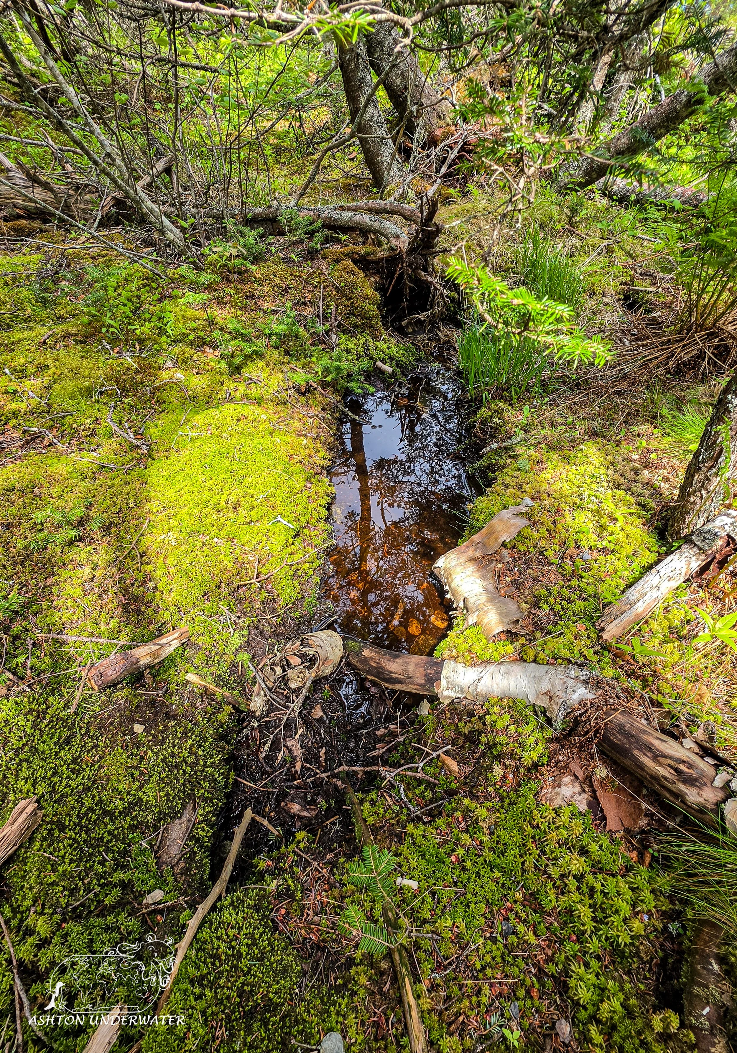
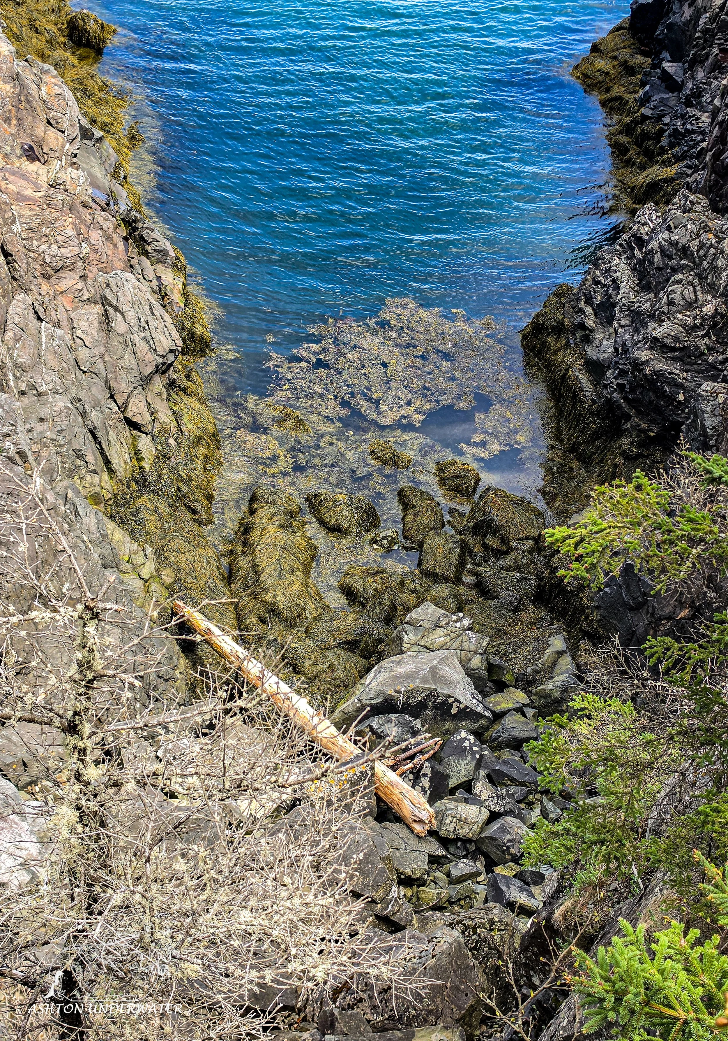
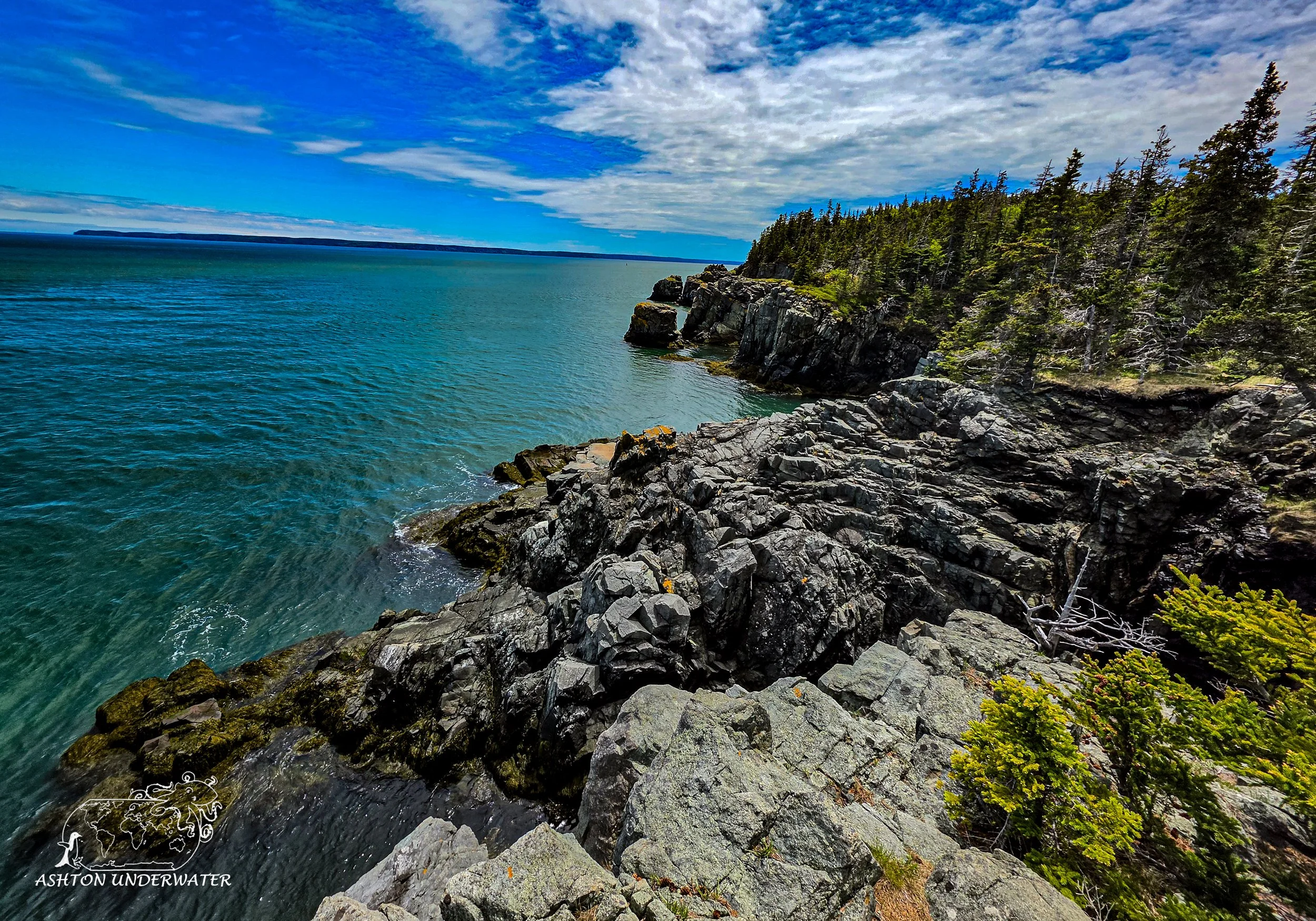
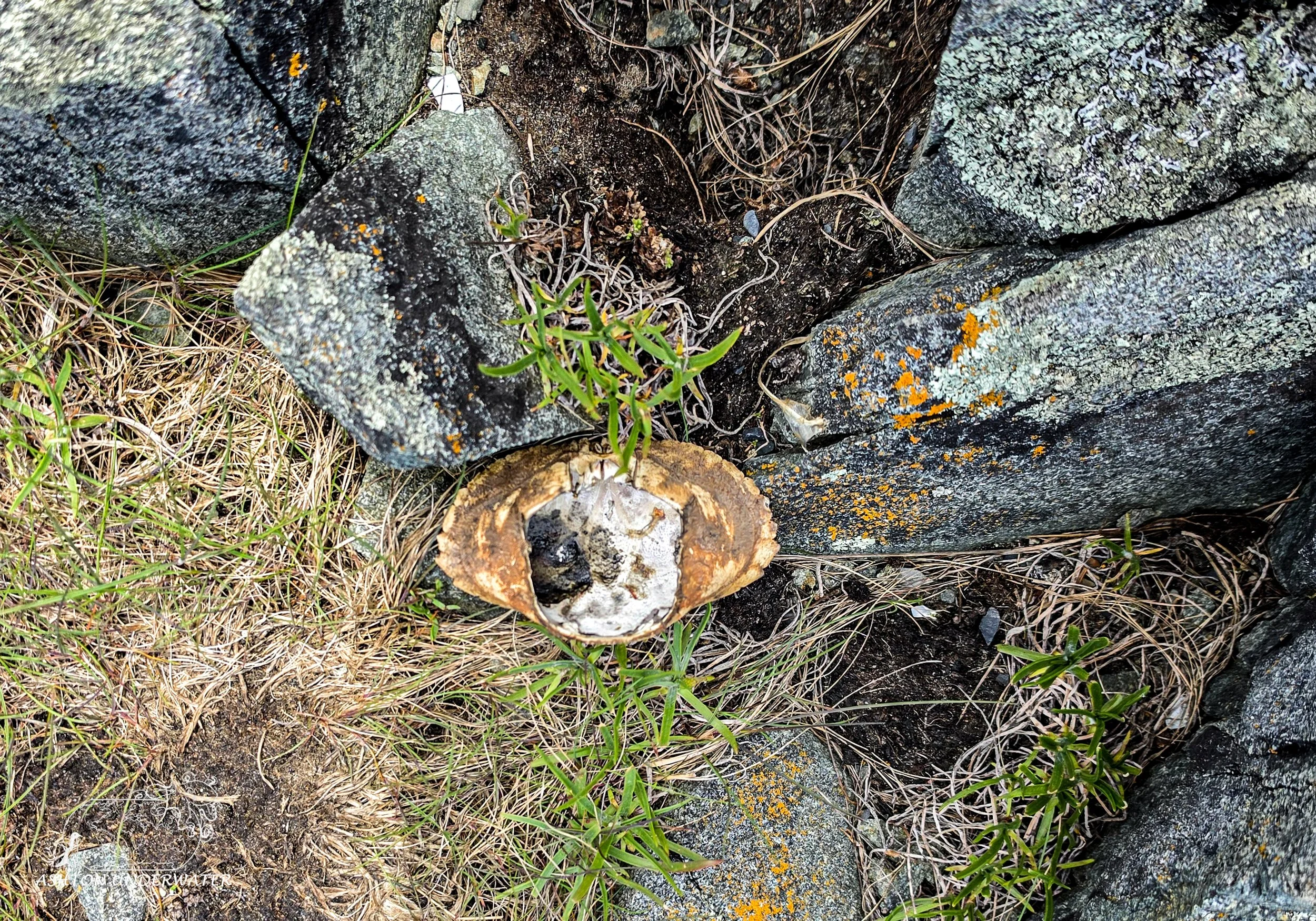
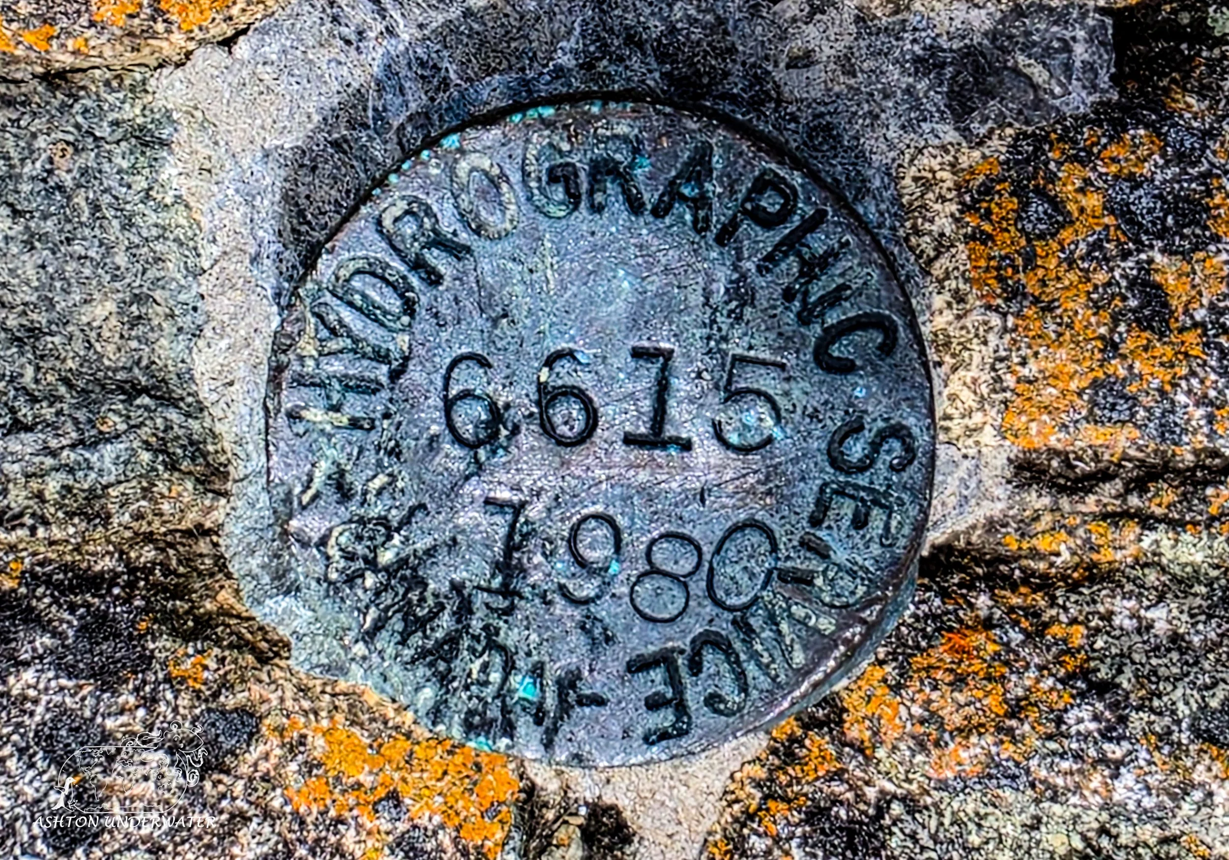
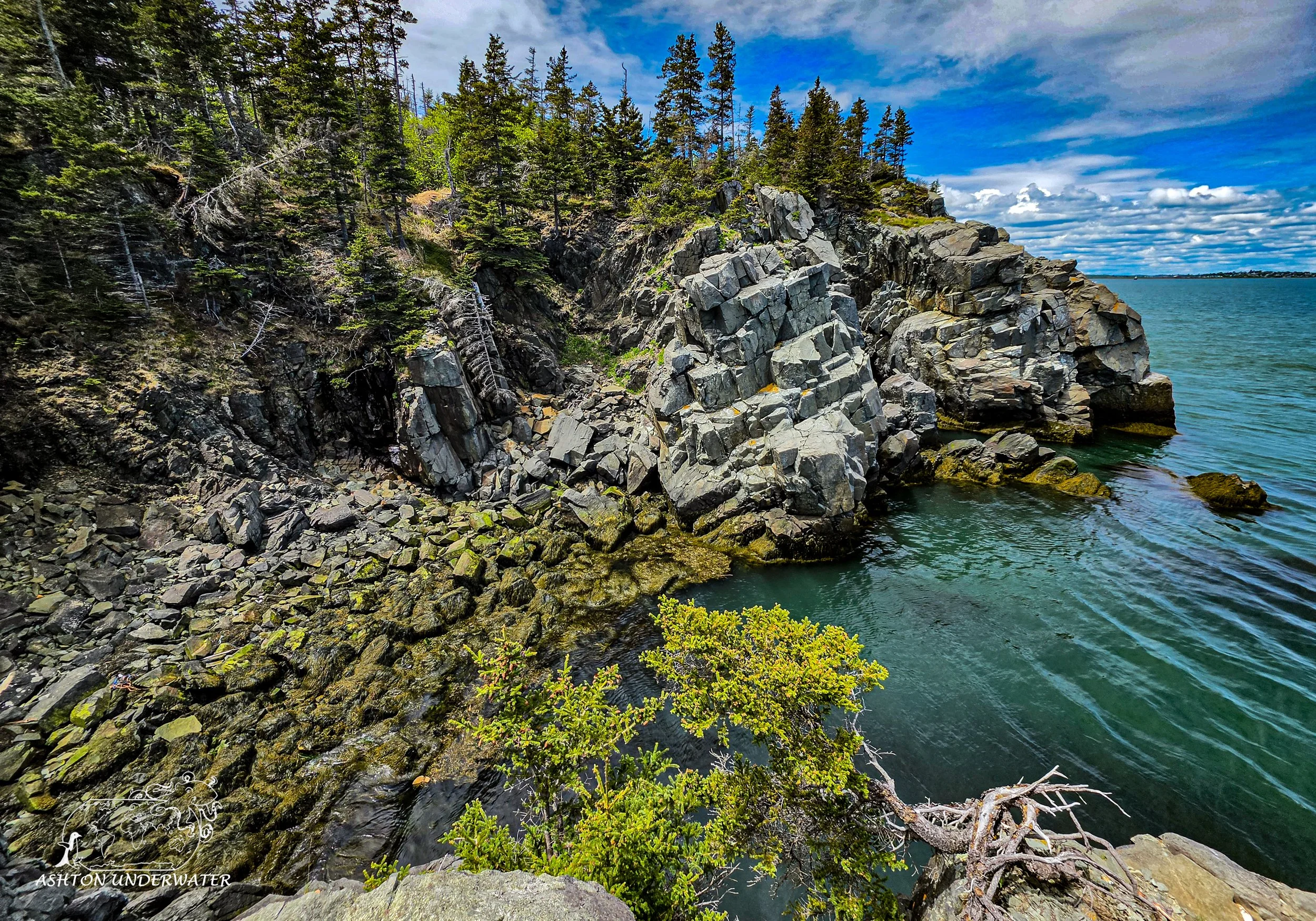
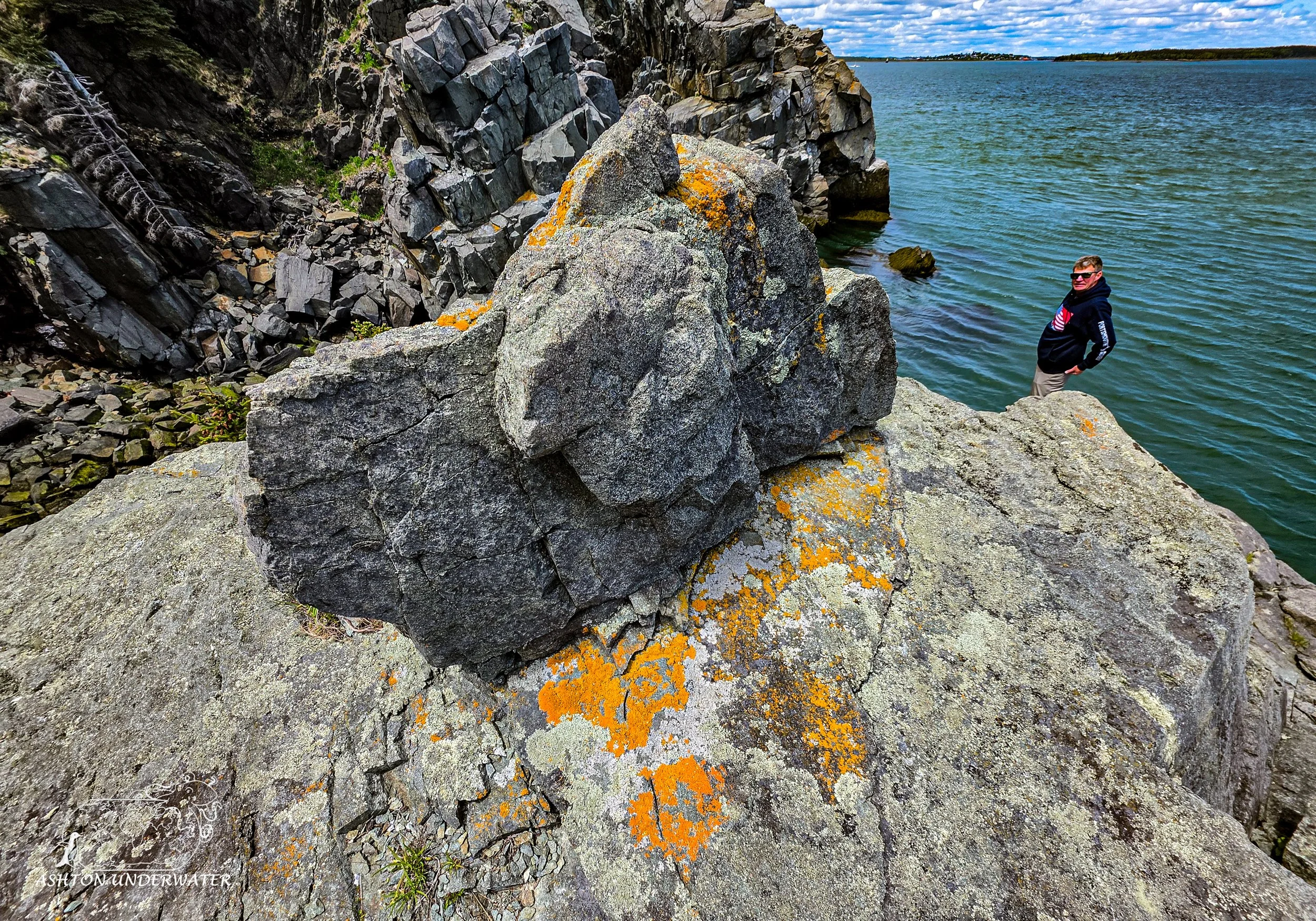
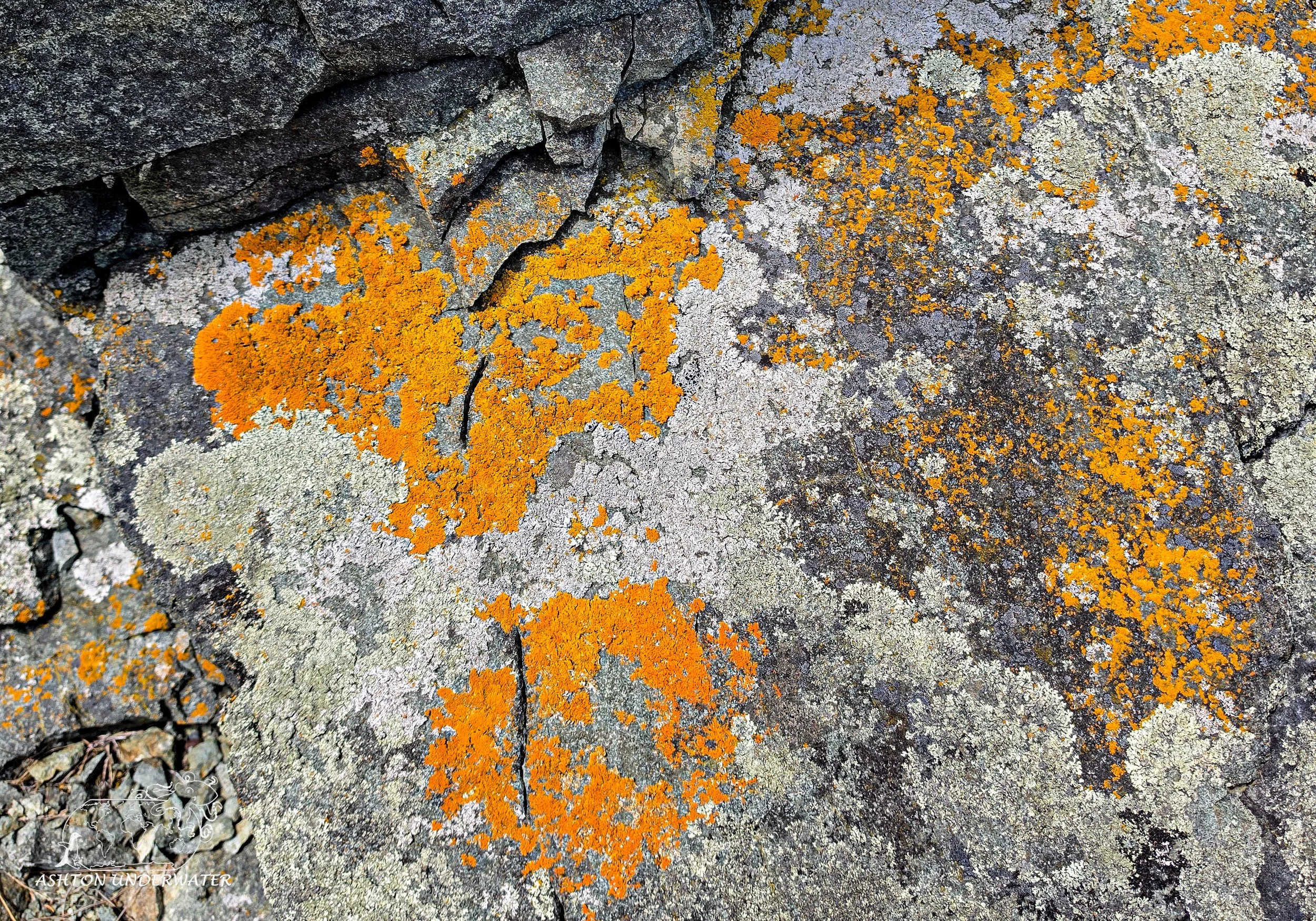
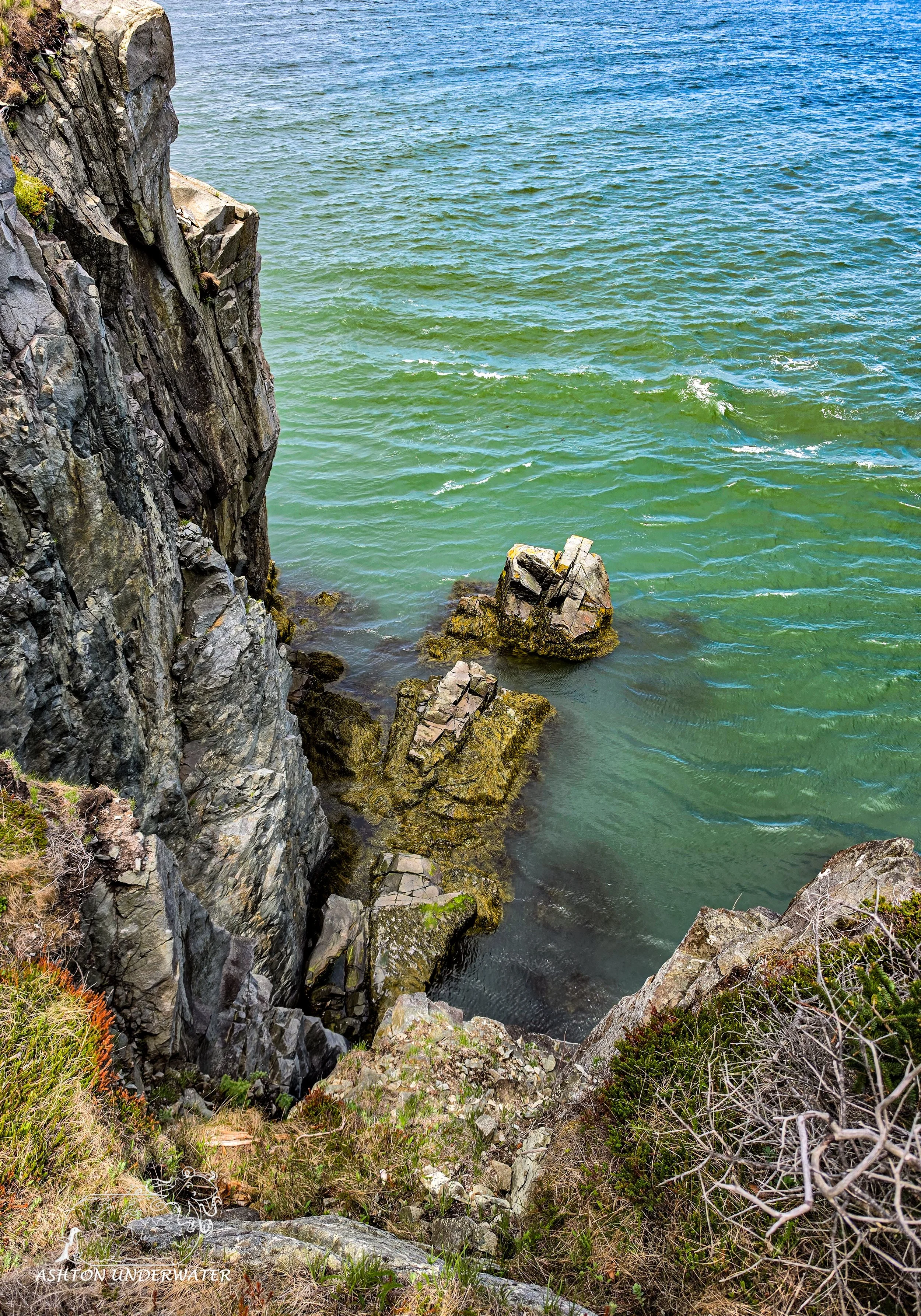
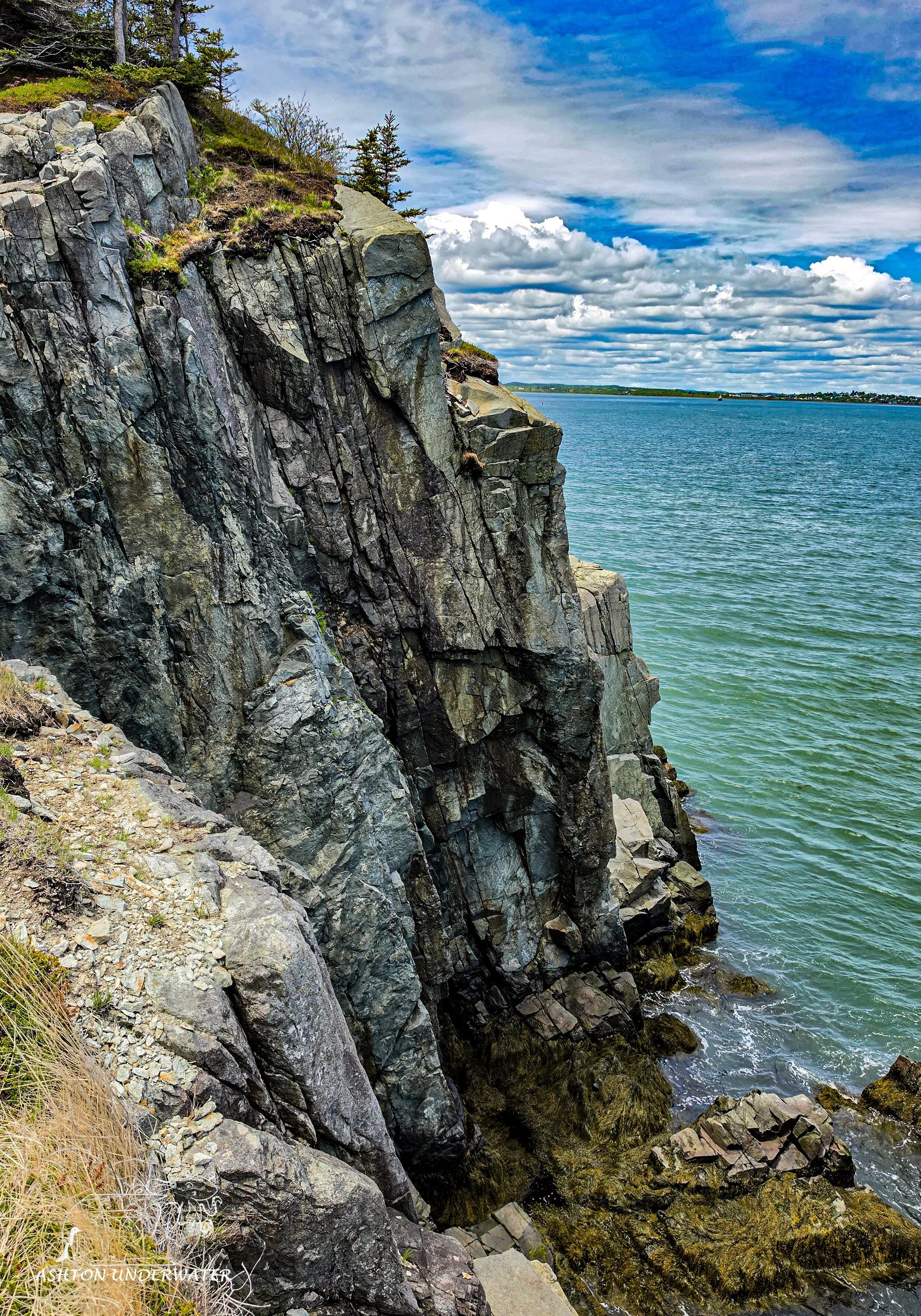
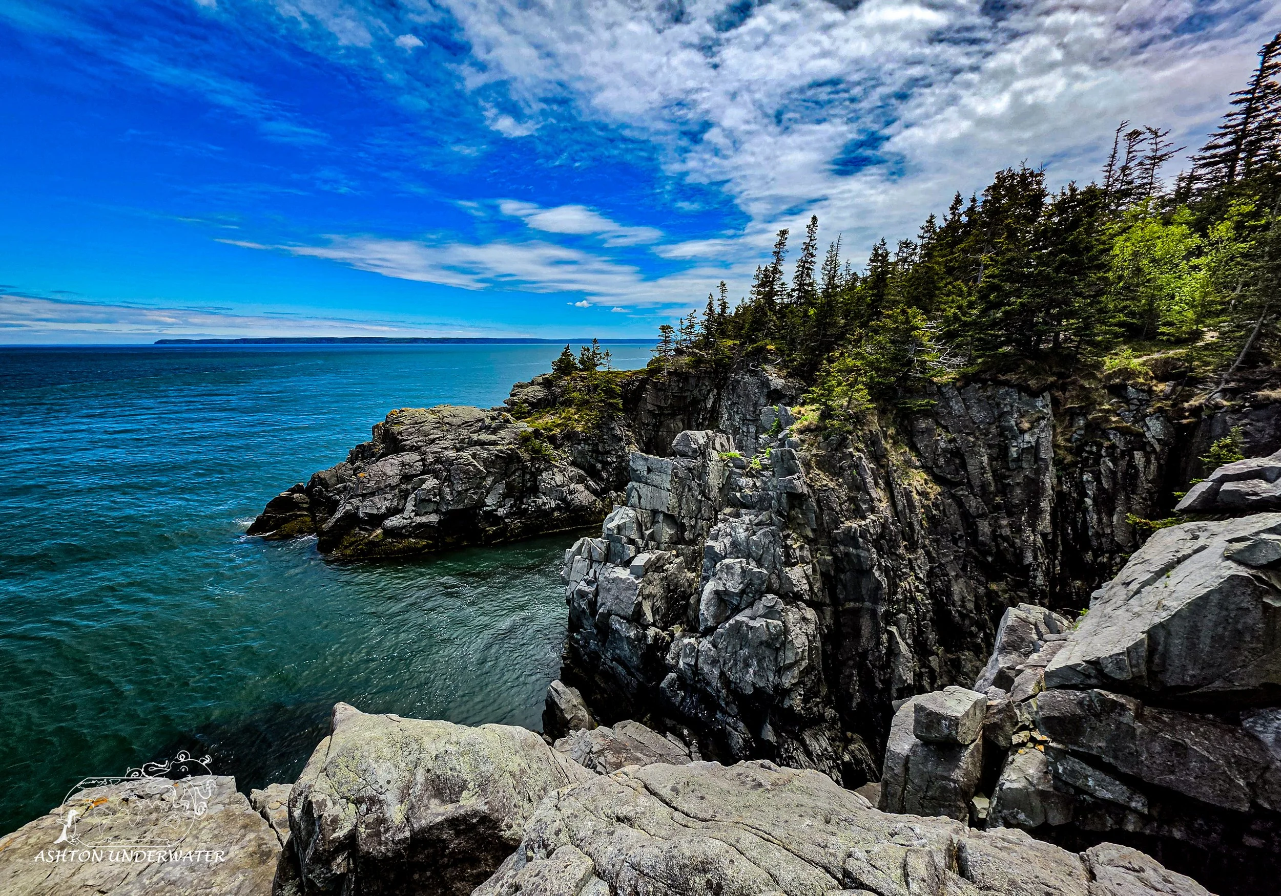
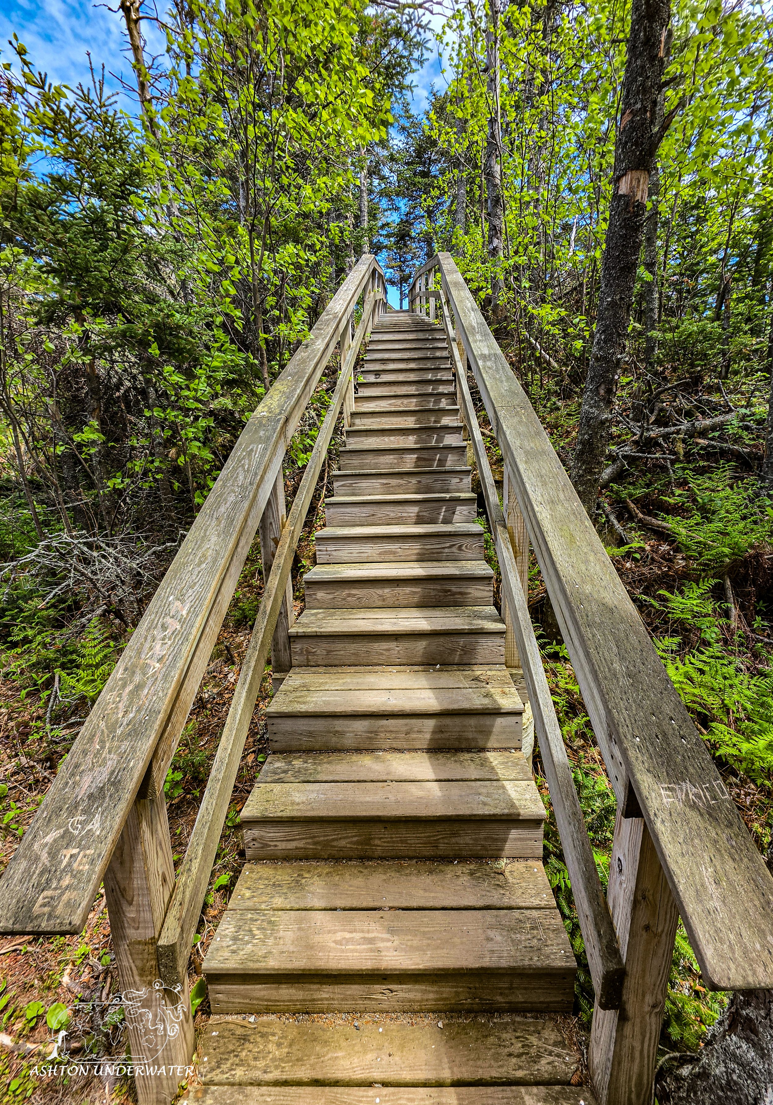
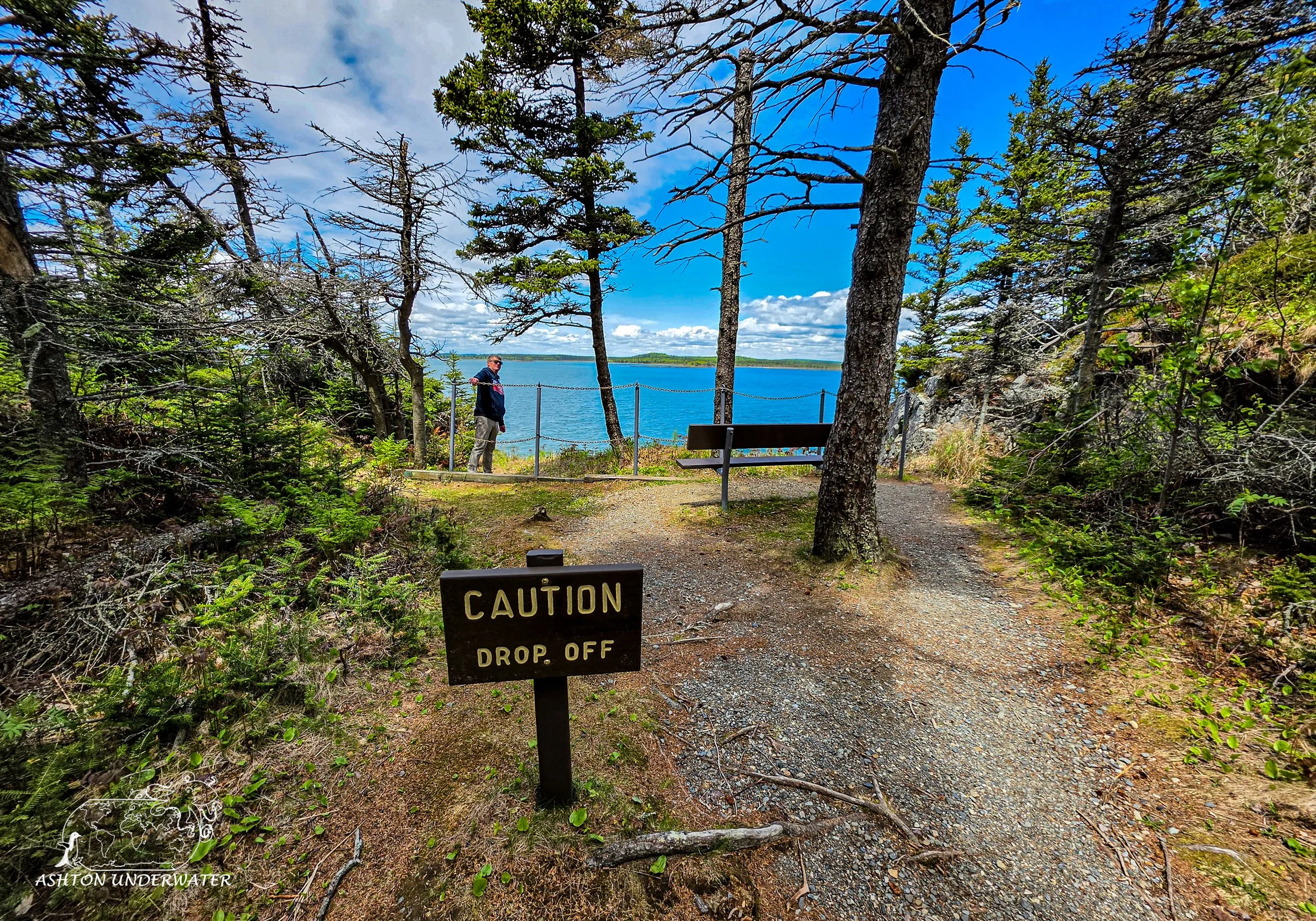
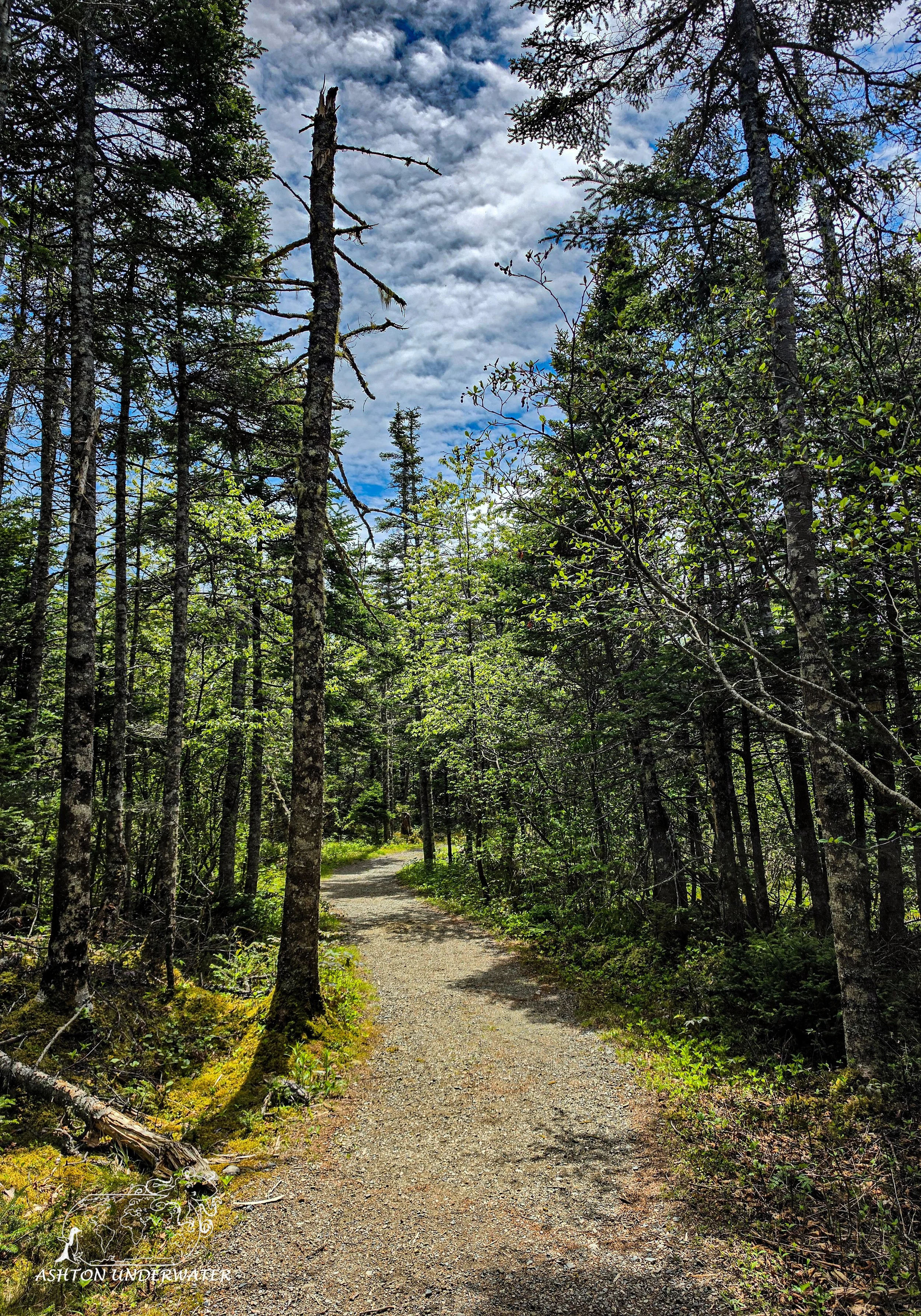
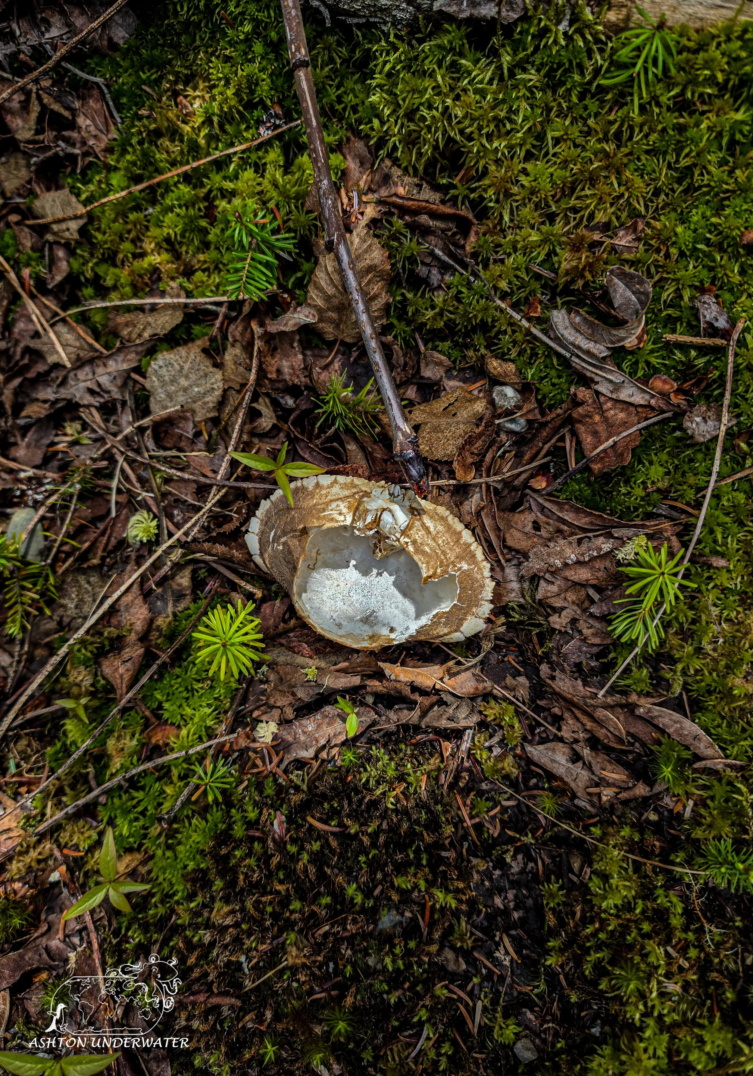
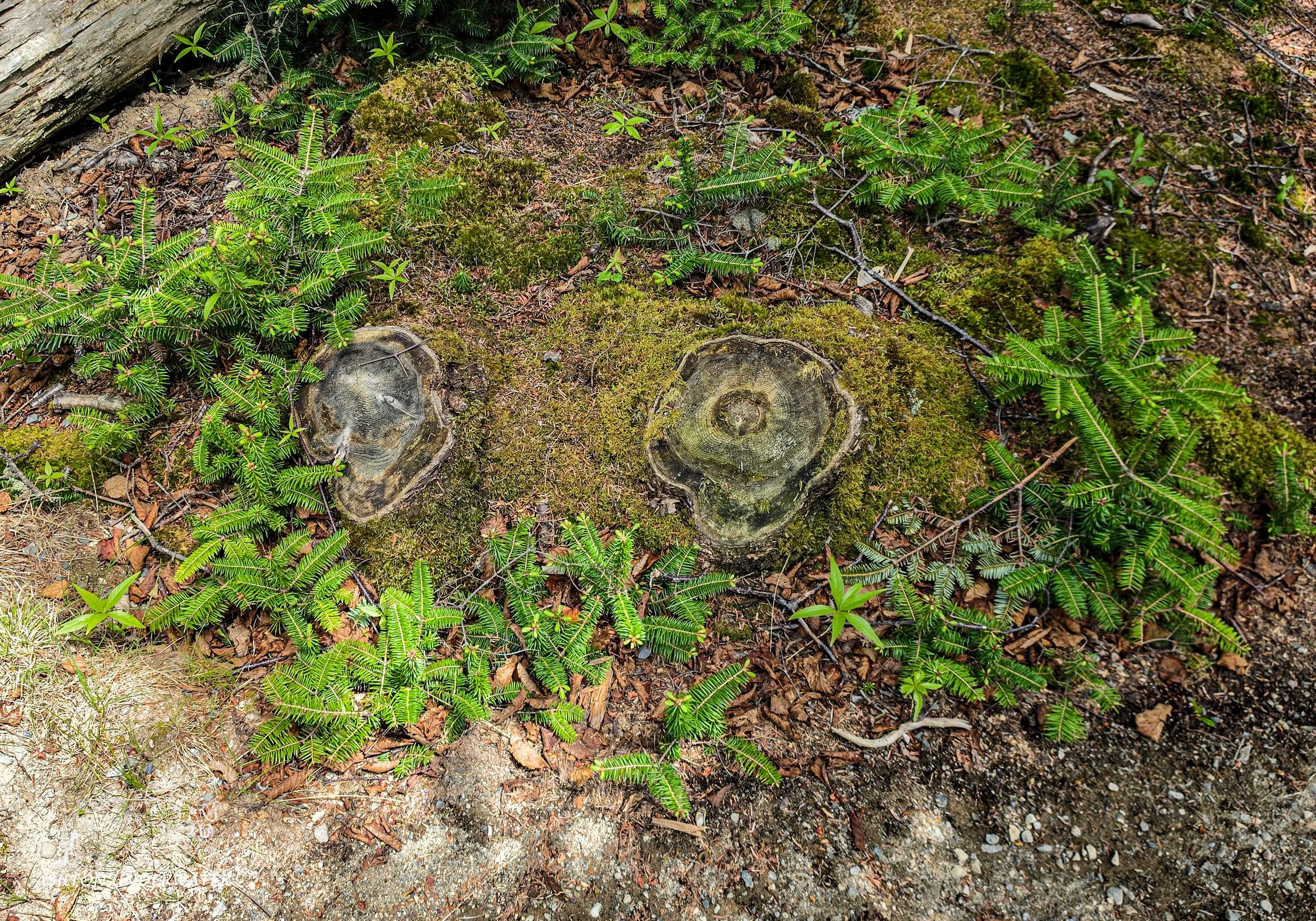
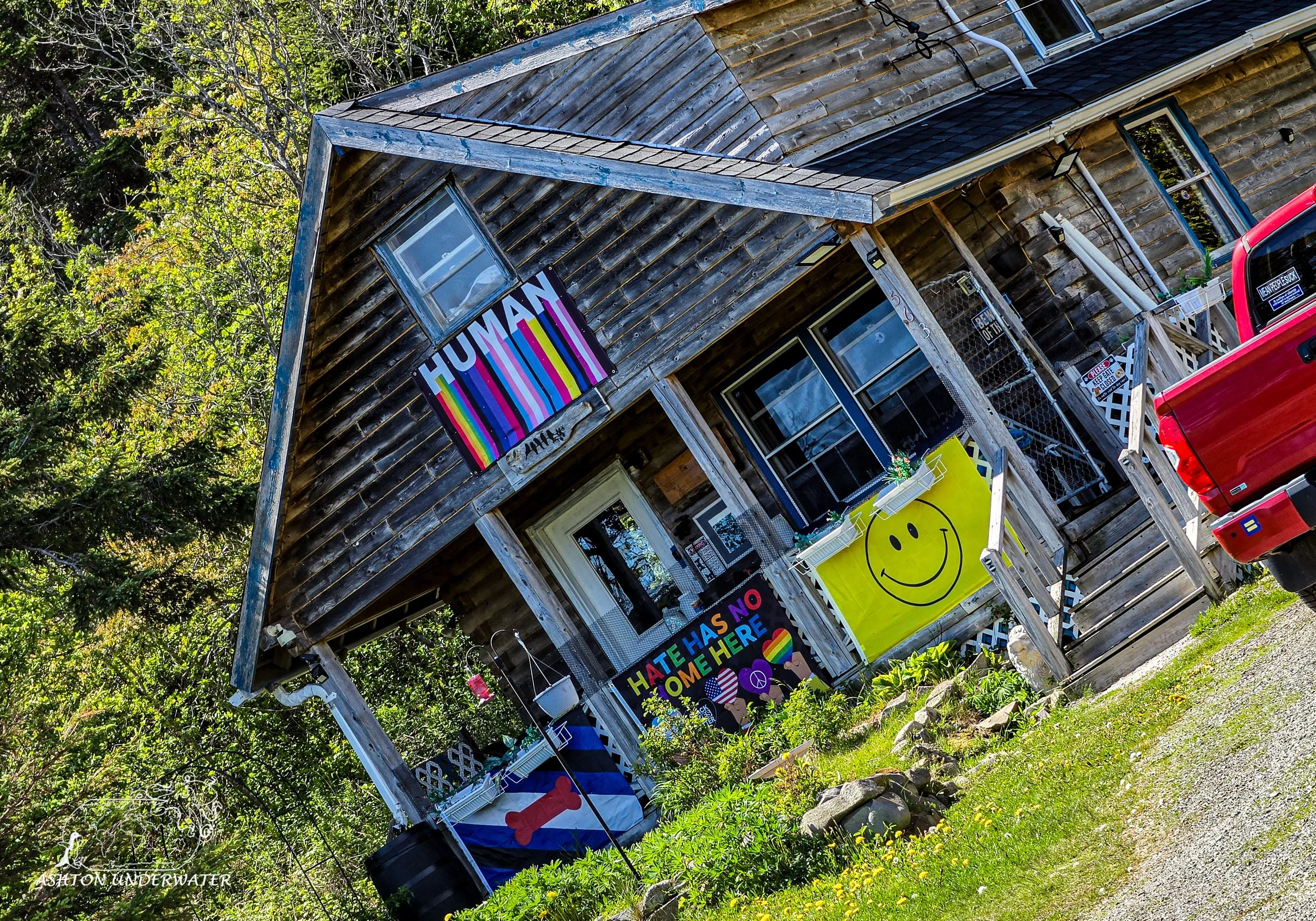
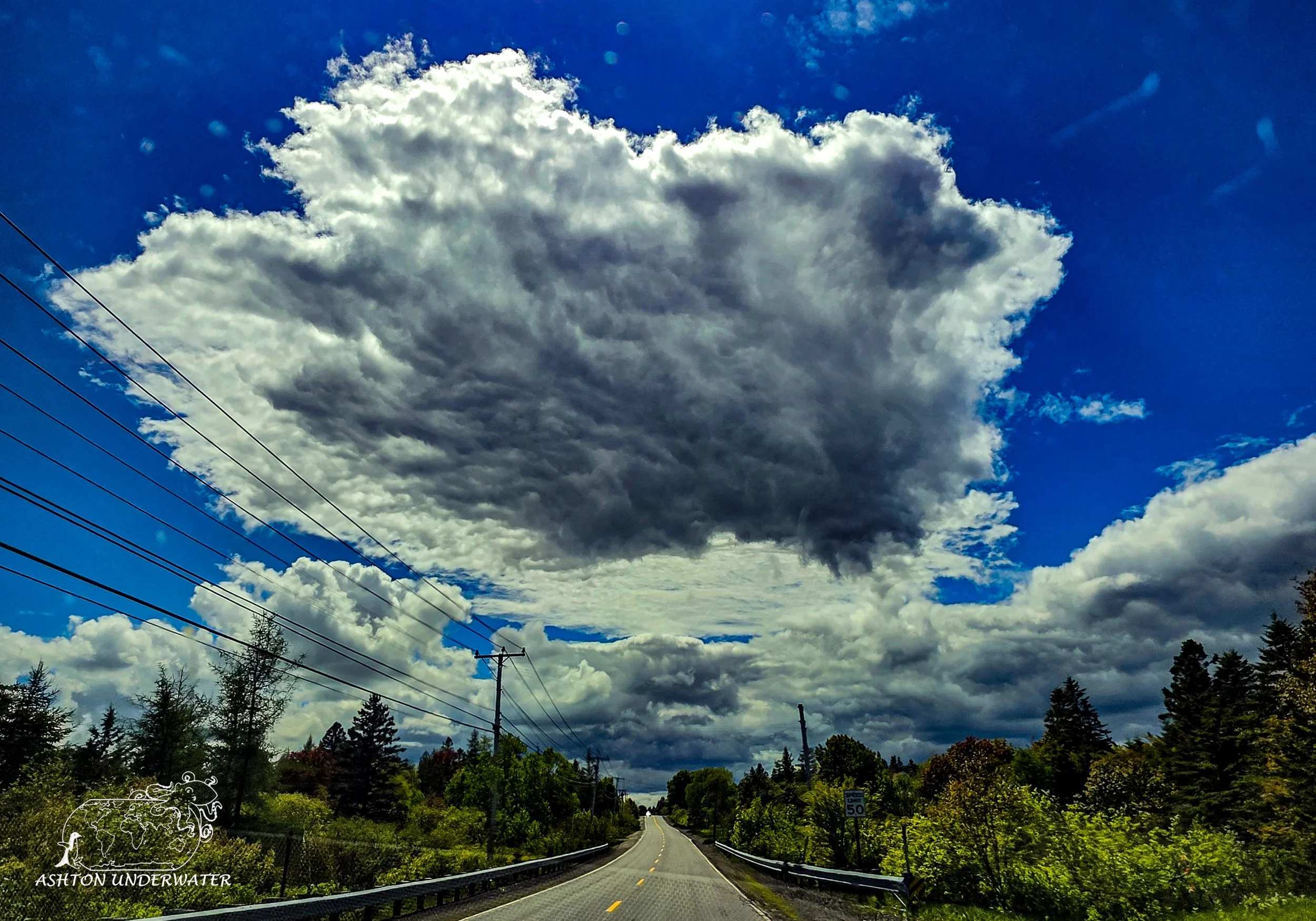
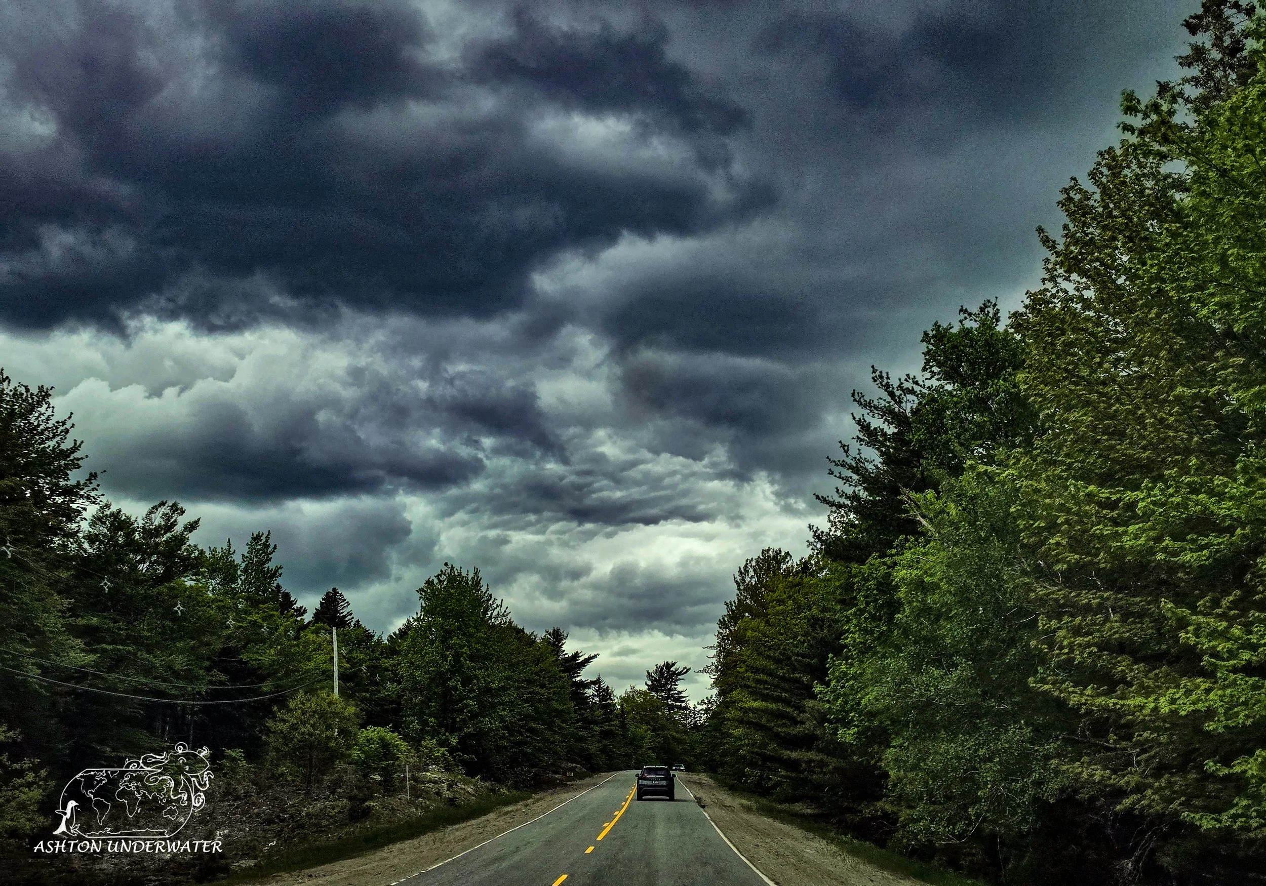
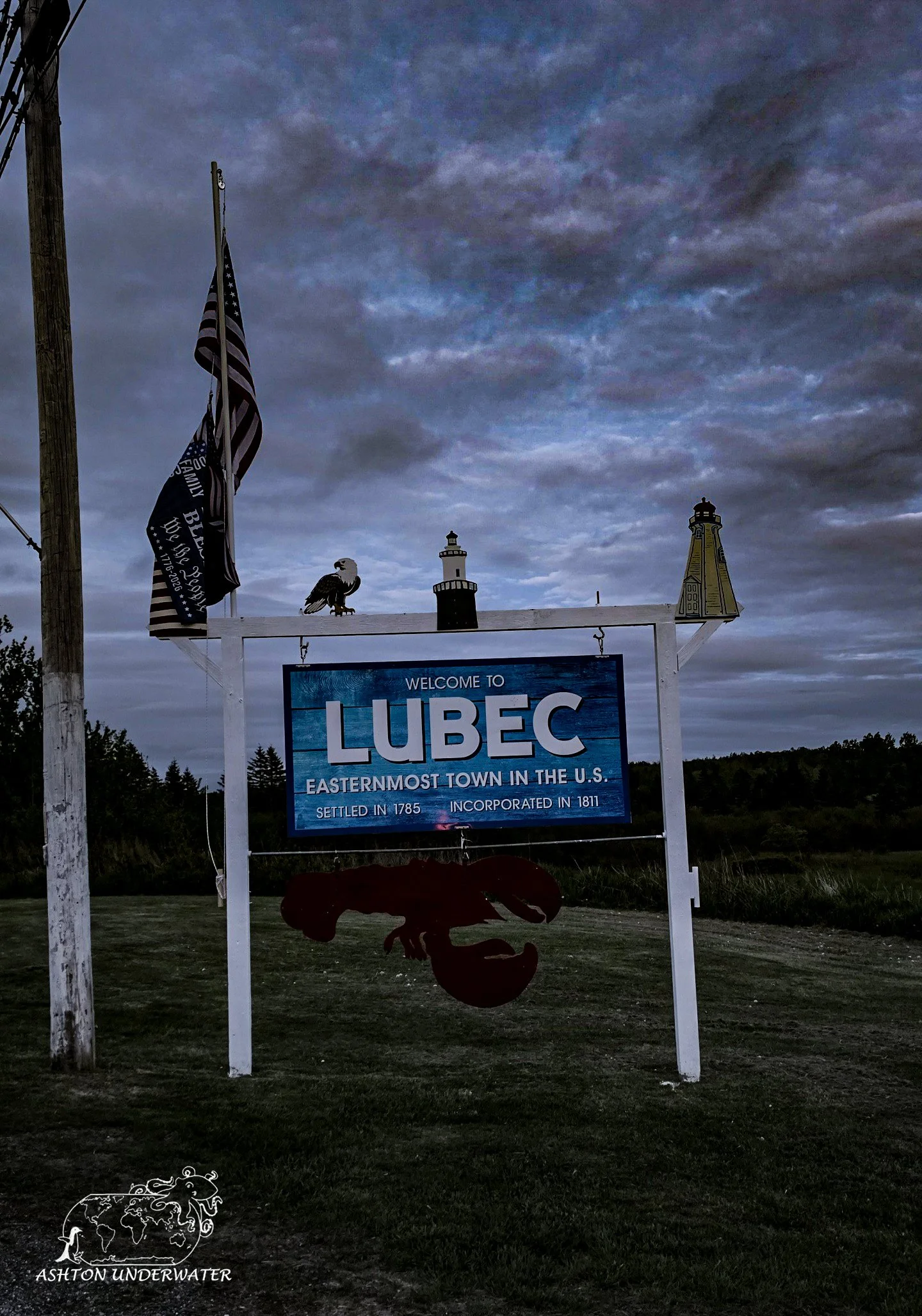
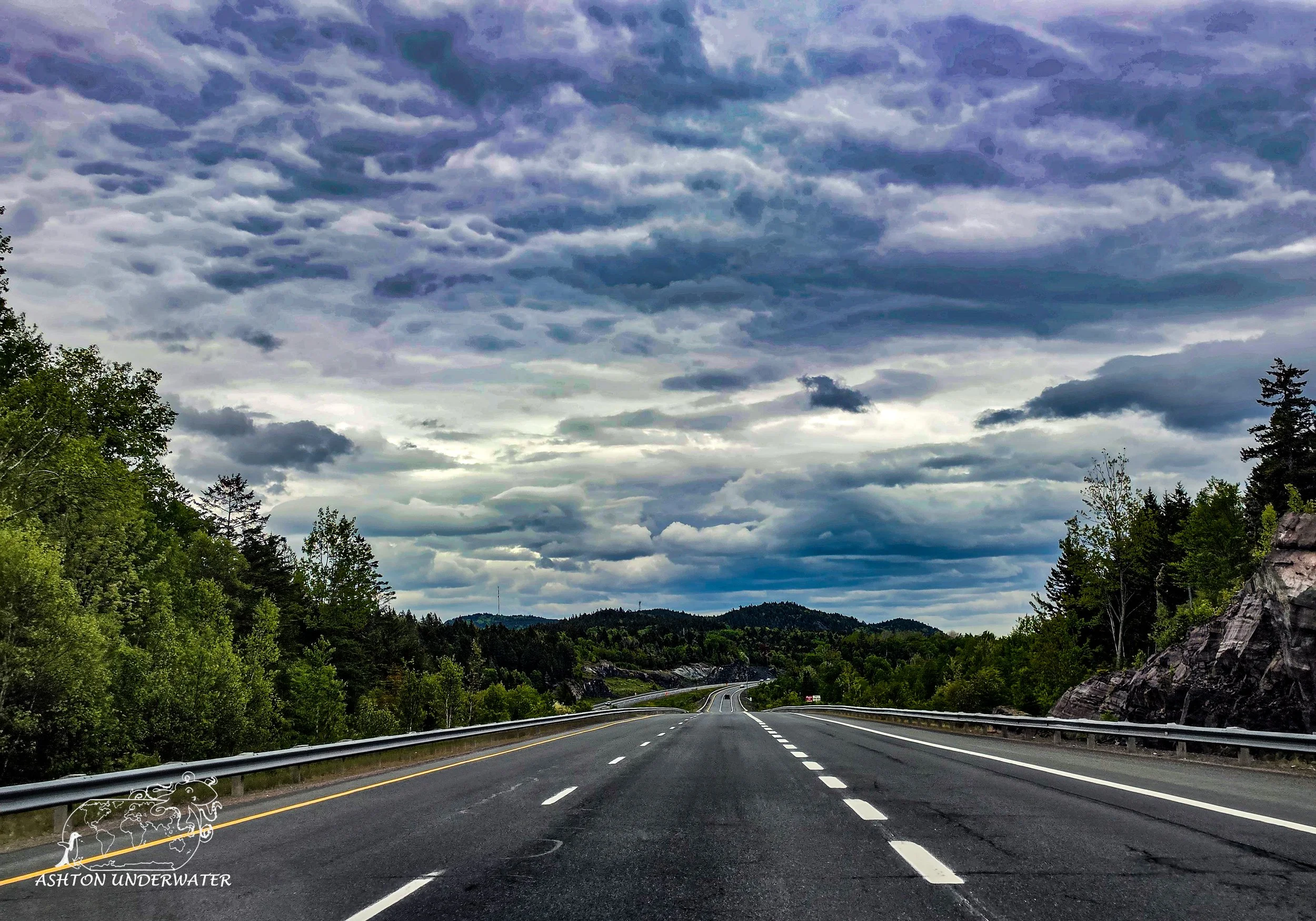
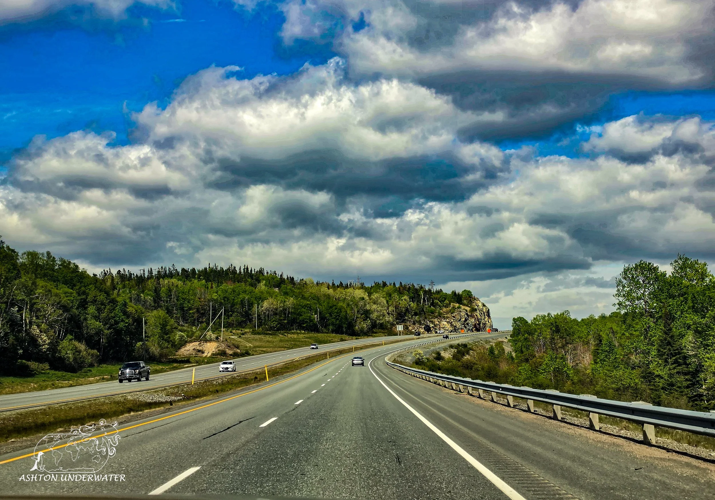
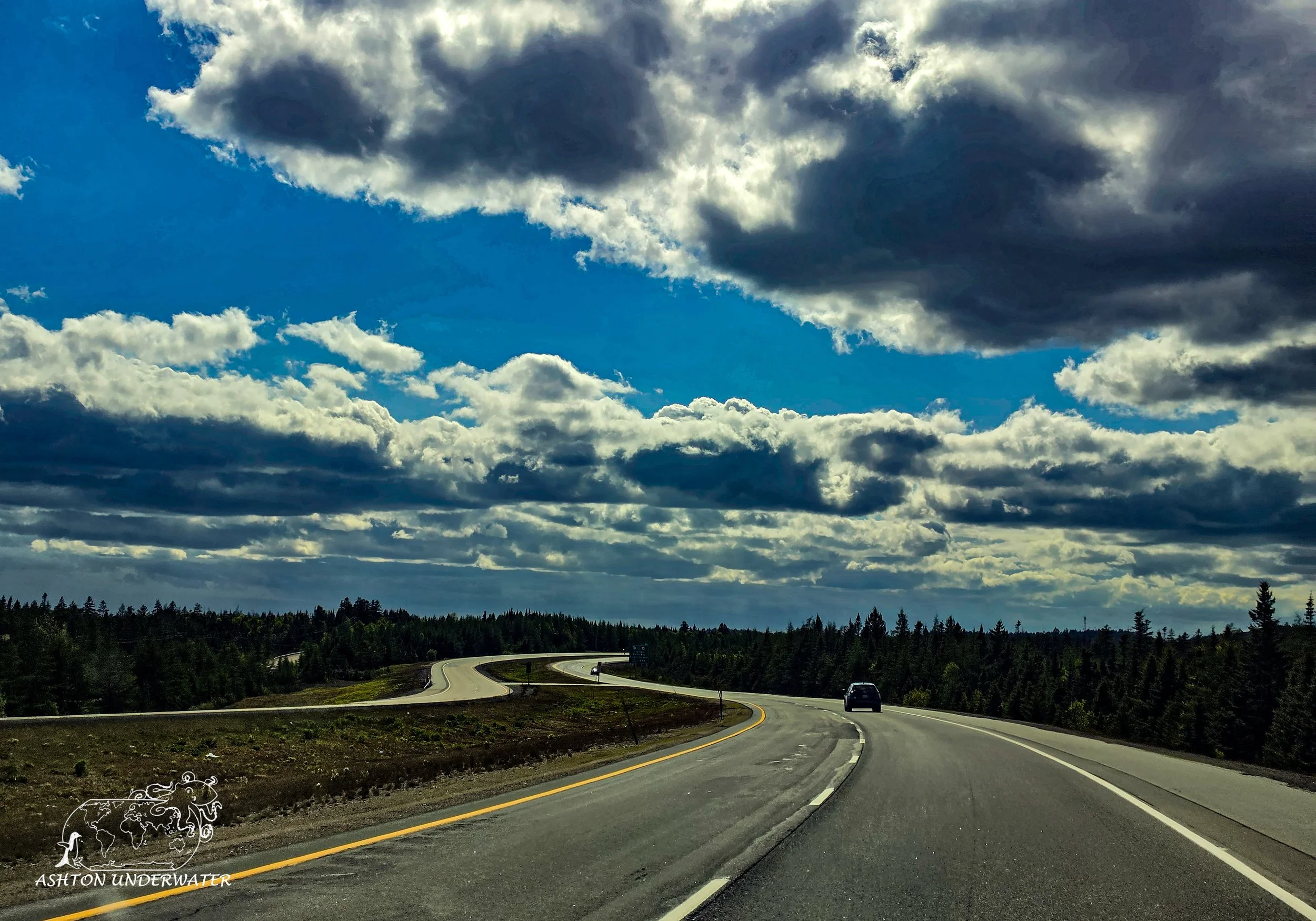
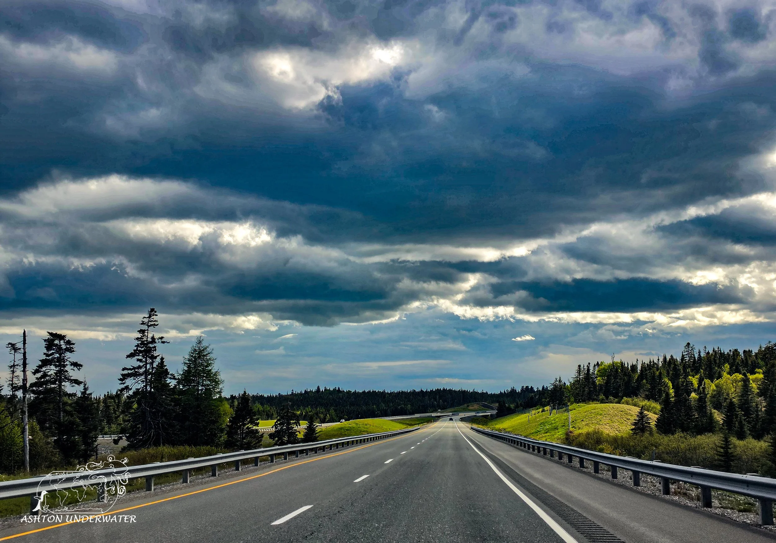
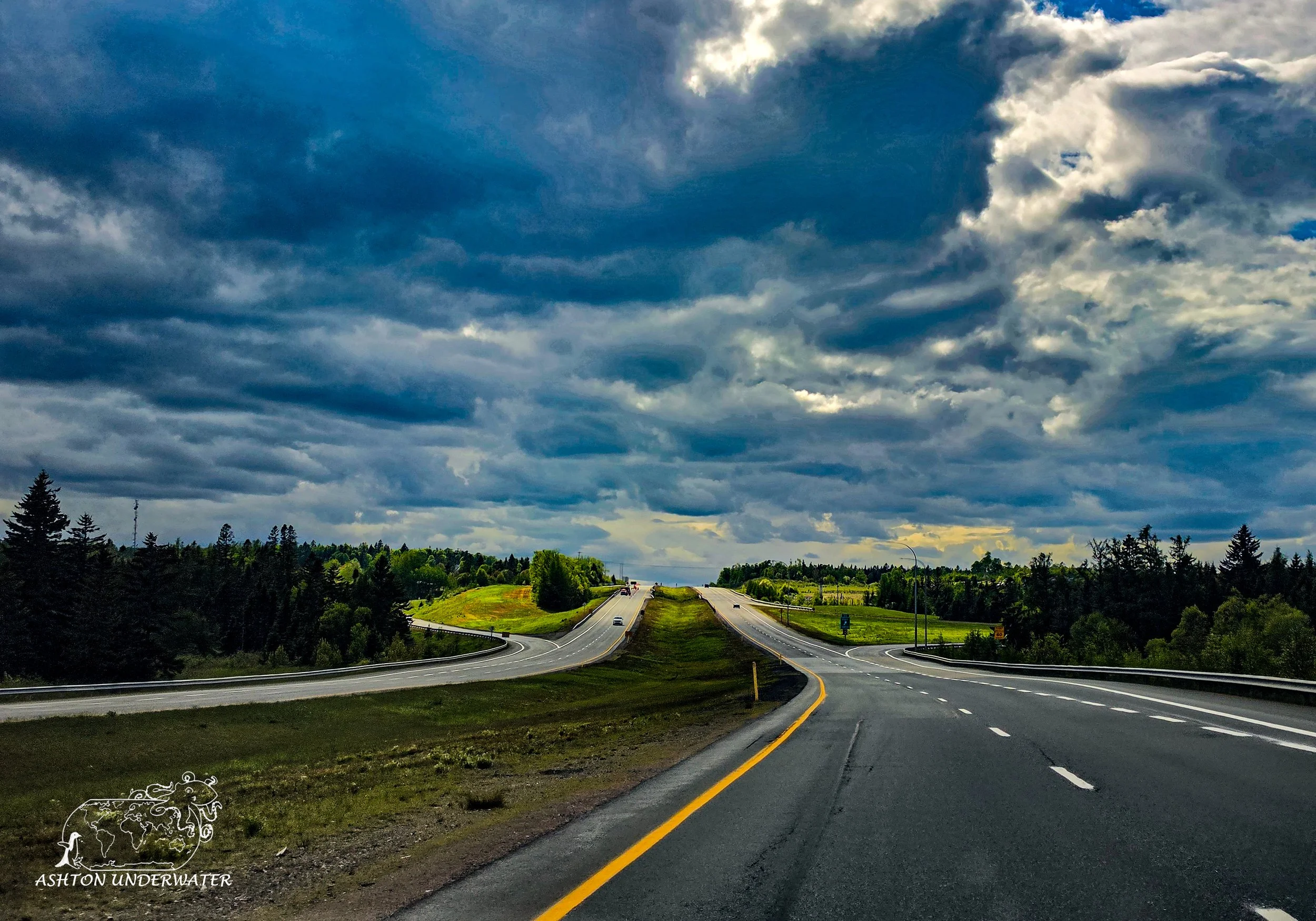
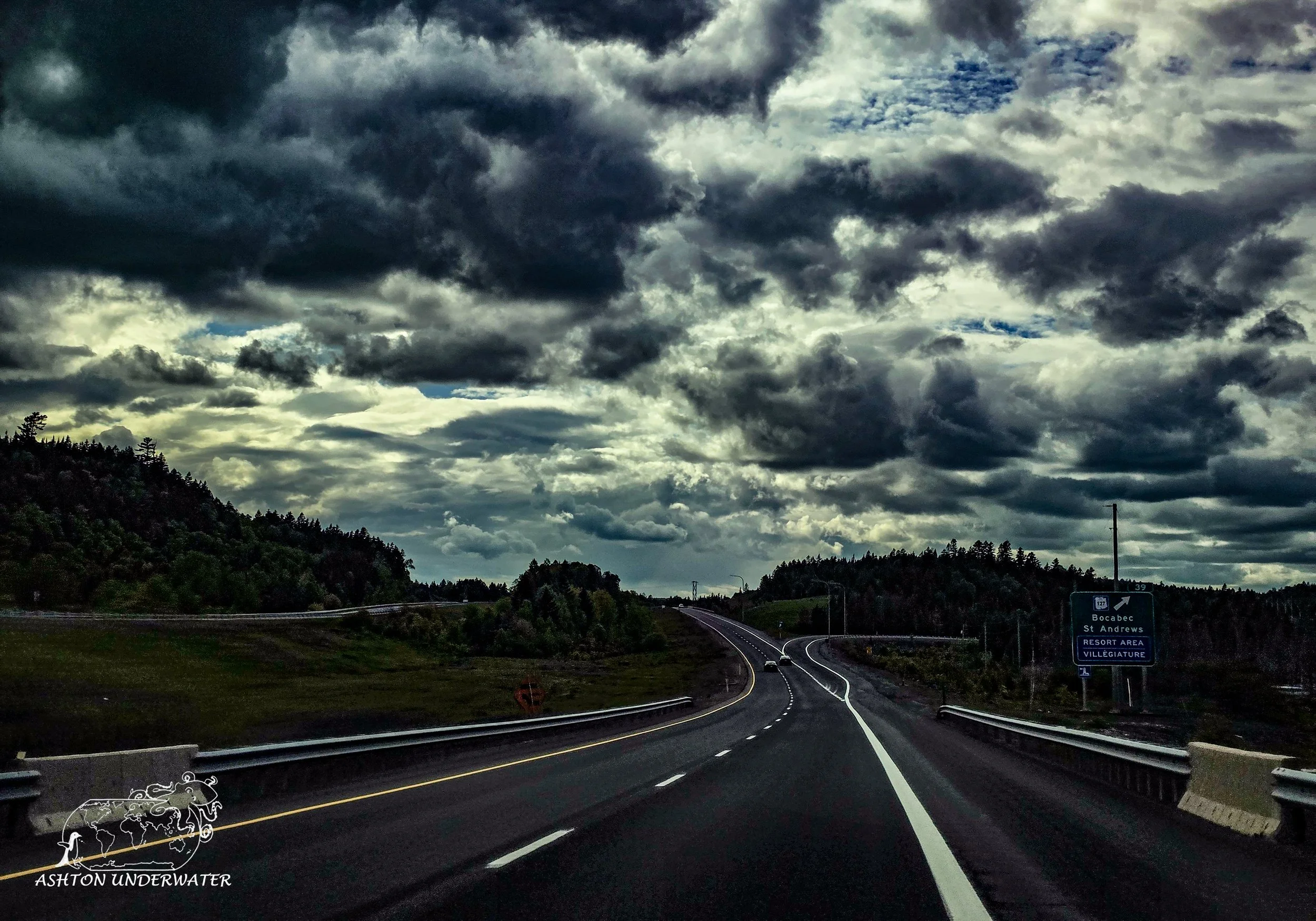
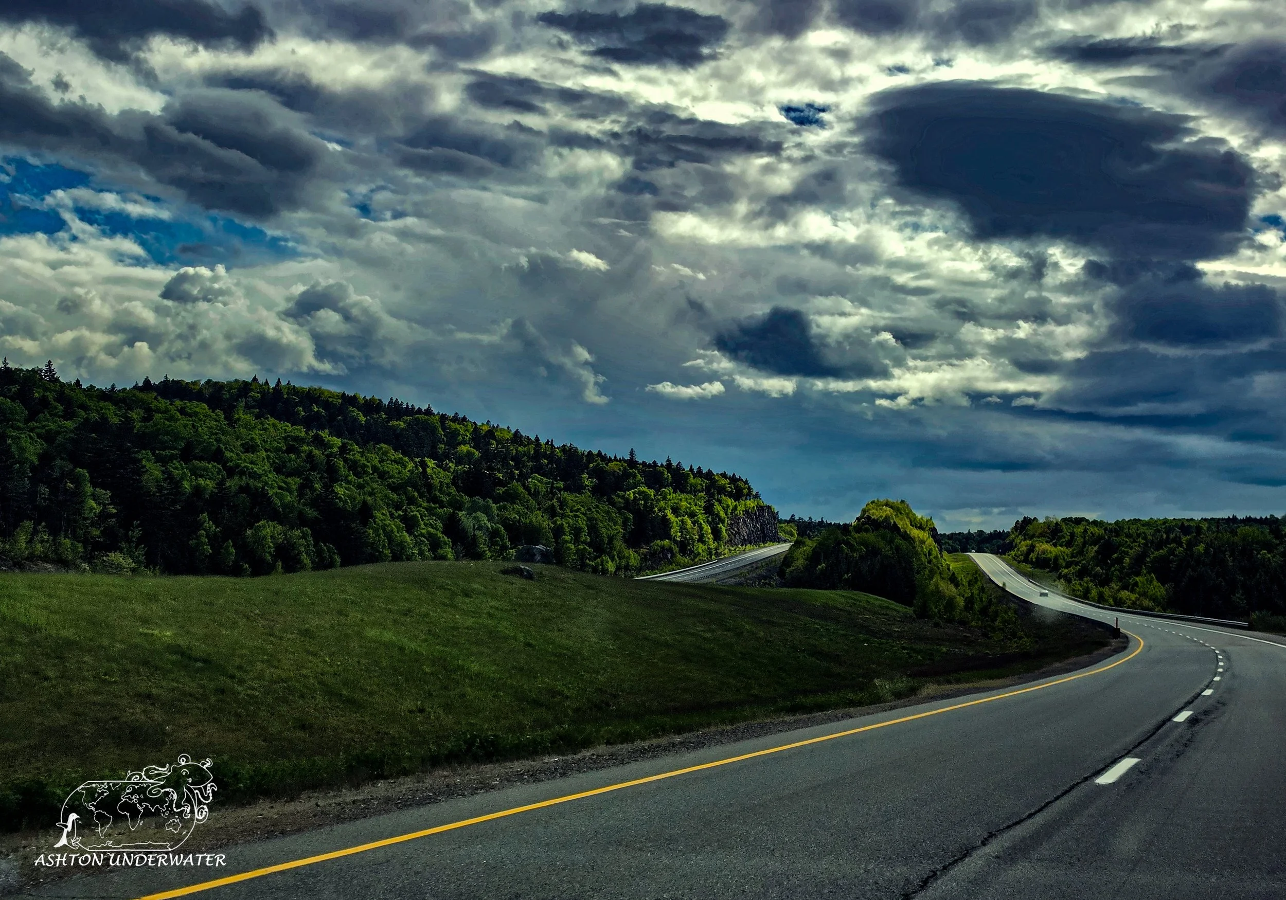
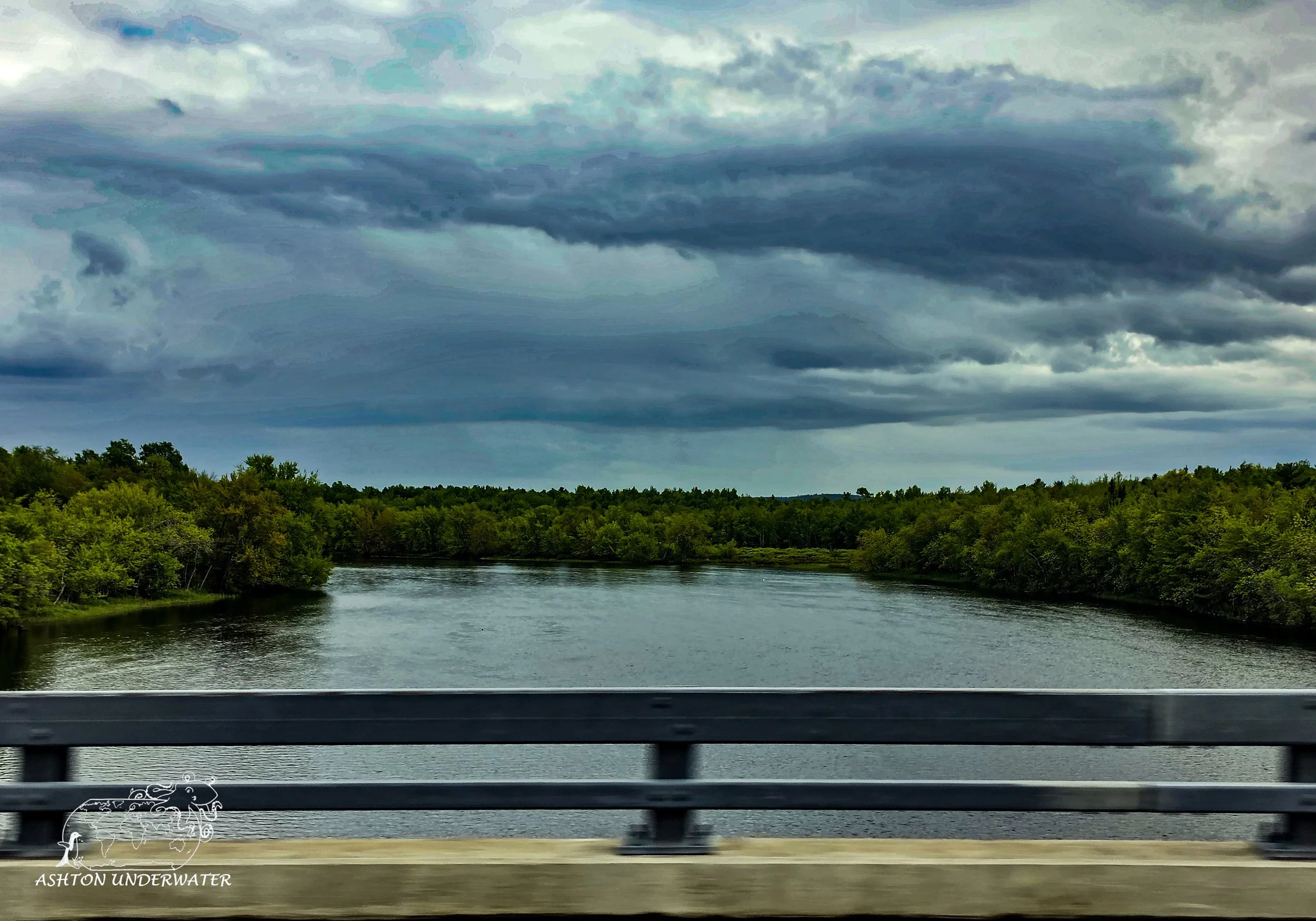
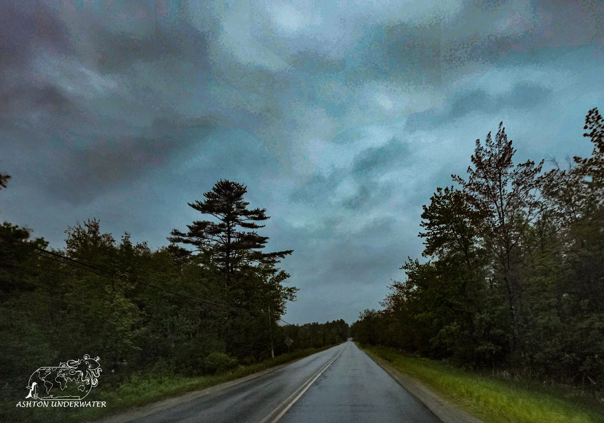
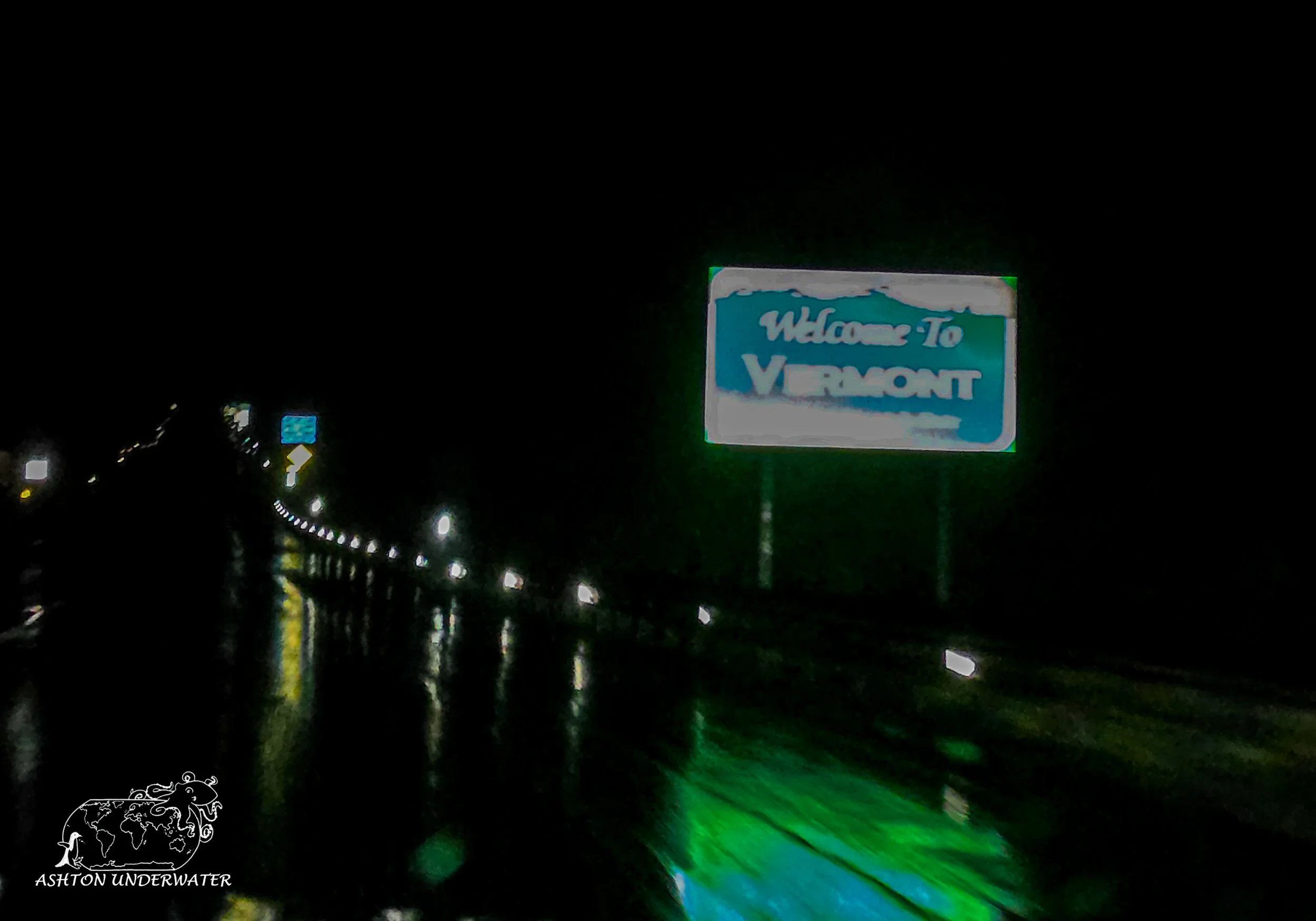
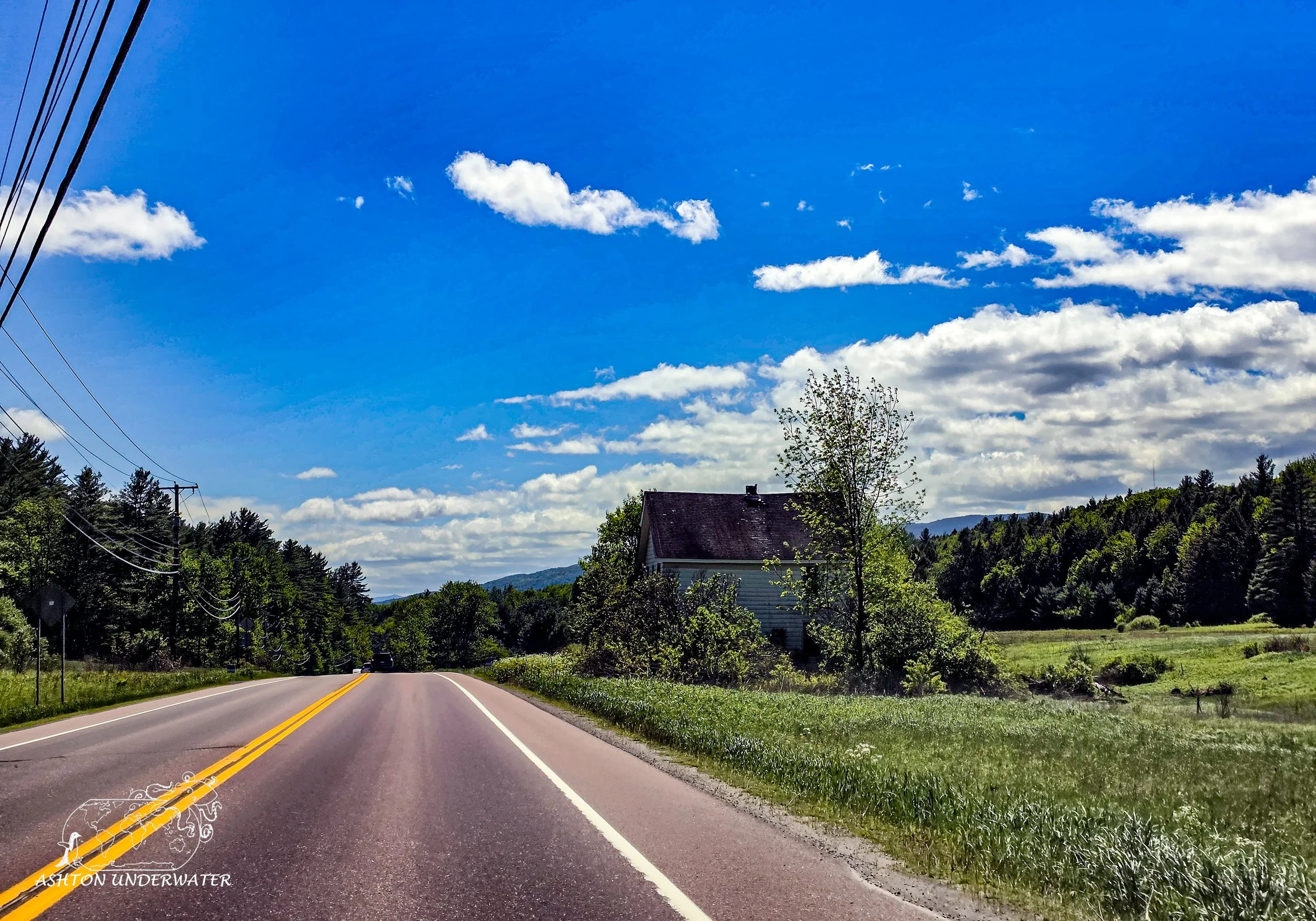
We survived hiking with no bloodshed, or murder, and got back into the car and continued our way to Starbucks with a slightly confused border agent waving us through. You want to know a fun fact about New Brunswick? Since apparently everyone hates them, they don’t get their own province themed Starbucks mug. Who would have thought! But after several attempts to find something that would work by the nice Starbucks employees, we turned around and started our drive to Vermont, for a couple of days to sit and relax without having to drive every day. We made it to Vermont, through the dark and curving roads, in the rain, with minimal cell service, flying down at a “healthy” speed because, “I don’t drive like a grandma.” It’s fine, we didn’t die…
Vermont
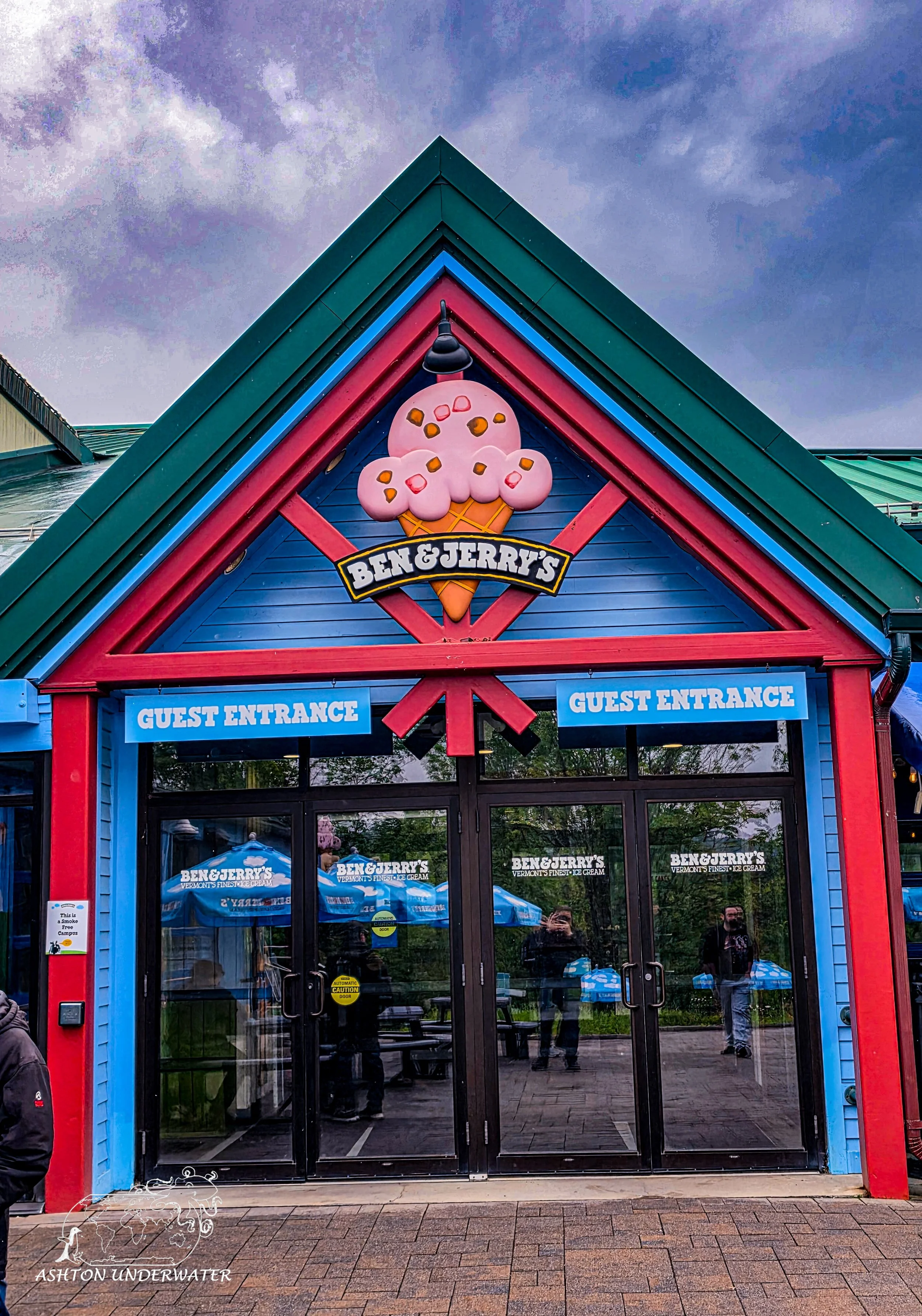
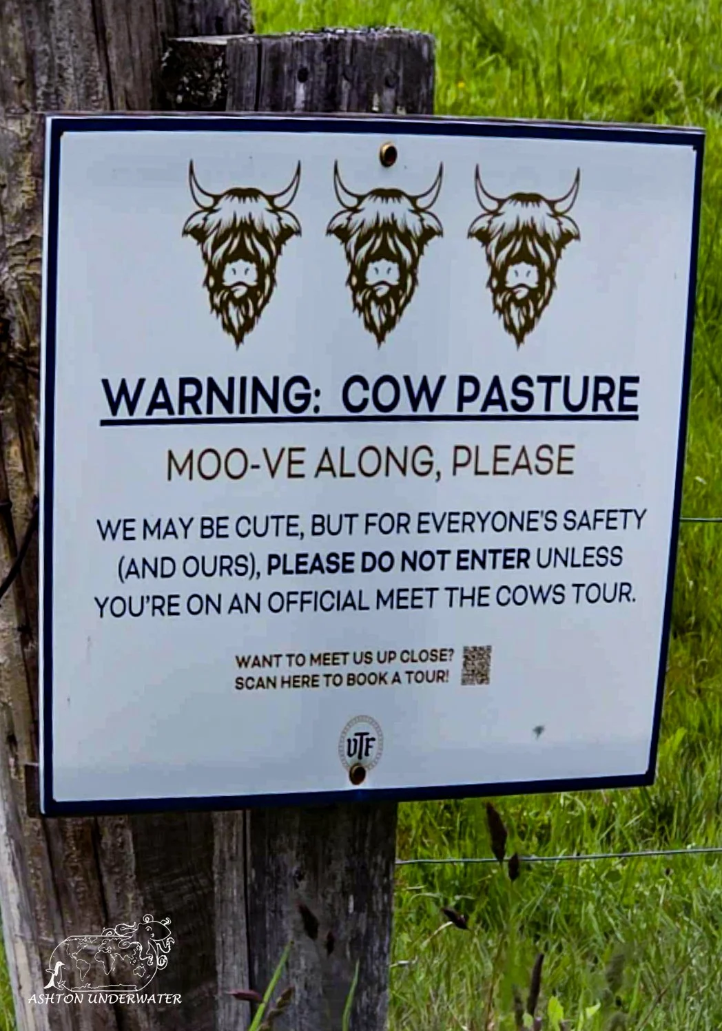
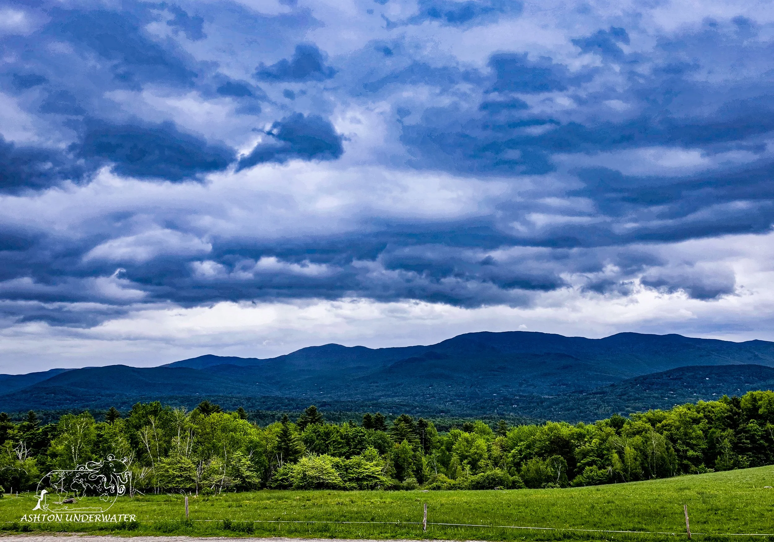
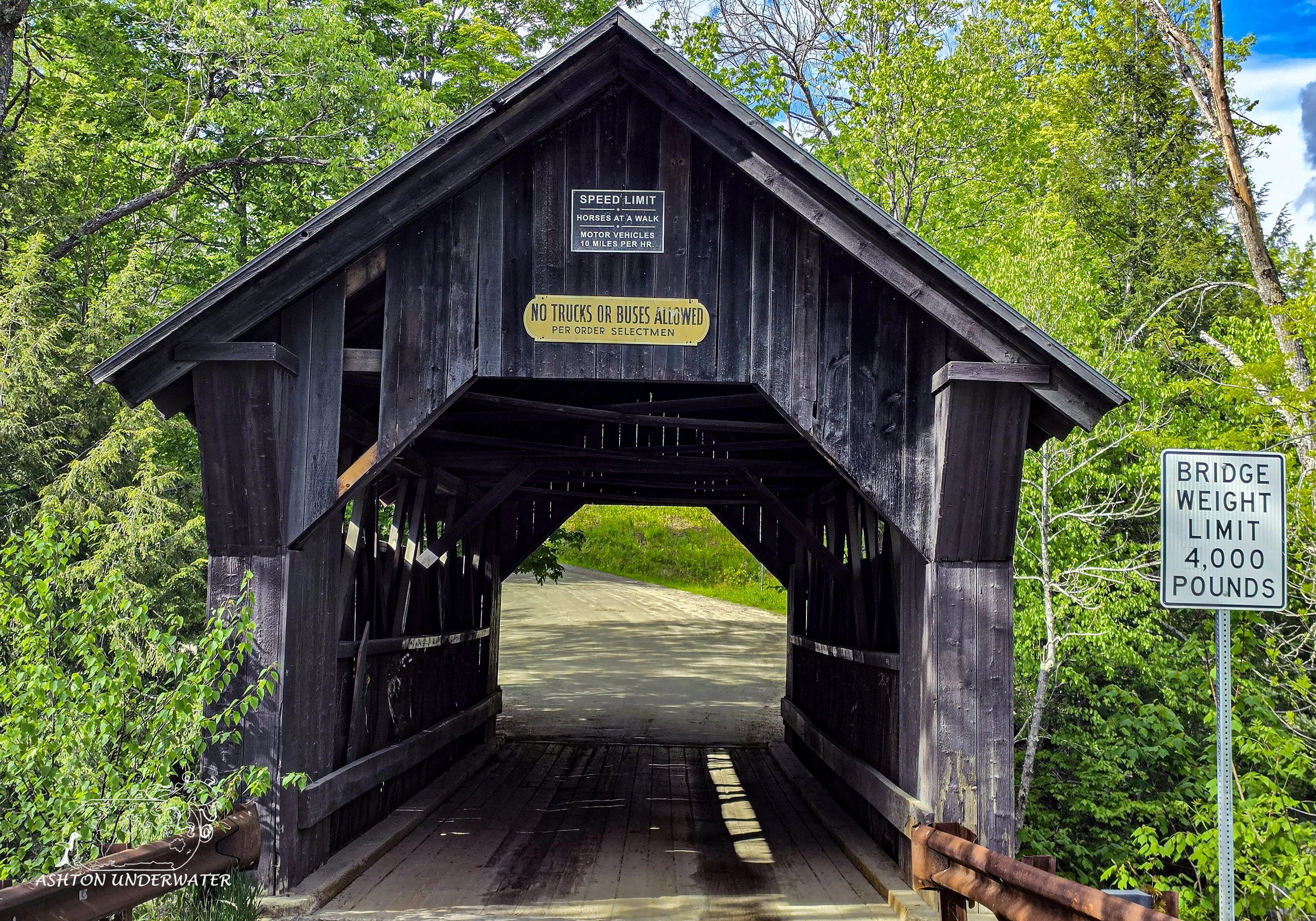
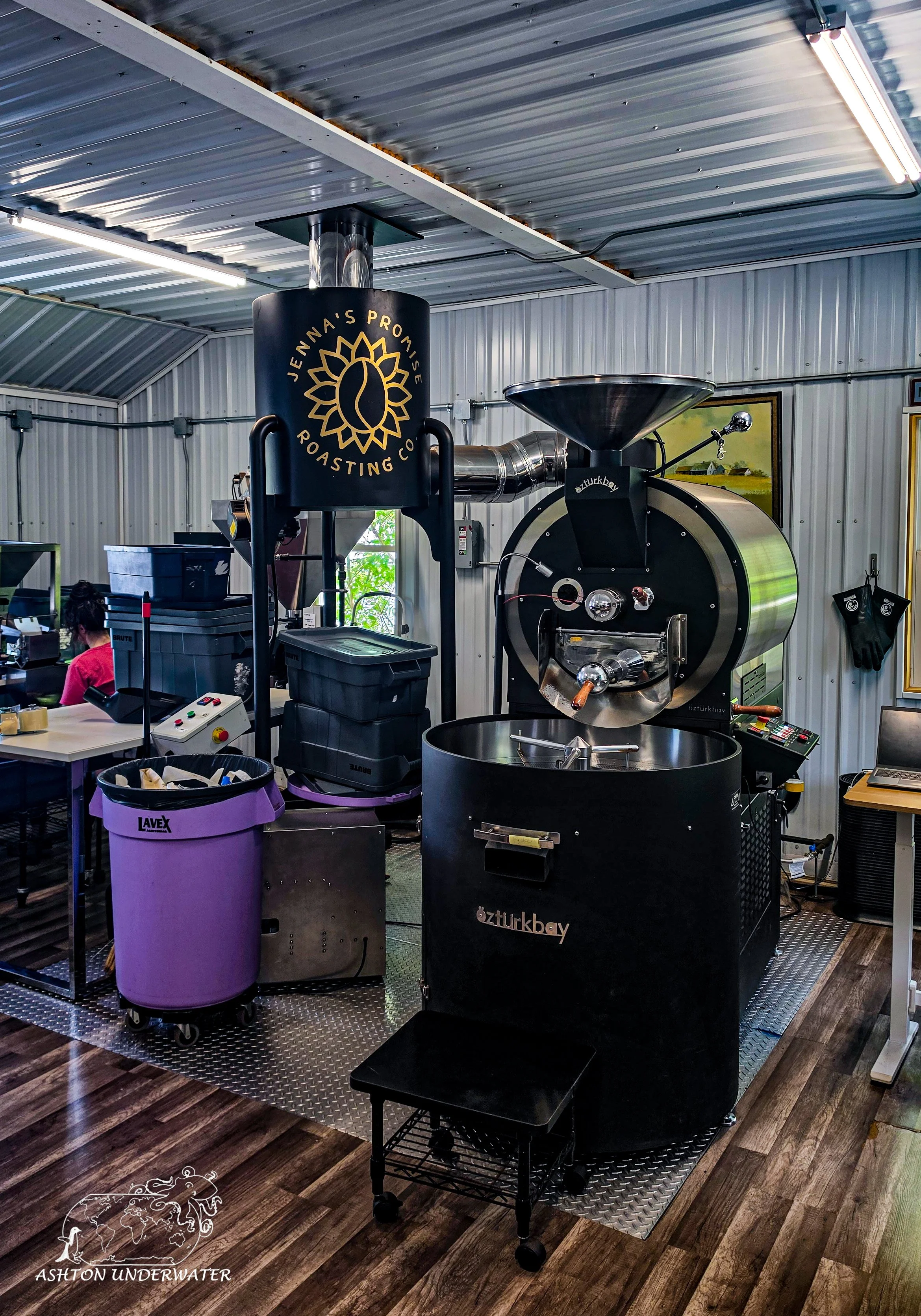
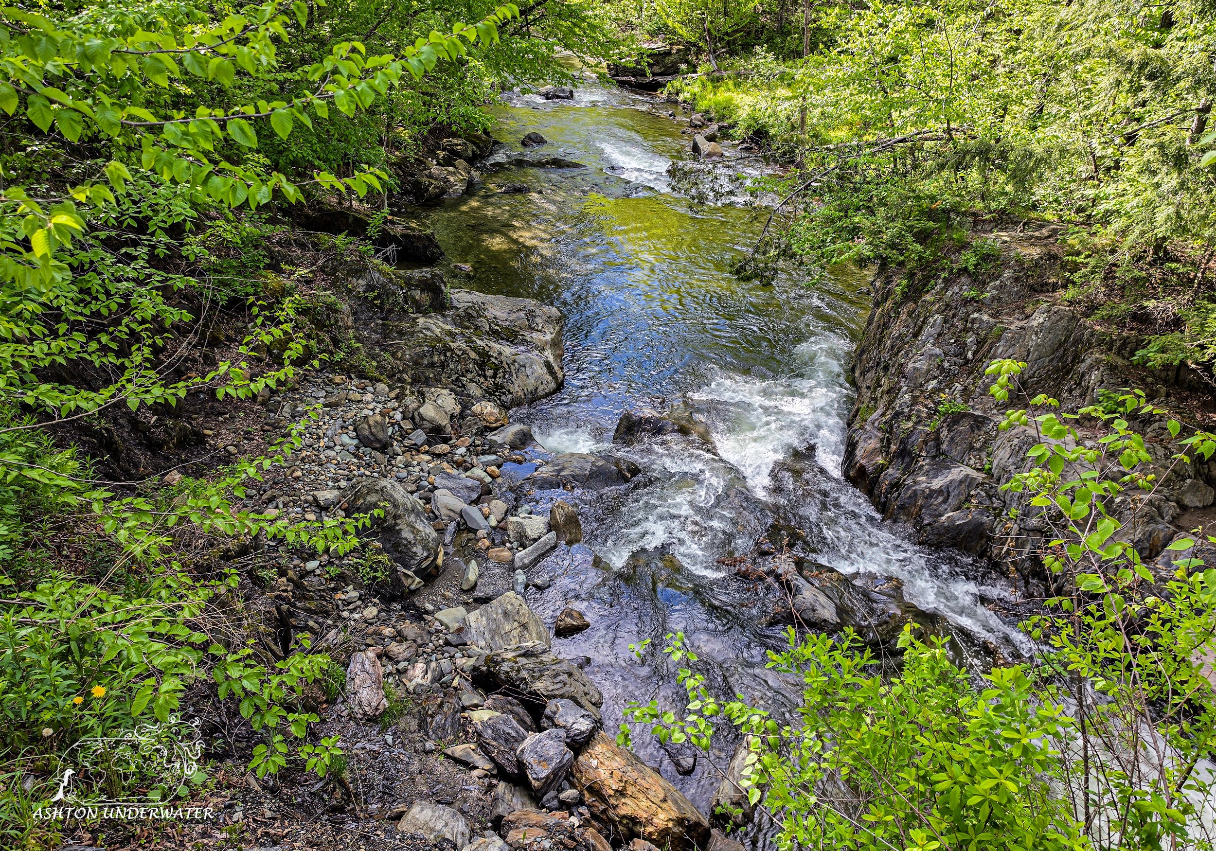
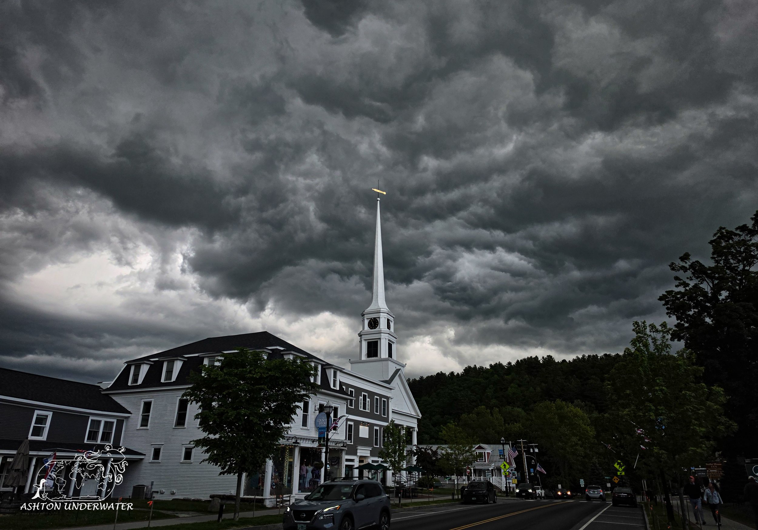
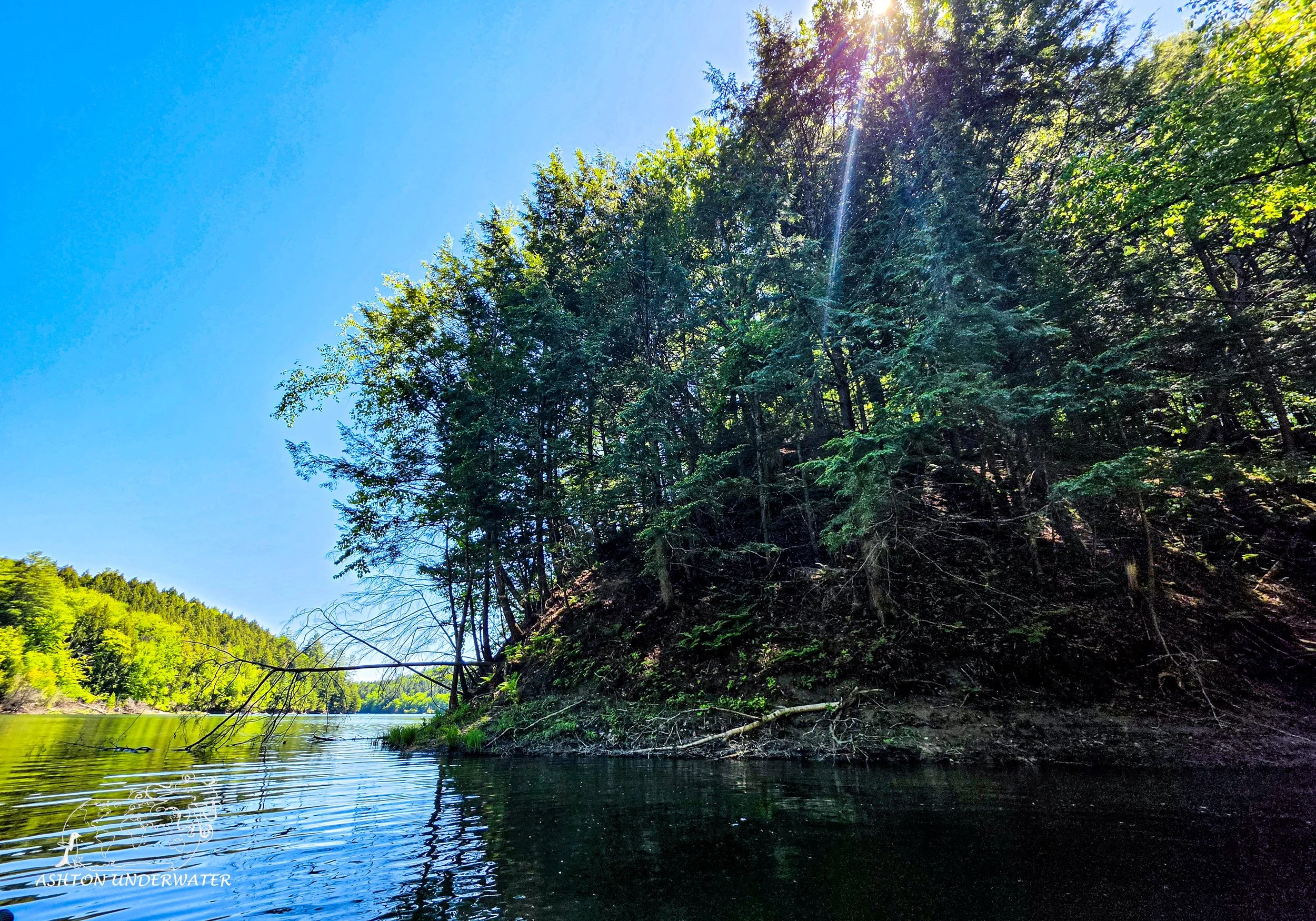
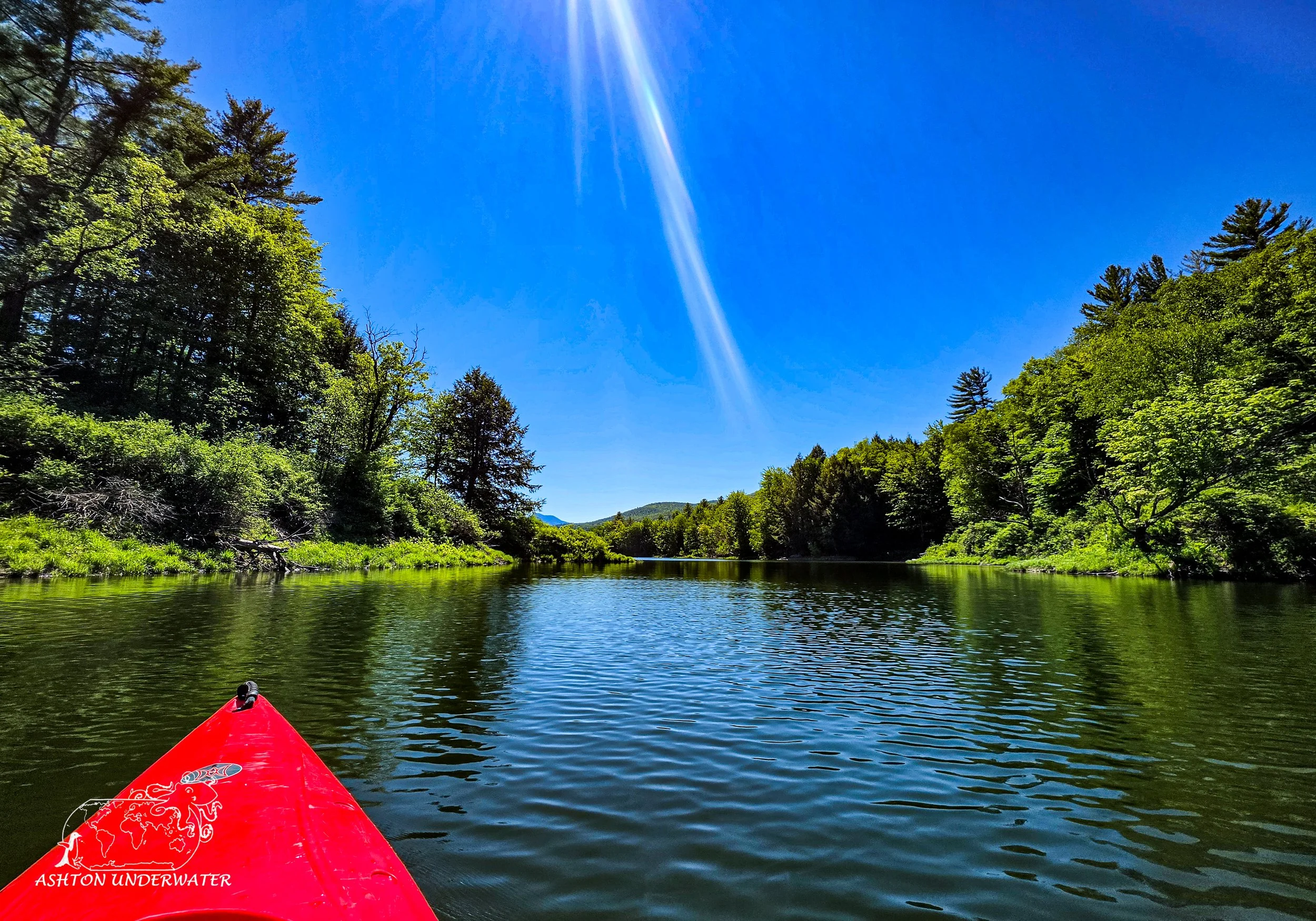
Our time in Vermont was nice and relaxing. We visited Ben and Jerry’s and did a factory tour and the Flavor graveyard. Tried to find bears, went antiquing, got tennis balled at an old, covered bridge and processed all that by doing whiskey tastings and eating boozy pickles.
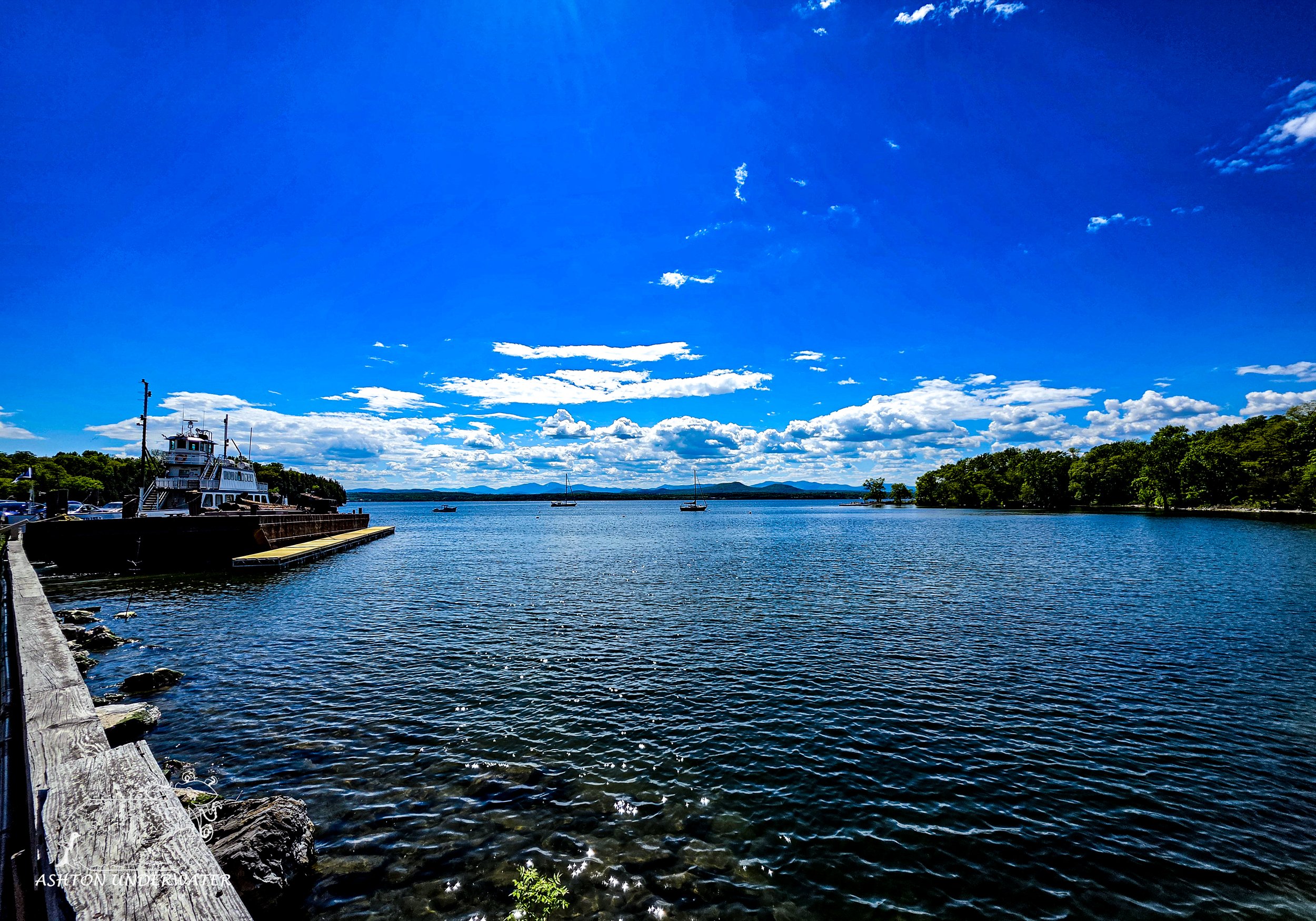
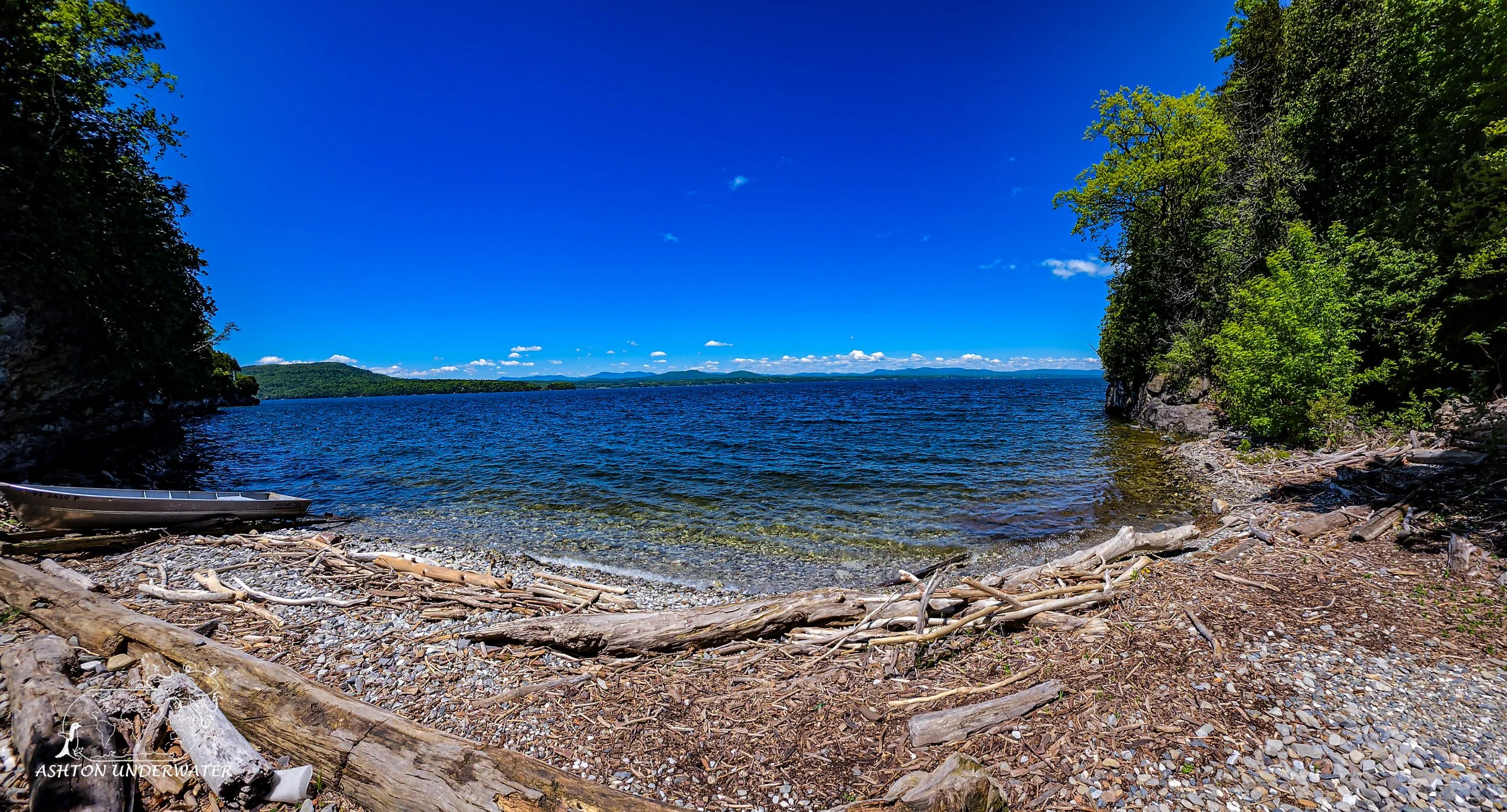
Thompson Point, Whiskey Bay
Charlotte, Vermont
44.2702, -73.3016
57’ for 41 minutes, 50°
June 1st
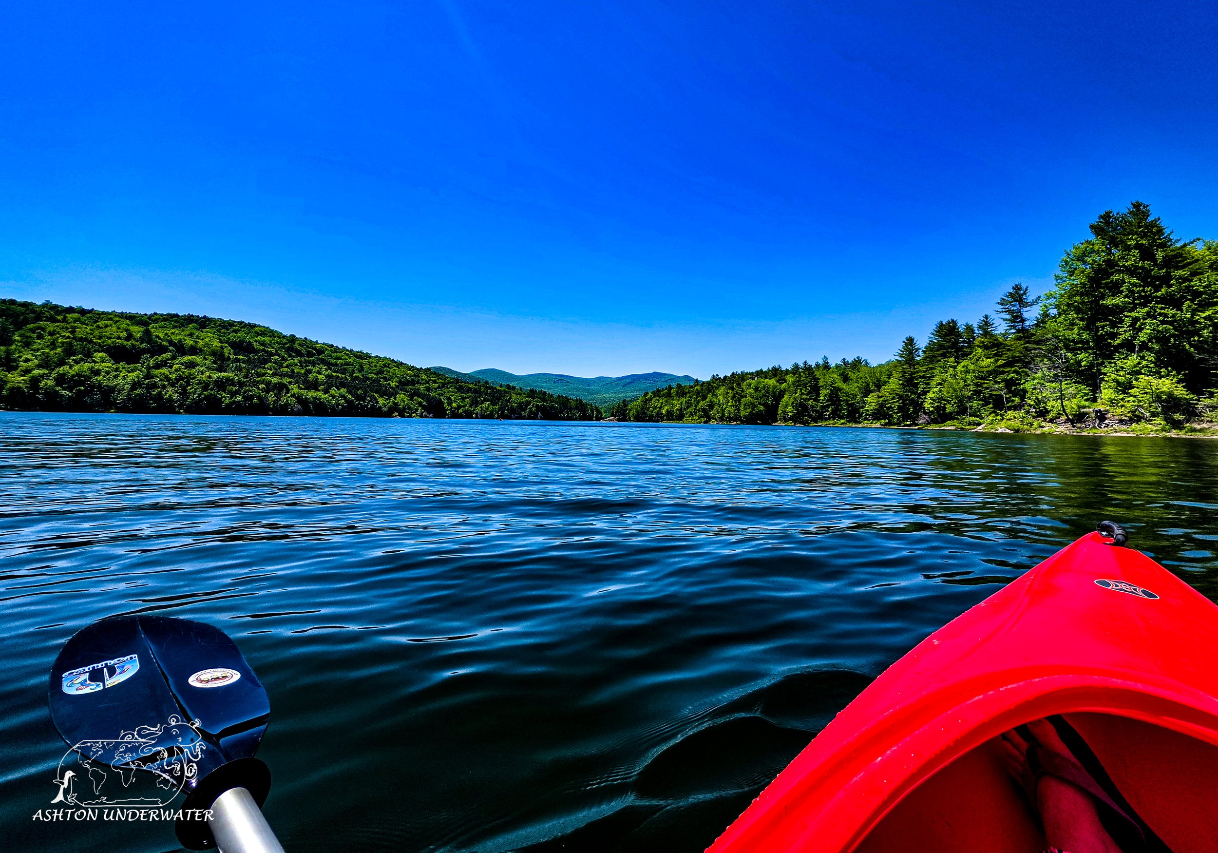
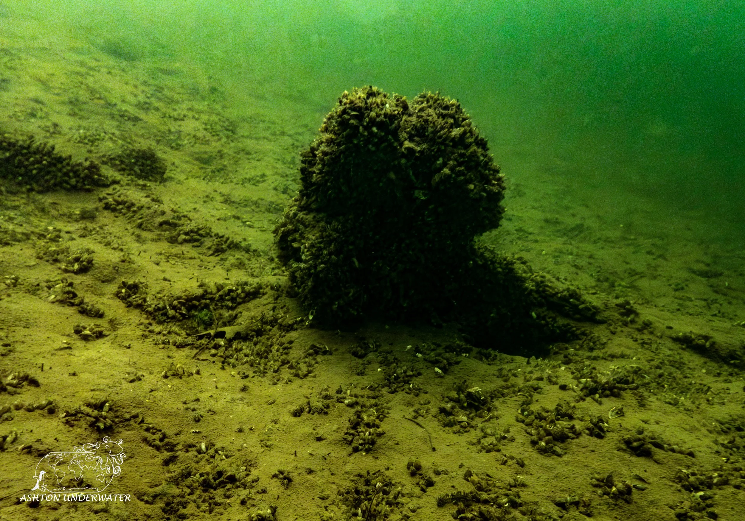
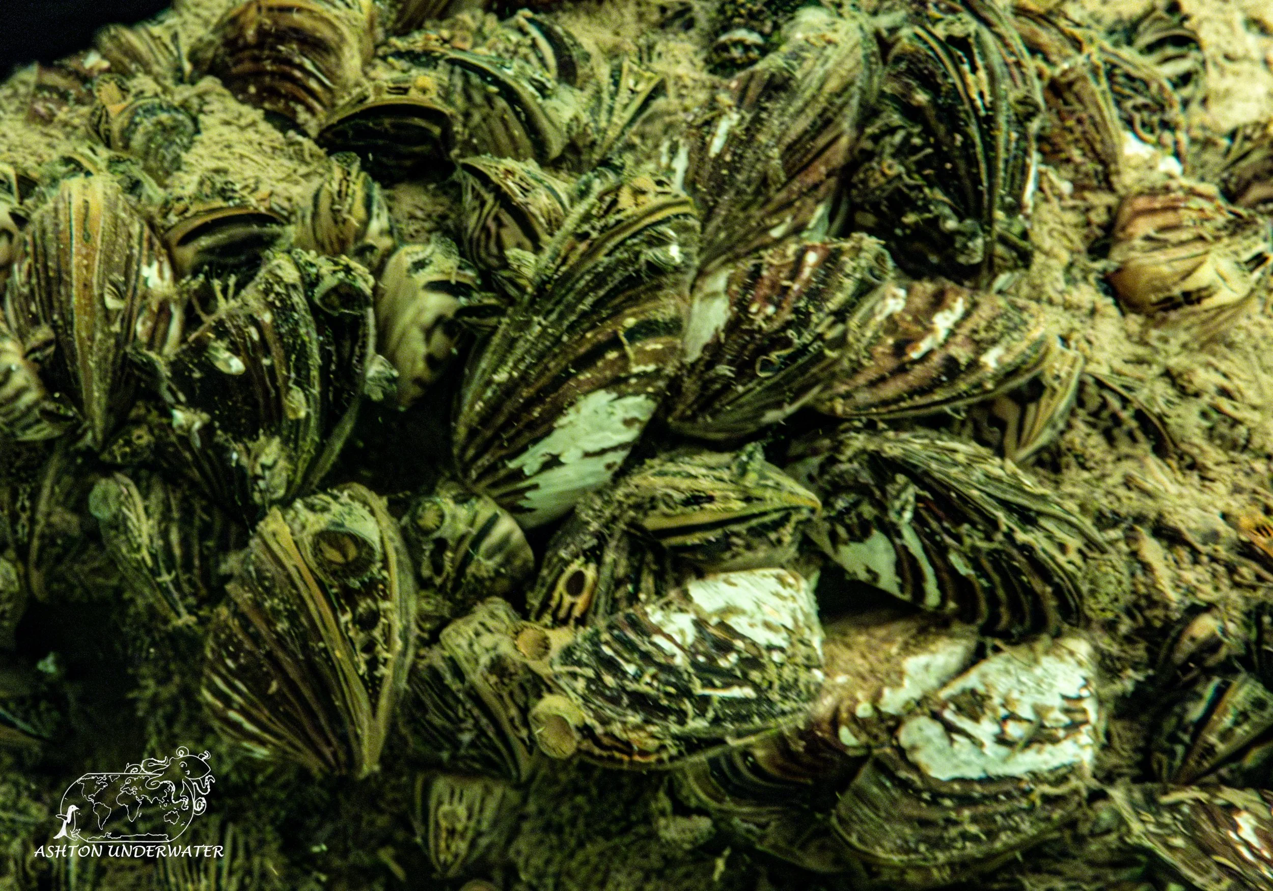
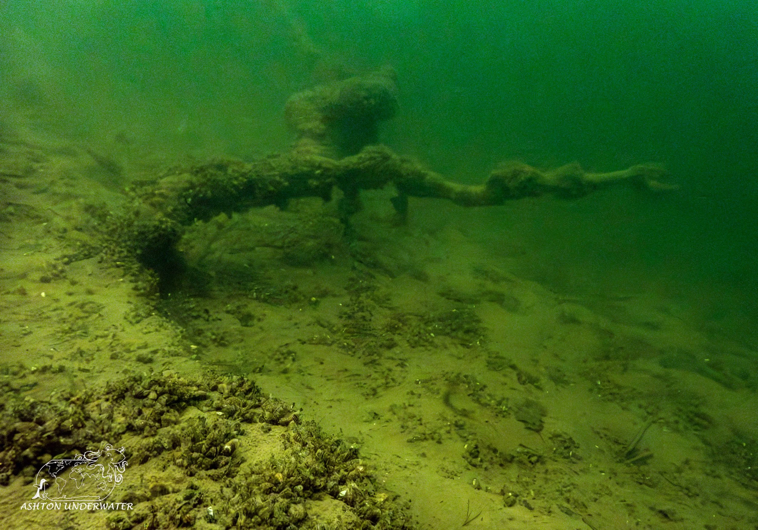
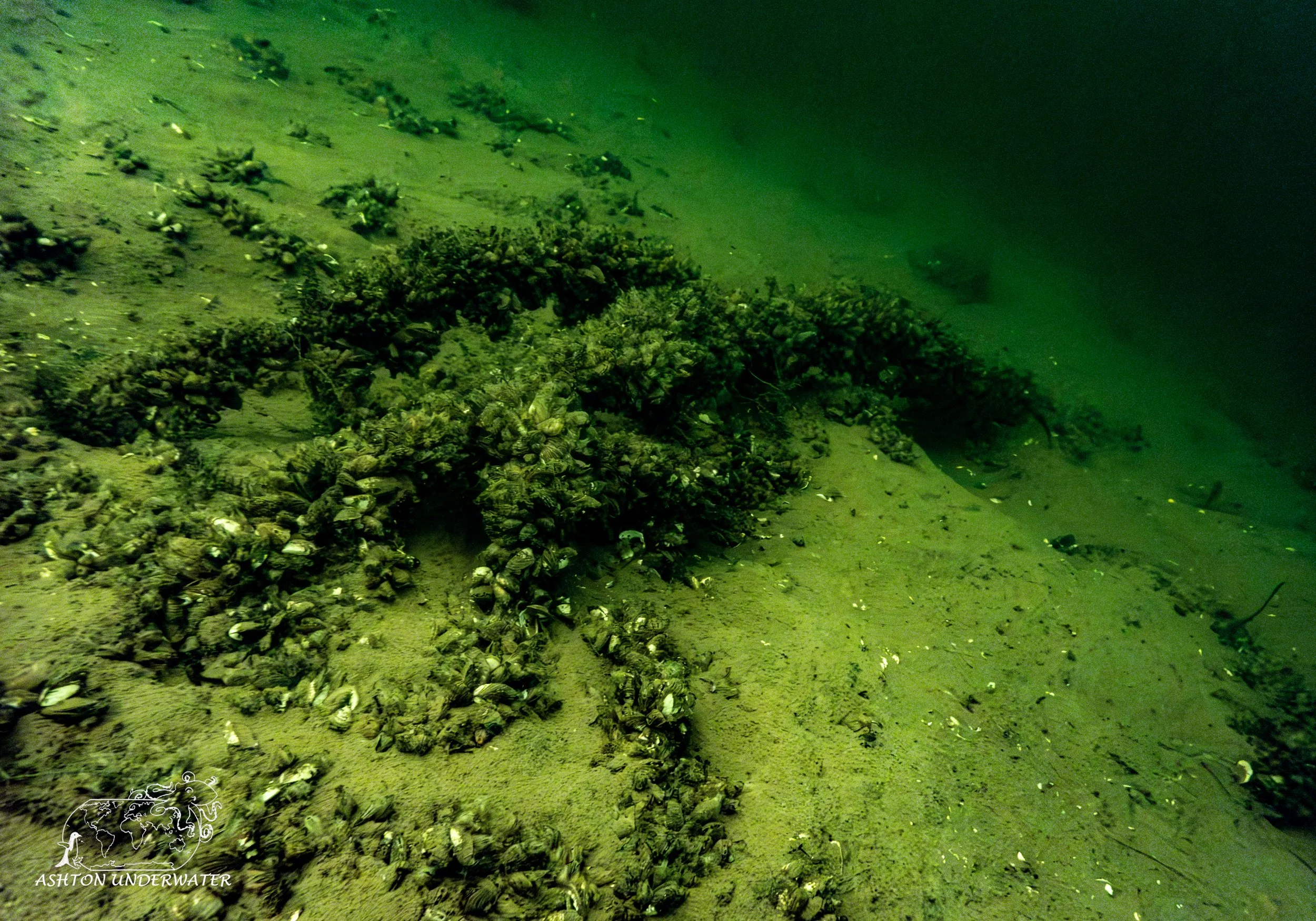
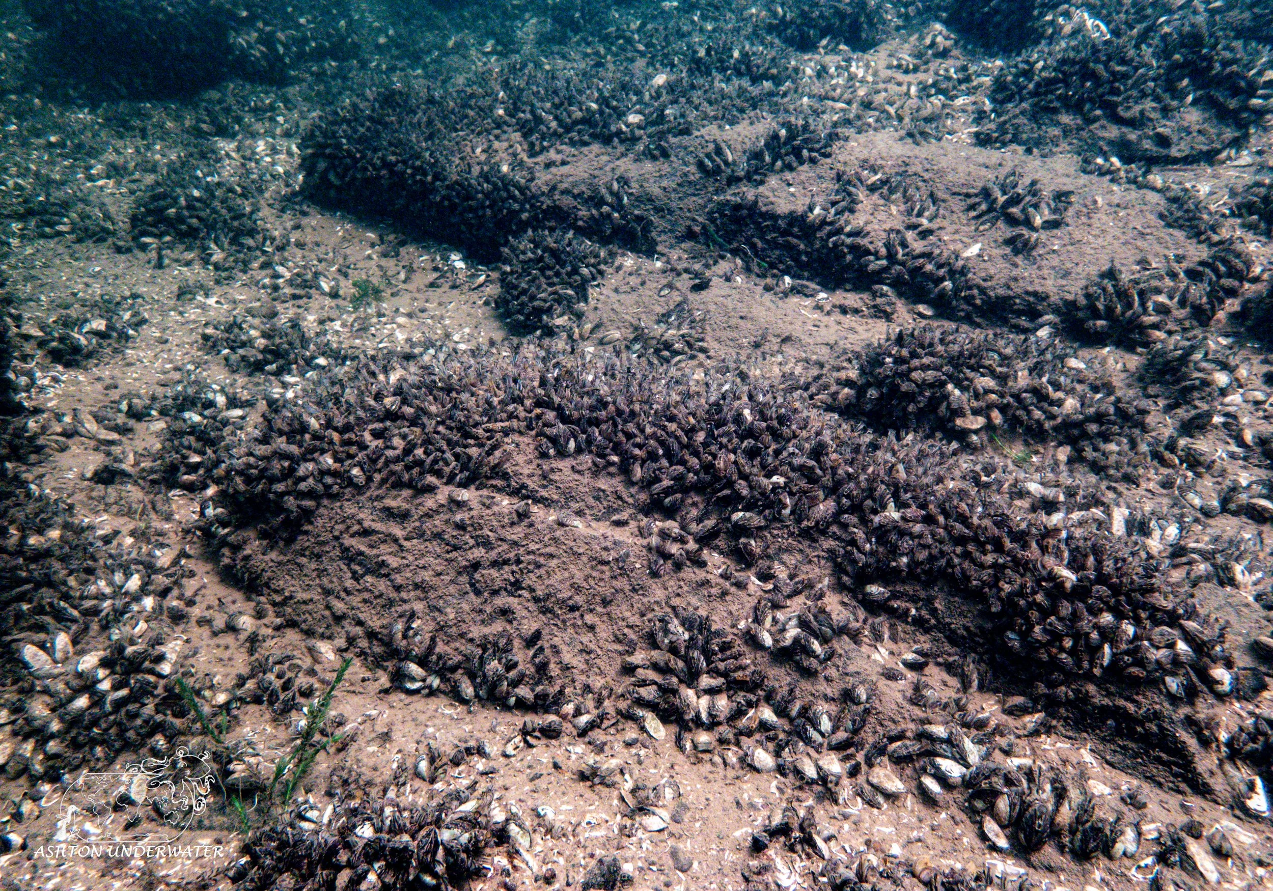
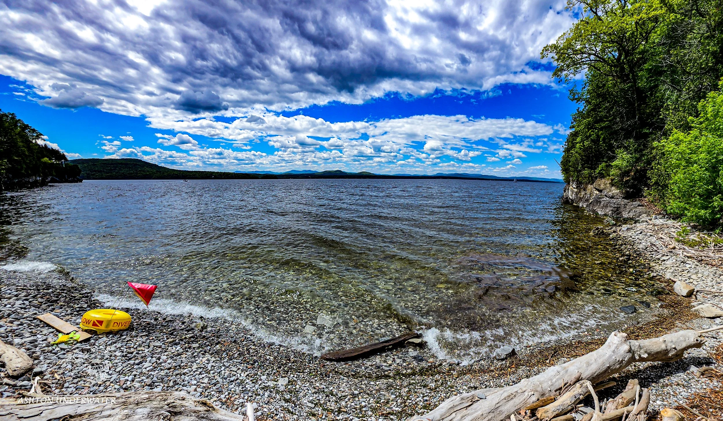
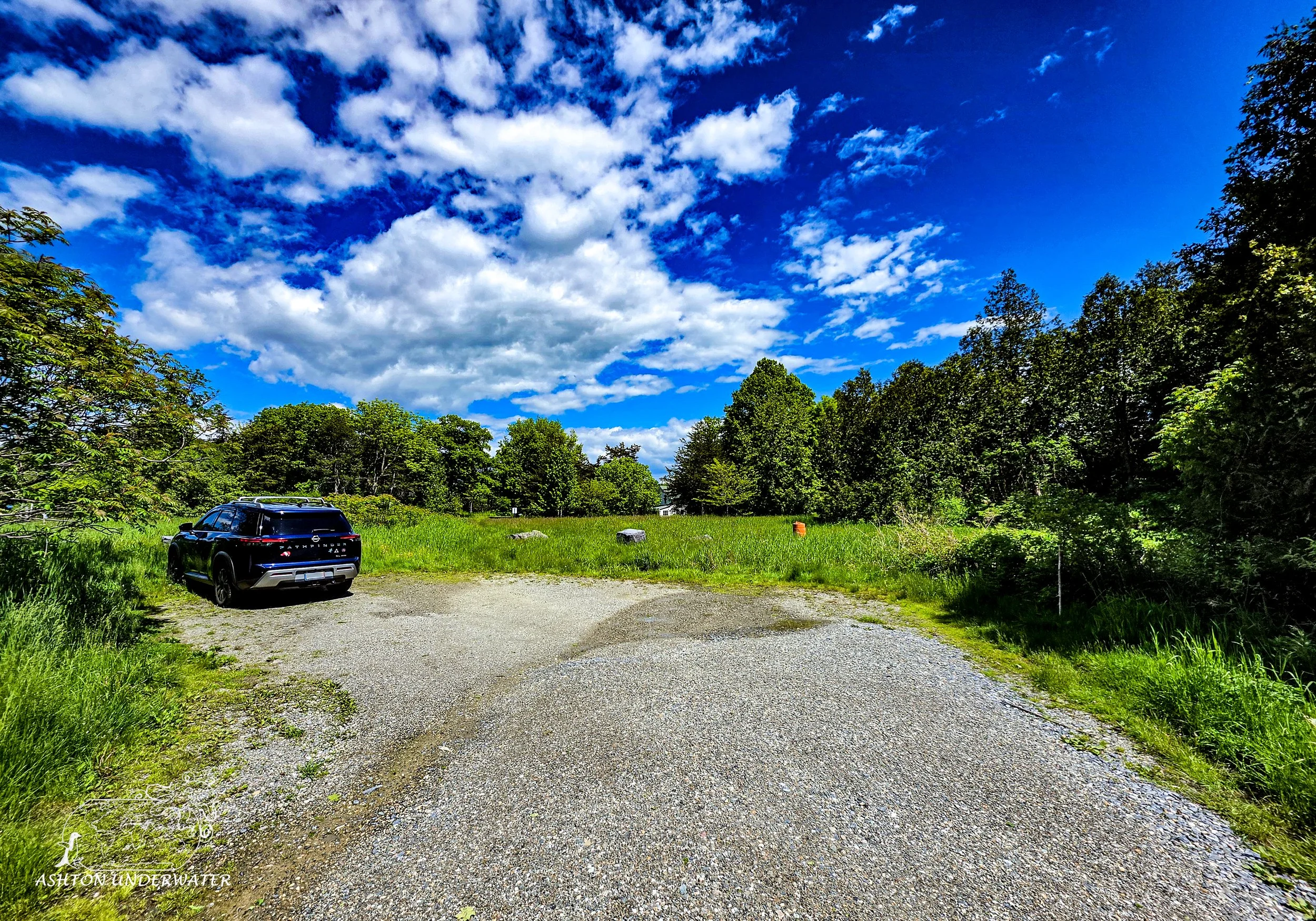
Dove at Thompson Point near Whiskey Bay, it was a fine final dive. There is a small parking area across the road from the entry point, but is very much one of those sites, unless you know it’s there you’ll miss it. The walk from the parking area to the water isn’t that far, but right before the beach you do have to go down a decently steep slope so that can be challenging for some people. There is plenty of driftwood on the beach but be careful all the wood we saw was covered in bugs and spiders. Shake out any gear you have before getting in the water, you don’t want to take a spider friend on a dive with you. The dive starts in a protective cove you can easily swim out to get some depth without having to go that far. However around 60’ it was too dark to keep going without lights. Similar to the other freshwater sites there were plenty of large rocks, aquatic mussels, and a handful of fish cruising about. There were a couple of lines that were laid out, connecting a bicycle, a small wreck and then down into the darkness that we didn’t follow. In the distance we totally saw Champ lurking just out of camera range, but he totally swam with us and hung out during the dive. An easy, clear dive with some interesting natural formations. It would be interesting to see more of the deeper wrecks that might exist, but I probably wouldn’t make a special trip out to revisit the site.
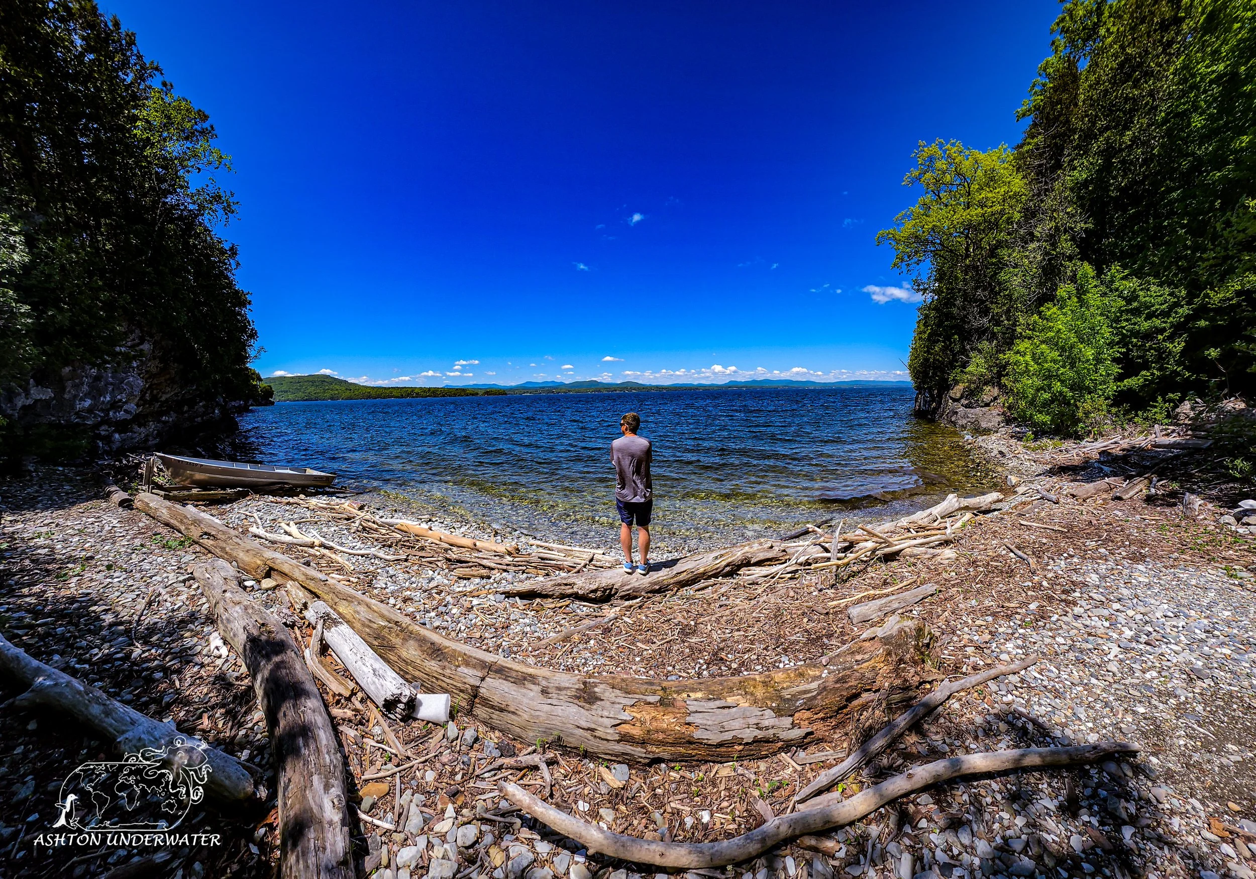
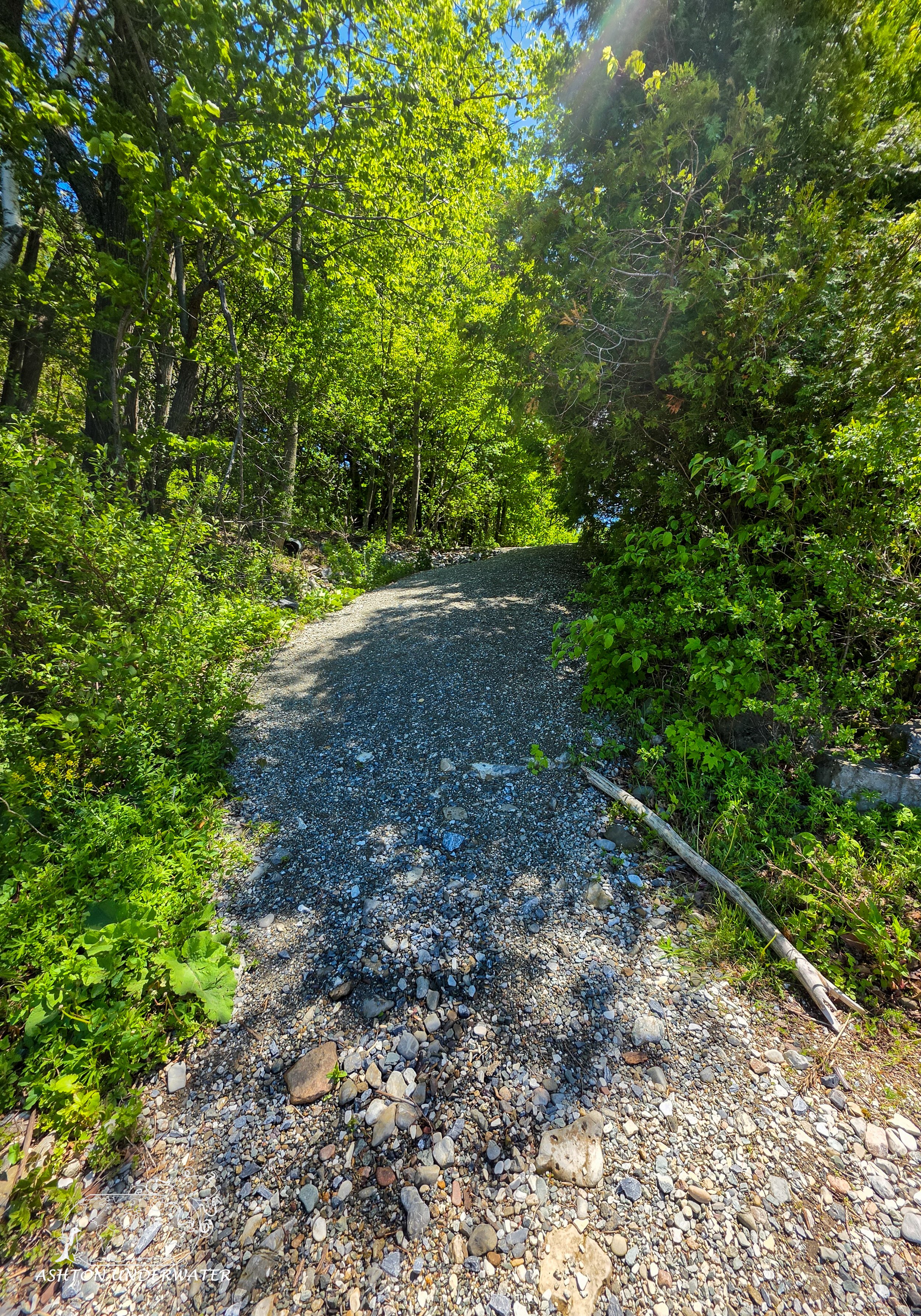
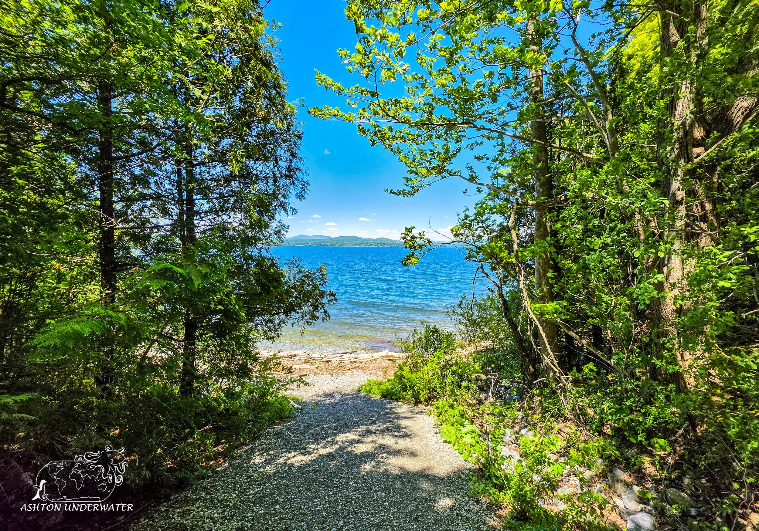
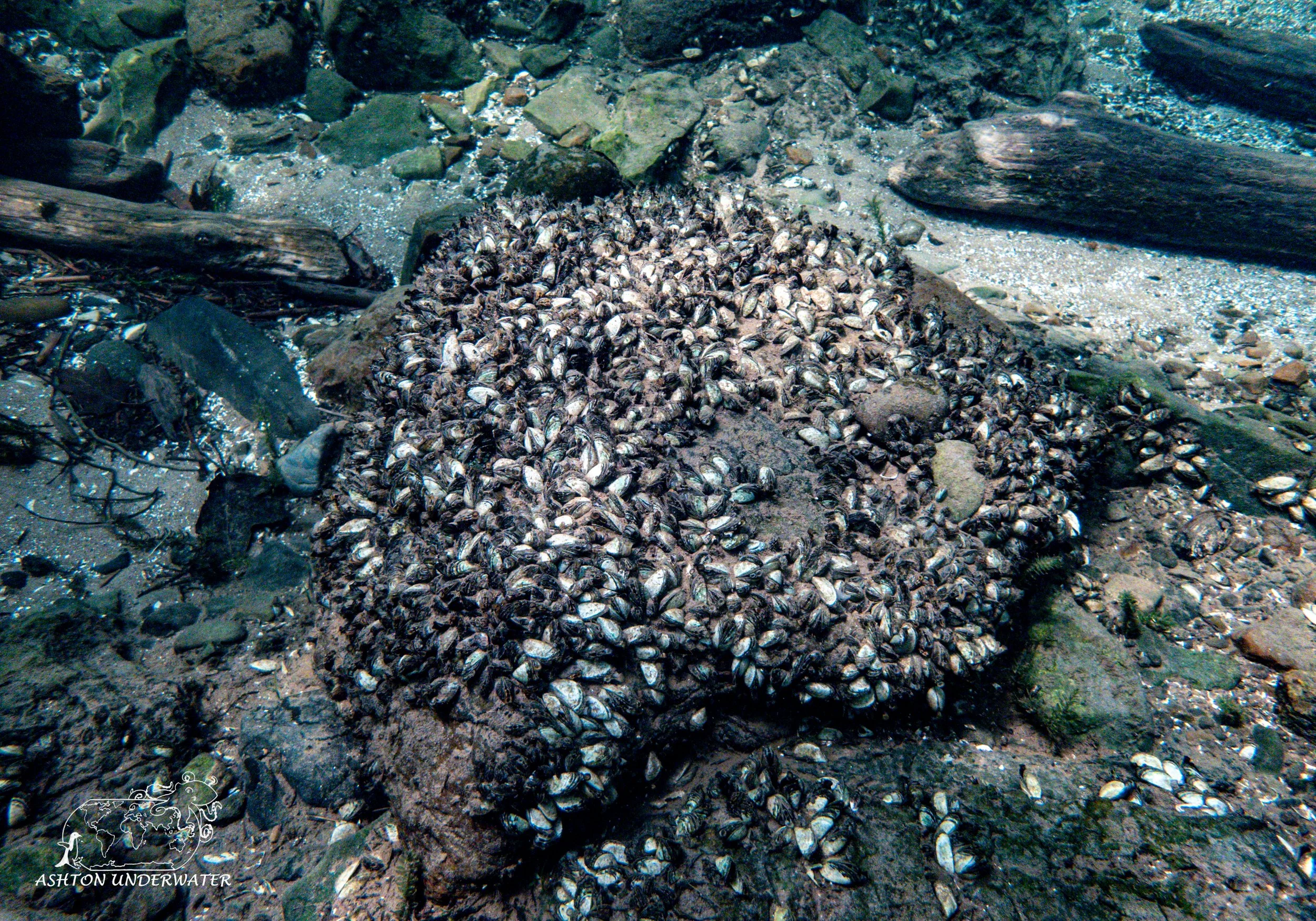
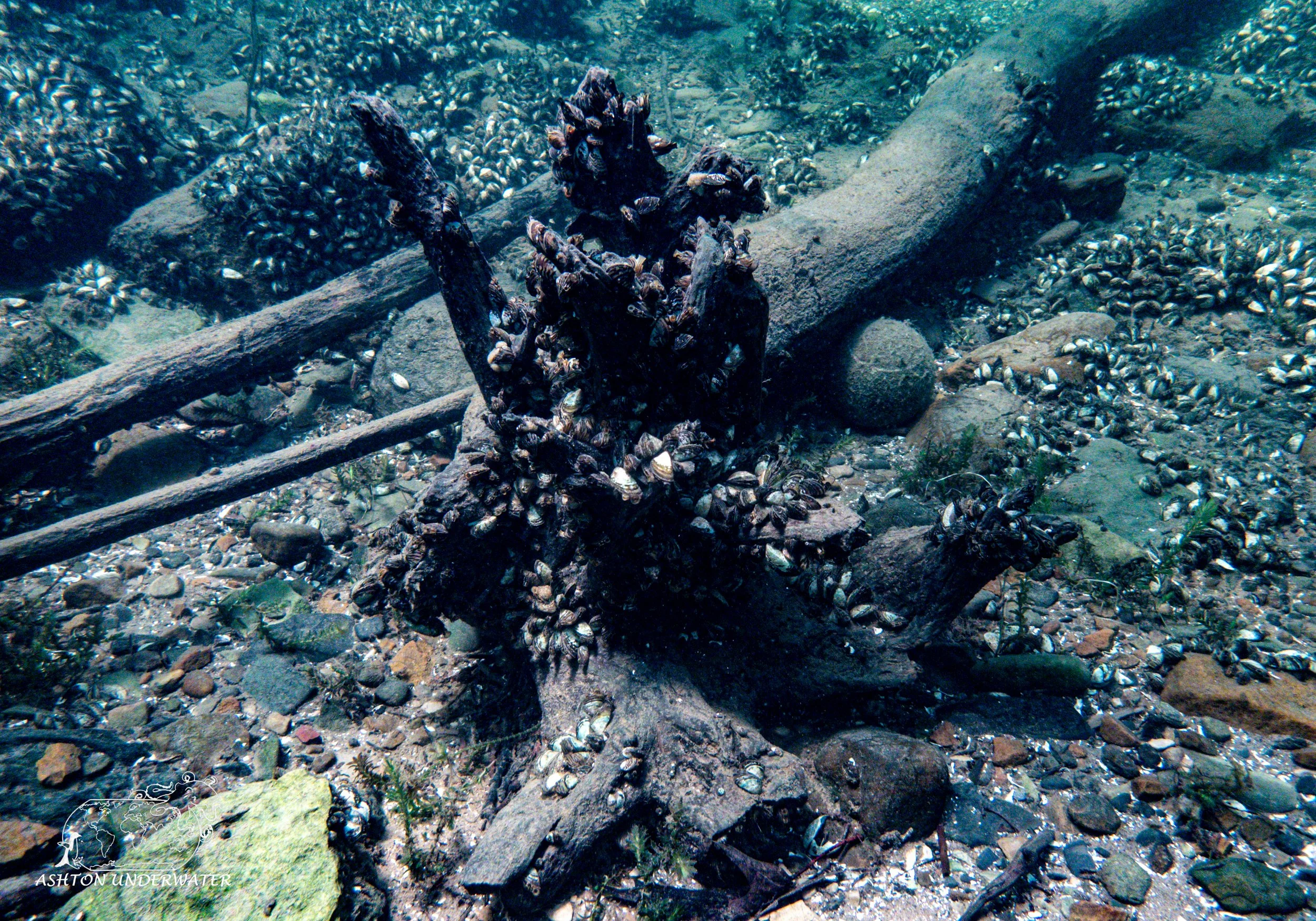
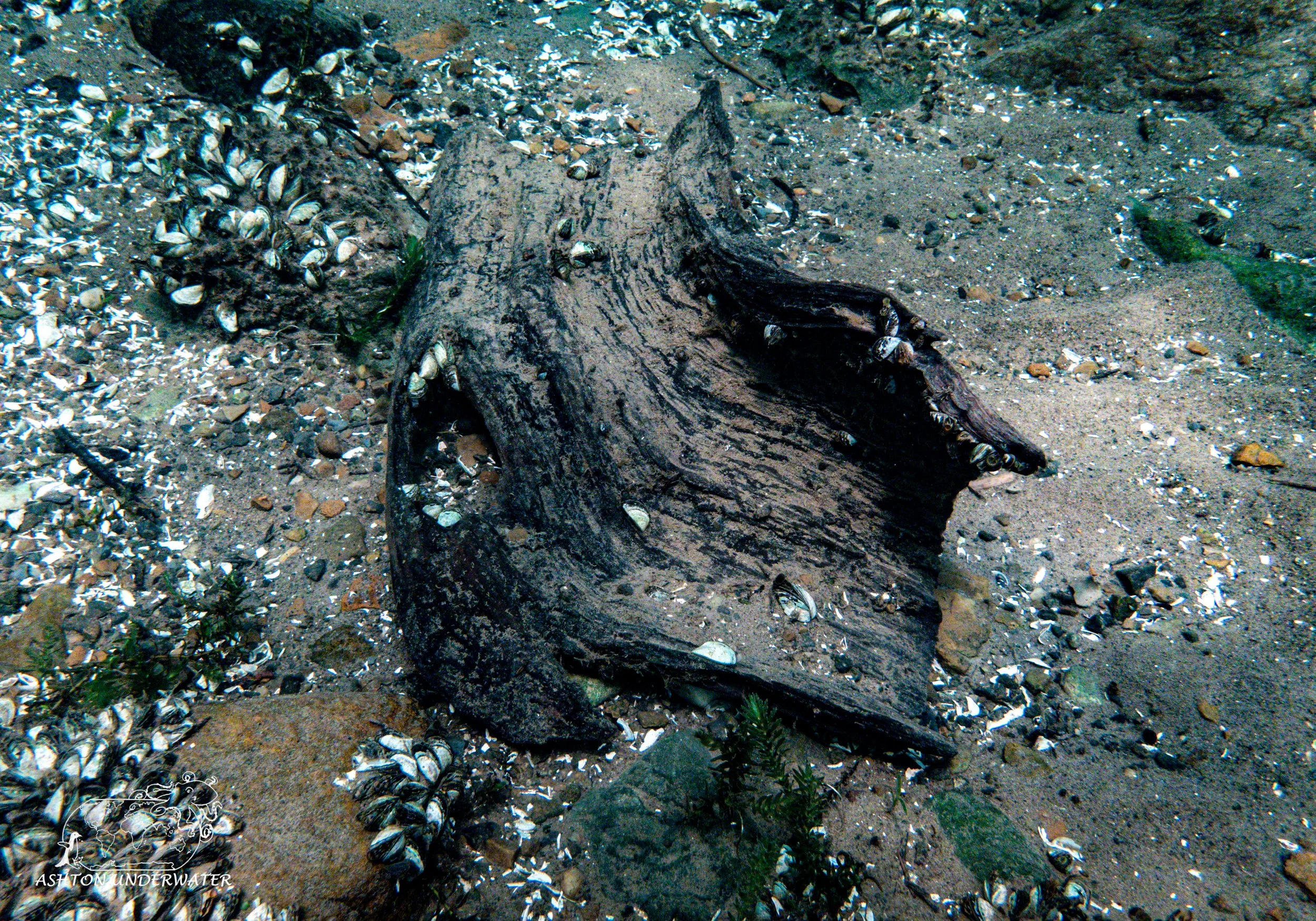
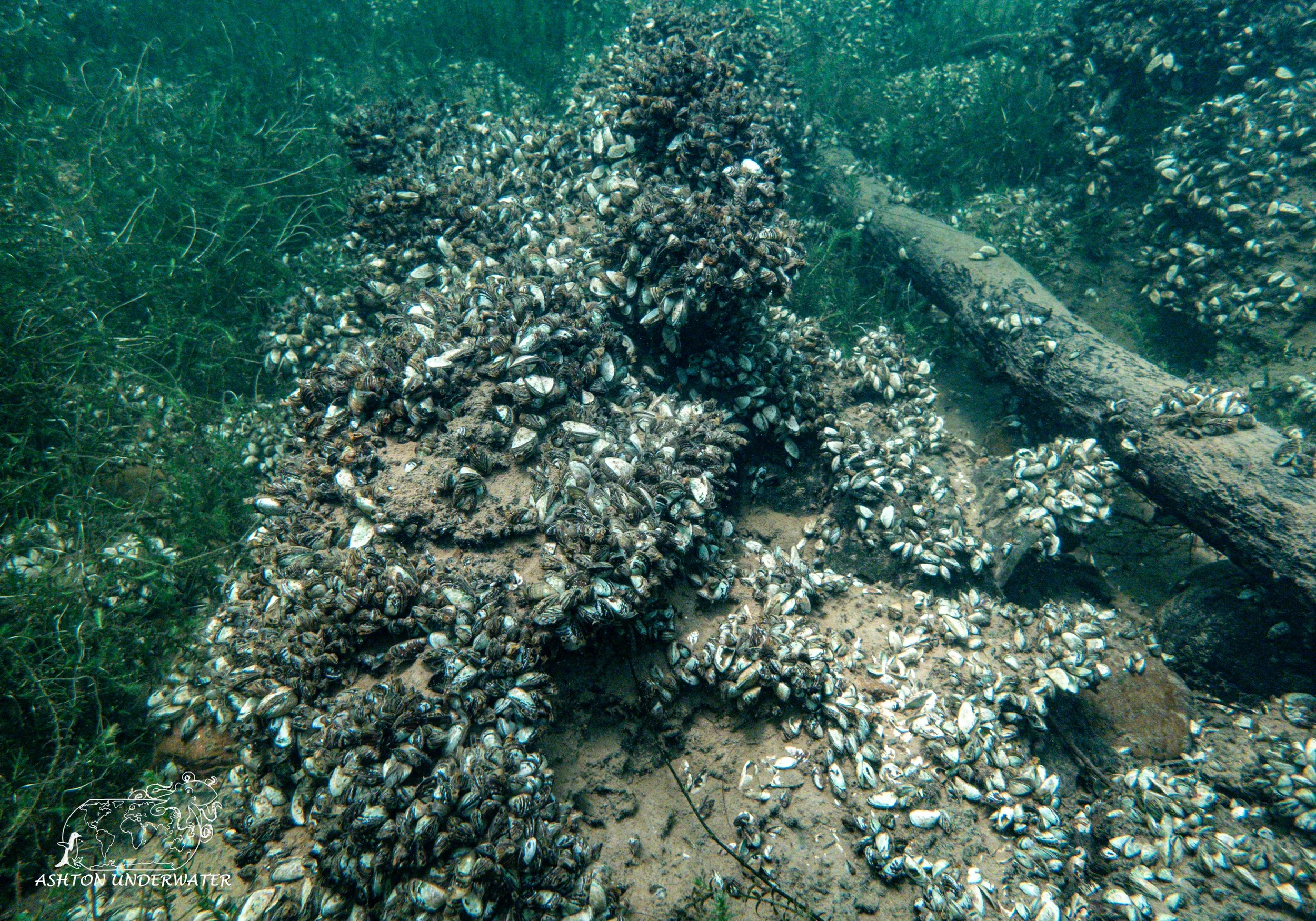
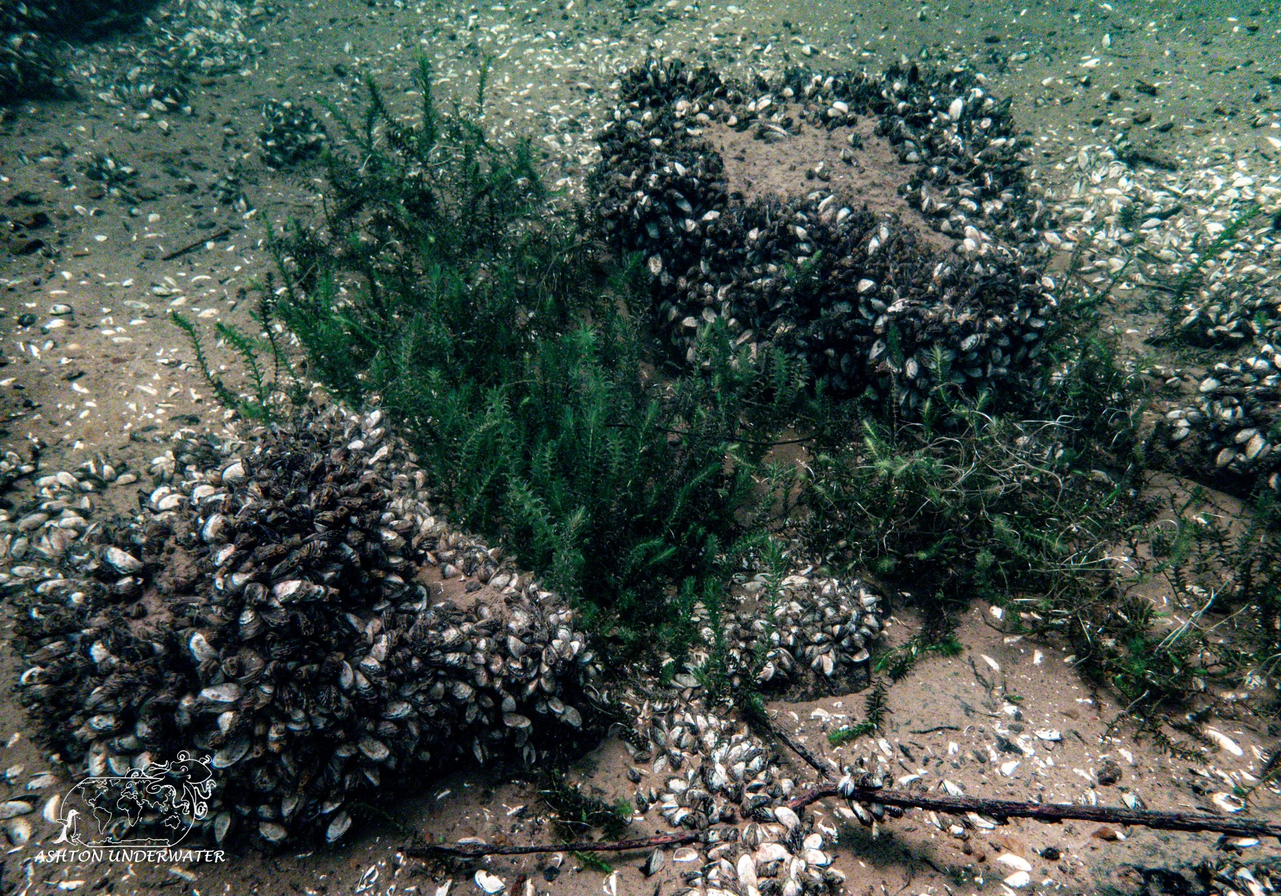
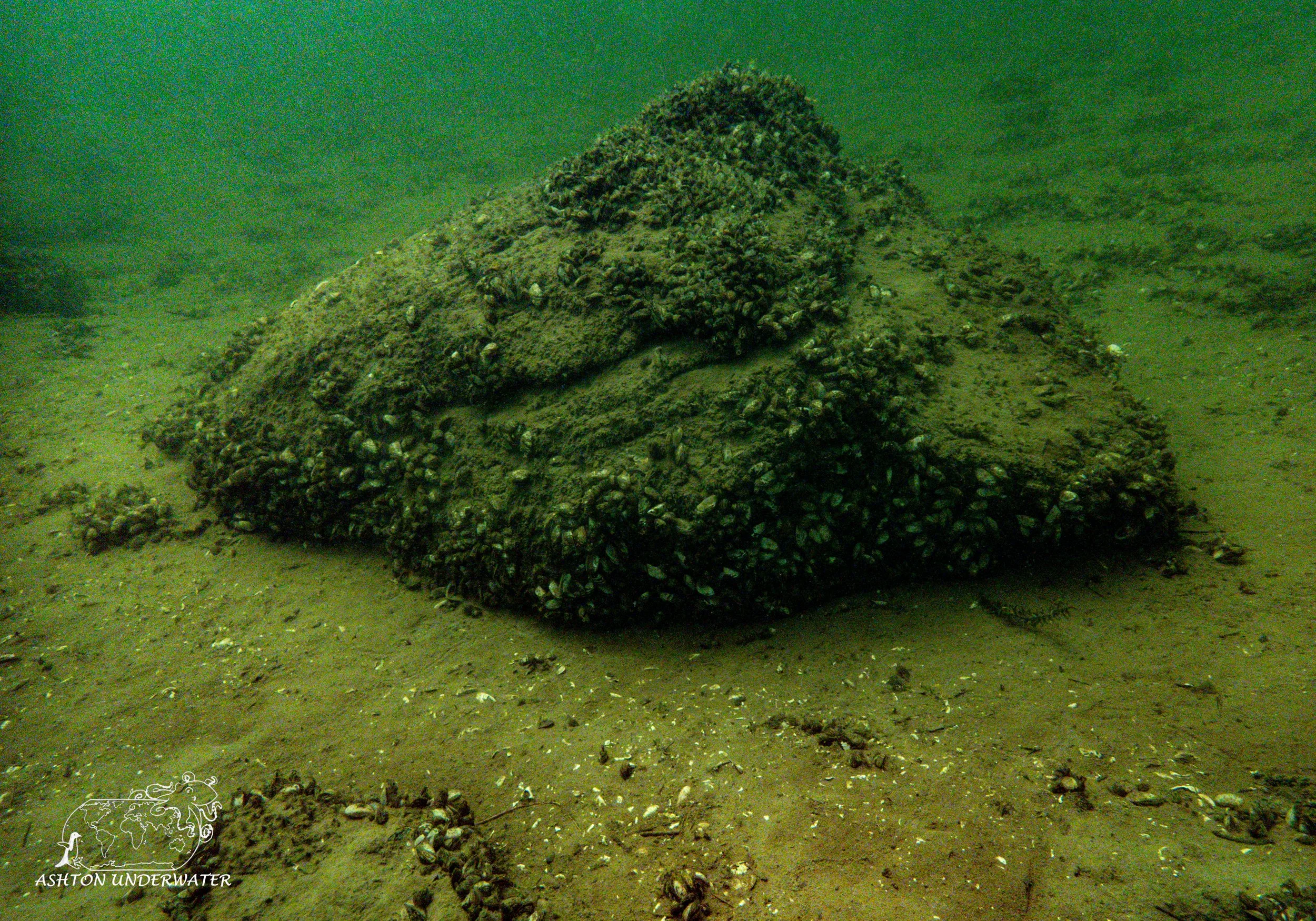
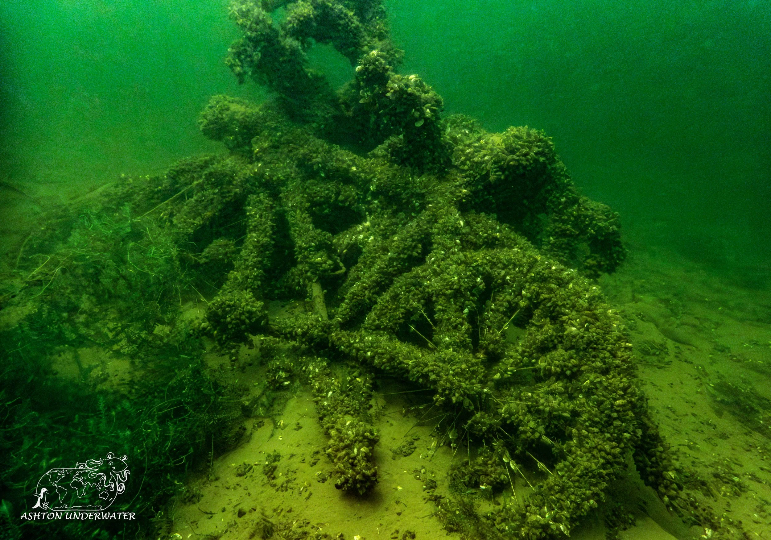
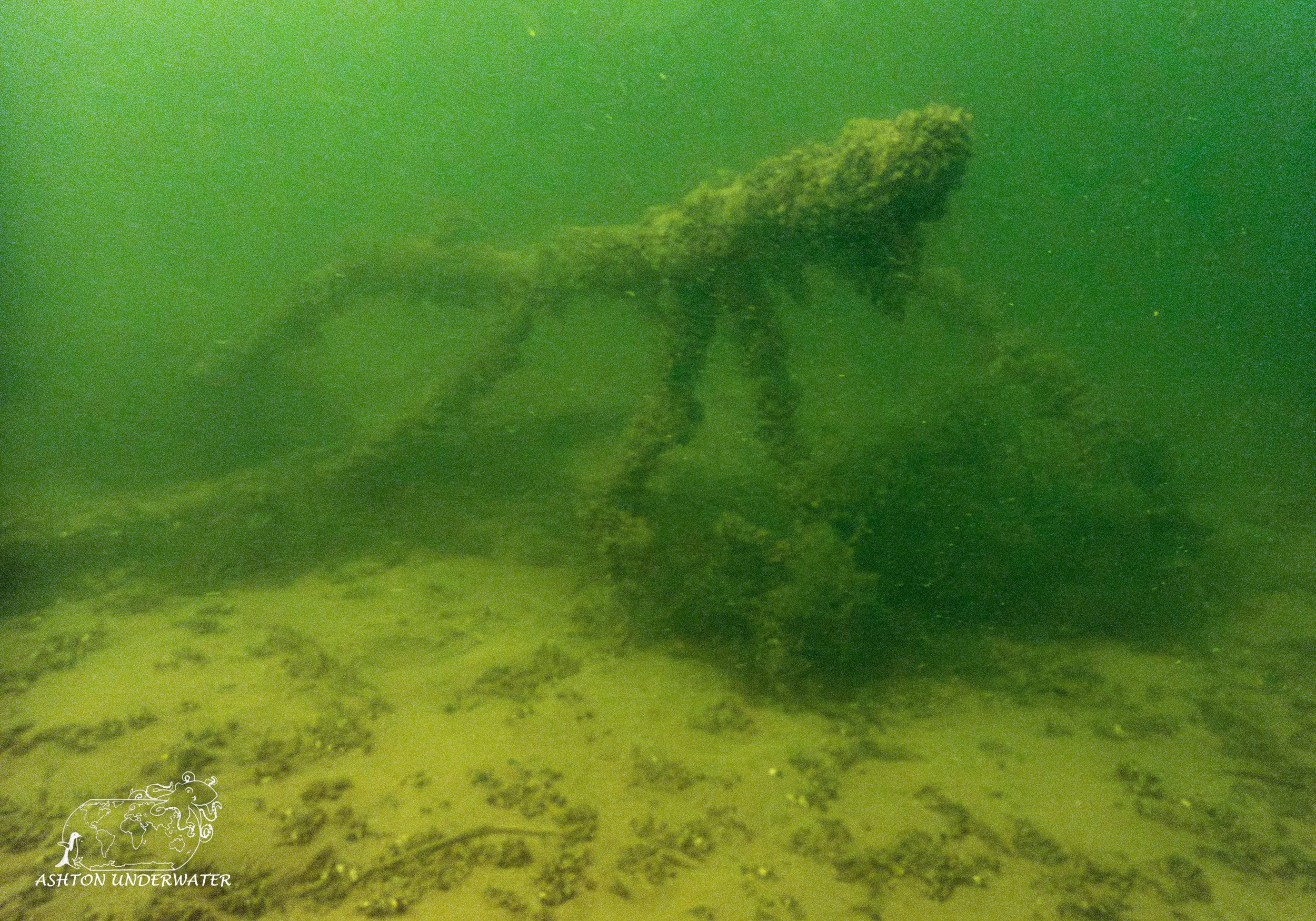
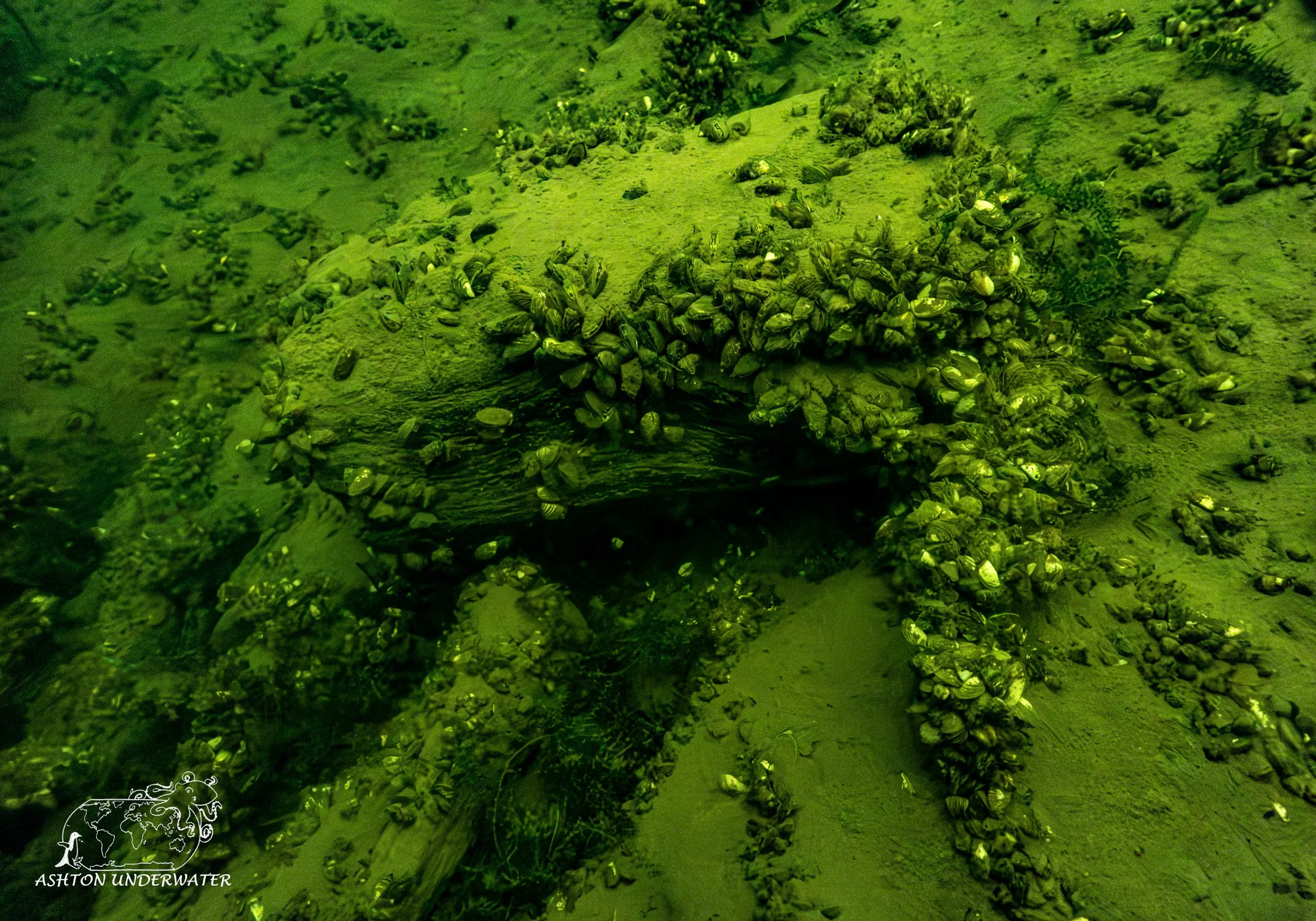
After the last dive of the trip, we loaded everything up into the car, got back to the BnB and let everything dry out before making out way back to Chicago via Canada since certain people refuse to drive through Ohio.
Leg Seven: Vermont to Toronto
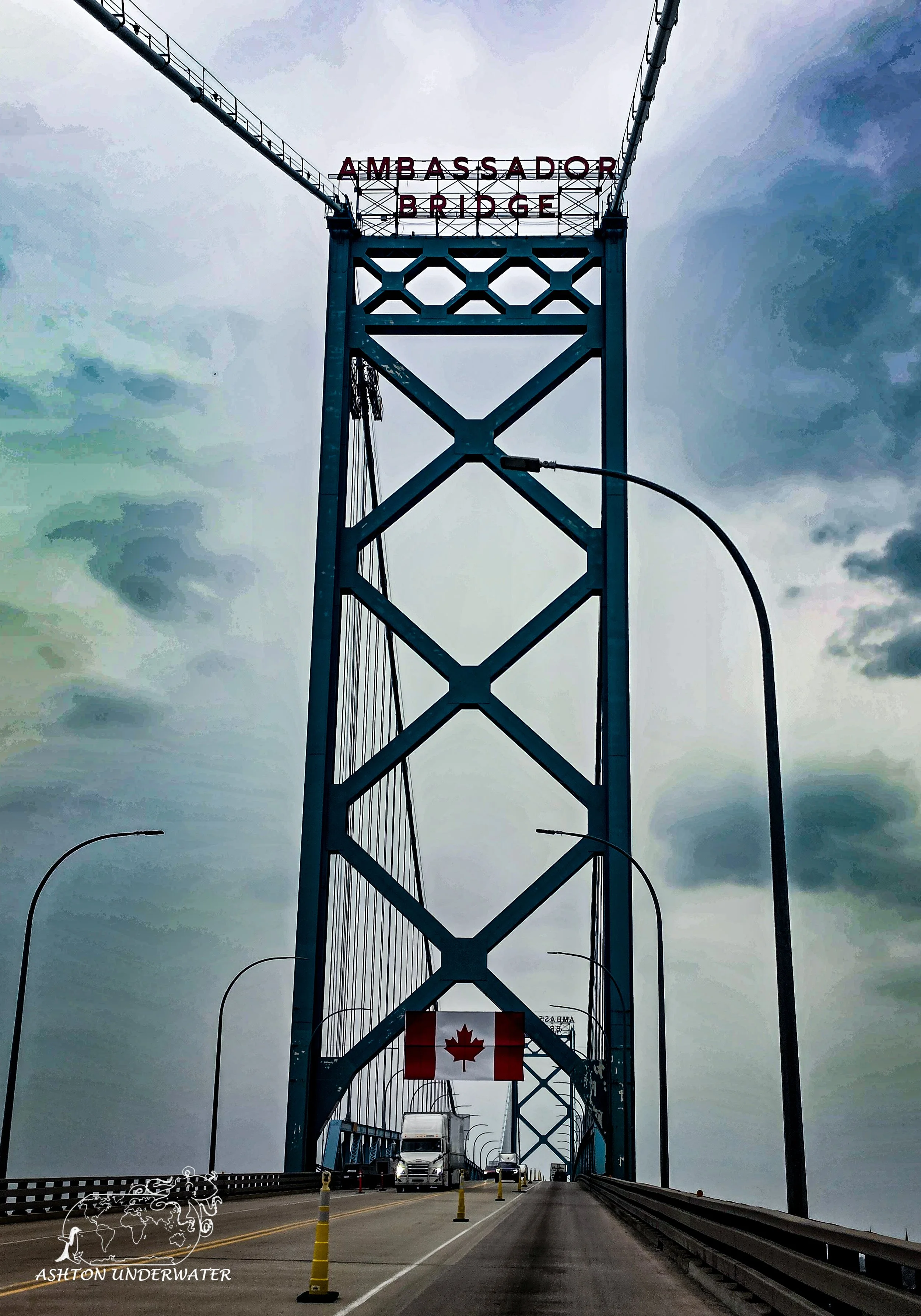
On our last morning, we loaded up more stuff than we started with, even after donating some things to various people along the way and started the trek back home. The drive to Toronto was uneventful, enjoying the Canadian scenery and passing through a very slow and remote border crossing, to the delight of a very bored crossing agent. Once we got to Toronto, dropped off a couple bags in our hotel room then headed for dinner and walked around Church Street with the promise of ice cream. After much back and forth we somehow ended back at the hotel…with no ice cream. Fat kid here was disappointed by the lies.
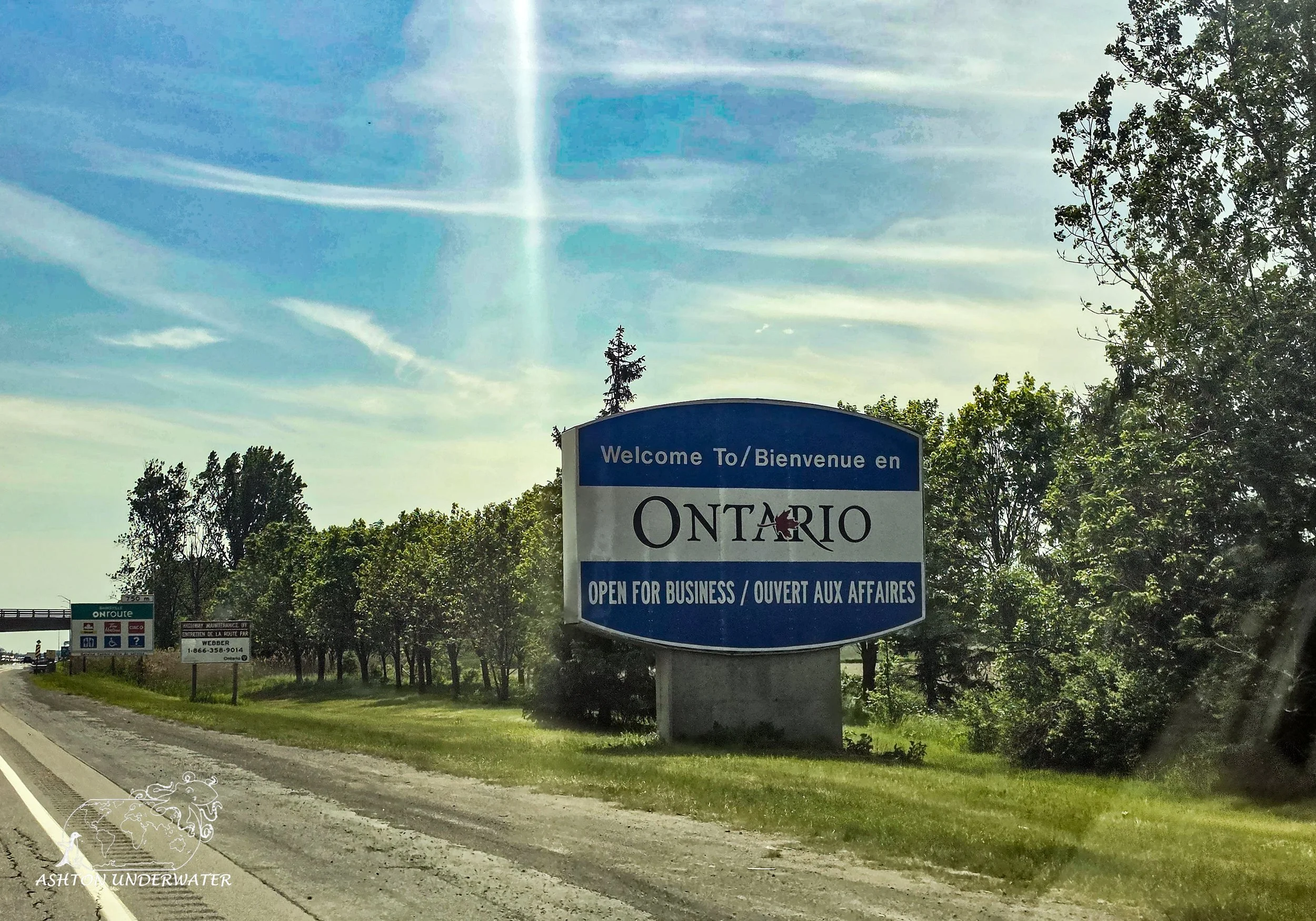
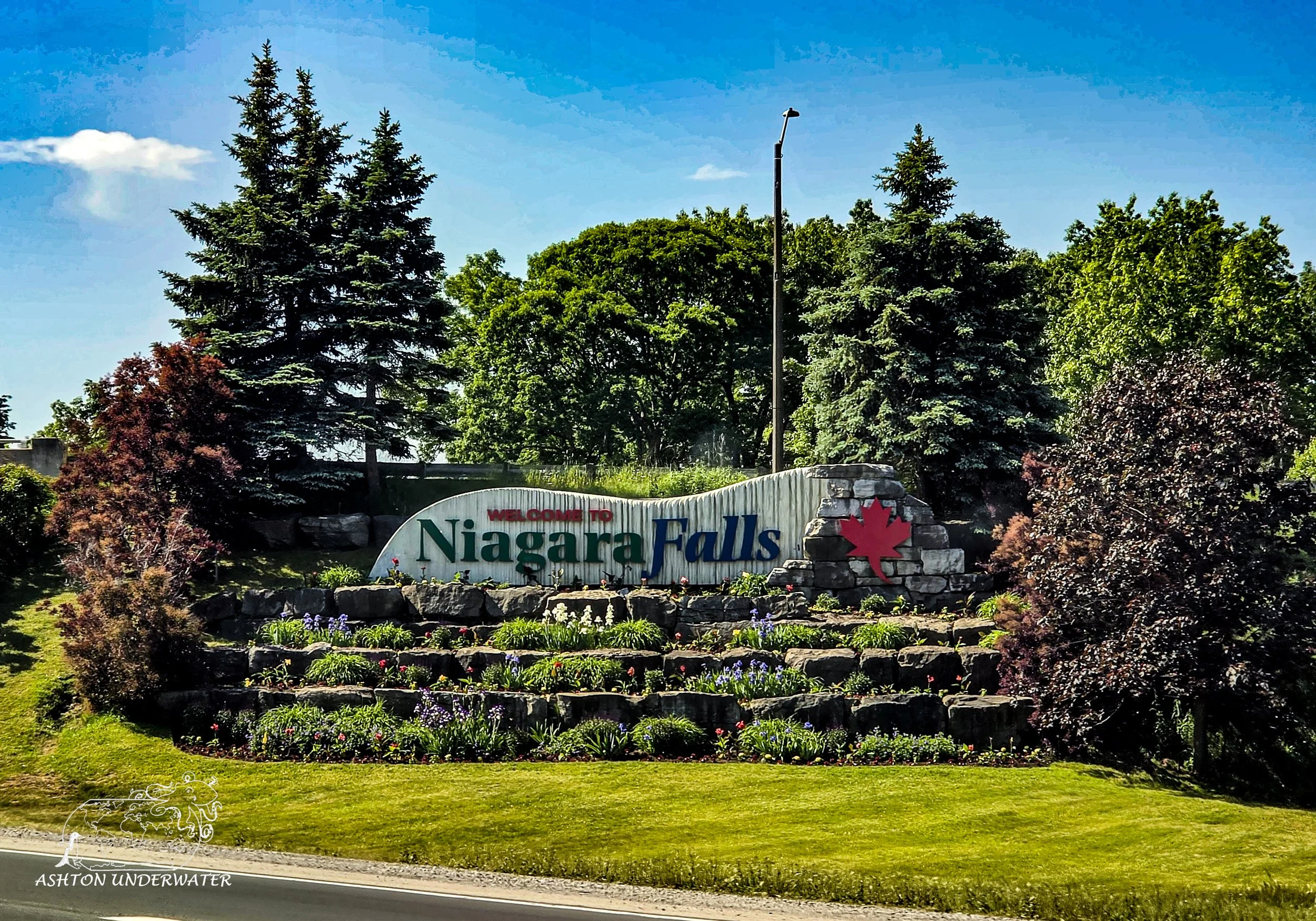
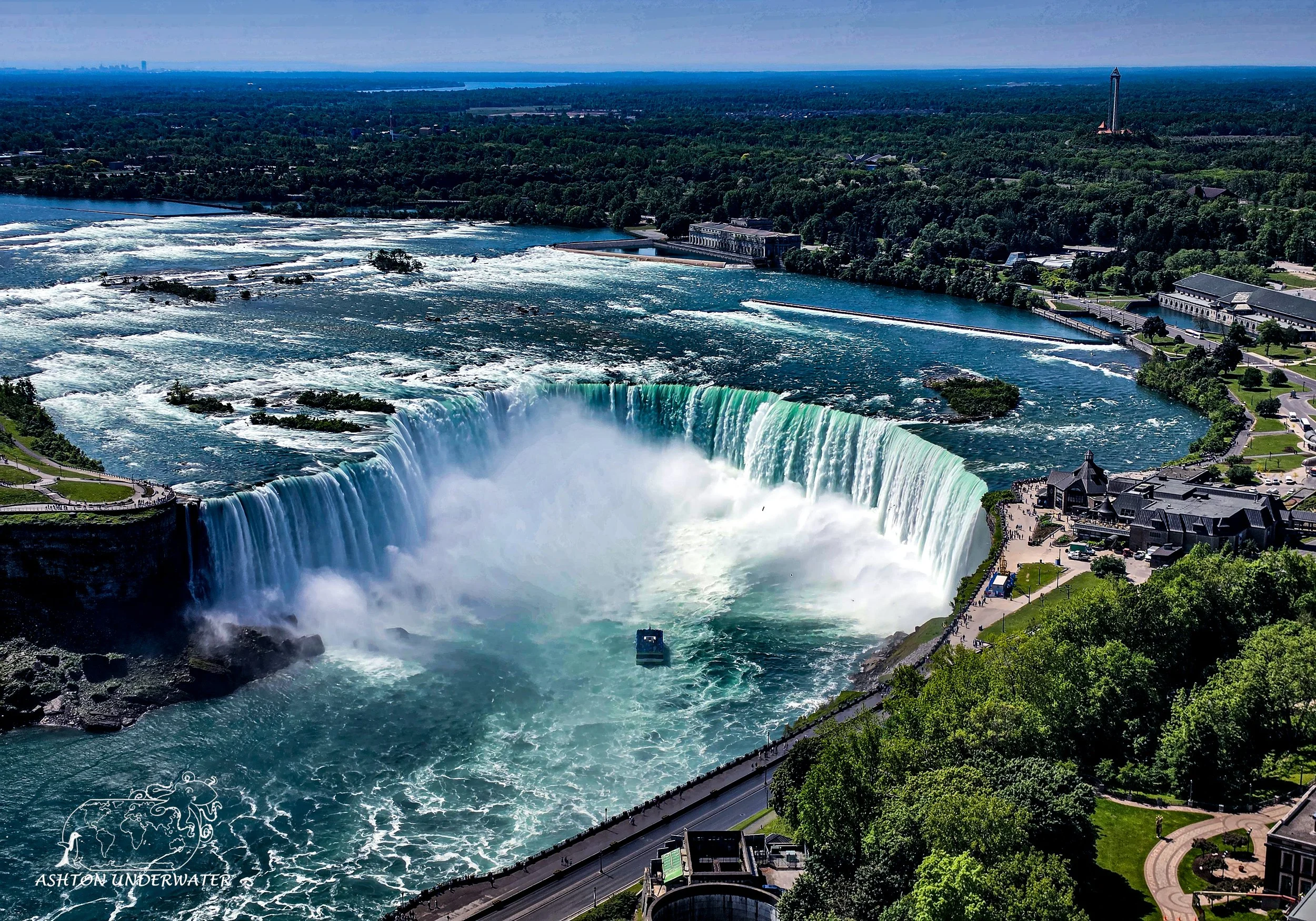
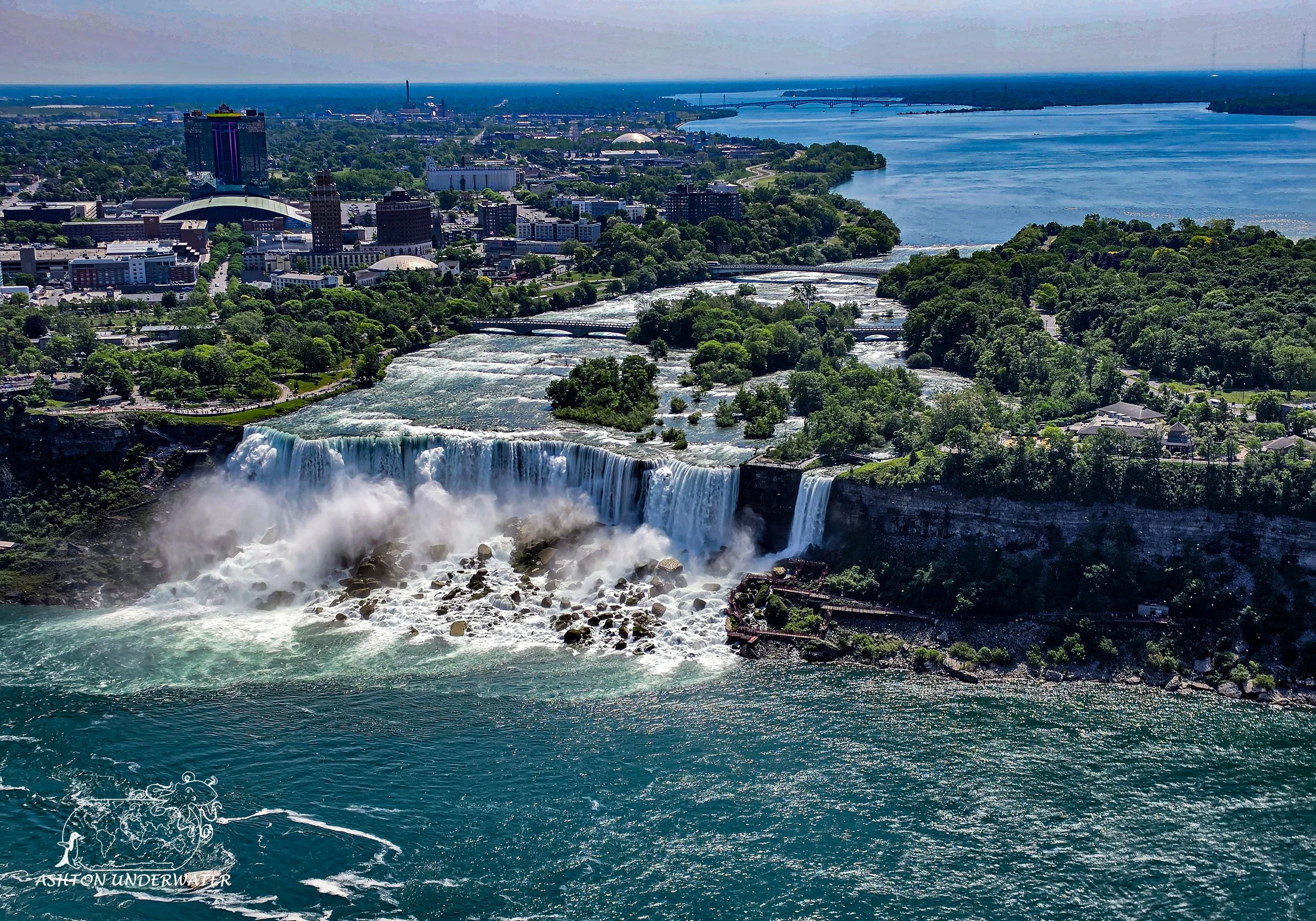
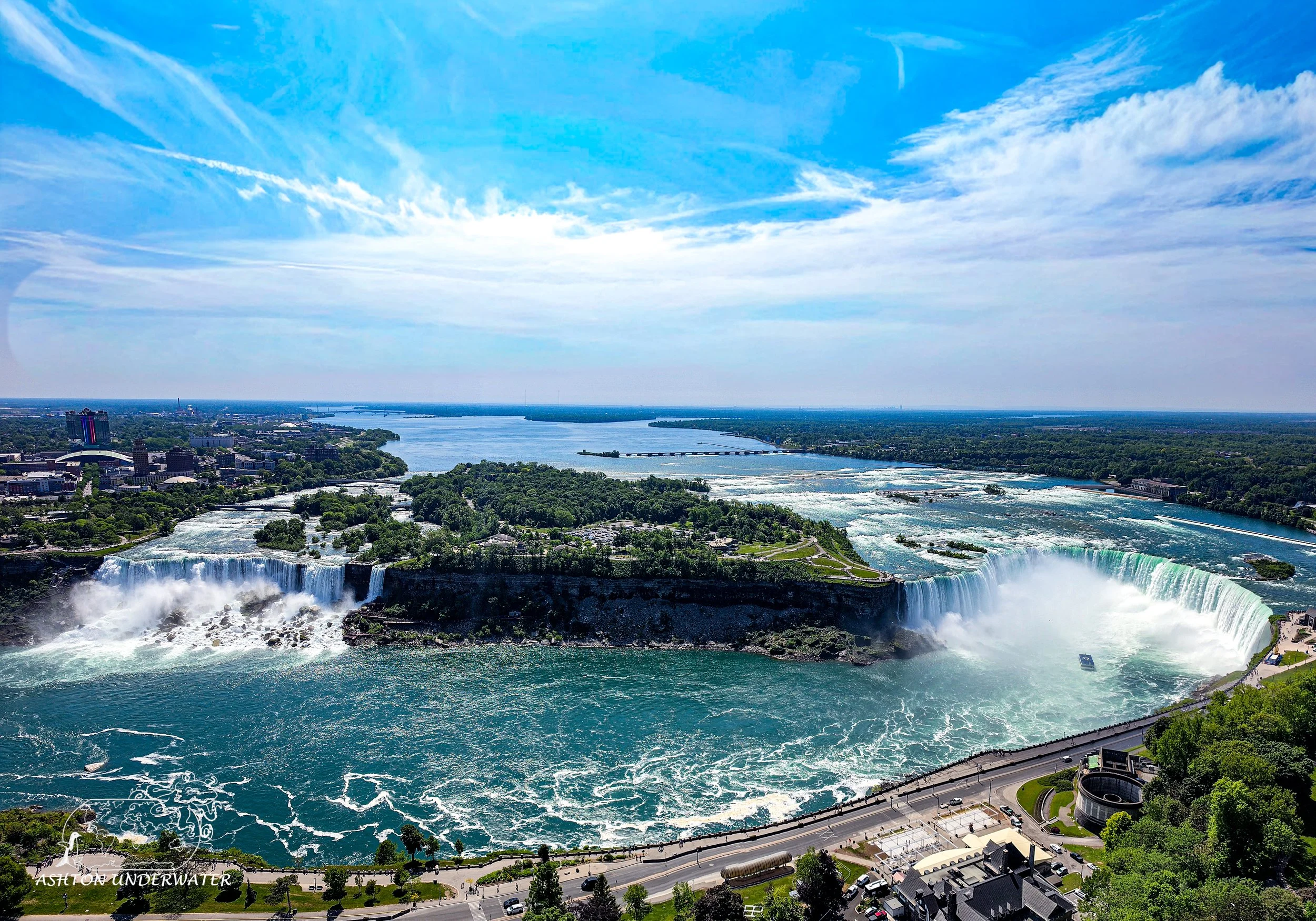
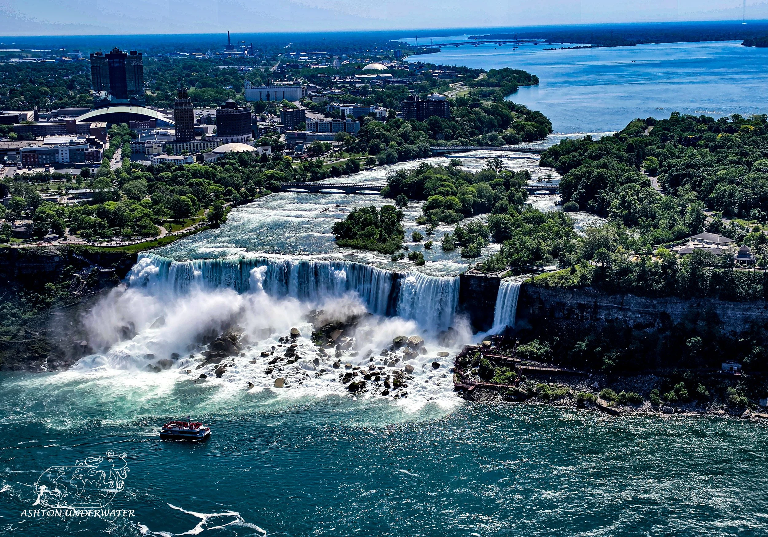
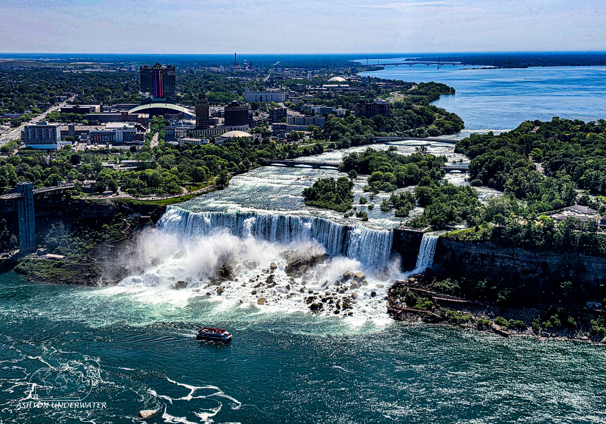
The next morning was spent getting coffee and breakfast at Understory Café, a lovely forest/plant decorated trans owned café. Fueled on caffeine we begrudgingly got back into the car and made our way to the Canadian side of the Niagara Falls, enjoying the birds eye view from the Skylon Tower. Then it was a simple drive back to the states and back to the comfort and solitude of home in Chicago. A long road trip with plenty of sites and new things to see and experience.